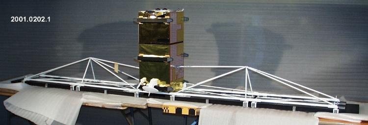
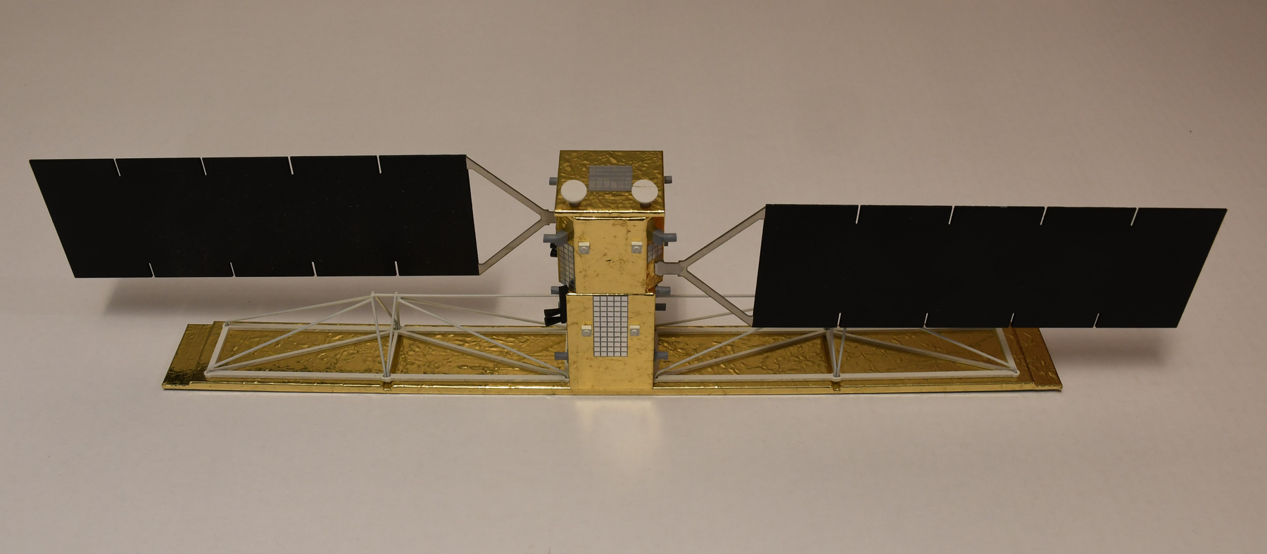
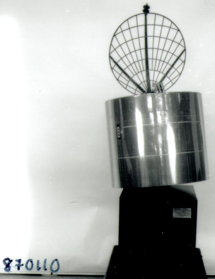
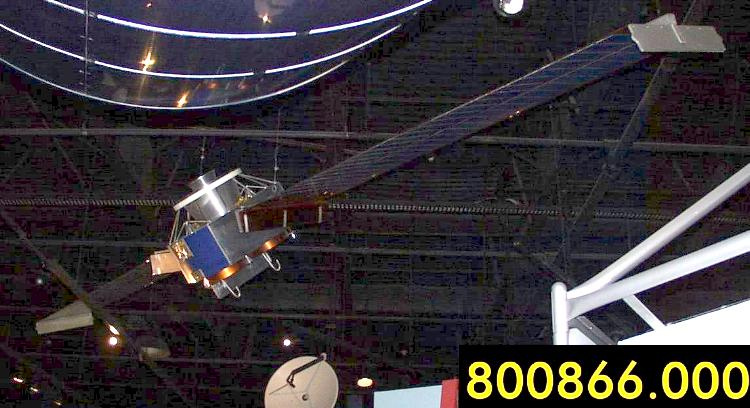
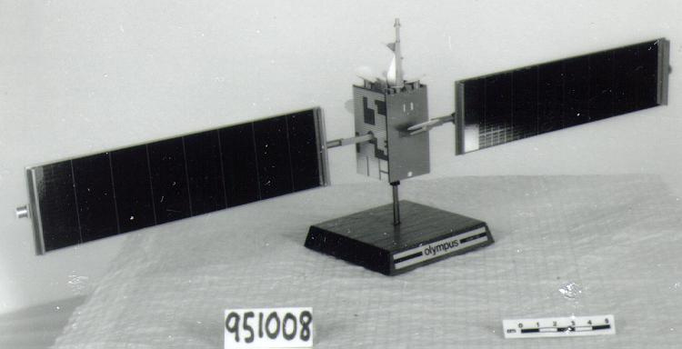
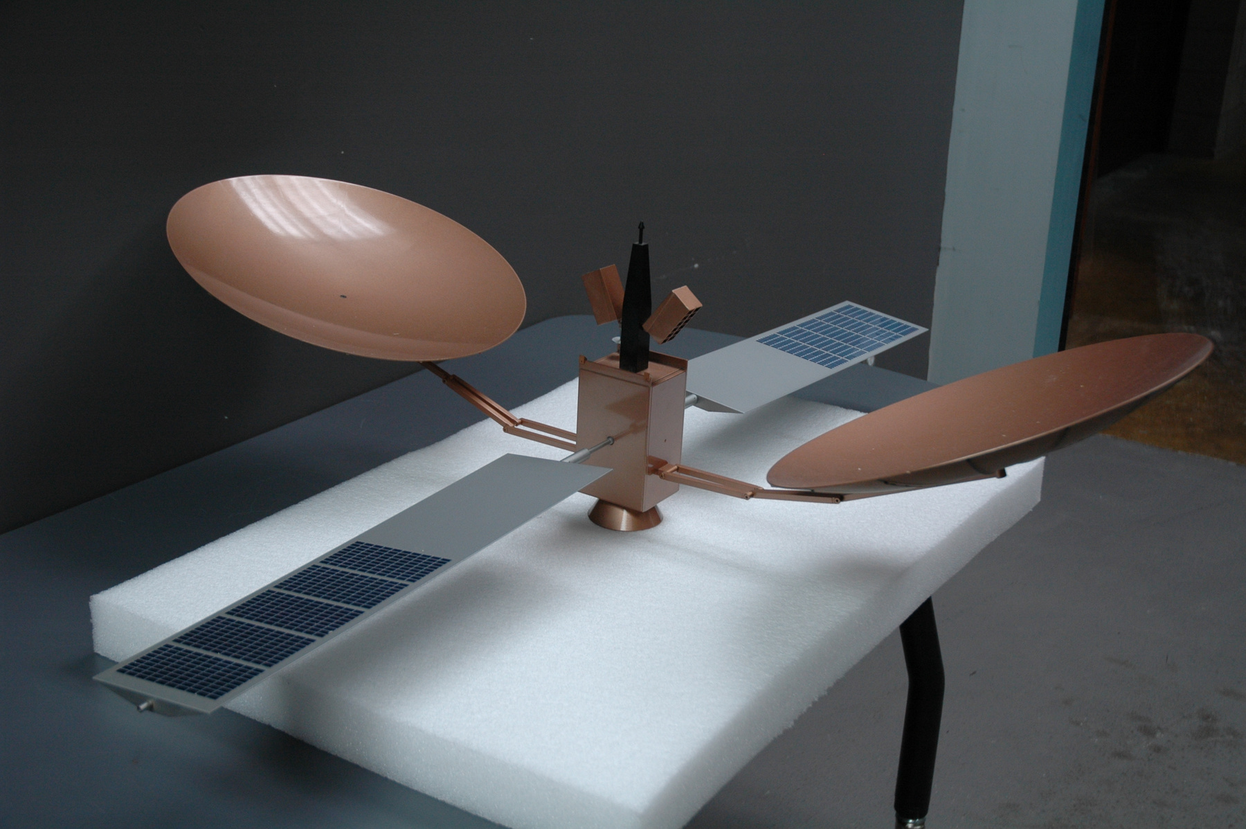
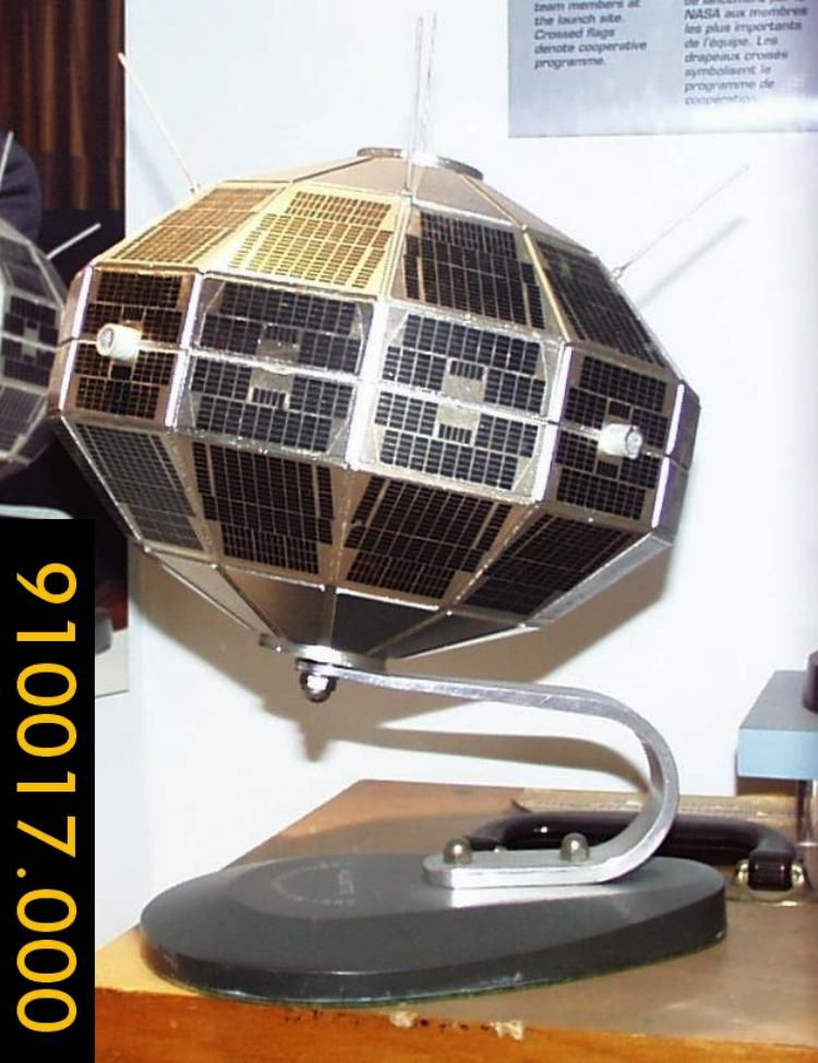
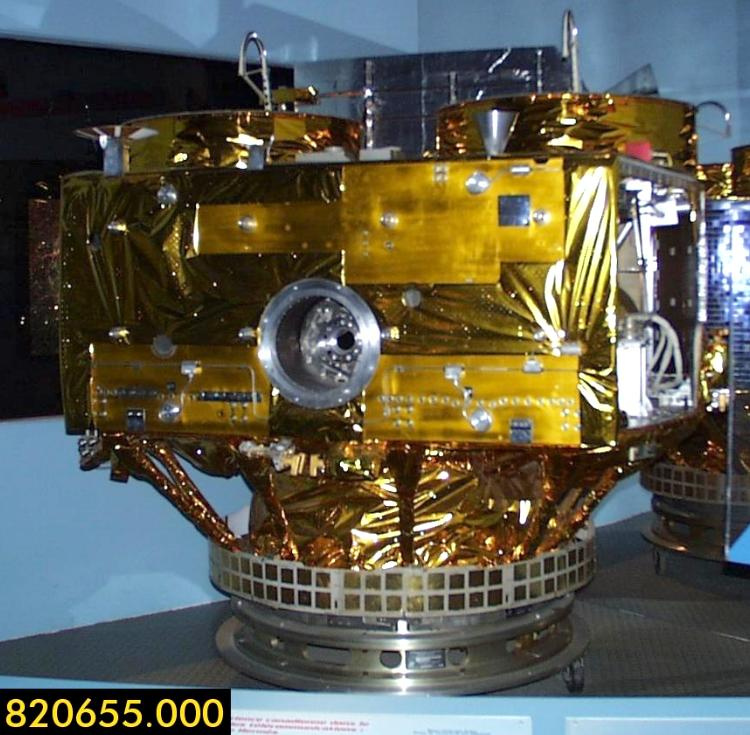
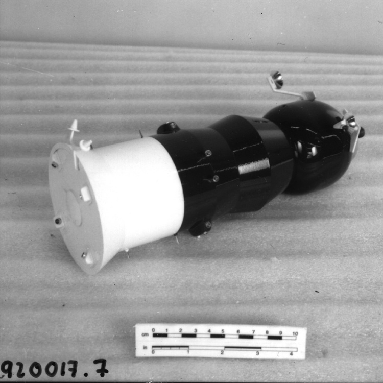
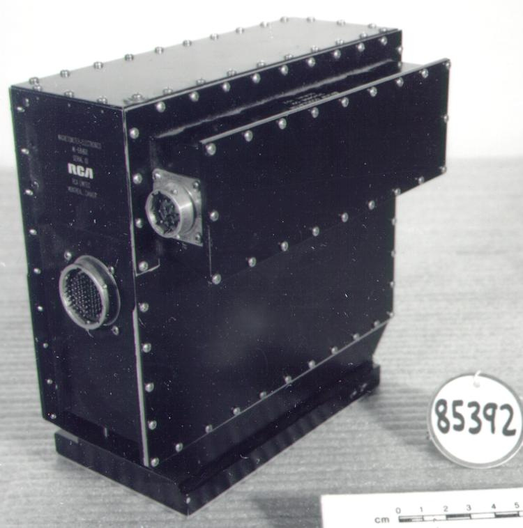
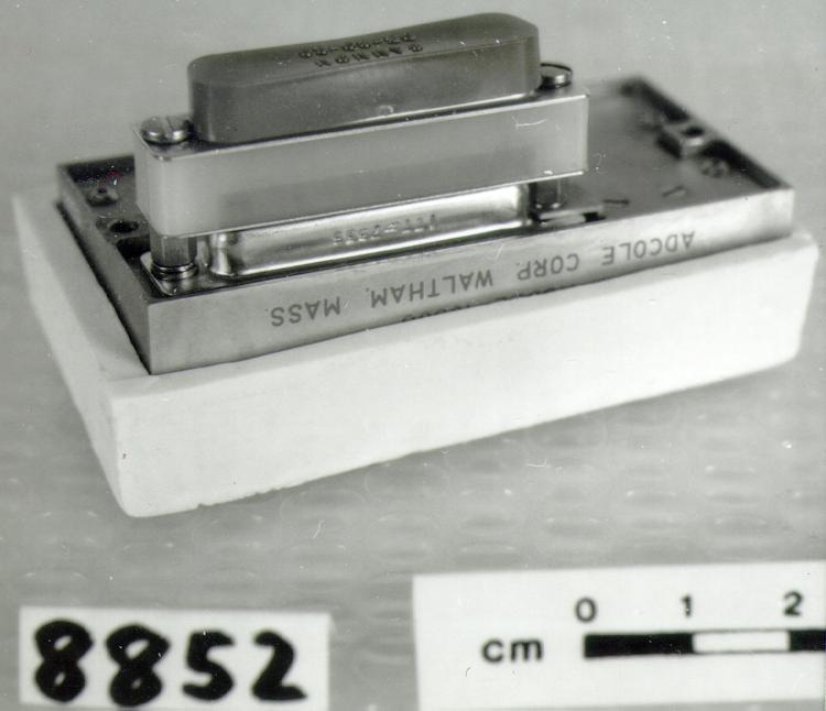
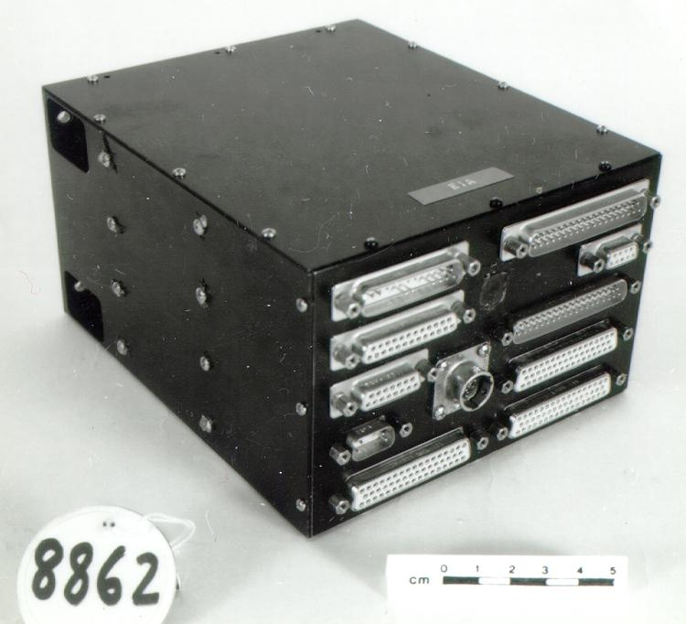
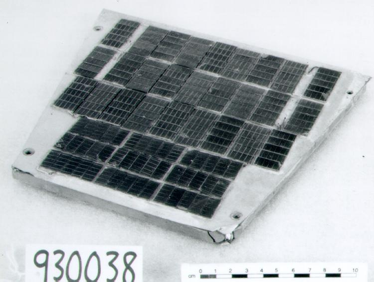
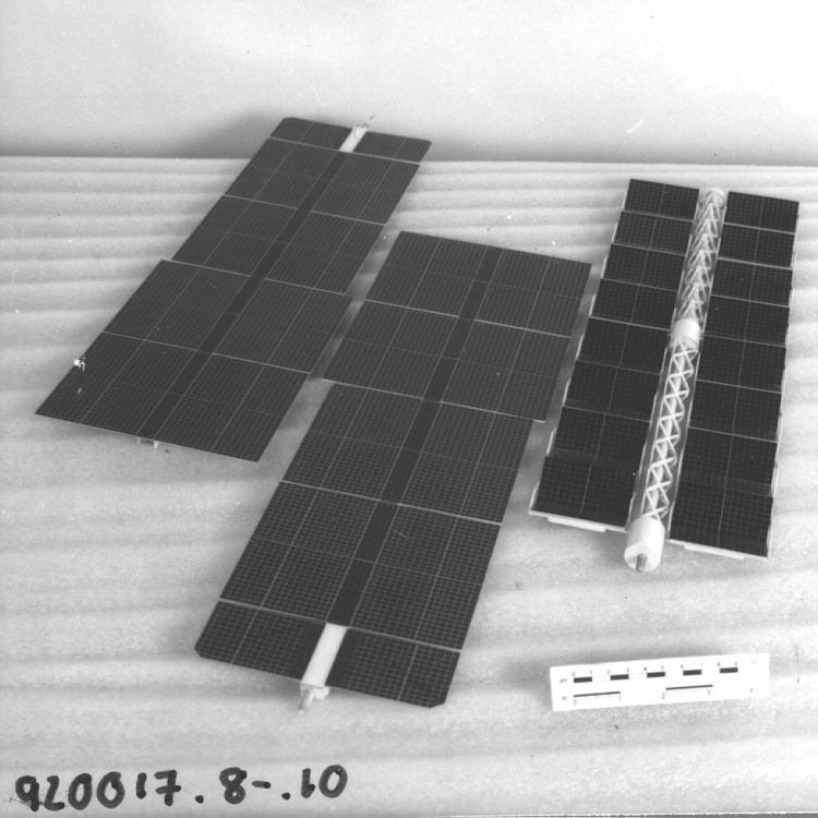
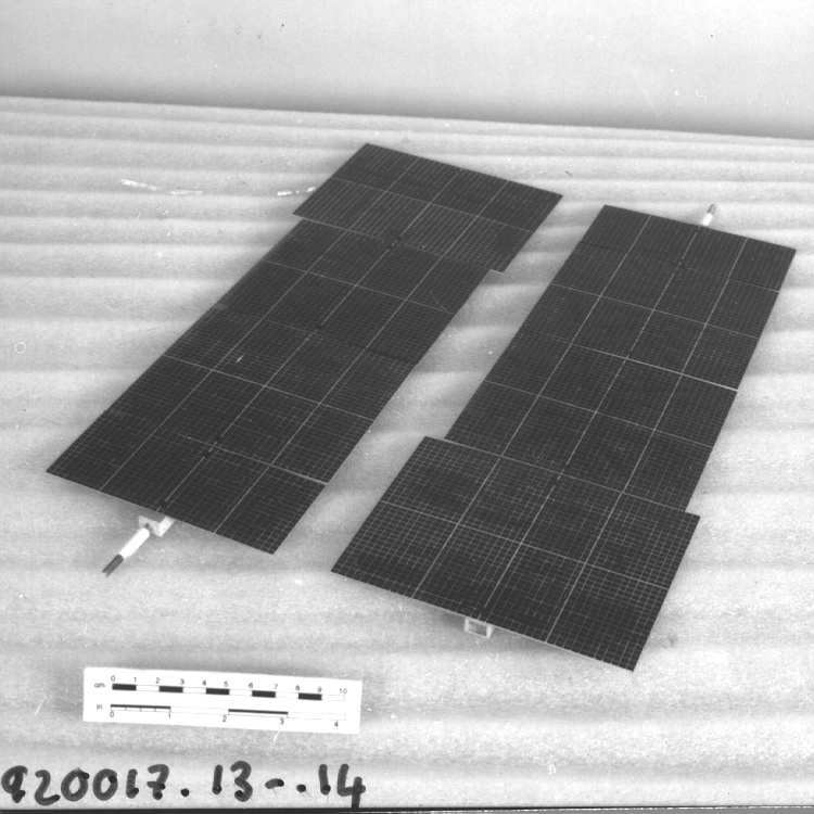
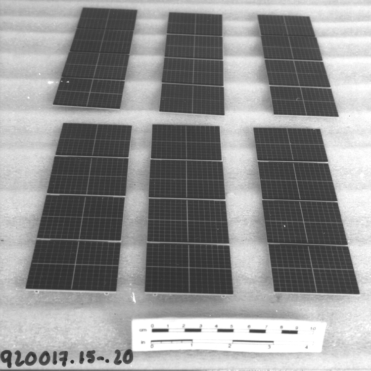
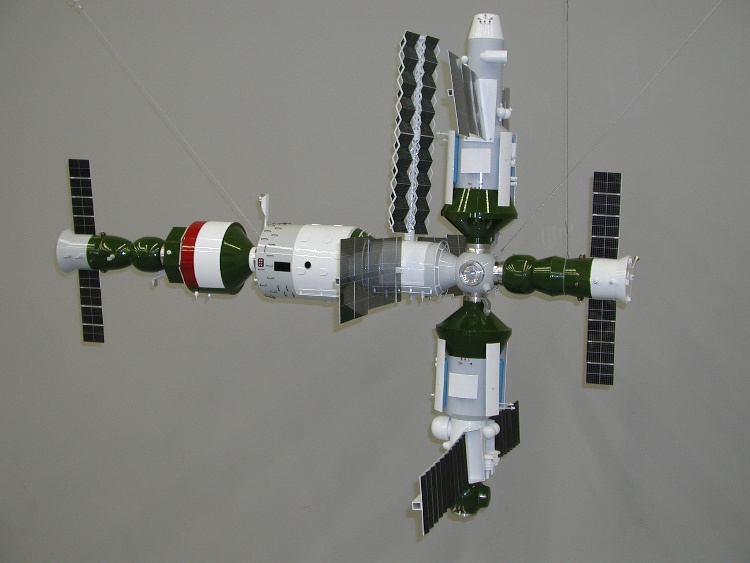
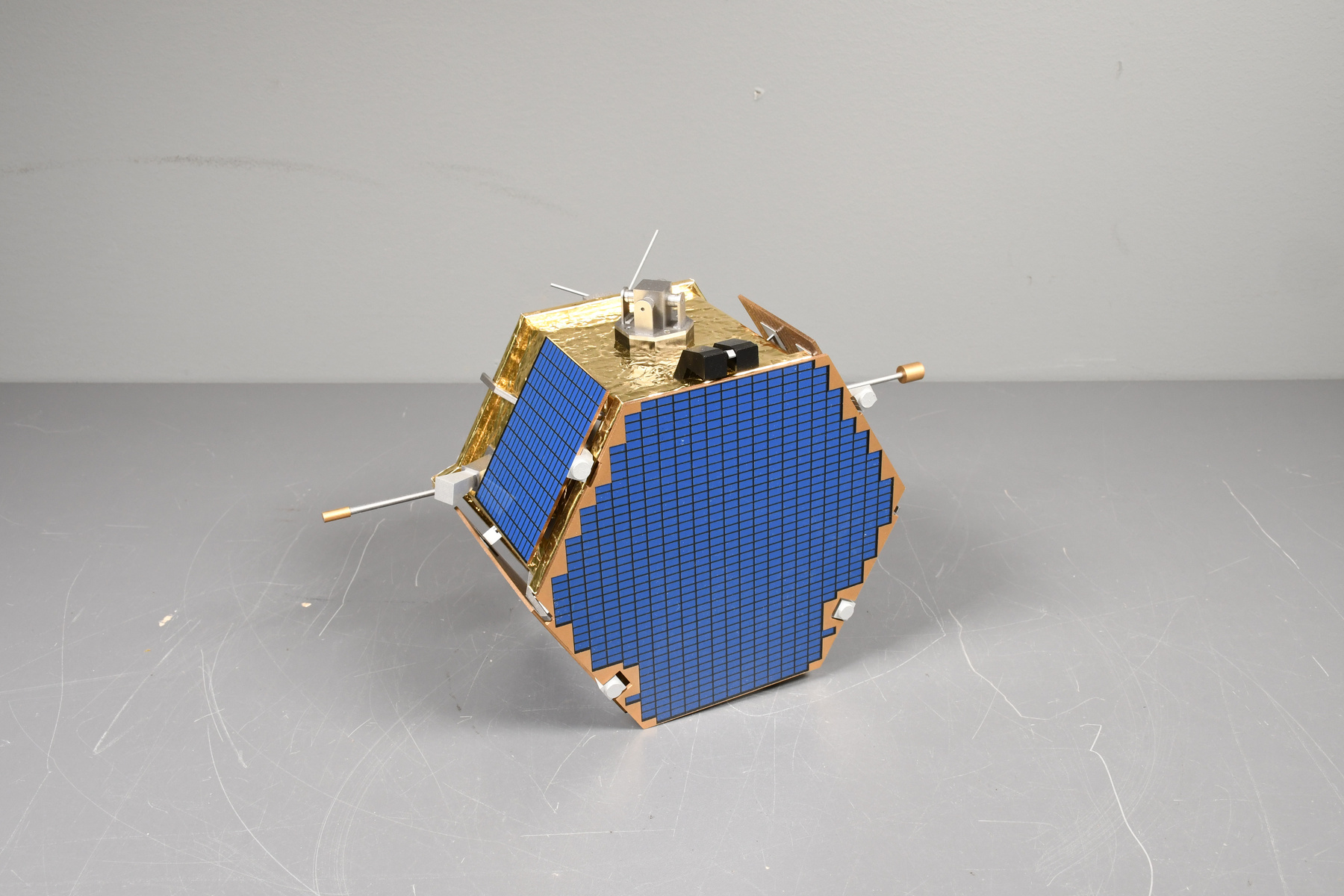
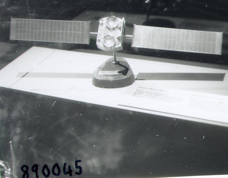
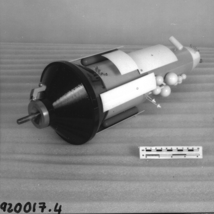
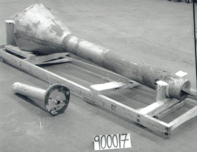
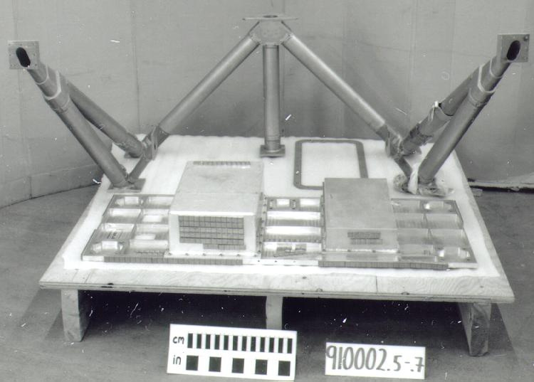
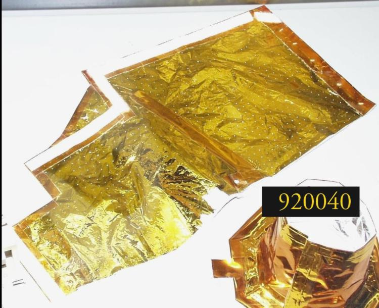
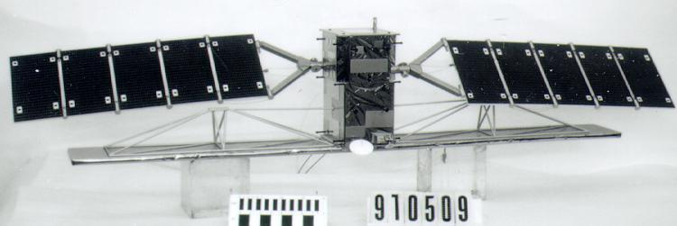
Satellite model
Use this image
Can I reuse this image without permission? Yes
Object images on the Ingenium Collection’s portal have the following Creative Commons license:
Copyright Ingenium / CC BY-NC-ND (Attribution-NonCommercial 4.0 International (CC BY-NC 4.0)
ATTRIBUTE THIS IMAGE
Ingenium,
1991.0509.001
Permalink:
Ingenium is releasing this image under the Creative Commons licensing framework, and encourages downloading and reuse for non-commercial purposes. Please acknowledge Ingenium and cite the artifact number.
DOWNLOAD IMAGEPURCHASE THIS IMAGE
This image is free for non-commercial use.
For commercial use, please consult our Reproduction Fees and contact us to purchase the image.
- OBJECT TYPE
- DISPLAY/1:10/REMOTE SENSING
- DATE
- 1990
- ARTIFACT NUMBER
- 1991.0509.001
- MANUFACTURER
- Advanced Scale Models Inc.
- MODEL
- RADARSAT 1
- LOCATION
- Richmond, Ontario, Canada
More Information
General Information
- Serial #
- N/A
- Part Number
- 1
- Total Parts
- 3
- AKA
- N/A
- Patents
- N/A
- General Description
- WOOD? BODY WITH METAL FOIL COVERING, METAL FRAME, PANELS, & PARTS; SYNTHETIC PARTS/
Dimensions
Note: These reflect the general size for storage and are not necessarily representative of the object's true dimensions.
- Length
- 150.5 cm
- Width
- 26.0 cm
- Height
- 34.5 cm
- Thickness
- N/A
- Weight
- N/A
- Diameter
- N/A
- Volume
- N/A
Lexicon
- Group
- Space Technology
- Category
- Earth observation
- Sub-Category
- N/A
Manufacturer
- AKA
- Advanced
- Country
- Canada
- State/Province
- Ontario
- City
- Richmond
Context
- Country
- Canada
- State/Province
- Ontario
- Period
- MODEL - CIRCA 1990+/ RADARSAT ITSELFWAS LAUNCHED NOV. 4, 1995 & HAS EXPECTED LIFESPAN OF FIVE YEARS.
- Canada
-
MODEL OF CANADIAN DESIGNED & BUILT SATELLITE. RADARSAT WAS DEVELOPED UNDER CANADIAN SPACE AGENCY (CSA) WITH PROVINCIAL GOVERNMENTS & NUMBER OF CANADIAN FIRMS; SPAR AEROSPACE WAS PRIME CONTRACTOR & BUILDER OF SAR (SYNTHETIC APERTURE RADAR). IN SPRING OF 1997, RADARSAT WAS USED TO MONITOR MANITOBA FLOOD. - Function
-
SMALL SCALE DISPLAY MODEL OF RADARSAT SPACECRAFT. THIS SATELLITE CONTAINS ADVANCED RADAR SENSOR USING MICROWAVES FOR PURPOSES OF EARTH OBSERVATION & REMOTE SENSING, INCLUDING MAPPING OF EARTH'S GEOLOGICAL FEATURES & NATURAL RESOURCES, ENVIRONMENTAL MONITORING ETC. - Technical
-
RADARSAT CONTAINS WORLD'S FIRST OPERATIONAL SPACEBORNE SAR. SAR IS MICROWAVE INSTRUMENT WHICH SENDS PULSED SIGNALS TO EARTH & PROCESSES RECEIVED REFLECTED PULSES, ENABLING RADARSAT TO "SEE" THROUGH CLOUDS, HAZE, SMOKE, & DARKNESS, & OBTAIN HIGH QUALITY IMAGES OF THE EARTH IN ALL WEATHER AT ANY TIME. IN AUTUMN OF 1997, RADARSAT WAS USED FOR ANTARCTIC MAPPING MISSION (SEE REF. 1). - Area Notes
-
Unknown
Details
- Markings
- NONE
- Missing
- APPEARS COMPLETE
- Finish
- GOLD FOIL COVERING; GREY PAINTED FRAME; METALLIC PANELS & PARTS; GOLD PAINTED PARTS; WHITE SYNTHETIC
- Decoration
- N/A
CITE THIS OBJECT
If you choose to share our information about this collection object, please cite:
Advanced Scale Models Inc., Satellite model, circa 1990, Artifact no. 1991.0509, Ingenium – Canada’s Museums of Science and Innovation, http://collections.ingeniumcanada.org/en/id/1991.0509.001/
FEEDBACK
Submit a question or comment about this artifact.
More Like This
