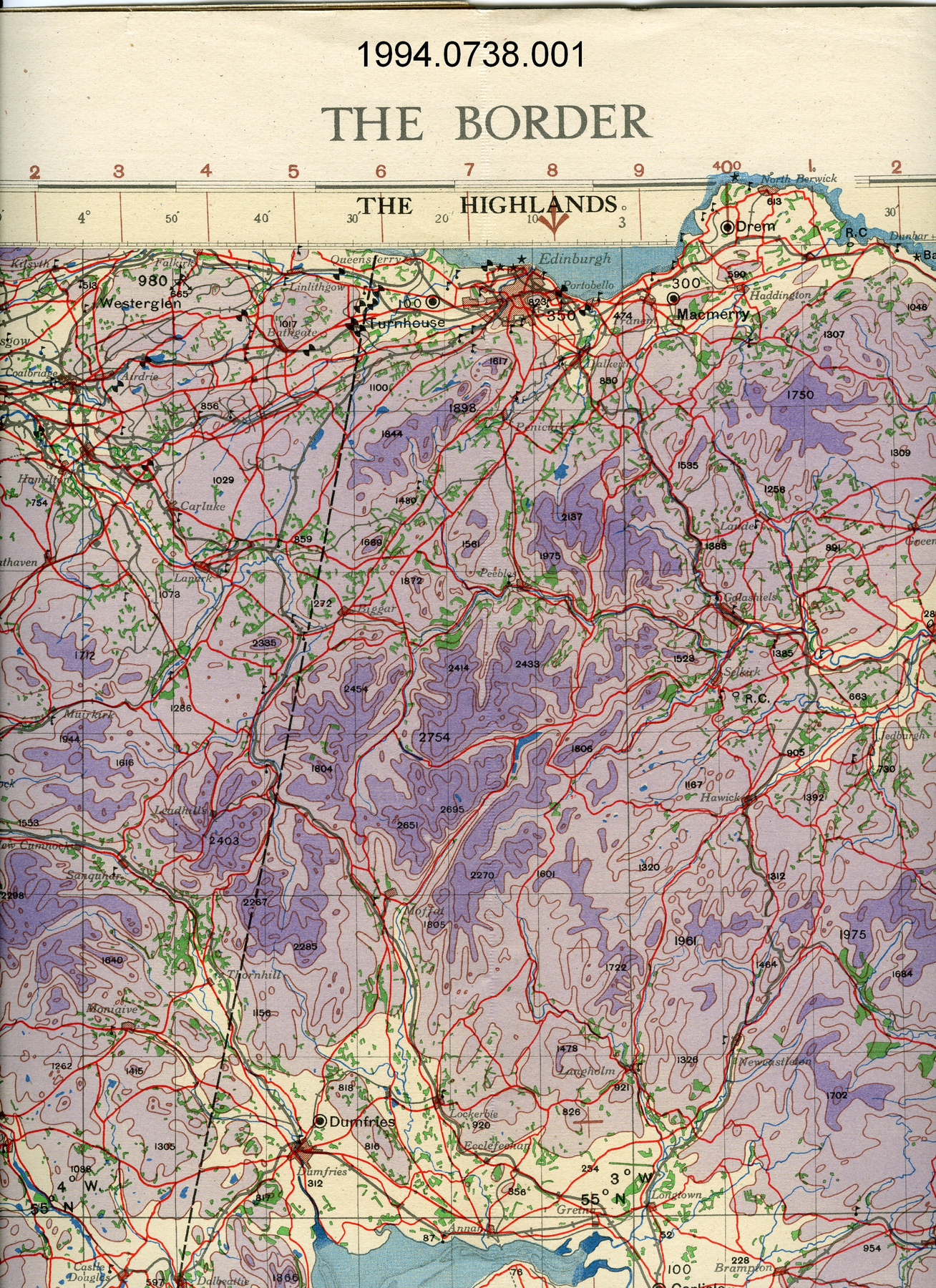
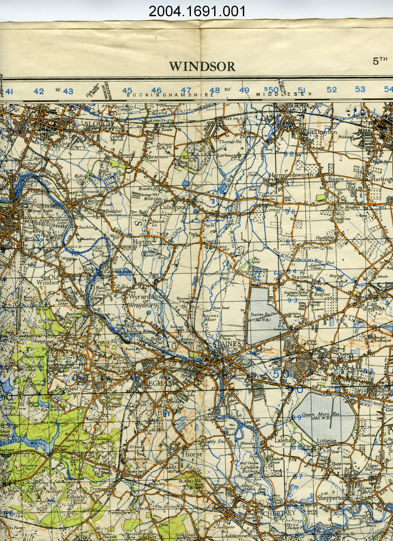
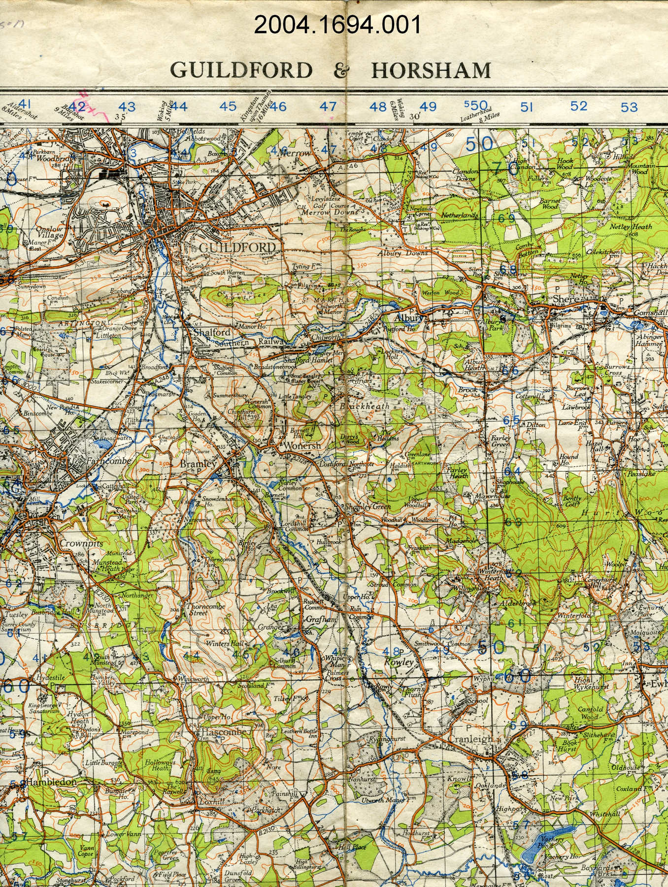
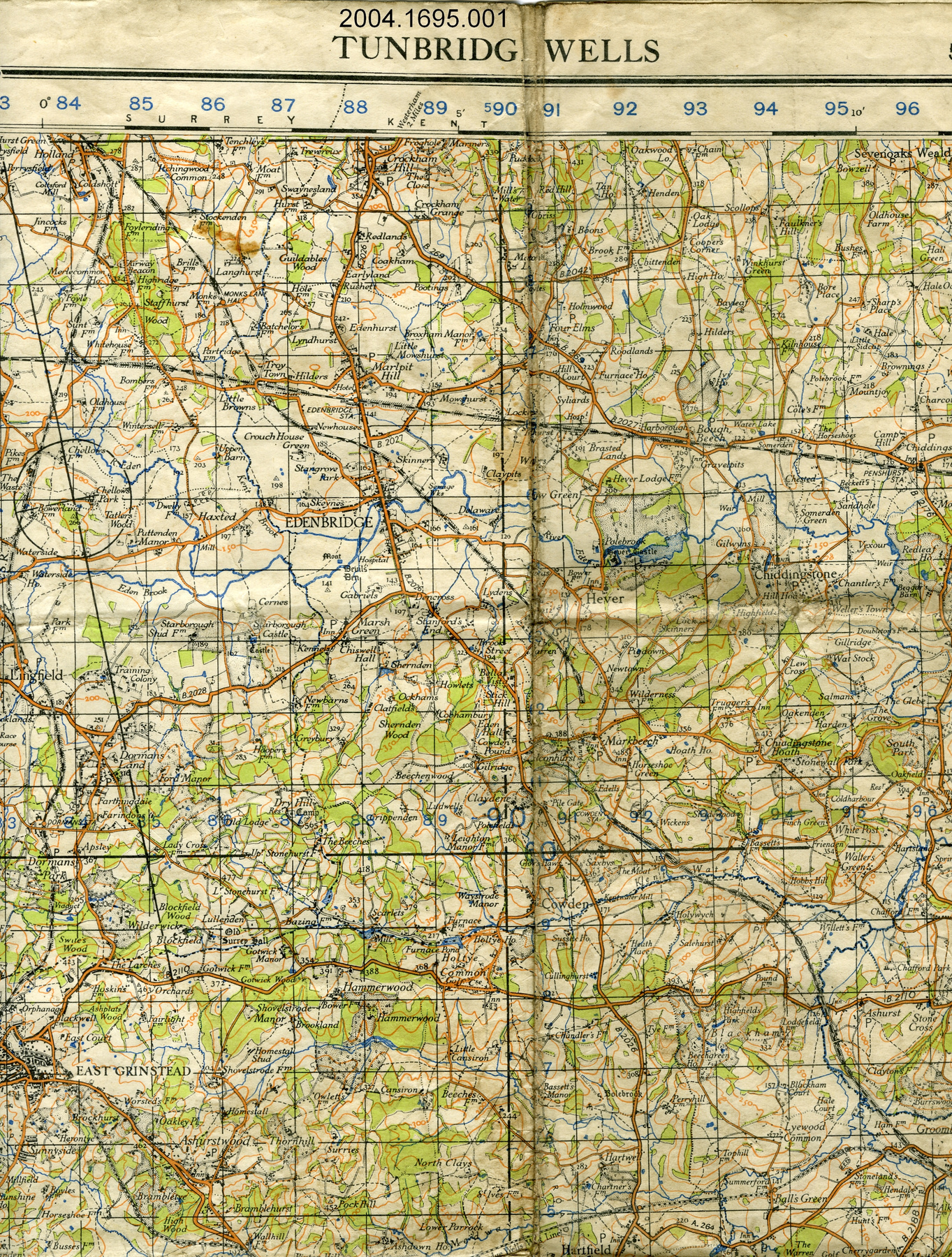
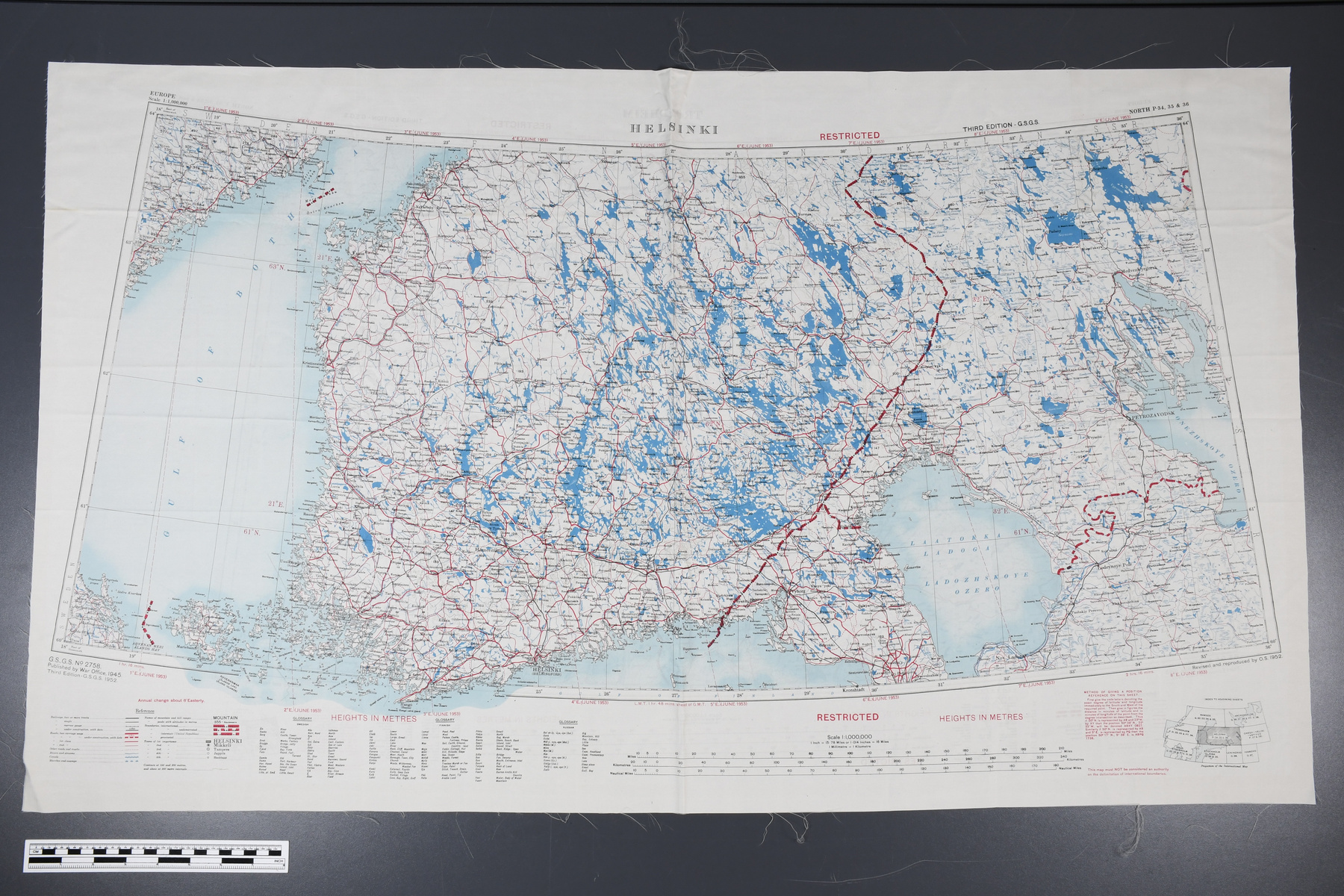
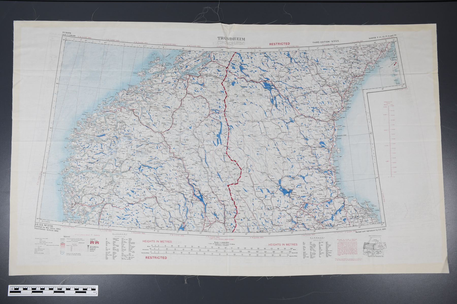
Map
Use this image
Can I reuse this image without permission? Yes
Object images on the Ingenium Collection’s portal have the following Creative Commons license:
Copyright Ingenium / CC BY-NC-ND (Attribution-NonCommercial 4.0 International (CC BY-NC 4.0)
ATTRIBUTE THIS IMAGE
Ingenium,
1995.1963.001
Permalink:
Ingenium is releasing this image under the Creative Commons licensing framework, and encourages downloading and reuse for non-commercial purposes. Please acknowledge Ingenium and cite the artifact number.
DOWNLOAD IMAGEPURCHASE THIS IMAGE
This image is free for non-commercial use.
For commercial use, please consult our Reproduction Fees and contact us to purchase the image.
- OBJECT TYPE
- silk
- DATE
- 1952
- ARTIFACT NUMBER
- 1995.1963.001
- MANUFACTURER
- Ordnance Survey of Great Britain
- MODEL
- Unknown
- LOCATION
- England
More Information
General Information
- Serial #
- N/A
- Part Number
- 1
- Total Parts
- 1
- AKA
- Fabric map
- Patents
- N/A
- General Description
- Fabric; dye or paint.
Dimensions
Note: These reflect the general size for storage and are not necessarily representative of the object's true dimensions.
- Length
- 105.0 cm
- Width
- 62.0 cm
- Height
- N/A
- Thickness
- N/A
- Weight
- N/A
- Diameter
- N/A
- Volume
- N/A
Lexicon
- Group
- Aviation
- Category
- Navigation instruments & equipment
- Sub-Category
- N/A
Manufacturer
- AKA
- Ordnance
- Country
- England
- State/Province
- Unknown
- City
- Unknown
Context
- Country
- Norway
- State/Province
- Unknown
- Period
- After 1952.
- Canada
-
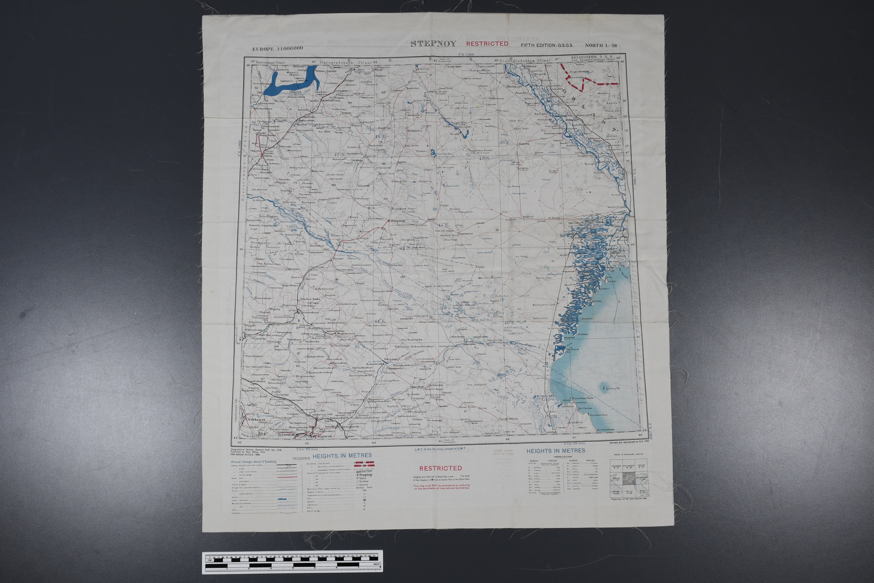
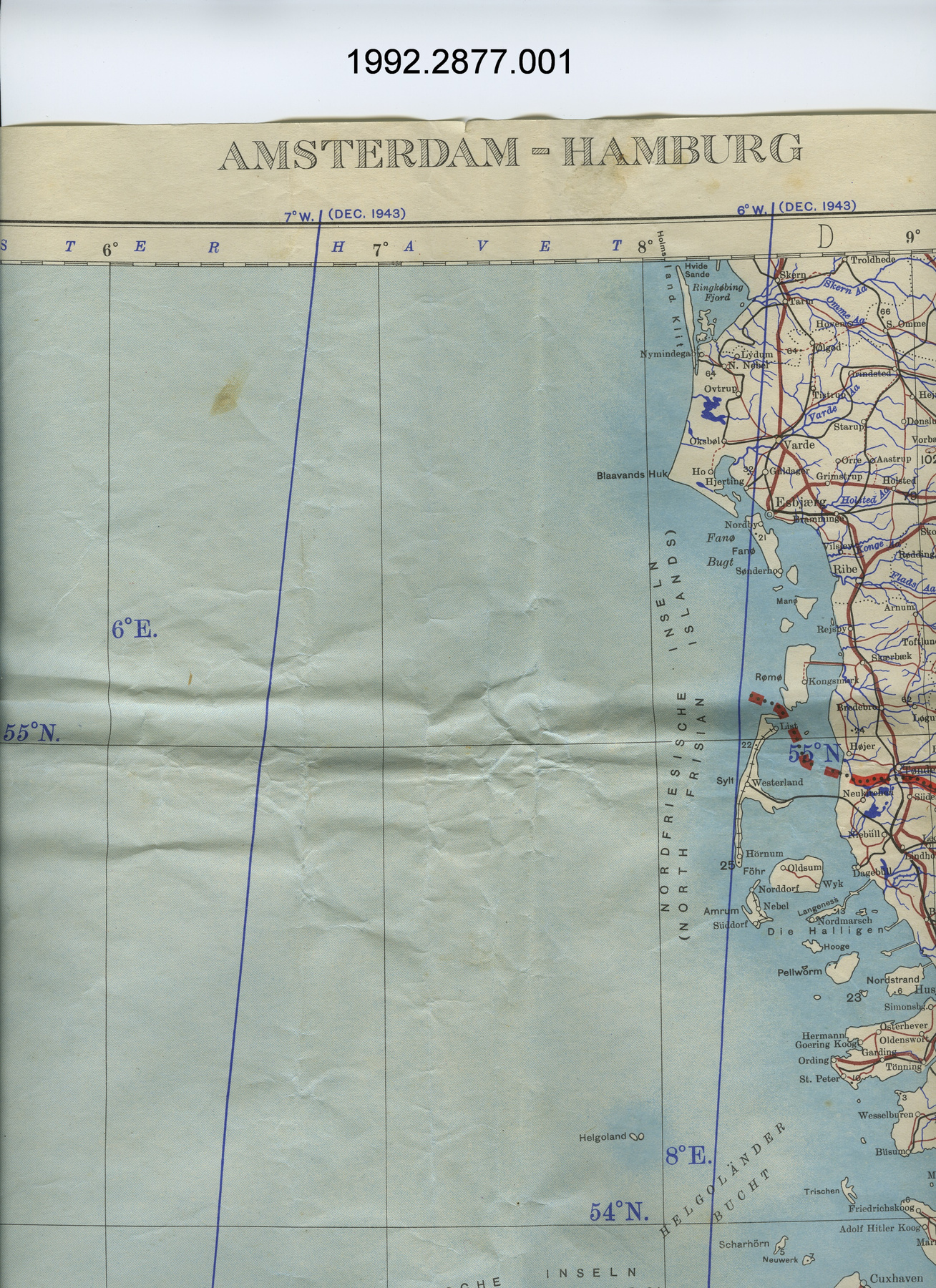
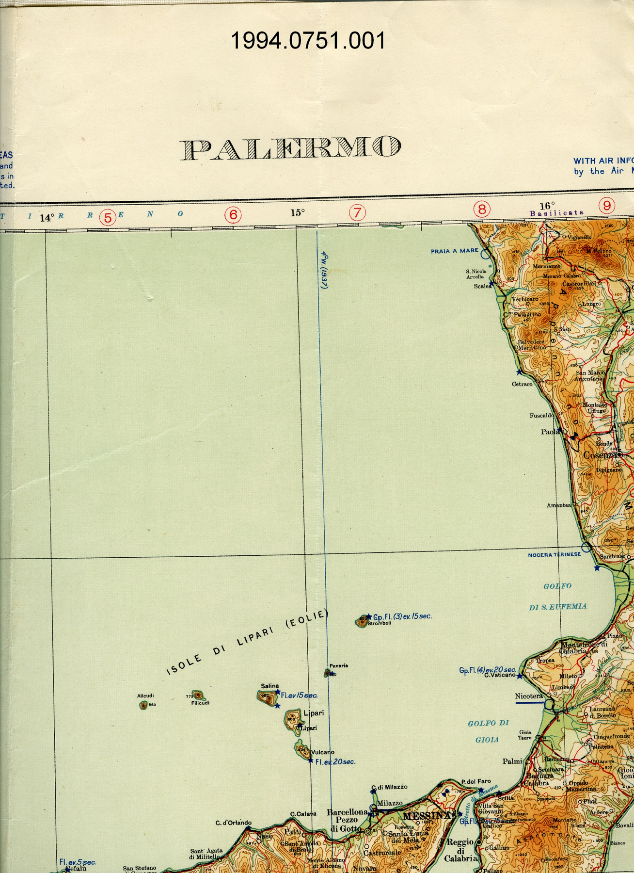
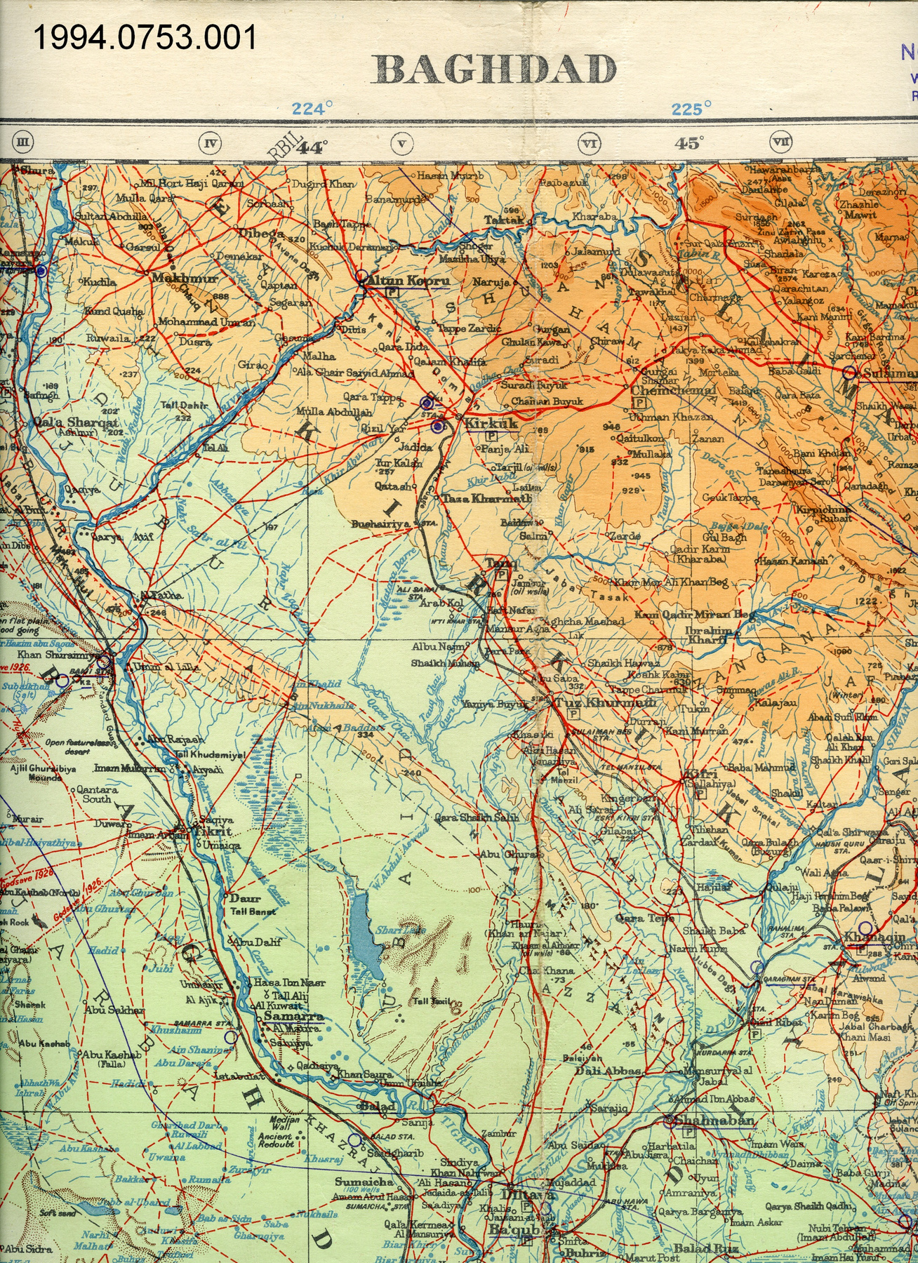
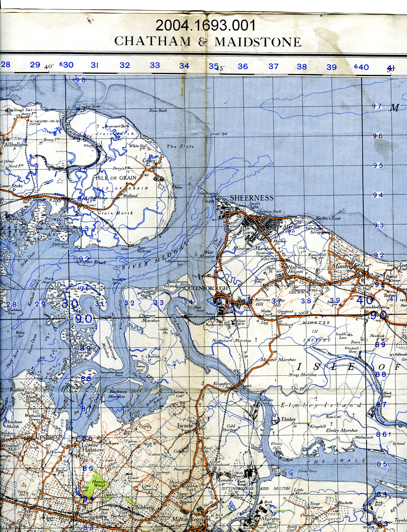
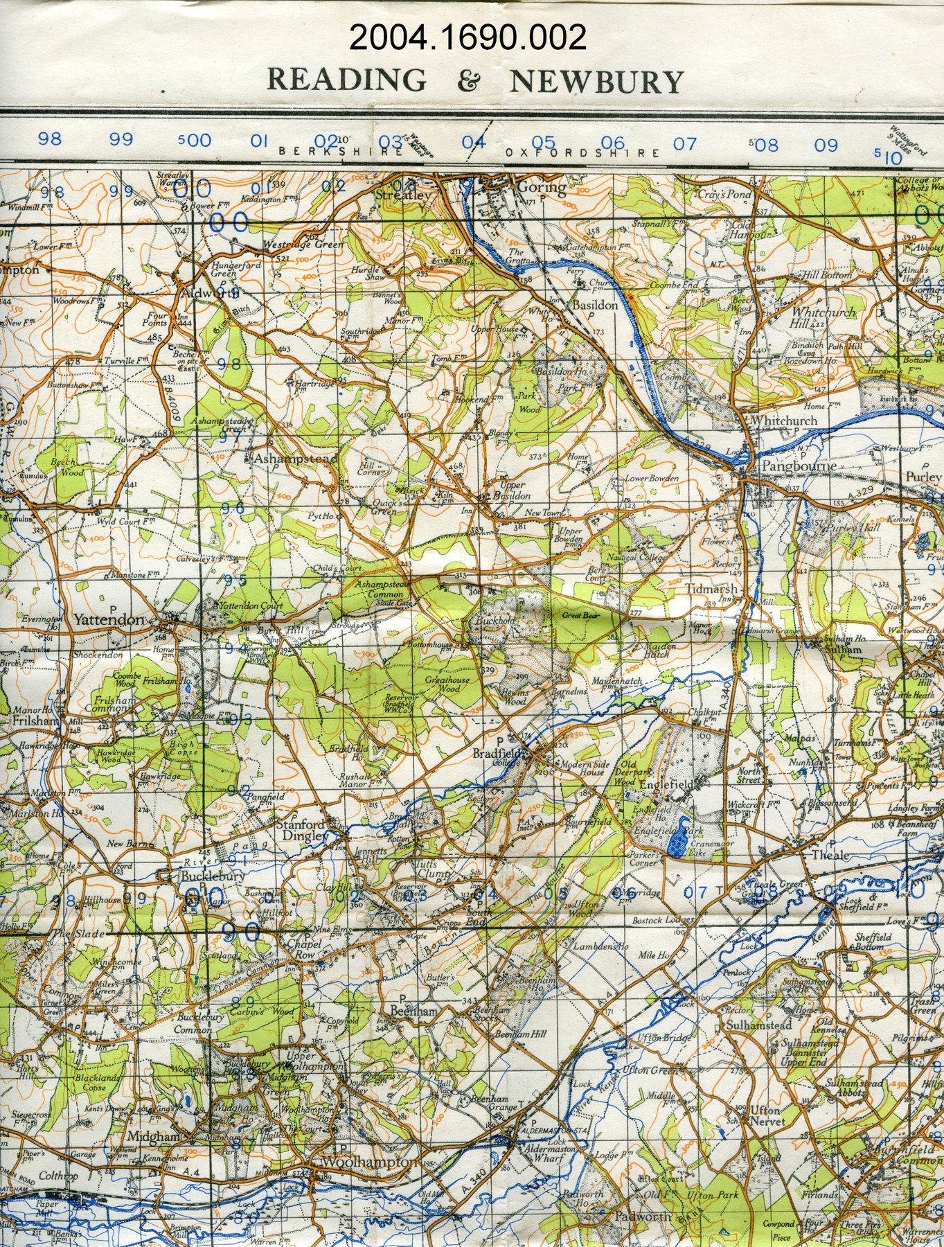
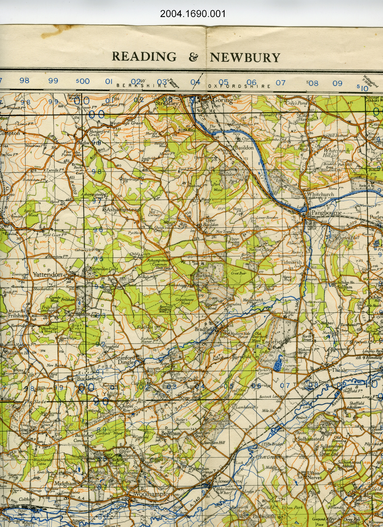
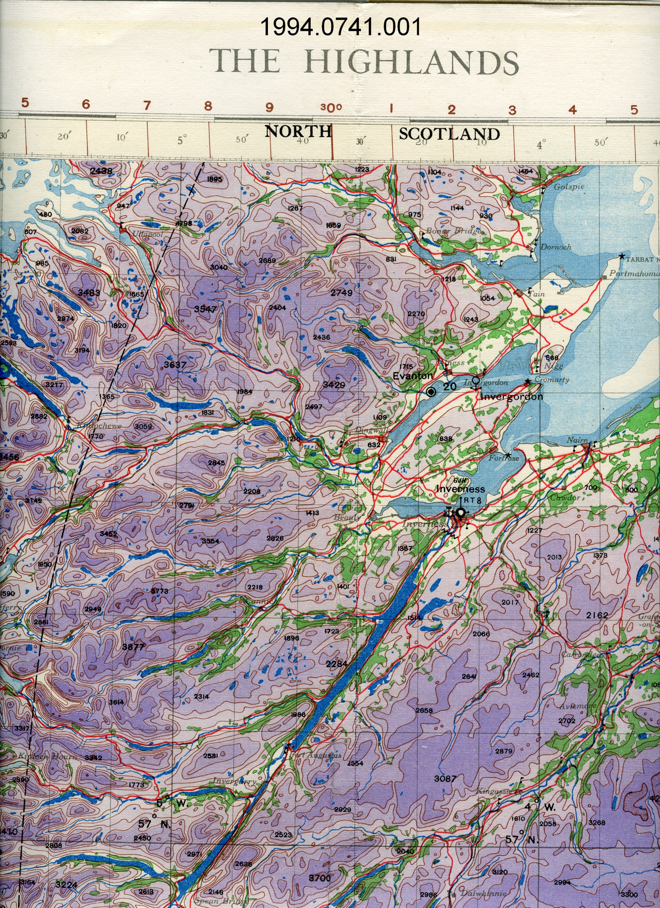
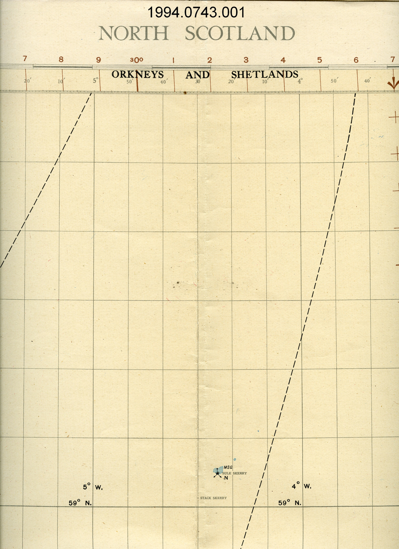
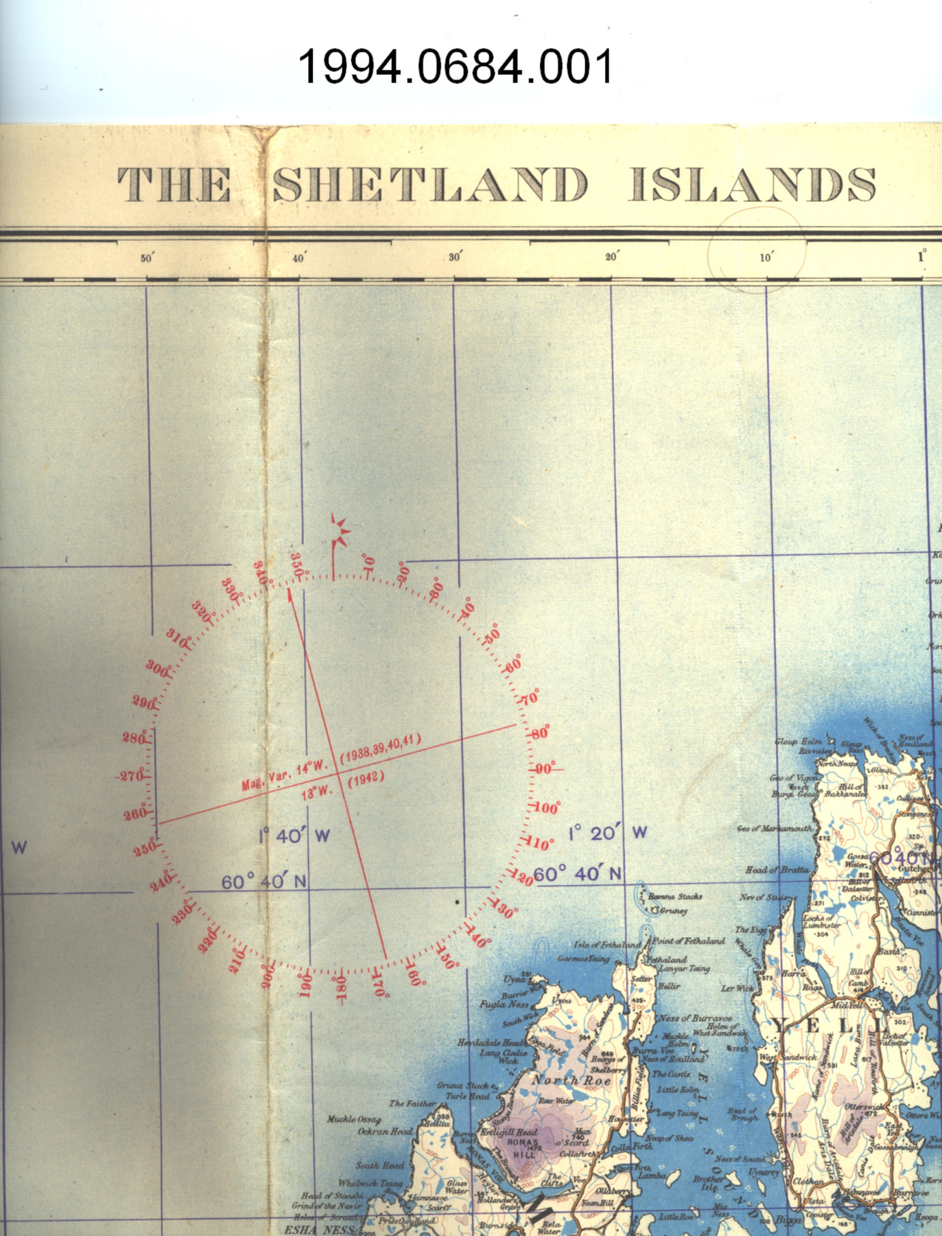
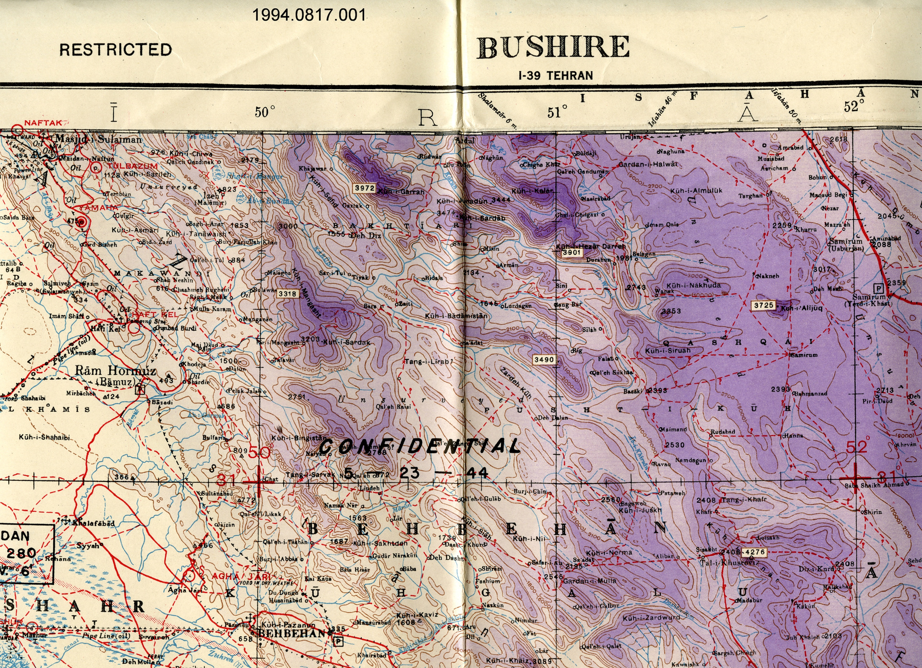
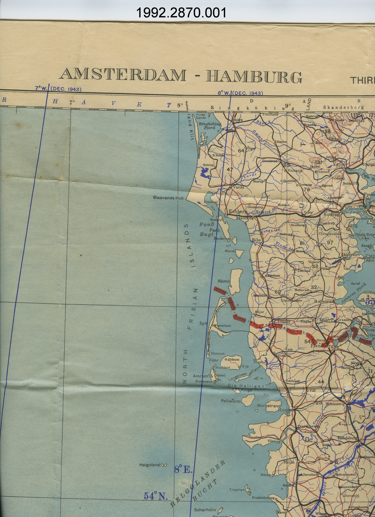
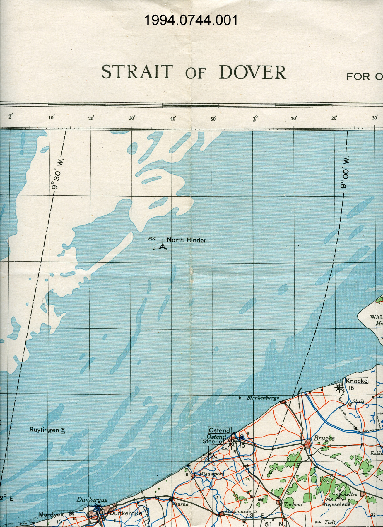
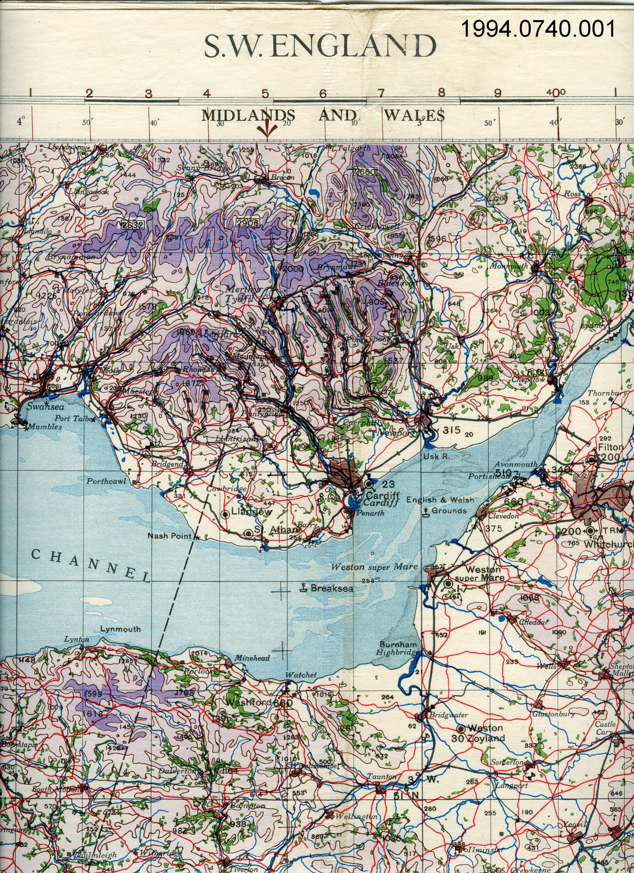
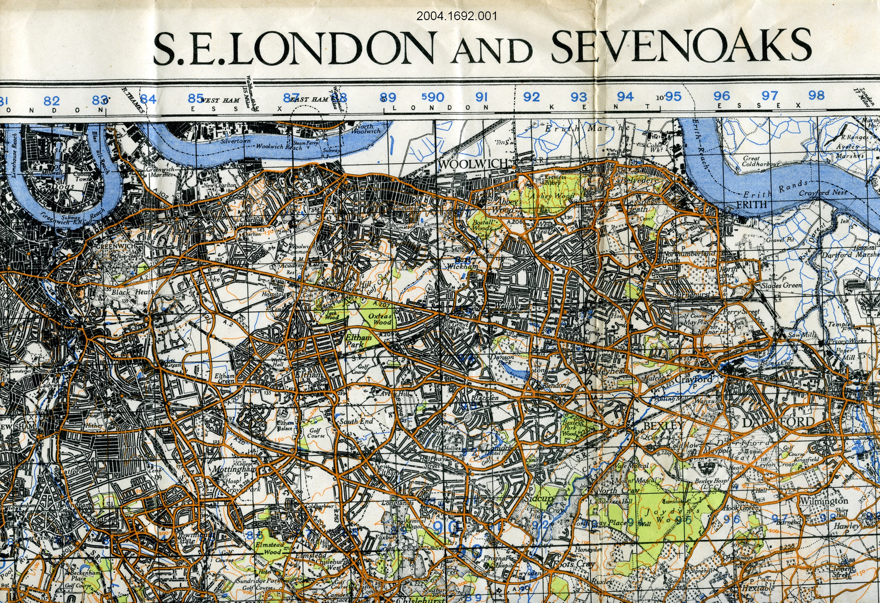
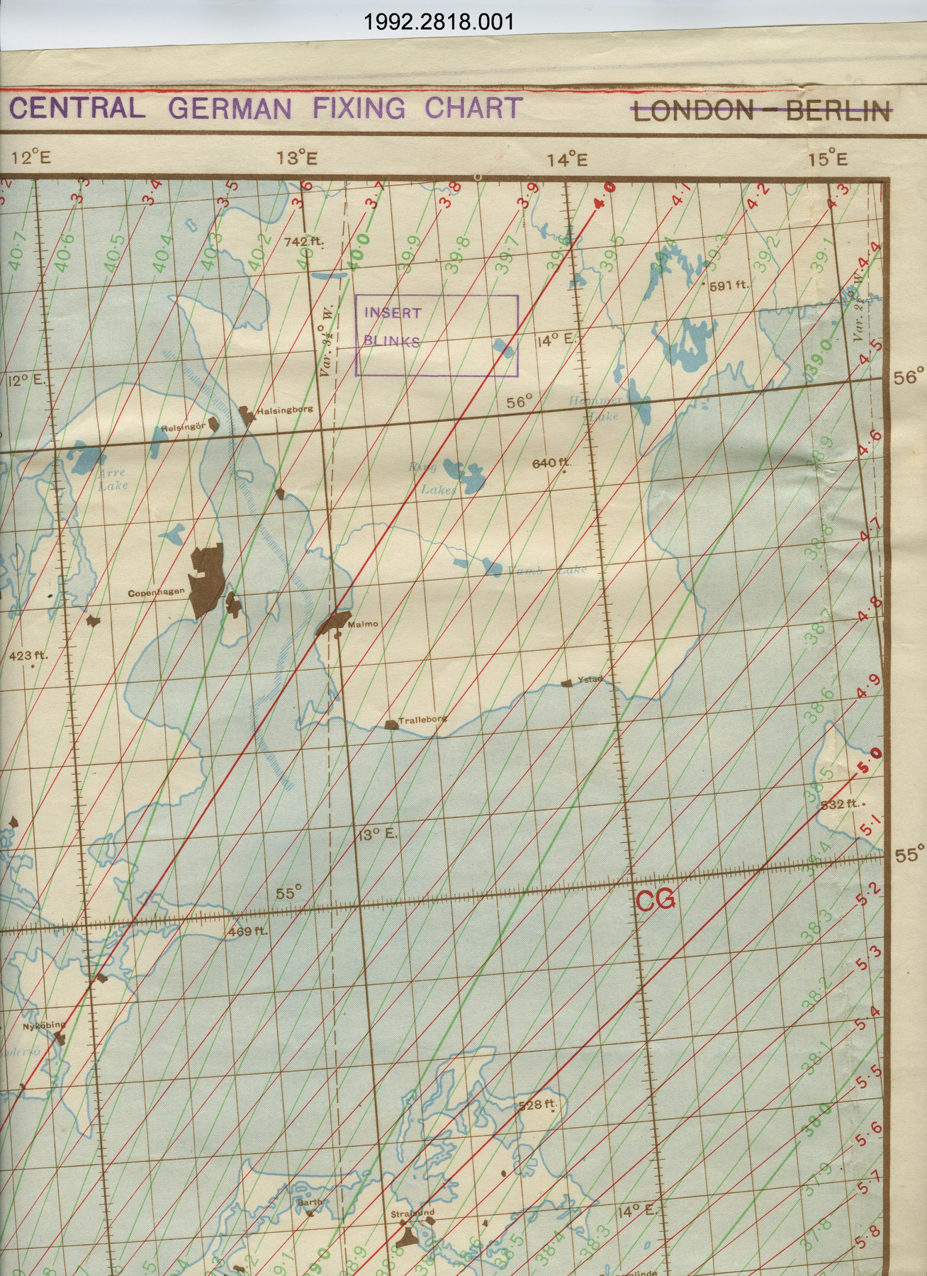
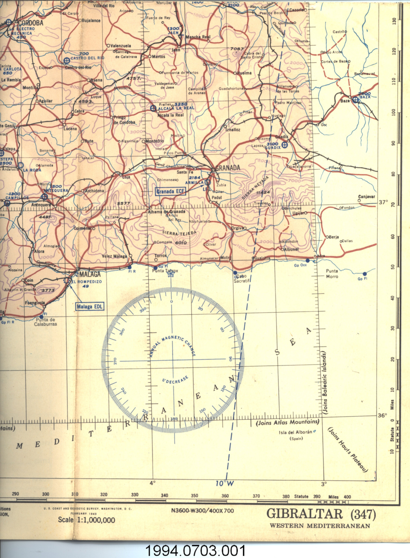
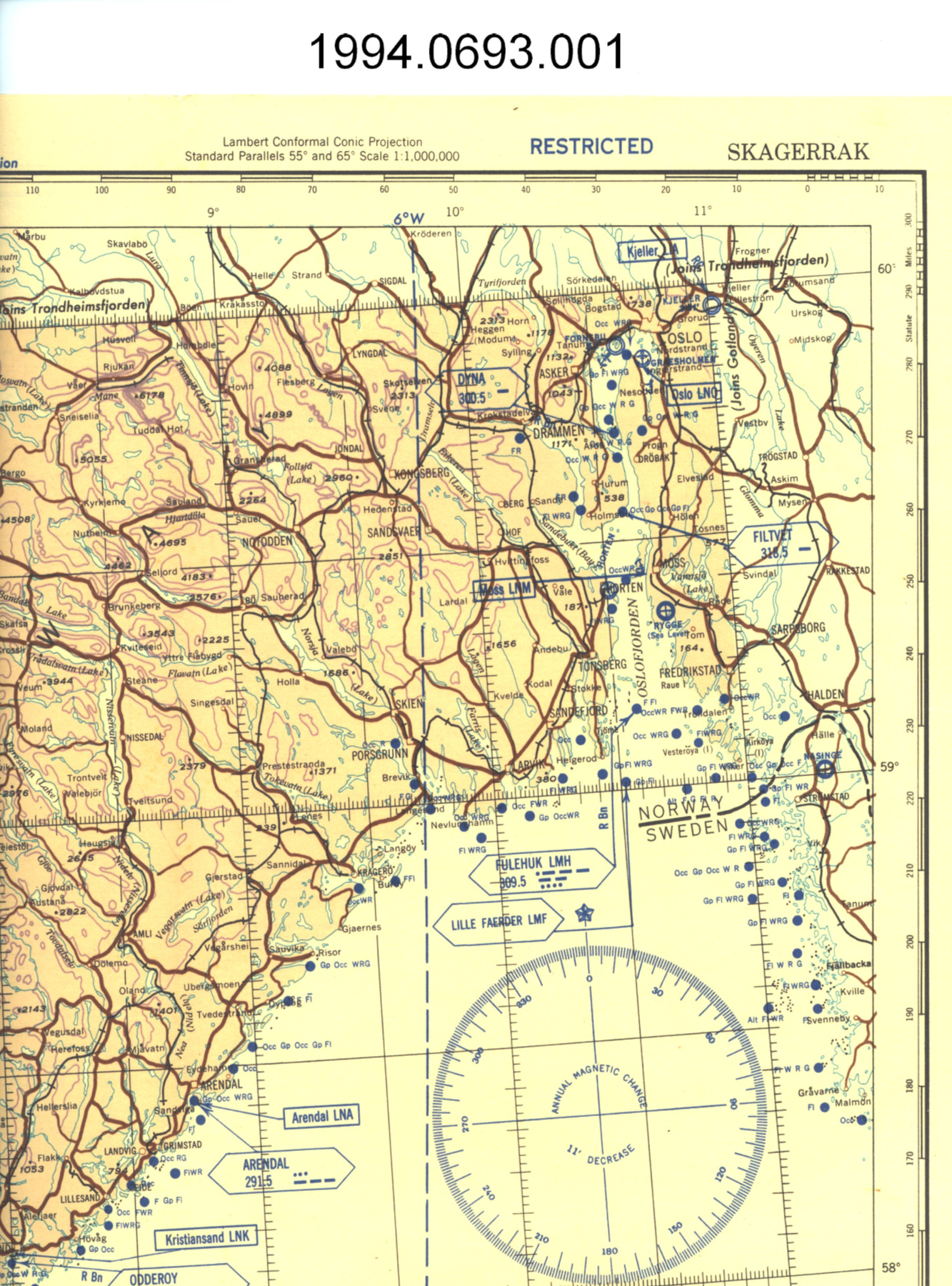
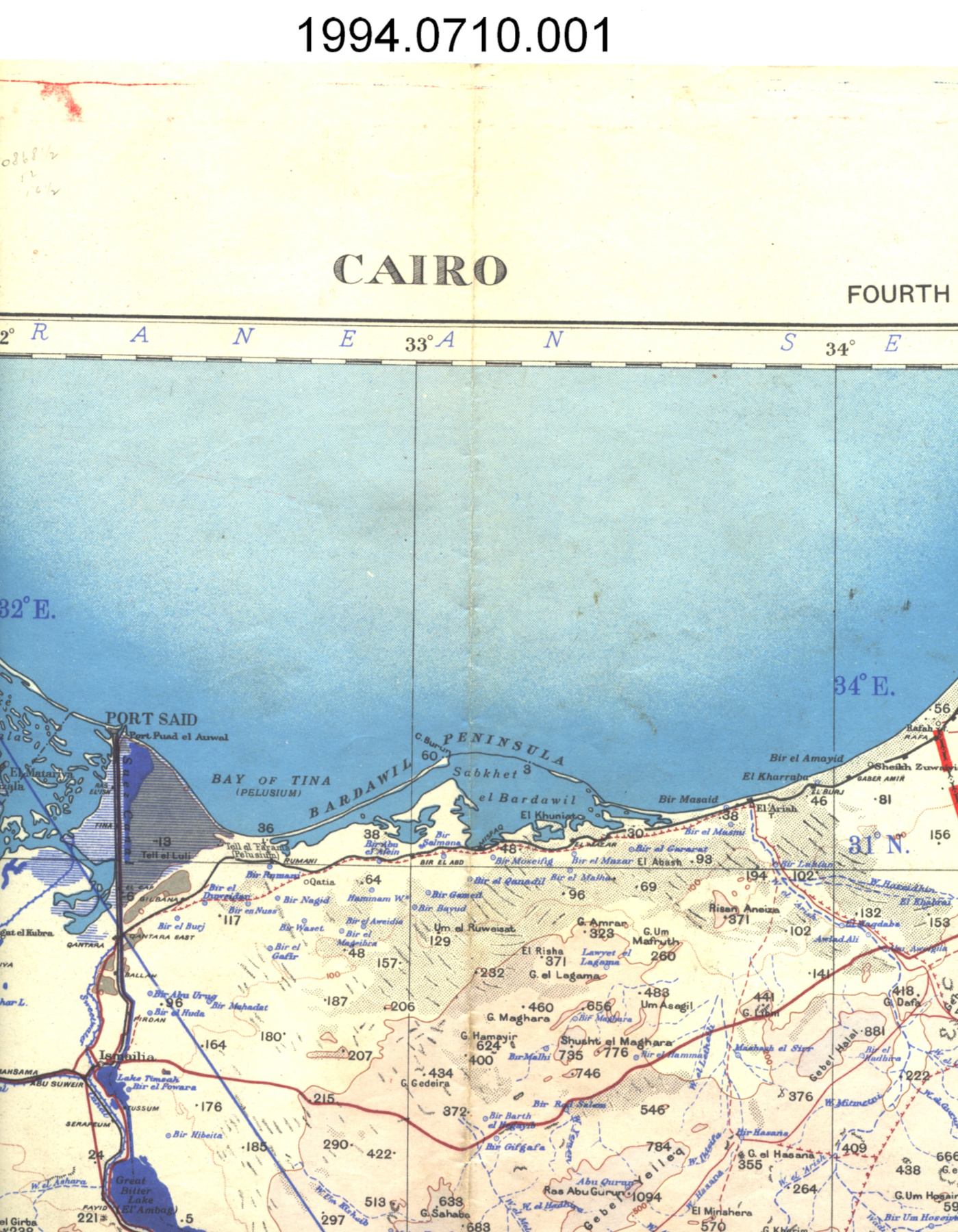
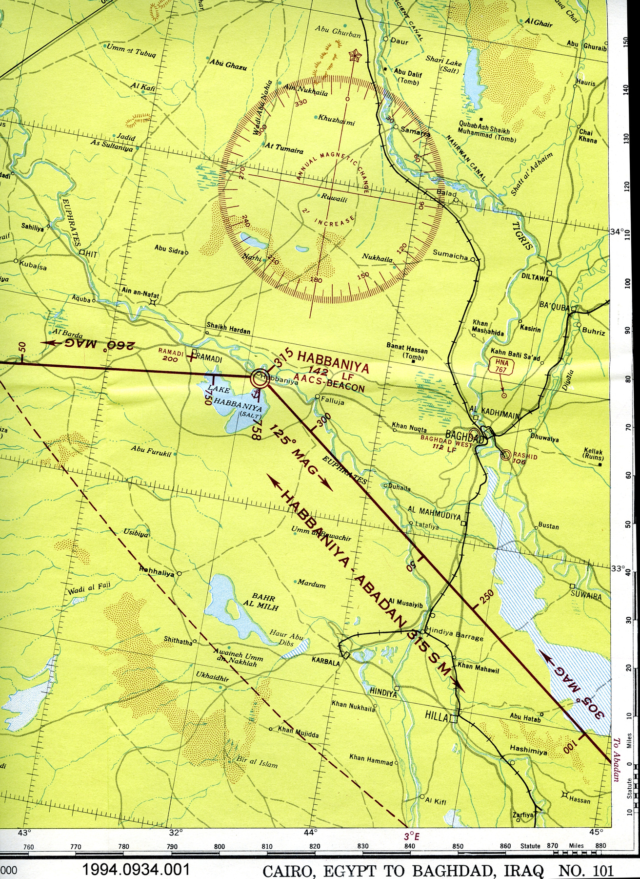
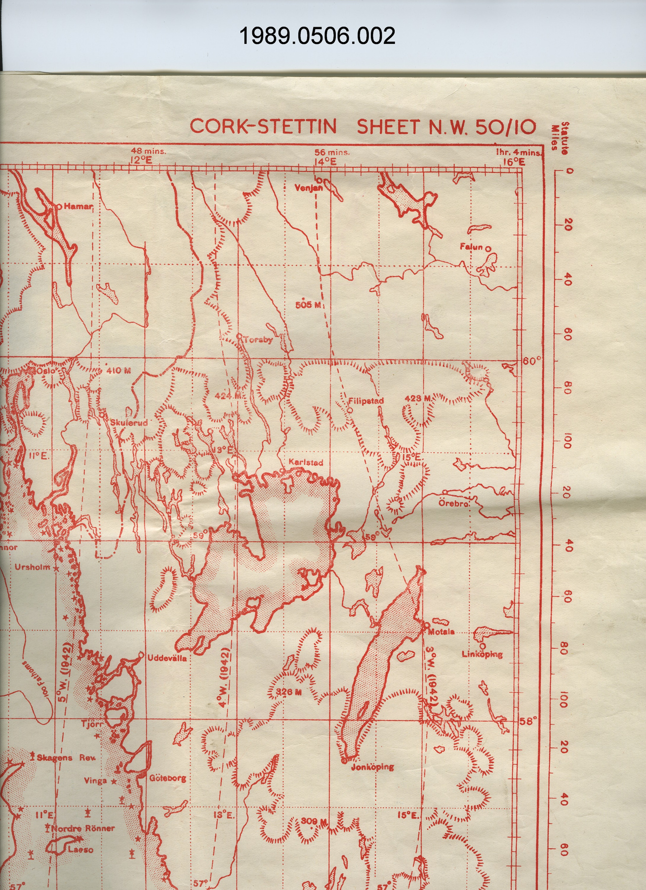
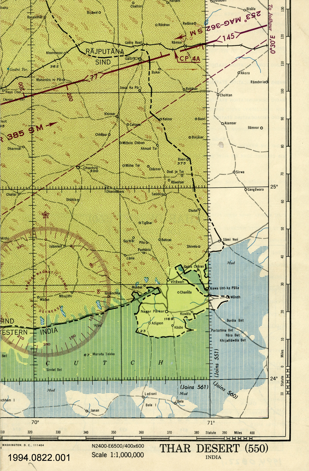
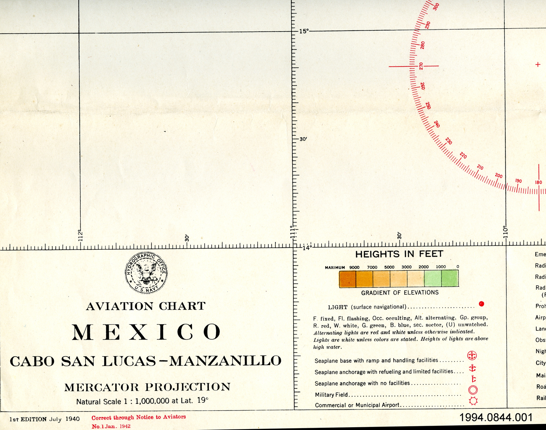
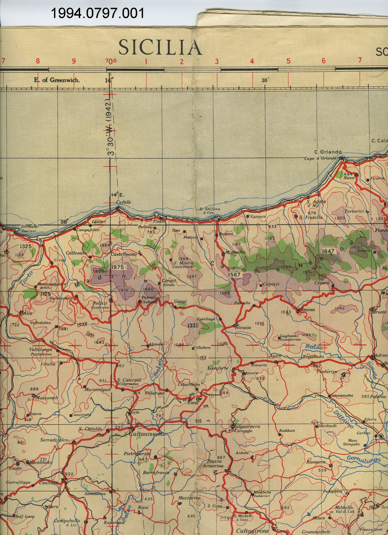
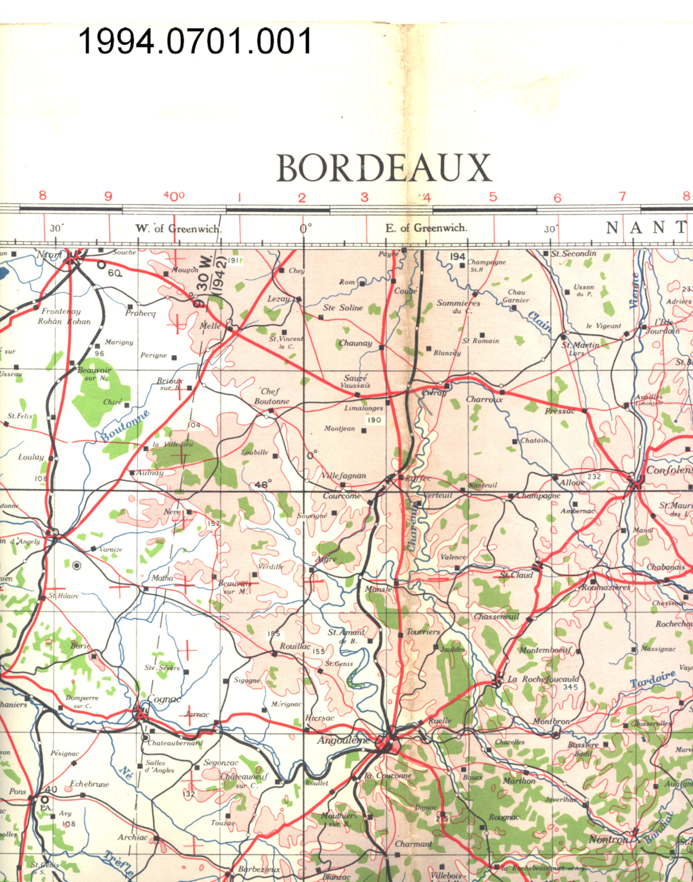
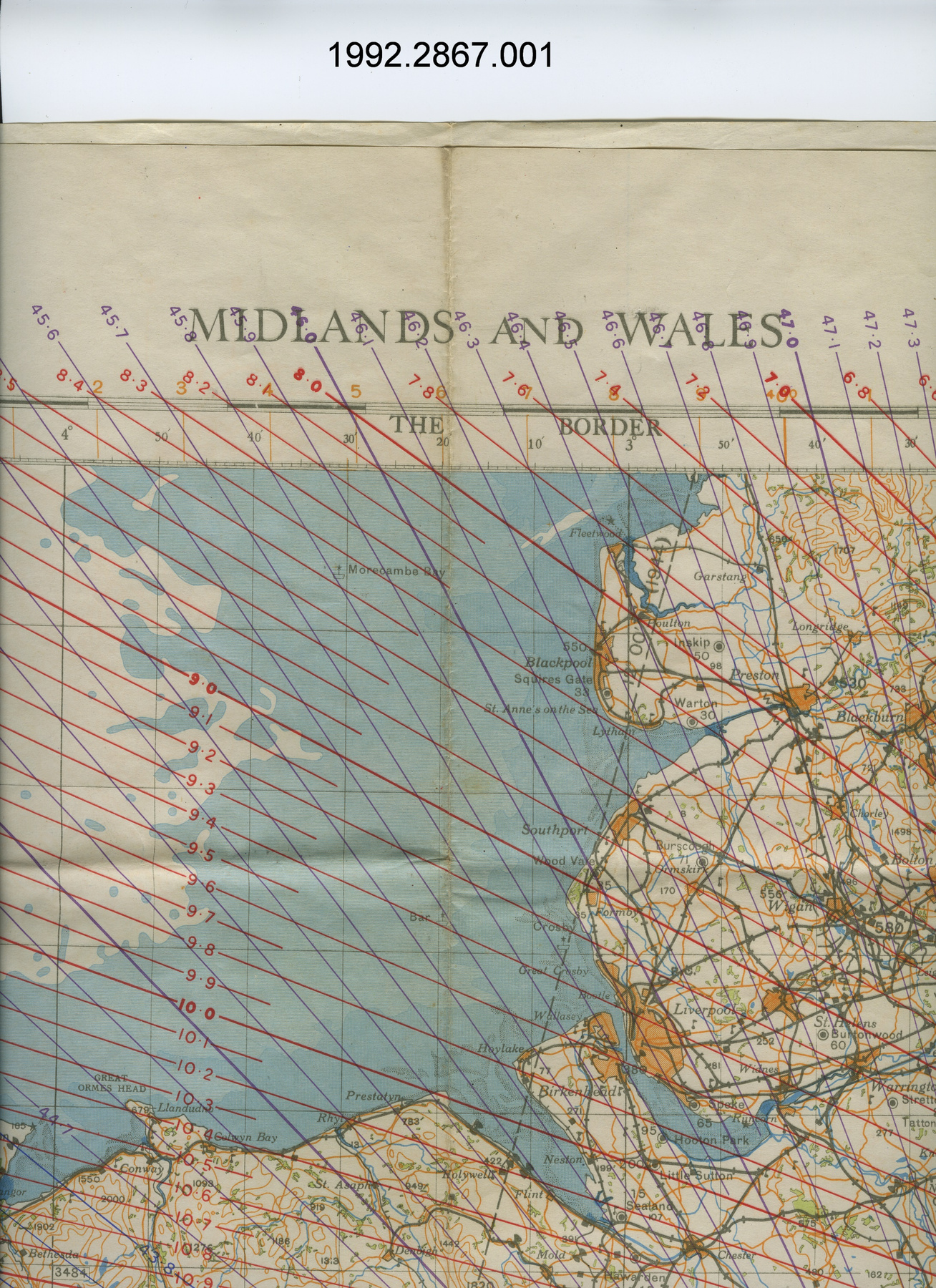
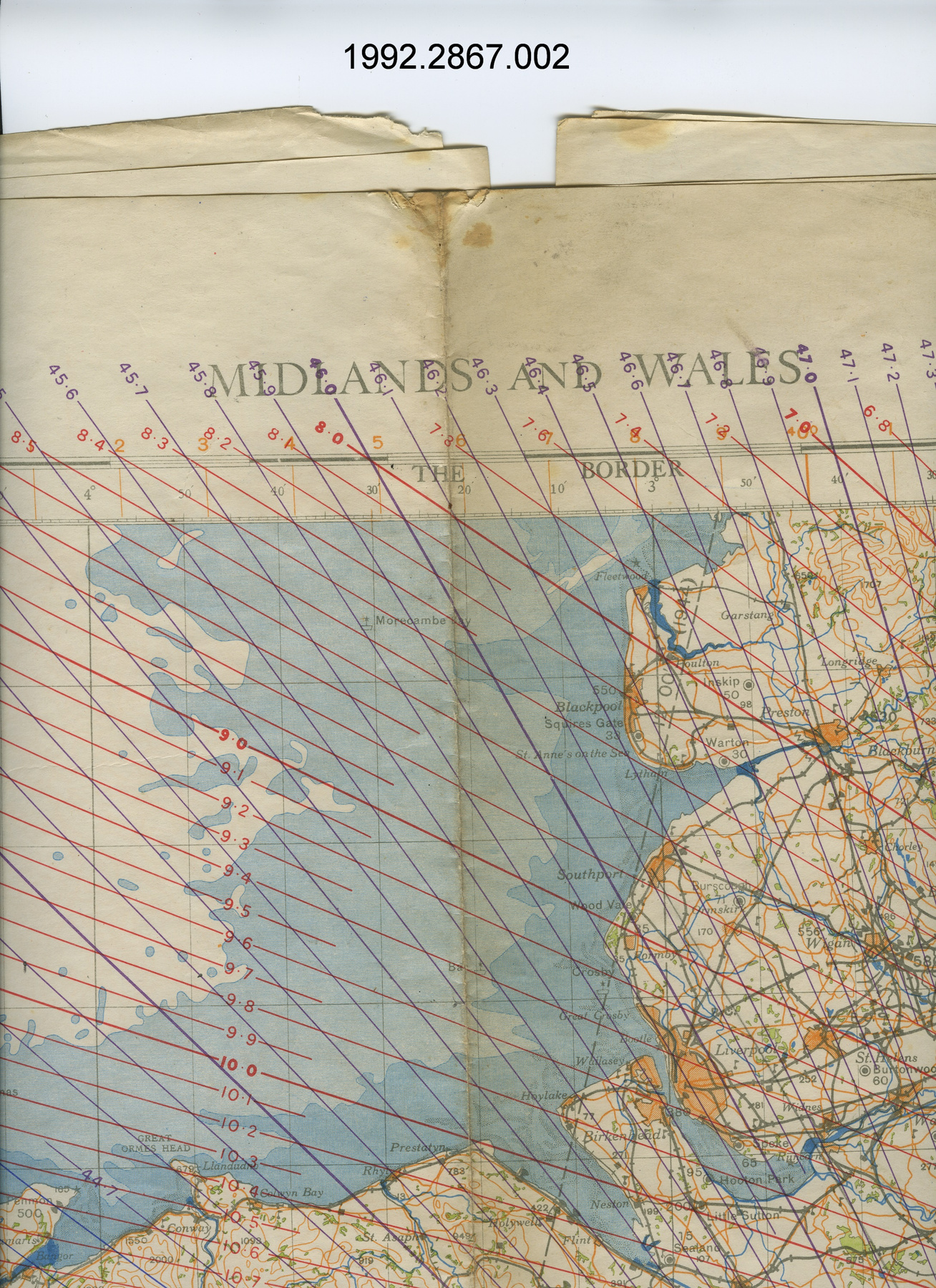
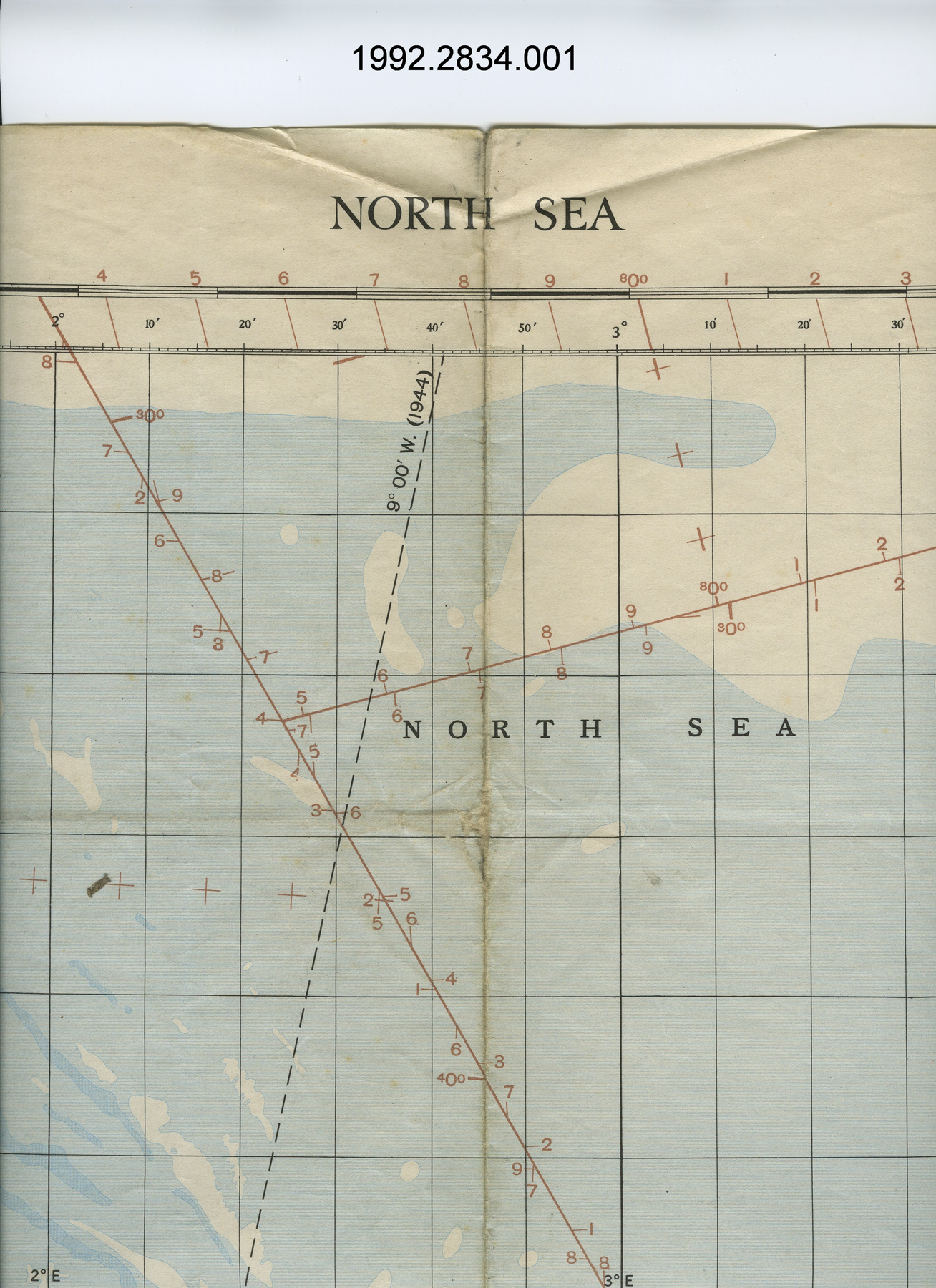
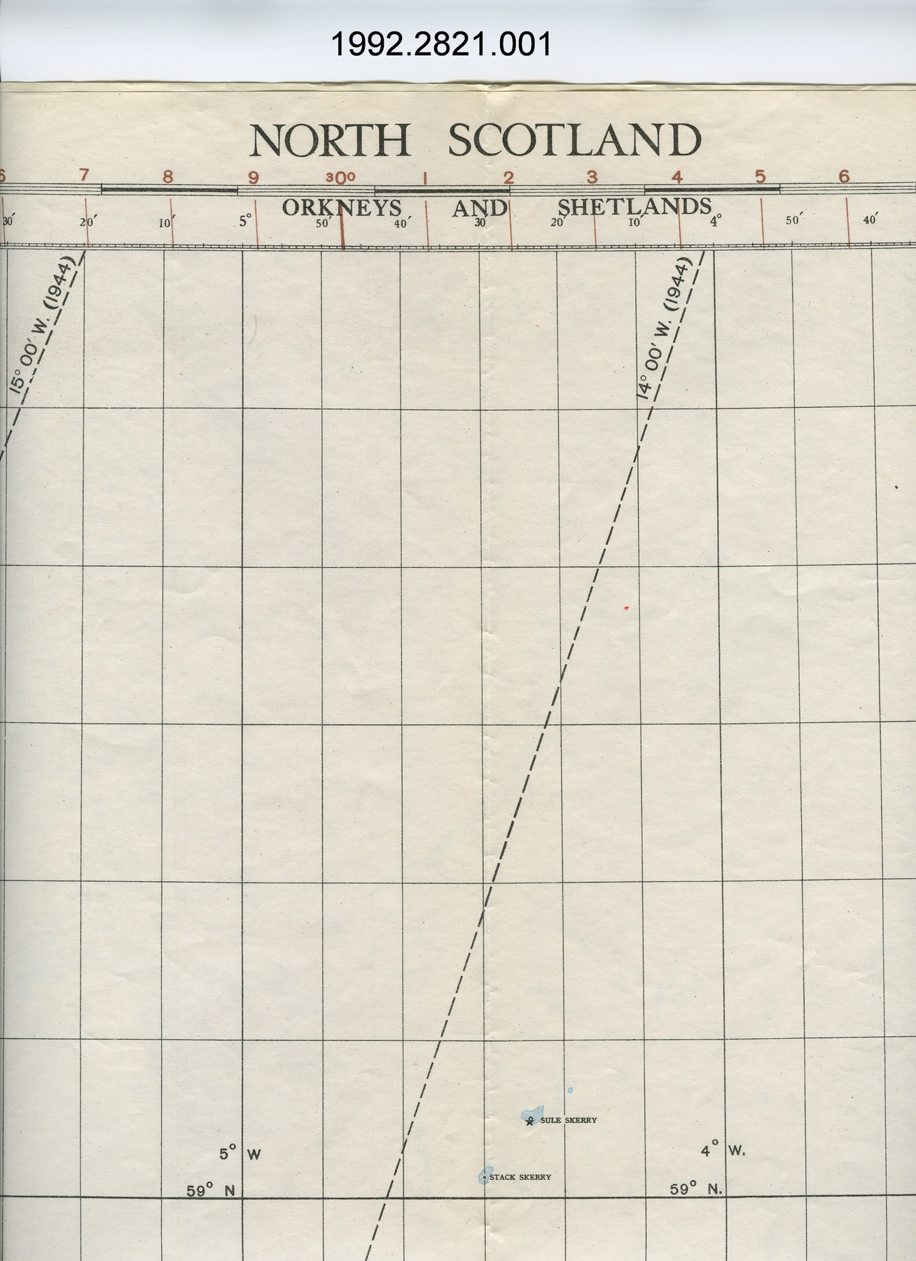
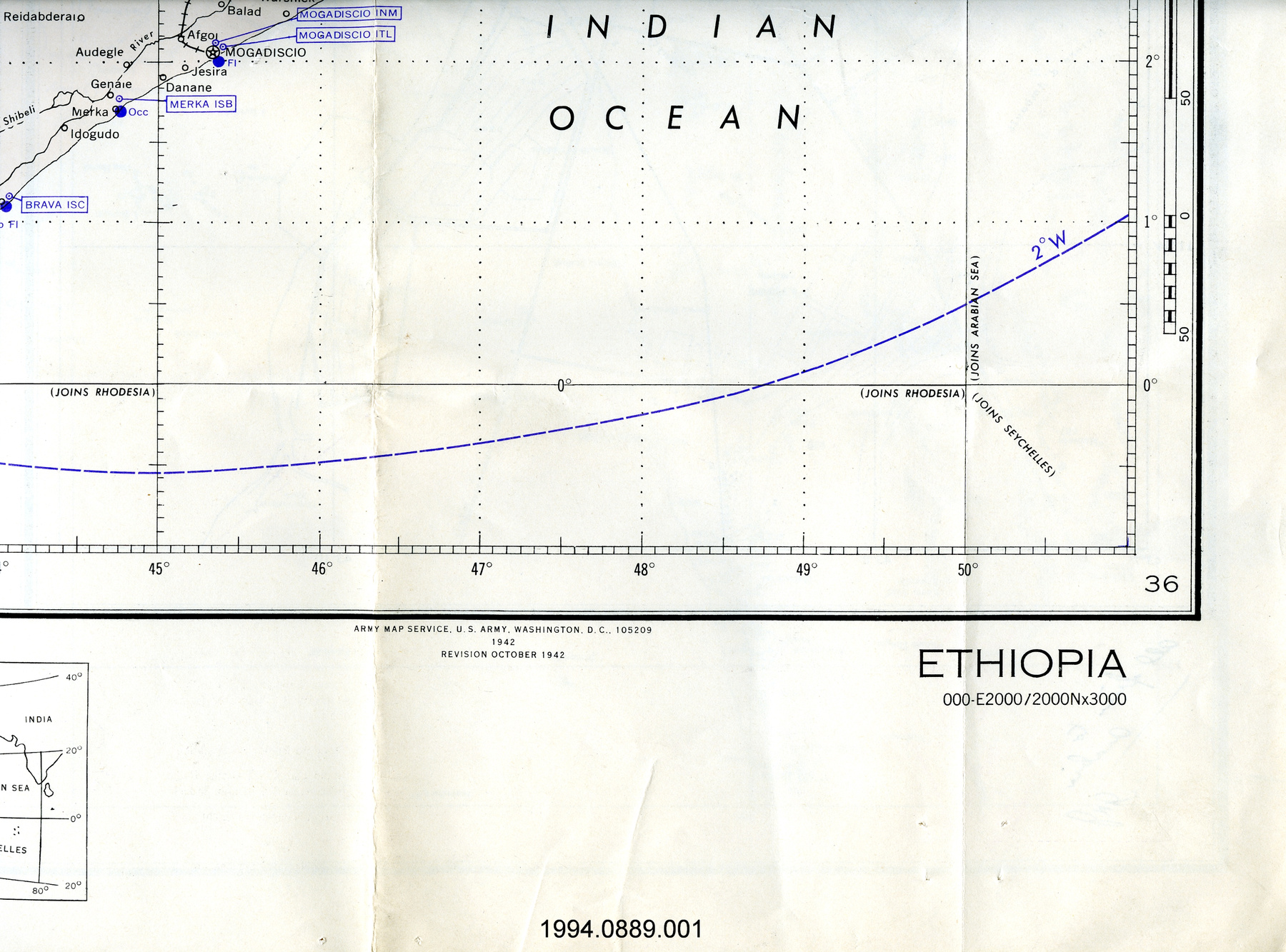
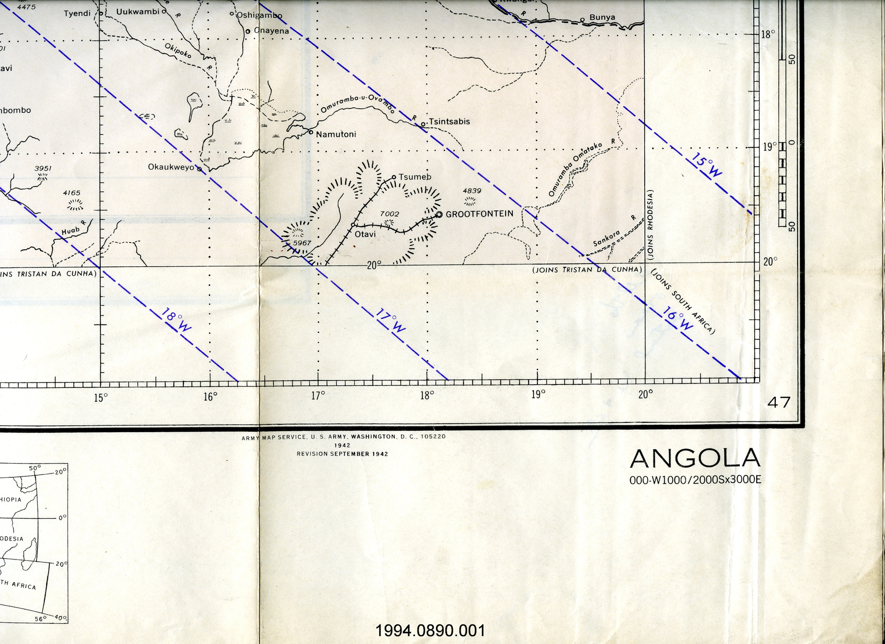
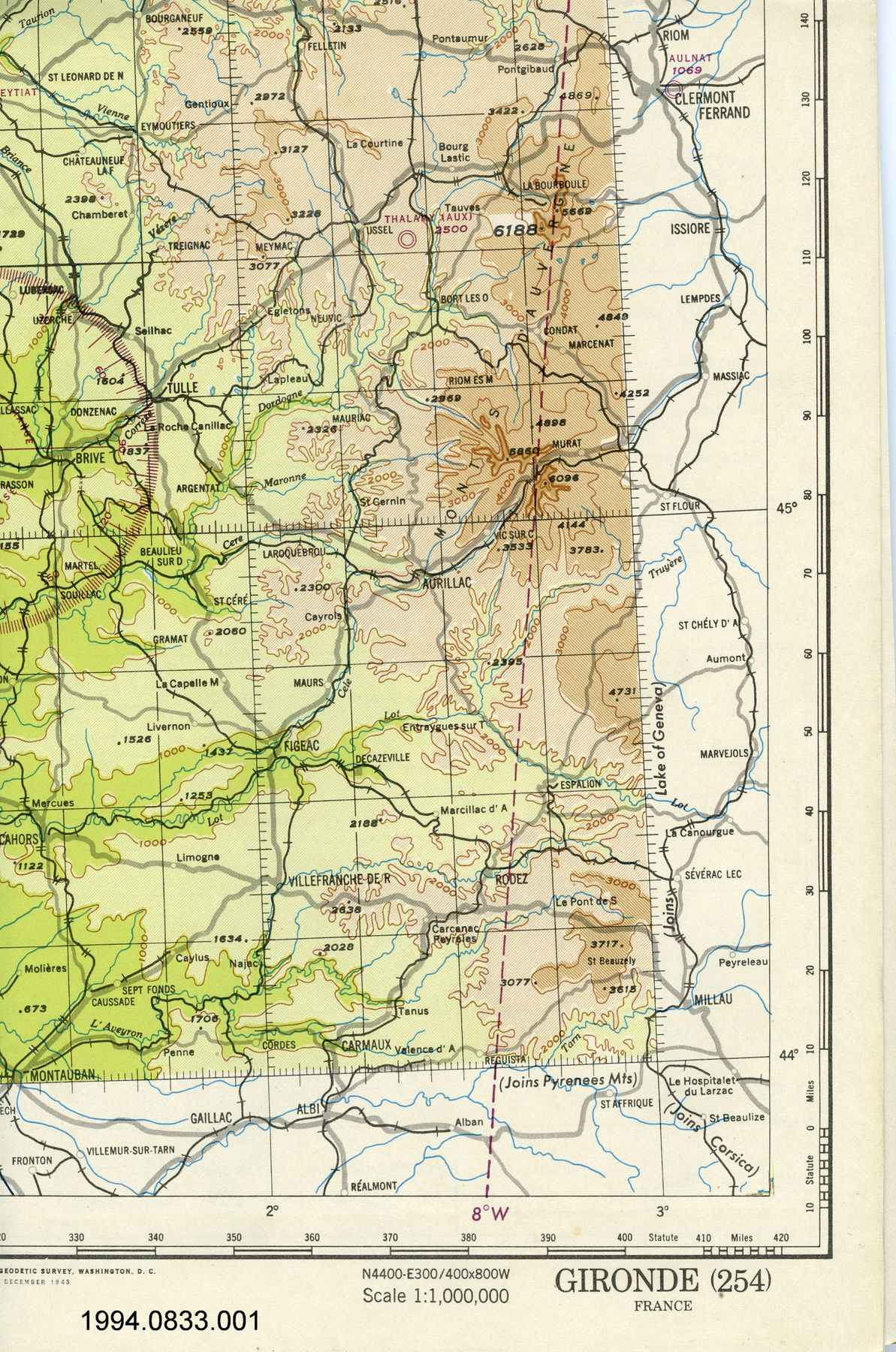
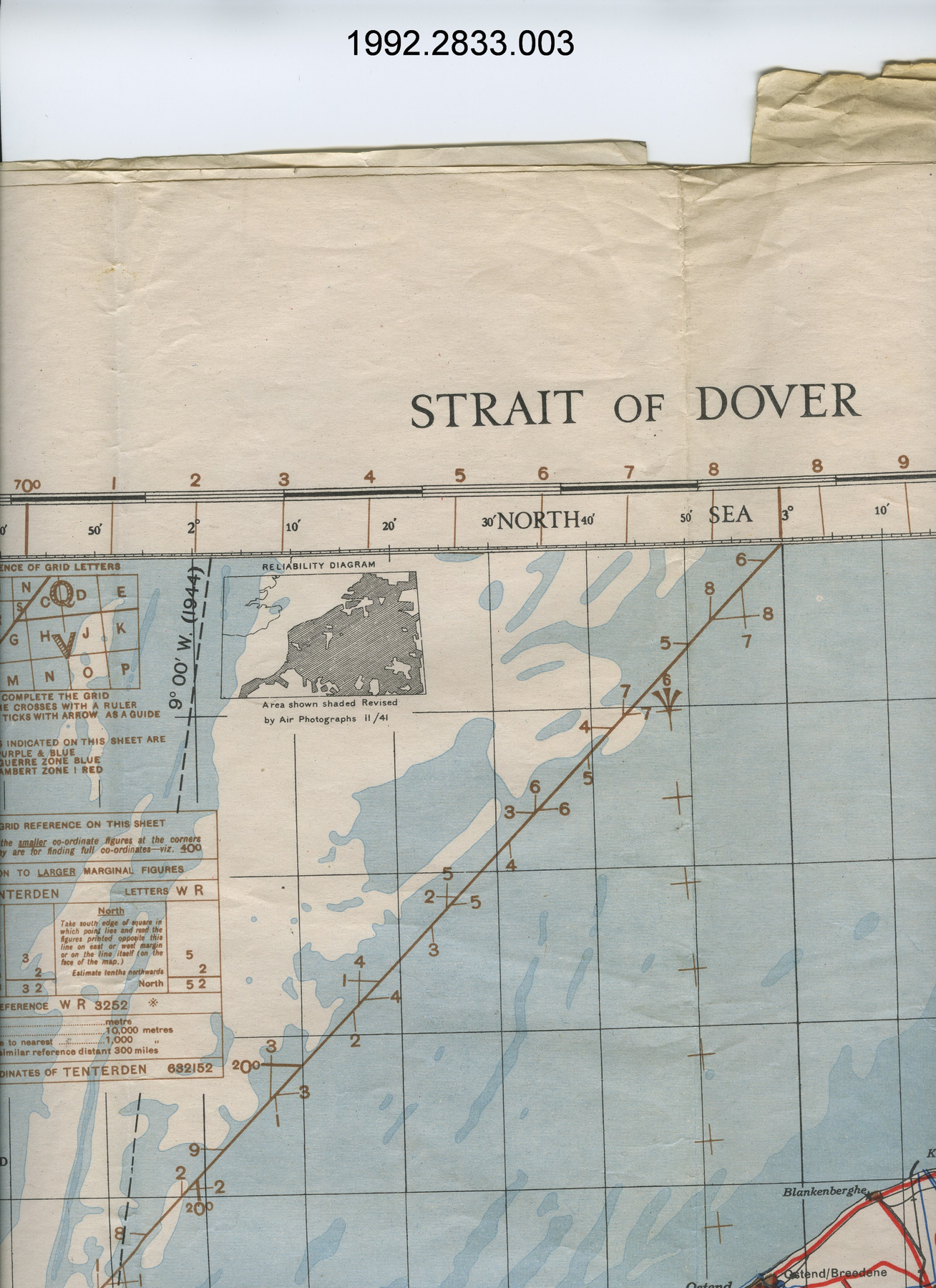
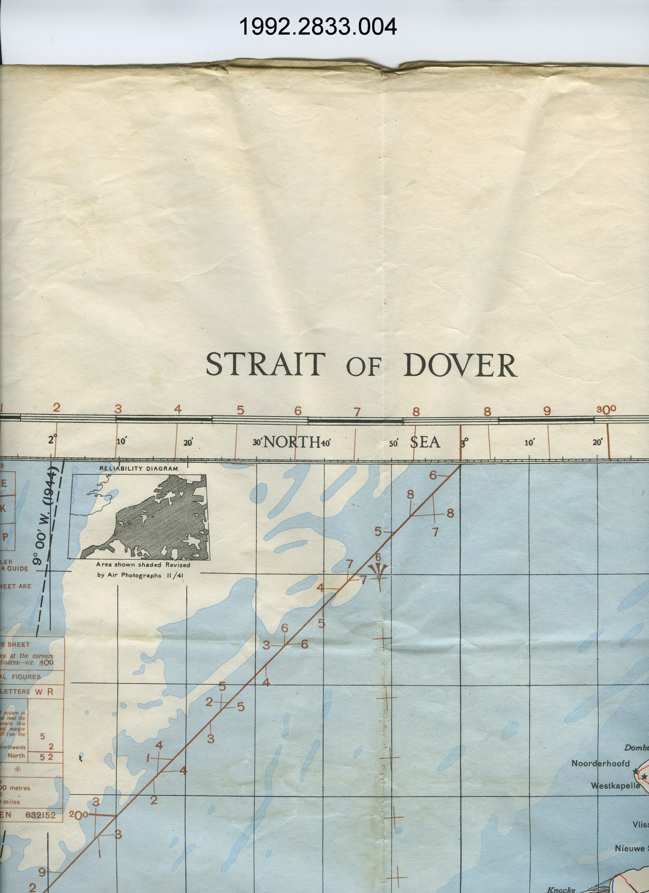
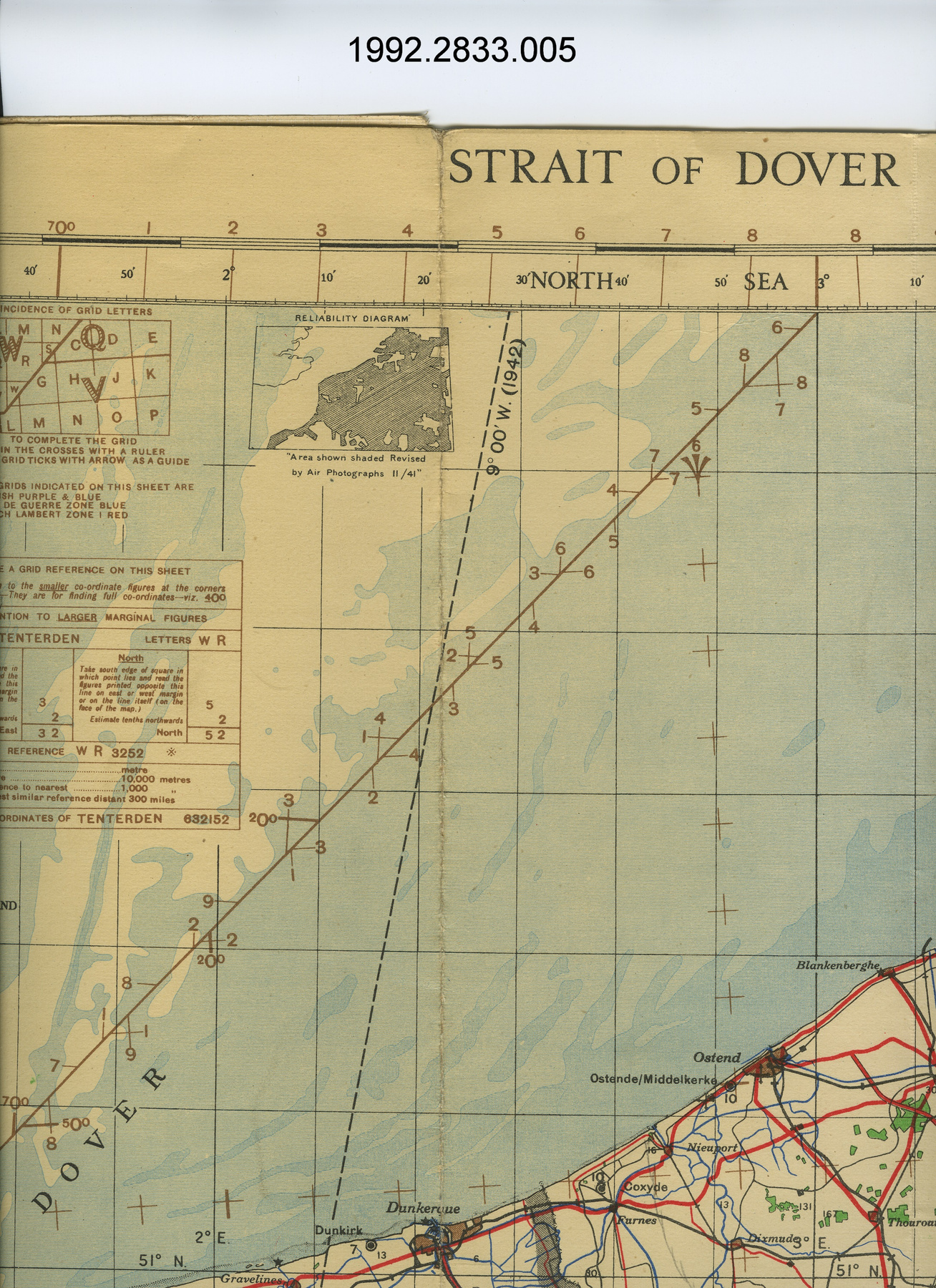
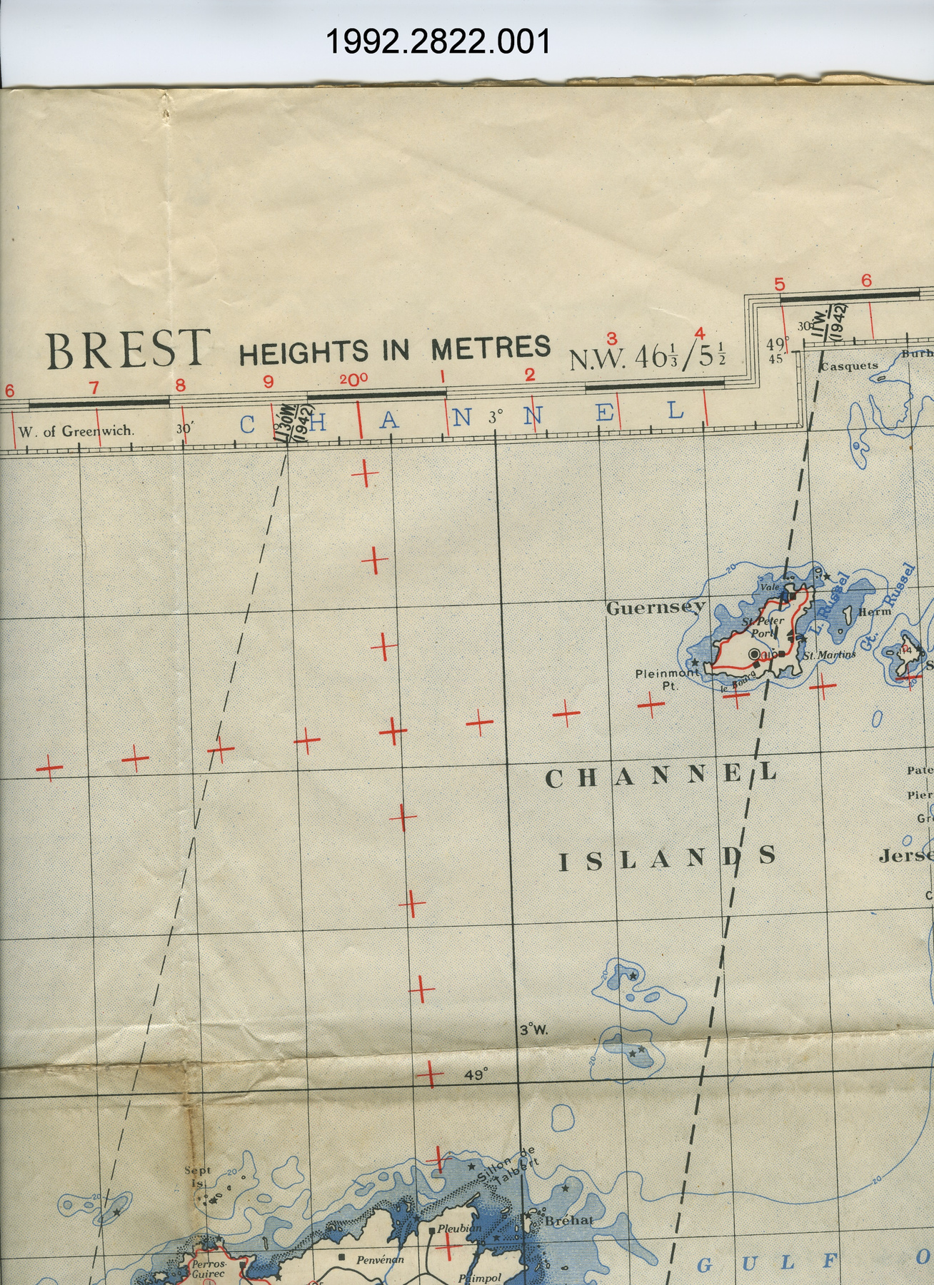
This Cold War era fabric map was revised and reproduced by Great Britain’s Ordnance Survey in 1952, based off of maps published by the British War Office from Geographical Section, General Staff (GSGS) map series no. 2758. The GSGS was in charge of British mapmaking during peacetime and war. The map is two-sided, with one side depicting Trondheim, Norway at a scale of 1:100,000. It is from the third edition of the British Geographical Section, General Staff (GSGS) no. 2758 map series, which was originally published by the British War Office in 1943. The reverse side depicts Helsinki, Finland at a scale of 1:100,000 and is from the third edition GSGS no. 2758 map series, which was originally published by the British War Office in 1945. The maps feature principle railways, roads, oil pipelines, waterways, and key landmarks. Fabric maps, also known as an “escape and evasion map”, were very popular during the Second World War, with Allied airmen and troops. They were often used as a part of escape kits, as unlike paper maps, they are highly durable and quiet, making them valuable for consultation by those who had fallen behind enemy lines. This fabric map of Trondheim and Helsinki produced by the British Government in 1952 illustrates the continued need for easily concealable maps in the face of the Cold War. Maps such as this one were likely shared amongst NATO countries. - Function
-
A two-dimensional graphic representation of Trondheim and Helsinki, used by NATO forces to escape enemy territory. - Technical
-
Fabric maps are more durable, flexible, and water resistant than paper maps. They were often made of silk, but many were made of synthetic fiber. They could be silently concealed inside one’s clothing, avoiding unwanted attention. - Area Notes
-
Unknown
Details
- Markings
- Lettering above map border on Helsinki side reads: "EUROPE/Scale 1:1,000,000/HELSINKI/RESTRICTED/THIRD EDITION - G.S.G.S./NORTH P-34, 35 & 36"; lettering under map border on Helsinki side reads: "G.S.,G.S. No. 2758/Published by War Office, 1945/Third Edition - G.S.G.S. 1952./Annual change about 6' Easterly/Reference/[legend]/GLOSSARY/[legend]/HEIGHTS IN METRES/RESTRICTED/METHOD OF GIVING A POSITION/REFERENCE ON THIS SHEET/[paragraph]/This map must NOT be considered an authority/on the delimitation of international boundaries./INDEX TO ADJOINING SHEETS/[index]/Revised and reproduced by O.S. 1952."; lettering above map border on Trondheim side reads: "EUROPE/Scale 1:1,000,000/TRONDHEIM/(TRONDHJEM)/RESTRICTED/THIRD EDITION - G.S.G.S./NORTH P.31, 32, 33 & part 34."; lettering and graphic on proper left side of map border of conversion table from metres to feet; lettering under map border on Stalingrad side reads: "G.S.,G.S. No. 2758./Published by War Office, 1943./Third Edition - G.S.G.S. 1952./Reference/[legend]/Annual change about 7 1/2 Easterly/GLOSSARY/[legend]/HEIGHTS IN METRES/RESTRICTED/Scale 1:1,000,000/[scale]/METHOD OF GIVING A POSITION/REFERENCE ON THIS SHEET/[paragraph]/This map must NOT be considered an authority/on the delimitation of international boundaries./INDEX TO ADJOINING SHEETS/[index]/Revised and reproduced by O.S. 1952."; some lettering has not been captured for brevity.
- Missing
- The artifact appears complete.
- Finish
- Off-white background with elements in different shades of blue, black, and red.
- Decoration
- Lines, shapes, and shading meant to represent different terrains, key landmarks, waterways, roads, railways, and oil pipelines; drawn graphic in proper bottom left corners for adjoining multiple maps.
CITE THIS OBJECT
If you choose to share our information about this collection object, please cite:
Ordnance Survey of Great Britain, Map, after 1952, Artifact no. 1995.1963, Ingenium – Canada’s Museums of Science and Innovation, http://collections.ingeniumcanada.org/en/id/1995.1963.001/
FEEDBACK
Submit a question or comment about this artifact.
More Like This
