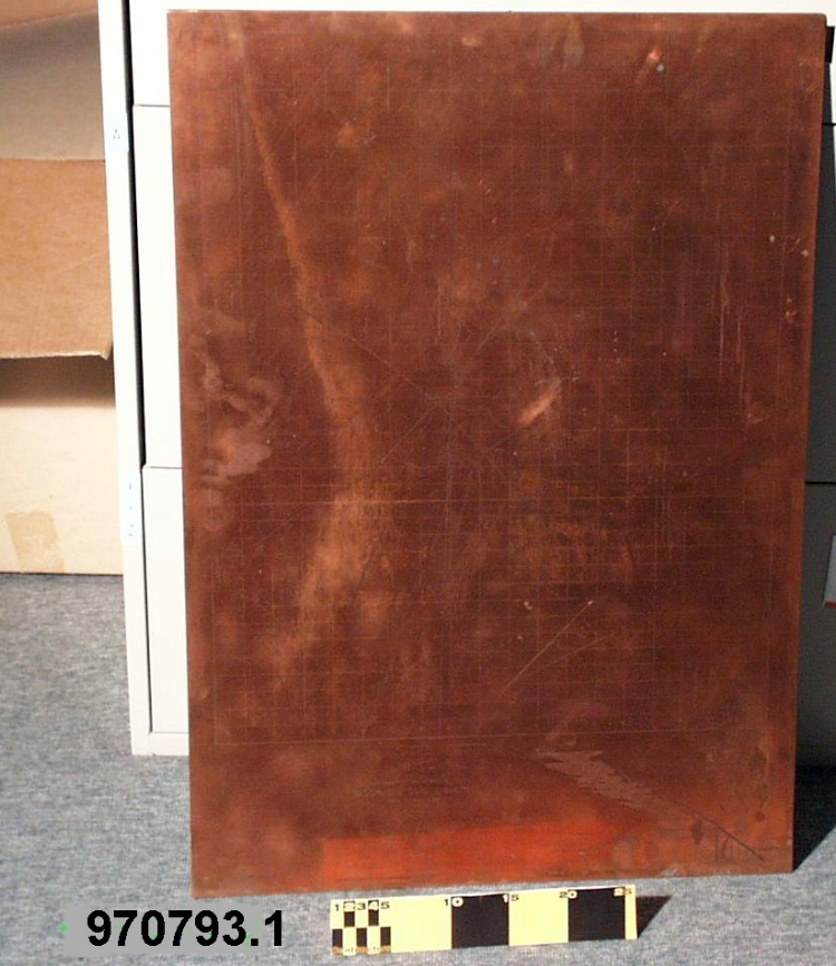
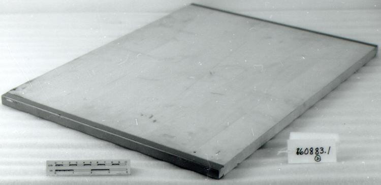
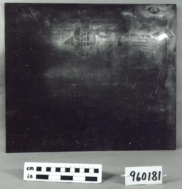
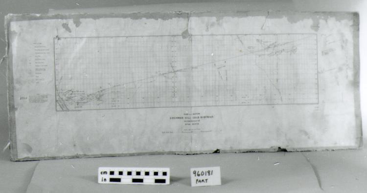
Plate, printing
Use this image
Can I reuse this image without permission? Yes
Object images on the Ingenium Collection’s portal have the following Creative Commons license:
Copyright Ingenium / CC BY-NC-ND (Attribution-NonCommercial 4.0 International (CC BY-NC 4.0)
ATTRIBUTE THIS IMAGE
Ingenium,
1996.0181.001
Permalink:
Ingenium is releasing this image under the Creative Commons licensing framework, and encourages downloading and reuse for non-commercial purposes. Please acknowledge Ingenium and cite the artifact number.
DOWNLOAD IMAGEPURCHASE THIS IMAGE
This image is free for non-commercial use.
For commercial use, please consult our Reproduction Fees and contact us to purchase the image.
- OBJECT TYPE
- GRAVURE
- DATE
- 1936
- ARTIFACT NUMBER
- 1996.0181.001
- MANUFACTURER
- Geological Survey of Canada
- MODEL
- COCHRAN HILL GOLD DISTRICT
- LOCATION
- Ottawa, Ontario, Canada
More Information
General Information
- Serial #
- N/A
- Part Number
- 1
- Total Parts
- 1
- AKA
- N/A
- Patents
- N/A
- General Description
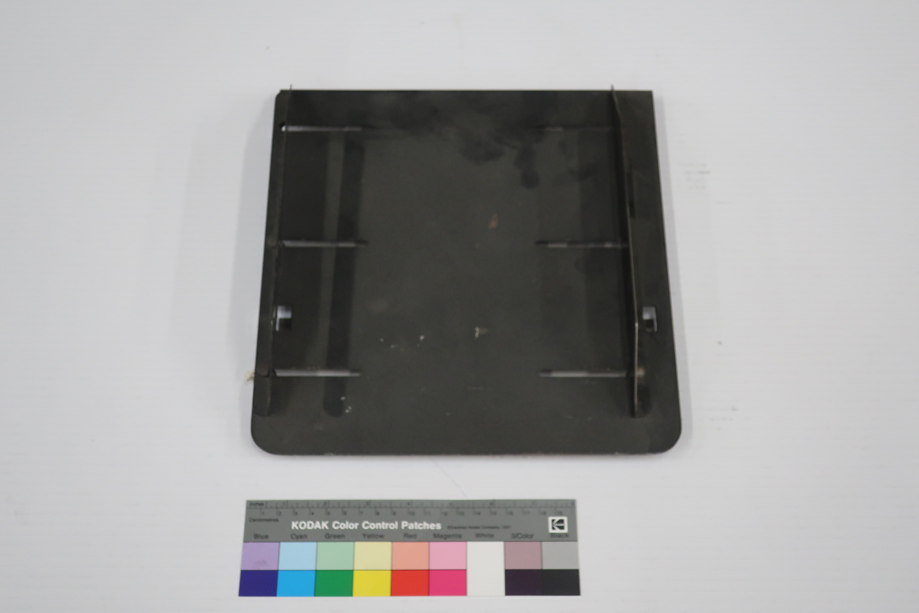
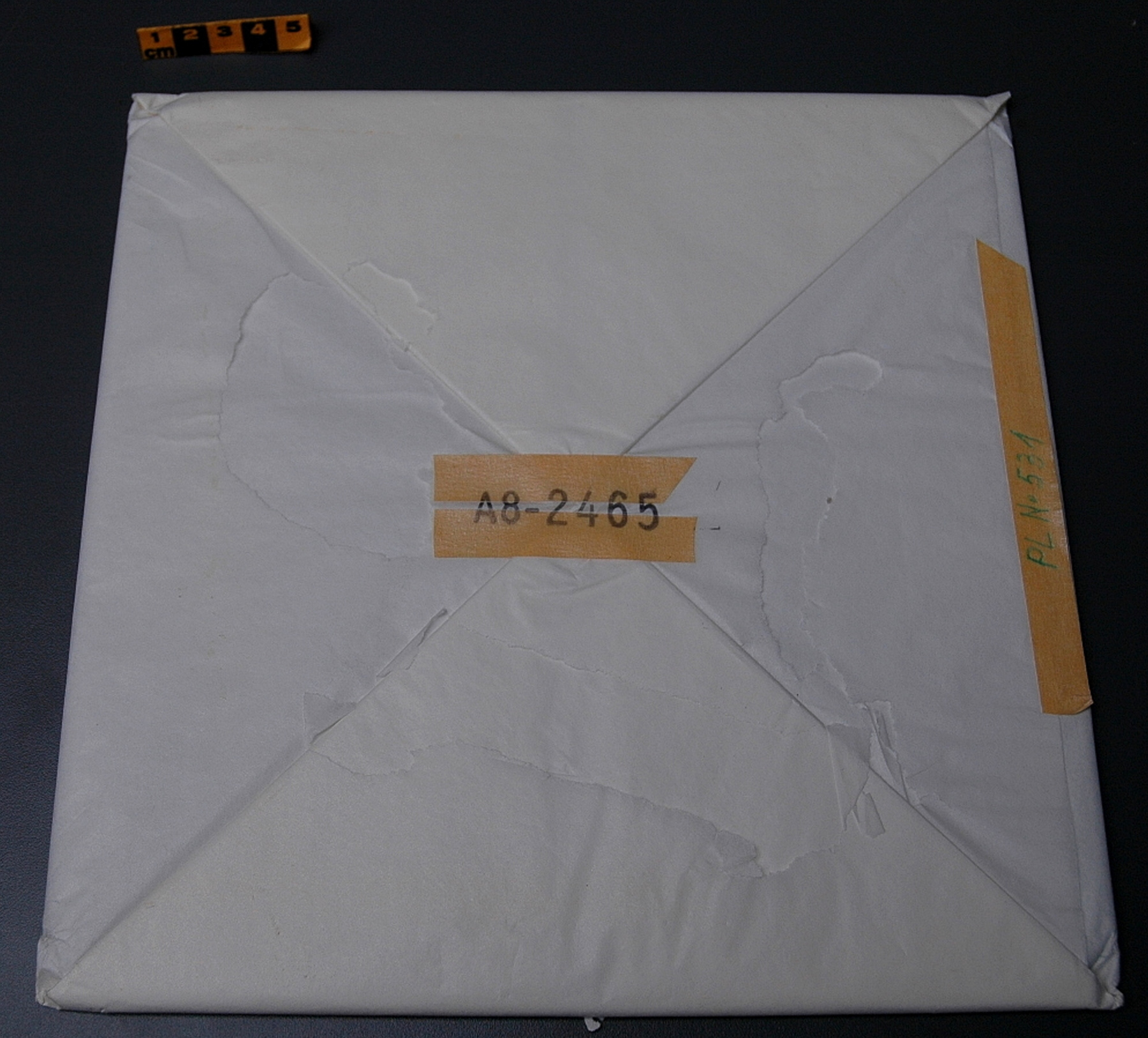
- COPPER PLATE. HEAVY PAPER COVER OR WRAPPER APPEARS TO BE REINFORCED WITH LINEN
Dimensions
Note: These reflect the general size for storage and are not necessarily representative of the object's true dimensions.
- Length
- 40.6 cm
- Width
- 35.1 cm
- Height
- N/A
- Thickness
- N/A
- Weight
- N/A
- Diameter
- N/A
- Volume
- N/A
Lexicon
- Group
- Exploration and Survey
- Category
- Miscellaneous
- Sub-Category
- N/A
Manufacturer
- AKA
- Survey CA
- Country
- Canada
- State/Province
- Ontario
- City
- Ottawa
Context
- Country
- Canada
- State/Province
- Ontario
- Period
- THIS PLATE PROBABLY USED C.1936-1950S, AND POSSIBLY LATER
- Canada
-
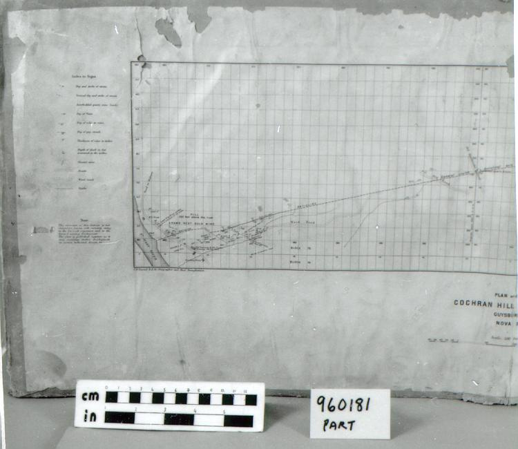
EXAMPLE OF PRINTING PLATE PRODUCED & USED BY GEOLOGICAL SURVEY OF CANADA INTHEIR MAP & DRAWING PRODUCTION PROCESS. PLAN INCLUDES MAGNETIC DECLINATION MEASUREMENTS & MINERAL DEPOSIT SITE IDENTIFICATION, IN ADDITION TO PHYSICAL RECORD OF AREA. - Function
-
IMAGE CARRIER, FOR USE WITH GRAVURE PRINTING PROCESS - Technical
-
ONCE PREPARED FOR PRINTING (INK INTRODUCED INTO ALL INCISED AREAS, AND EXCESS WIPED CLEAN), THIS PLATE WOULD BE PUT THROUGH A ROLLER PRESS TO PRODUCE ALMOST ONE-HALF OF PRINTED PLAN. THESE PLATES RETAINED THEIR FINE, SHARP FEATURES AND WERE USED FOR MANY YEARS BY GSC TO PRODUCE INNUMERABLE MAPS, SITE PLANS, DRAWINGS, ETC. - Area Notes
-
Unknown
Details
- Markings
- PLATE BEARS ENGRAVED PLAN, INDEX TO SIGNS [USED] AND EXPLANATION OF GRAPHIC SYMBOLS; 'NOTE./ The structure of this district is not/ everywhere known with certainty owing/ to the few rock exposures and to the/ limited mining development./ The plan is published, however, as it/ may encourage further development/ in certain indicated directions.', AND ONE LETTER ONLY 'C' OF TITLE. PLATE ALSO BEARS PORTION OF SCALE, 'C.O. Senecal B.A. Sc., Geographer and Chief DraUGHTsman.', AND 'G.S. Nov.30.36/ GEOLOGICAL SURVEY/ OF/ CANADA'/ PAPER COVER BEARS COMPLETE MAP ON ONE SIDE; HAND LETTERED LABELLING ON REVERSE: 'Cochran Hill Gold Dist.;' '1-3' AND IN BLACK GREASE PENCIL '287'
- Missing
- NONE- PLATE IS COMPLETE IN ITSELF. SECOND PLATE NEEDED TO PRODUCE COMPLETED DRAWING IS MISSING.
- Finish
- NATURAL COPPER-COLOUR. OFF-WHITE PAPER COVER
- Decoration
- N/A
CITE THIS OBJECT
If you choose to share our information about this collection object, please cite:
Geological Survey of Canada, Plate, printing, 1936, Artifact no. 1996.0181, Ingenium – Canada’s Museums of Science and Innovation, http://collections.ingeniumcanada.org/en/id/1996.0181.001/
FEEDBACK
Submit a question or comment about this artifact.
More Like This
