Map
Use this image
Can I reuse this image without permission? Yes
Object images on the Ingenium Collection’s portal have the following Creative Commons license:
Copyright Ingenium / CC BY-NC-ND (Attribution-NonCommercial 4.0 International (CC BY-NC 4.0)
ATTRIBUTE THIS IMAGE
Ingenium,
2002.0573.002
Permalink:
Ingenium is releasing this image under the Creative Commons licensing framework, and encourages downloading and reuse for non-commercial purposes. Please acknowledge Ingenium and cite the artifact number.
DOWNLOAD IMAGEPURCHASE THIS IMAGE
This image is free for non-commercial use.
For commercial use, please consult our Reproduction Fees and contact us to purchase the image.
- OBJECT TYPE
- N/A
- DATE
- 1916
- ARTIFACT NUMBER
- 2002.0573.002
- MANUFACTURER
- CNR
- MODEL
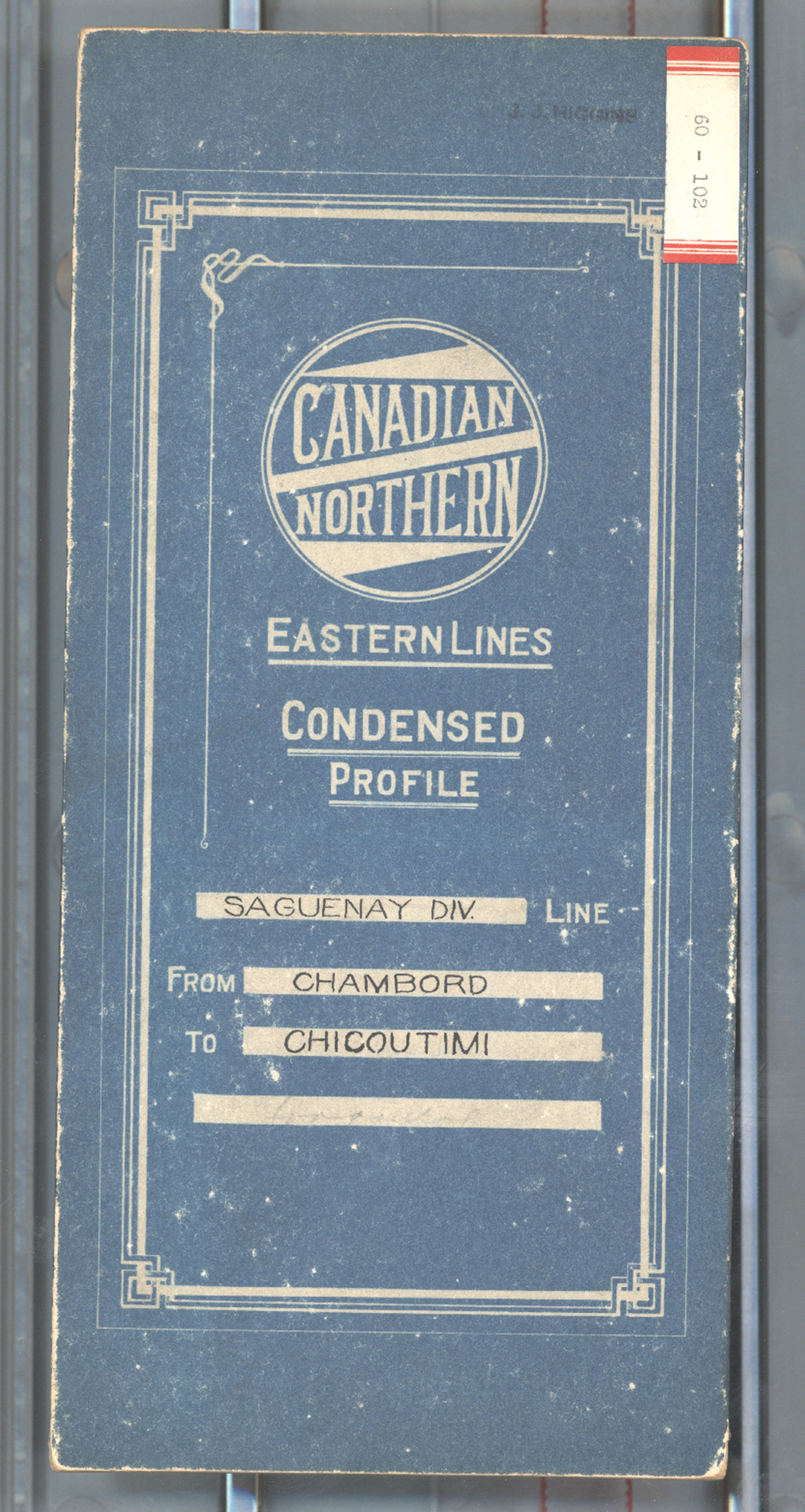
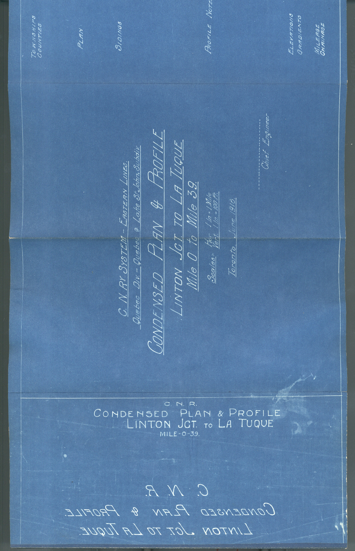
- CN Eastern Lines. Condensed Profile. Saguenay Division Line. Linton Junction to La-Tuque.
- LOCATION
- Toronto, Ontario, Canada
More Information
General Information
- Serial #
- N/A
- Part Number
- 2
- Total Parts
- 2
- AKA
- Condensed profile
- Patents
- N/A
- General Description
- paper
Dimensions
Note: These reflect the general size for storage and are not necessarily representative of the object's true dimensions.
- Length
- 25.3 cm
- Width
- 11.7 cm
- Height
- 1.3 cm
- Thickness
- N/A
- Weight
- N/A
- Diameter
- N/A
- Volume
- N/A
Lexicon
- Group
- Railway Transportation
- Category
- Archives
- Sub-Category
- N/A
Manufacturer
- AKA
- CN
- Country
- Canada
- State/Province
- Ontario
- City
- Toronto
Context
- Country
- Canada
- State/Province
- Quebec
- Period
- Presumably used after June, 1916
- Canada
-
Condensed profile for CNR's Saguenay Division line, from Linton Junction to La-Tuque., PQ. - Function
-
To provide detailed information on grades, structures and signals on specific section of rail line. - Technical
-
Example of document commonly produced and regularly used by railways. Maps of this type were used extensively on railway systems by the engineering departments to assist in the operation and maintenance of the lines. Information is provided in both plan and elevation form, as is typical of condensed profiles. (Ref. 1) Scale: 1 inch= 1 mile (horizontal]; 1 inch= 100 ft. [vertical] - Area Notes
-
Unknown
Details
- Markings
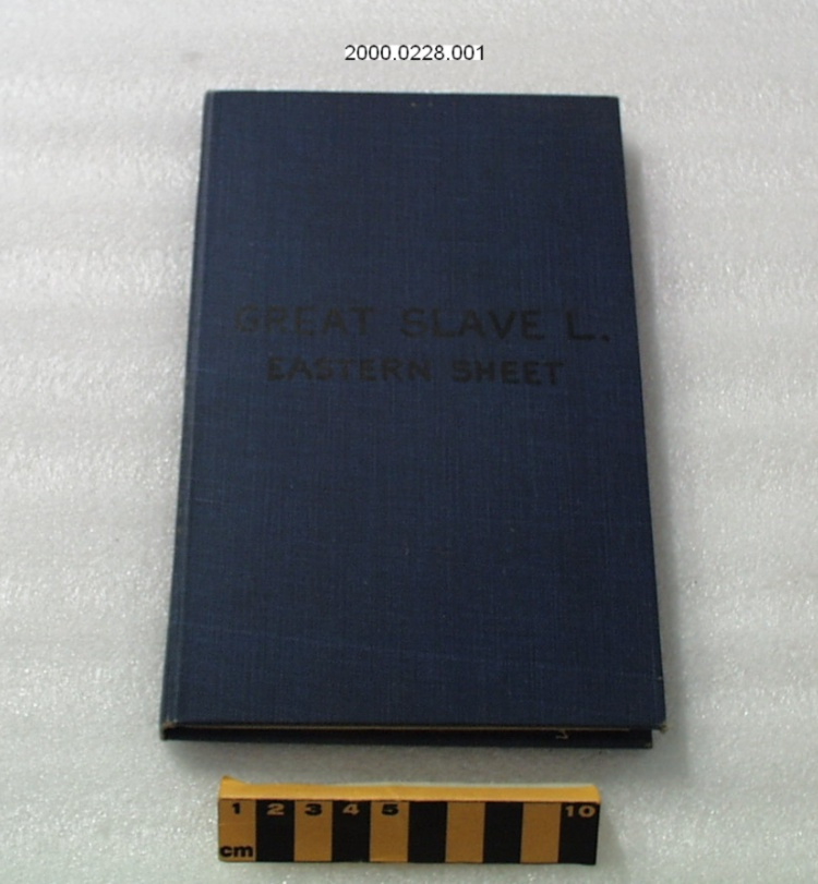
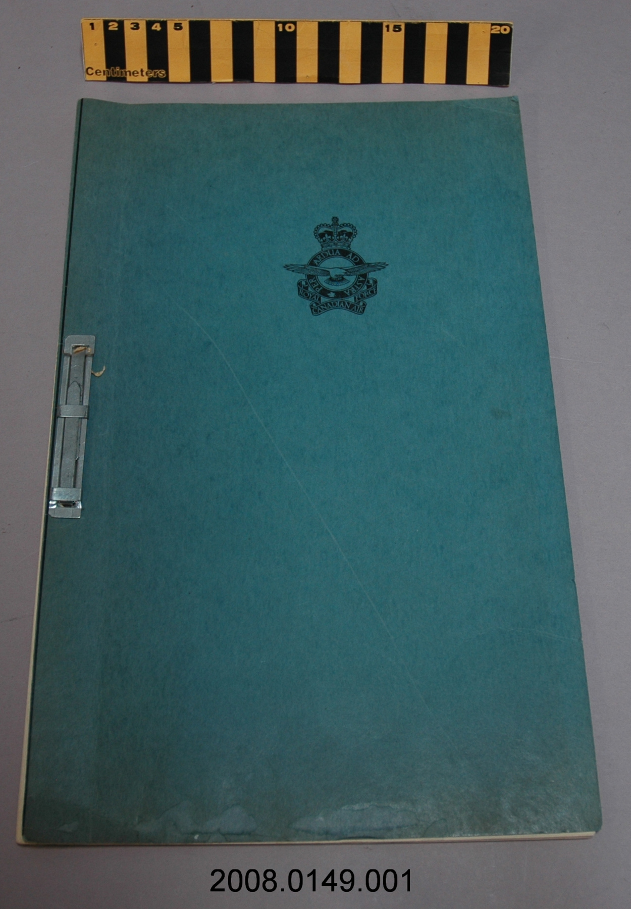
- Front cover marked "CANADIAN/ NORTHERN/ EASTERN LINES/ CONDENSED/ PROFILE/ SAGUENAY DIV. LINE/ FROM LINTON JUNCTION/ TO LA-TUQUEI/ [illegible]/ NO TRACK". "60- 100" printed on label applied to upper right corner of front cover. "C.N.RY. SYSTEM- EASTERN LINES./ QUEBEC DIV.- Quebec & Lake St. John Subdiv./ CONDENSED PLAN & PROFILE/ LINTON JCT. TO LA TUQUE/ Mile 0 to Mile 39./ Scales- Hor. 1 In.= 1 Mile/ Vert. 1 In.= 100 Ft./ Toronto, June 1916./ --------------/ Chief Engineer" among markings printed on inside pages. "C.N.R./ CONDENSED PLAN & PROFILE/ LINTON JCT. TO LA TUQUE/ MILE-0-39." printed inside cover, at top of page; "C.N.R./ CONDENSED PLAN & PROFILE./ LINTON JCT. TO LA TUQUE." printed in mirror-script, below.
- Missing
- None.
- Finish
- Heavy paper board covers for book have blue background, and off-white text & graphics; selected text handwritten in blue ink. "Blueprint" produced pages have off-white ink markings on vivid blue paper.
- Decoration
- N/A
CITE THIS OBJECT
If you choose to share our information about this collection object, please cite:
CNR, Map, 1916, Artifact no. 2002.0573, Ingenium – Canada’s Museums of Science and Innovation, http://collections.ingeniumcanada.org/en/id/2002.0573.002/
FEEDBACK
Submit a question or comment about this artifact.
More Like This
