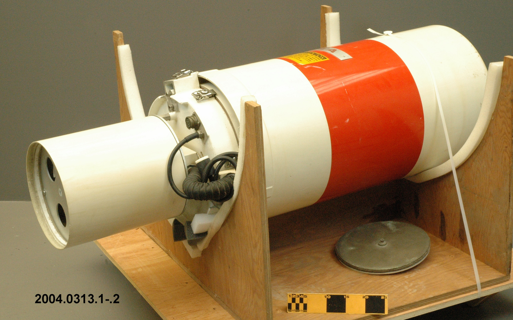
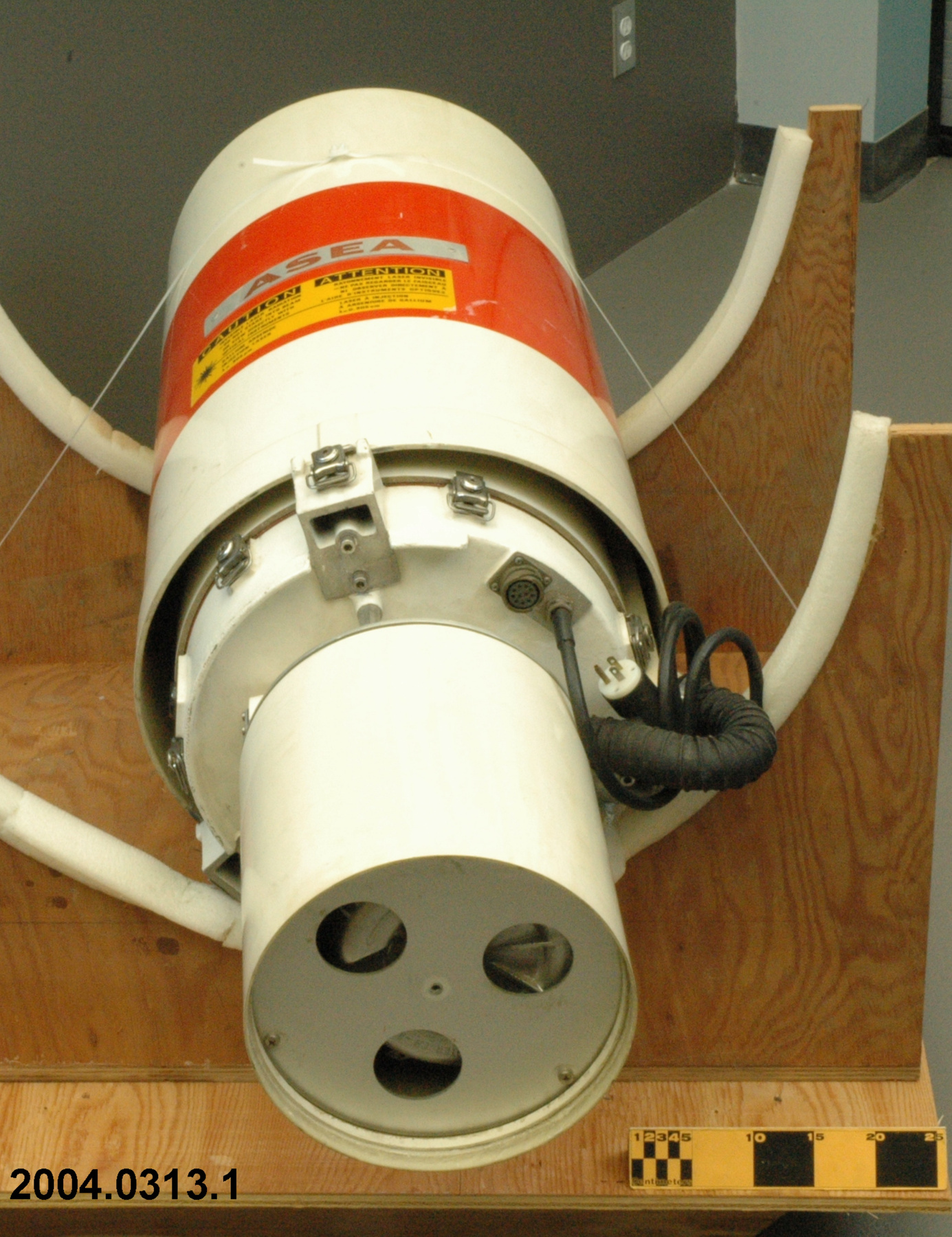
Ceilometer
Use this image
Can I reuse this image without permission? Yes
Object images on the Ingenium Collection’s portal have the following Creative Commons license:
Copyright Ingenium / CC BY-NC-ND (Attribution-NonCommercial 4.0 International (CC BY-NC 4.0)
ATTRIBUTE THIS IMAGE
Ingenium,
2004.0313.001
Permalink:
Ingenium is releasing this image under the Creative Commons licensing framework, and encourages downloading and reuse for non-commercial purposes. Please acknowledge Ingenium and cite the artifact number.
DOWNLOAD IMAGEPURCHASE THIS IMAGE
This image is free for non-commercial use.
For commercial use, please consult our Reproduction Fees and contact us to purchase the image.
- OBJECT TYPE
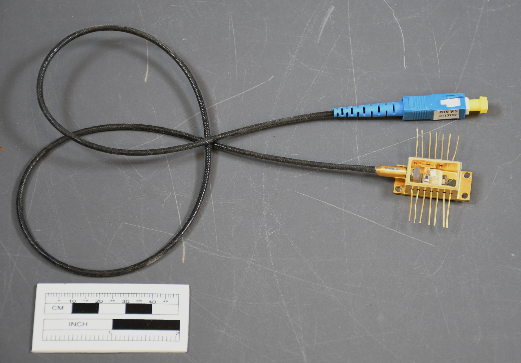
- gallium arsenide injection laser
- DATE
- 1987
- ARTIFACT NUMBER
- 2004.0313.001
- MANUFACTURER
- ASEA
- MODEL
- QL1212
- LOCATION
- Sweden
More Information
General Information
- Serial #
- 7393-798
- Part Number
- 1
- Total Parts
- 2
- AKA
- N/A
- Patents
- N/A
- General Description
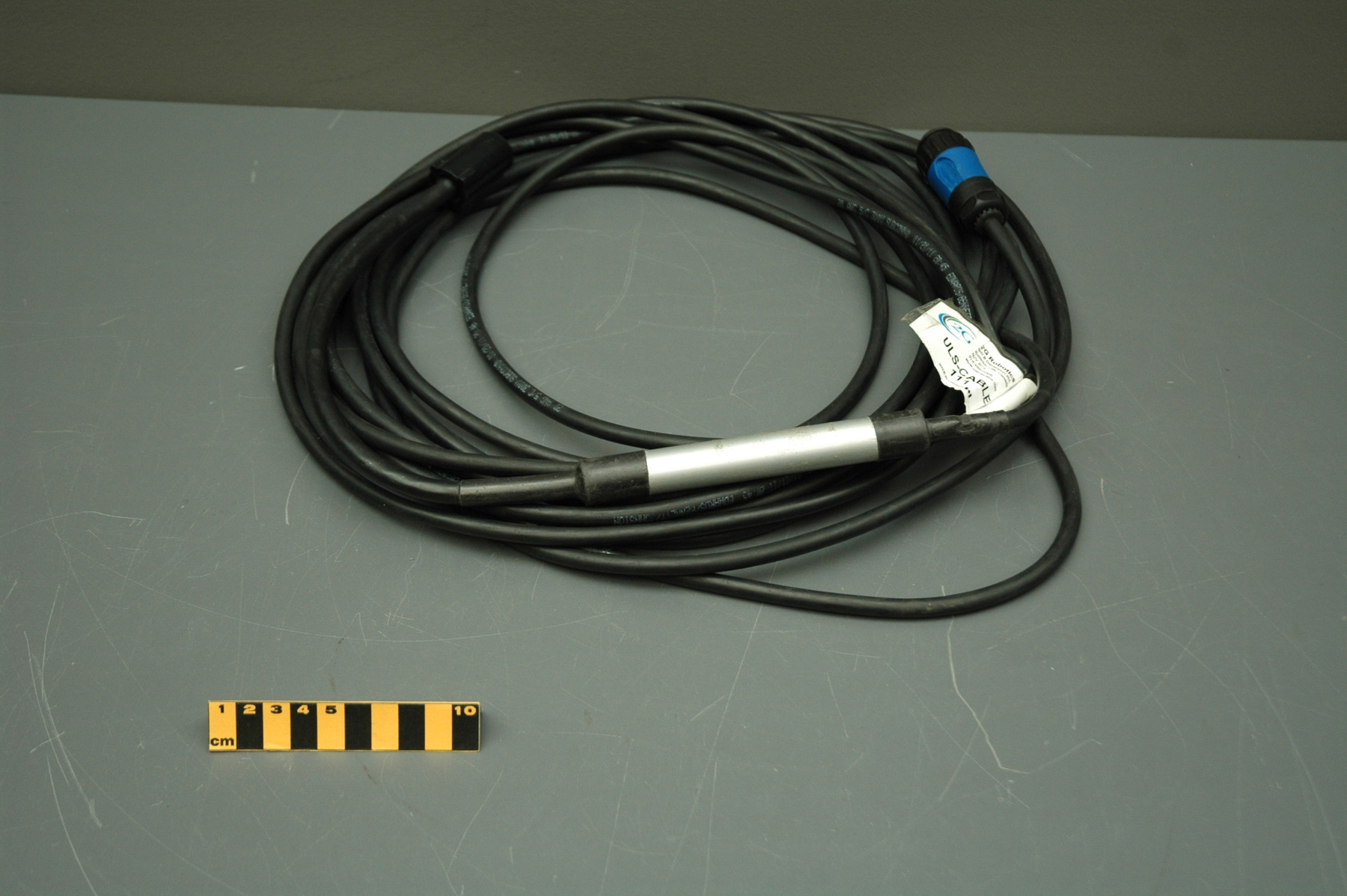
- synthetic casing/ synthetic hose, cord, parts/ metal parts, hardware
Dimensions
Note: These reflect the general size for storage and are not necessarily representative of the object's true dimensions.
- Length
- 52.0 cm
- Width
- 44.0 cm
- Height
- 136.0 cm
- Thickness
- N/A
- Weight
- N/A
- Diameter
- N/A
- Volume
- N/A
Lexicon
- Group
- Meteorology
- Category
- Cloud height & motion measurement
- Sub-Category
- N/A
Manufacturer
- AKA
- ASEA
- Country
- Sweden
- State/Province
- Unknown
- City
- Unknown
Context
- Country
- Canada
- State/Province
- Ontario
- Period
- Unknown
- Canada
-
Part of a large collection of meteorological instruments acquired from the Meteorological Service of Canada (previously Atmospheric Environment Service) by the CSTM since 1967. MSC is the government agency responsible for collecting and disseminating meteorological data and forecasts in Canada. It was founded in 1871 in Toronto where it is still headquartered. The MSC was originally on the University of Toronto downtown campus but moved to Downsview in 1971 on land owned by UofT. The headquarters houses laboratories, research facilities and calibration and instrument maintenance facilities (now largely contracted out). - Function
-
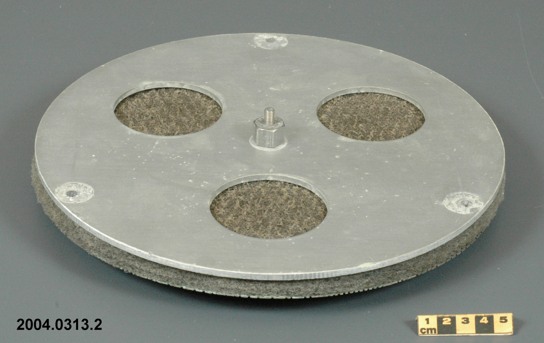
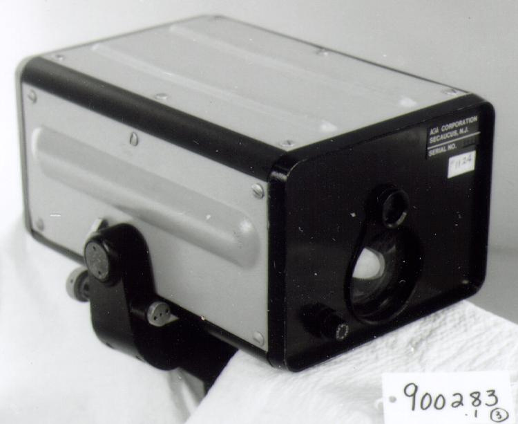
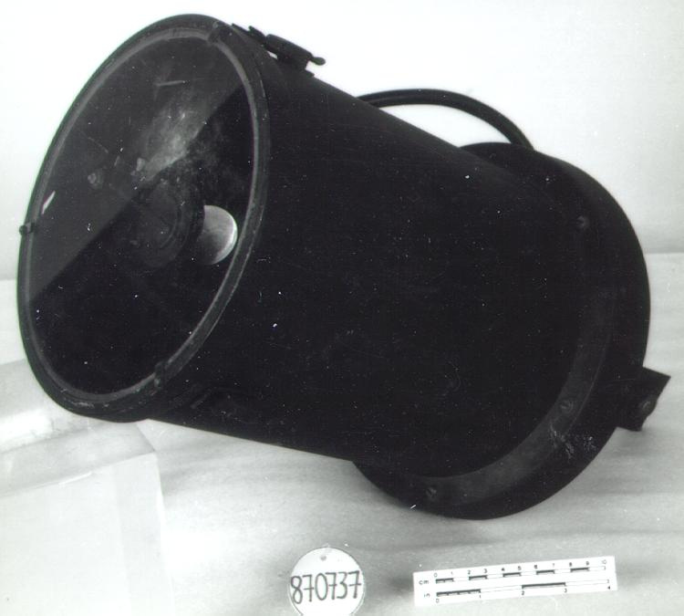
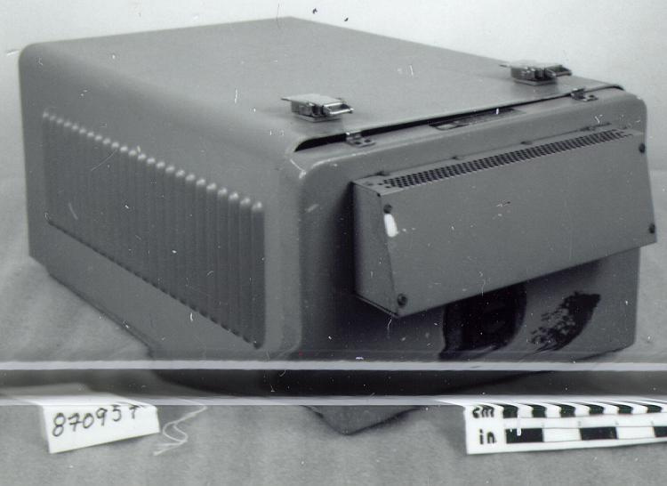
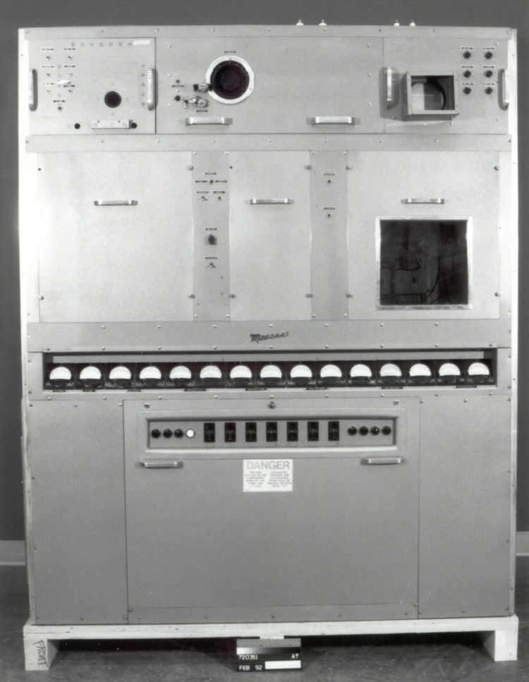
A ceilometer is an automatic, active, remote-sensing instrument for detecting the presence of clouds overhead and measuring the height of their bases. It was used at meteorological stations and airports to continuously measure cloud height above the ground and indicate that reading on a display unit. The instrument measures two different cloud bases, up to a height of 3000 metres. If the vertical visibility is less than 500 metres and the unit cannot detect a cloud base, then the vertical visibility is indicated instead. - Technical
-
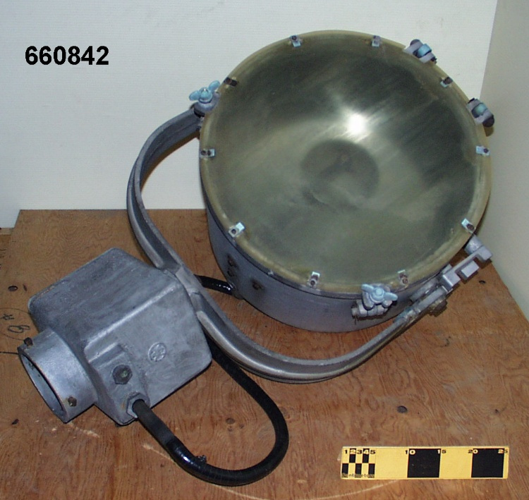
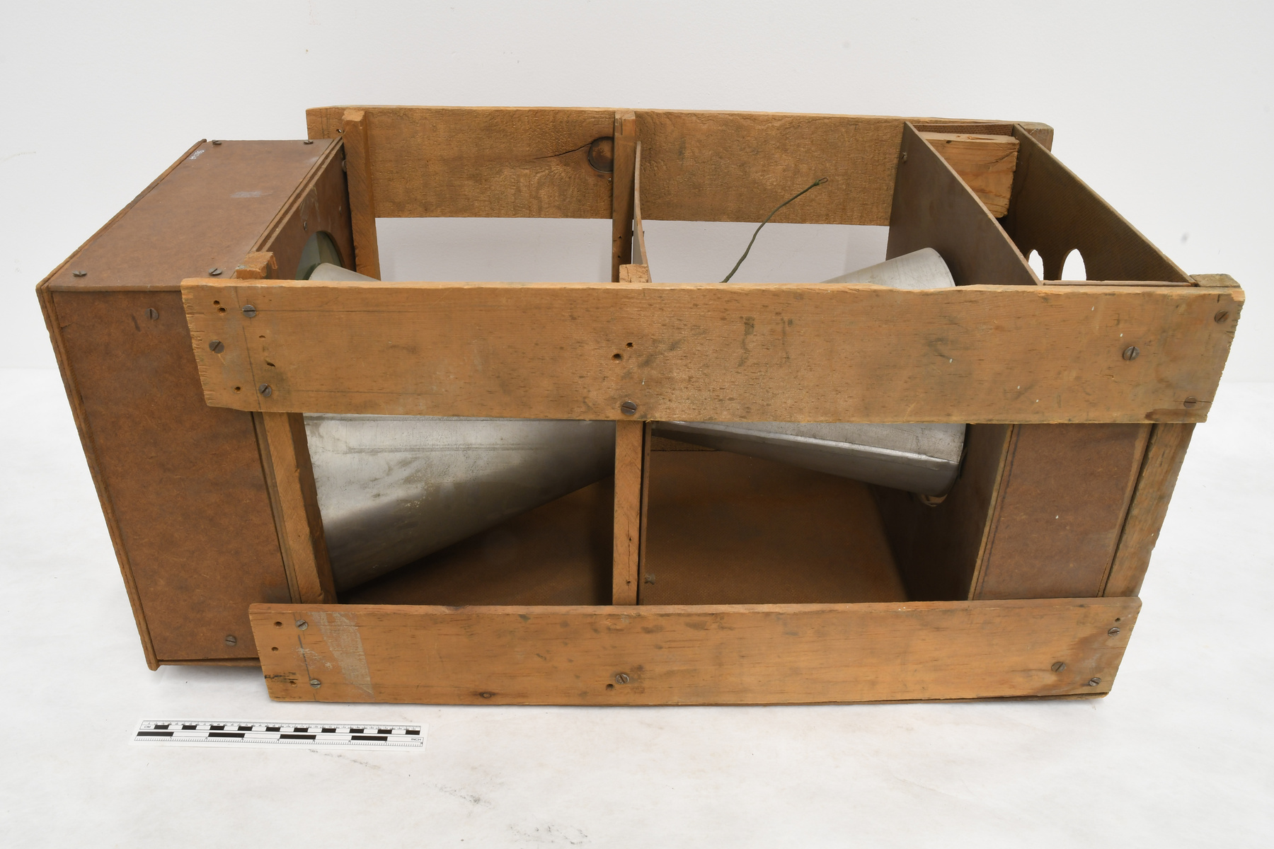
An example of a ceilometer based on optical radar or LIDAR. LIDAR (Light Detection and Rangefinding) is an optical remote sensing technology involving instruments that track atmospheric activity, such as cloud formations, by aiming a powerful infrared pulse at the object and measuring the reflection and scattering (Ref. 3). This ceilometer emits short laser light pulses and the time taken for them to be reflected from the cloud base and arrive back is measured. Using the speed of light, the ceilometer calculates basic cloud height. For optically thin clouds, such as most cirrus, more than one layer may be detected, but when optically thick clouds, such as liquid water stratus, are present, the light beam is unlikely to penetrate much beyond the base of the lowest liquid layer. Laser ceilometers use intense pulses of light in a very narrowly collimated, vertically directed beam, and have collocated transmitter and receiver systems. The cloud base heights may be displayed in a variety of time-height section images or backscatter intensity profile plots. Some older ceilometers use separated transmitter and receiver units. The instruments are designed to work during the day or night. The ASEA ceilometer consists of three basic units: a transceiver, a control unit with a detachable visible display and a recorder. A number of control units may be connected to the transceiver, each with a digital display and recorder, in order to display the measurement results at several locations,. Alternately, the transceiver can be connected to an external data collection system. The outdoor transceiver unit contains the transmitter, receiver, their respective lenses and the electronic and signalling components. The optical and electronic components are in a hermetically sealed casing with two sloping windows at the top for the optical systems of the transmitter and receiver. An open topped cover protects the instrument from sun, wind and snow. The unit also contains a blower to clean the casing windows and heating elements (Refs. 1-2) ASEA was founded in 1889 in Sweden and in 1988 merged with BBC Brown Boveri (Ref. 4) - Area Notes
-
Unknown
Details
- Markings
- exterior label in English and French reads 'ASEA/ CAUTION/ INVISIBLE LASER RADIATION/ DO NOT STARE INTO BEAM/ OR VIEW DIRECTLY WITH/ OPTICAL INSTRUMENTS/ GALLIUM ARSENIDE/ INJECTION LASER' and 'ATTENTION/ RAYONNEMENT LASER INVISIBLE/ NE PAS REGARDER LE FAISCEAU/ NI OBSERVER DIRERECTEMENT A/ L'AIDE D'INSTRUMENTS OPTIQUES/ LASER A INJECTION/ A ARSENIURE DE GALLIUM'
- Missing
- three-legged stand for ceilometer
- Finish
- white synthetic casing with orange band/ metallic hardware/ black synthetic hose, cord, parts/ white synthetic parts
- Decoration
- N/A
CITE THIS OBJECT
If you choose to share our information about this collection object, please cite:
ASEA, Ceilometer, circa 1987, Artifact no. 2004.0313, Ingenium – Canada’s Museums of Science and Innovation, http://collections.ingeniumcanada.org/en/id/2004.0313.001/
FEEDBACK
Submit a question or comment about this artifact.
More Like This
