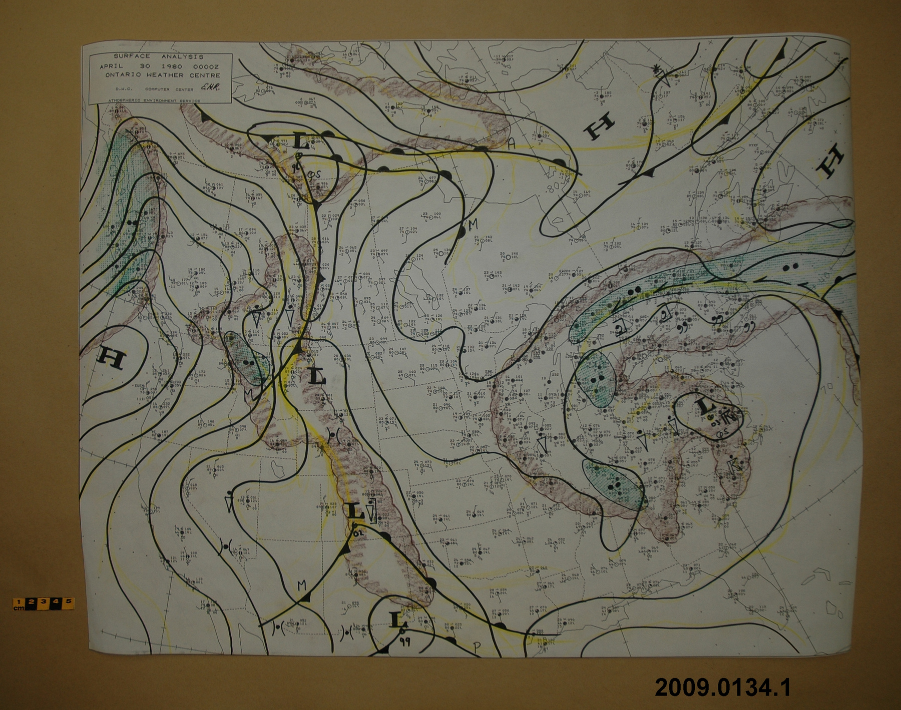
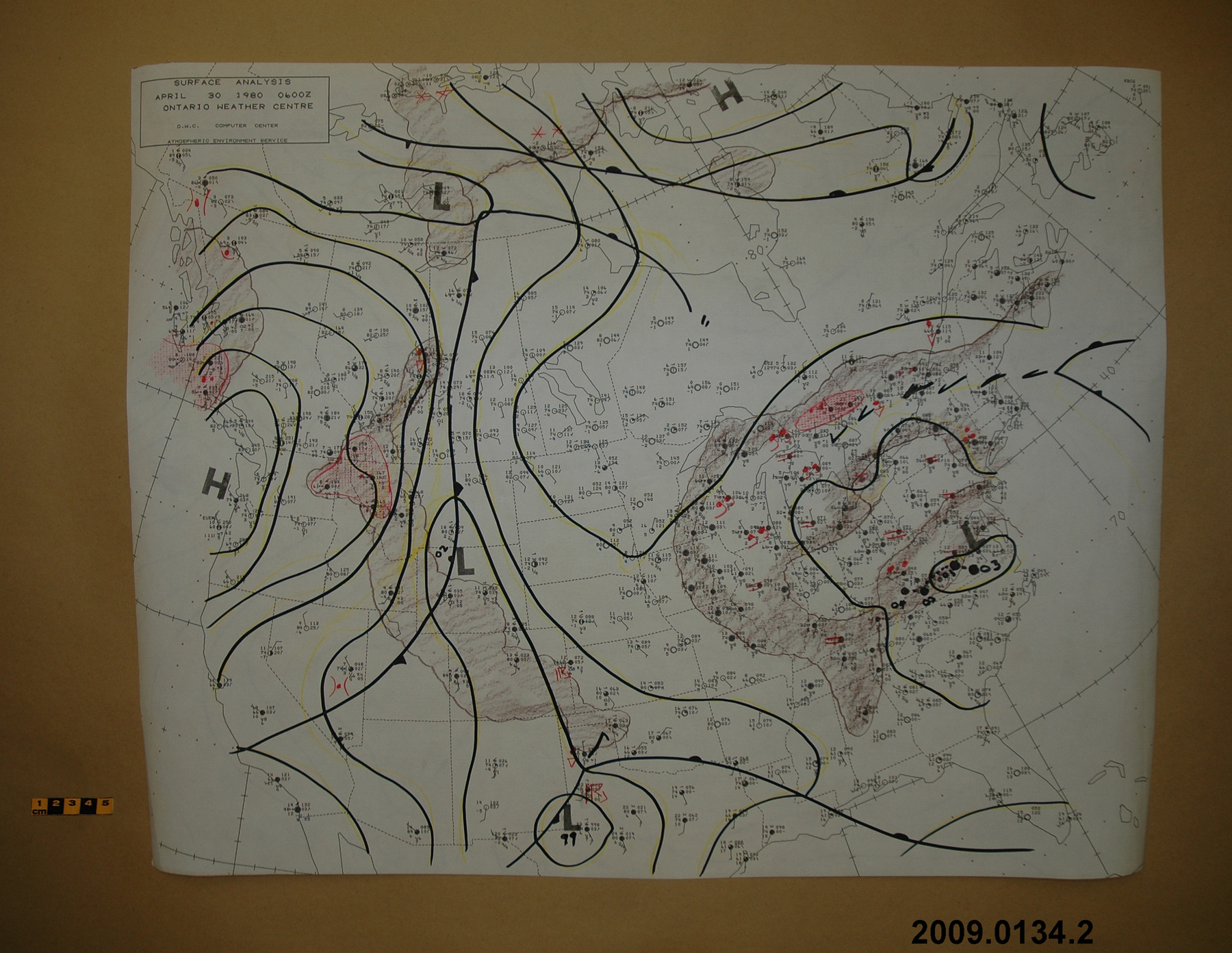
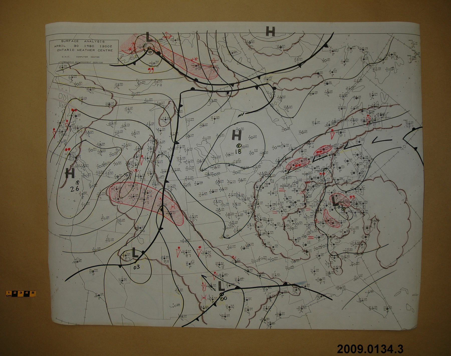
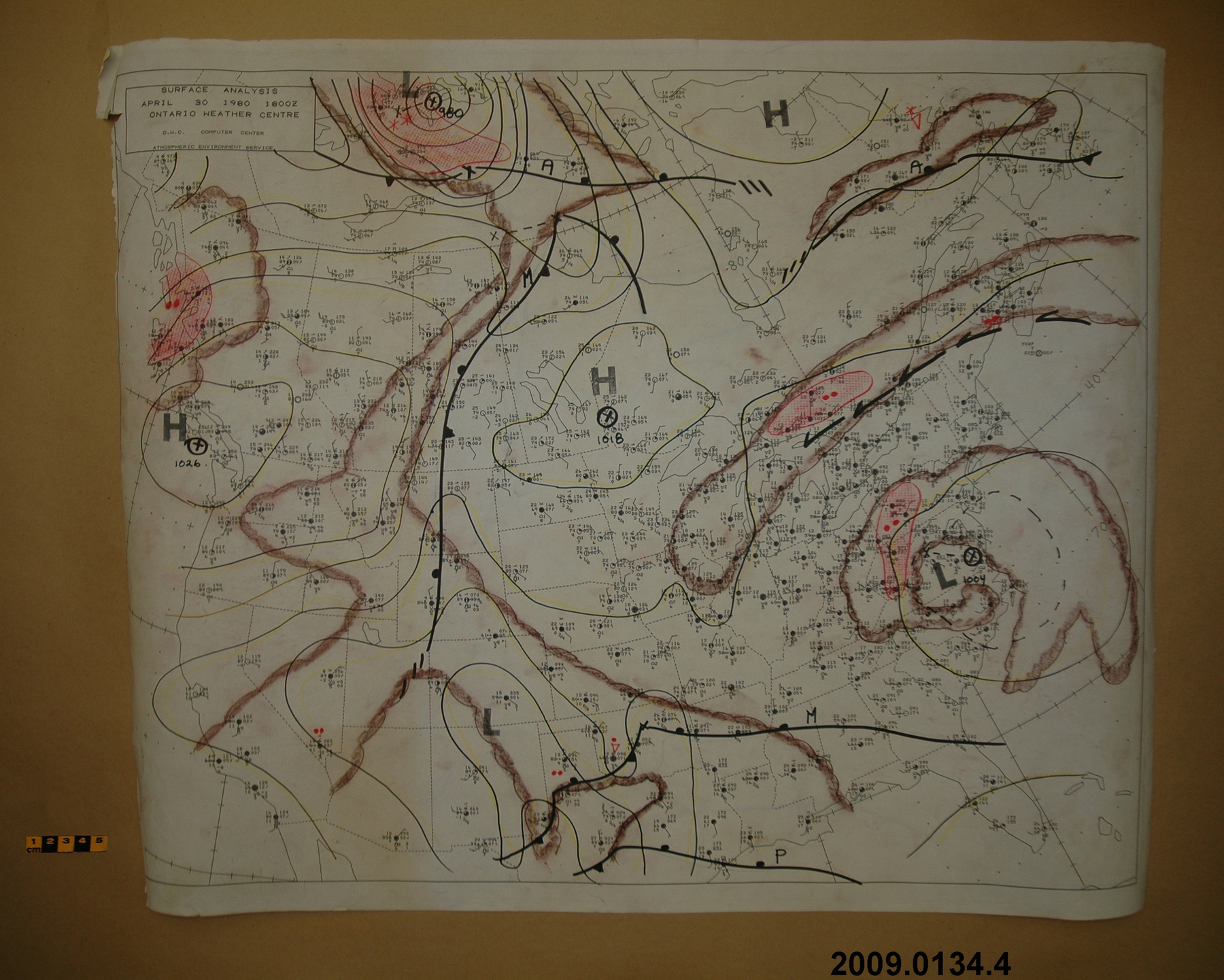
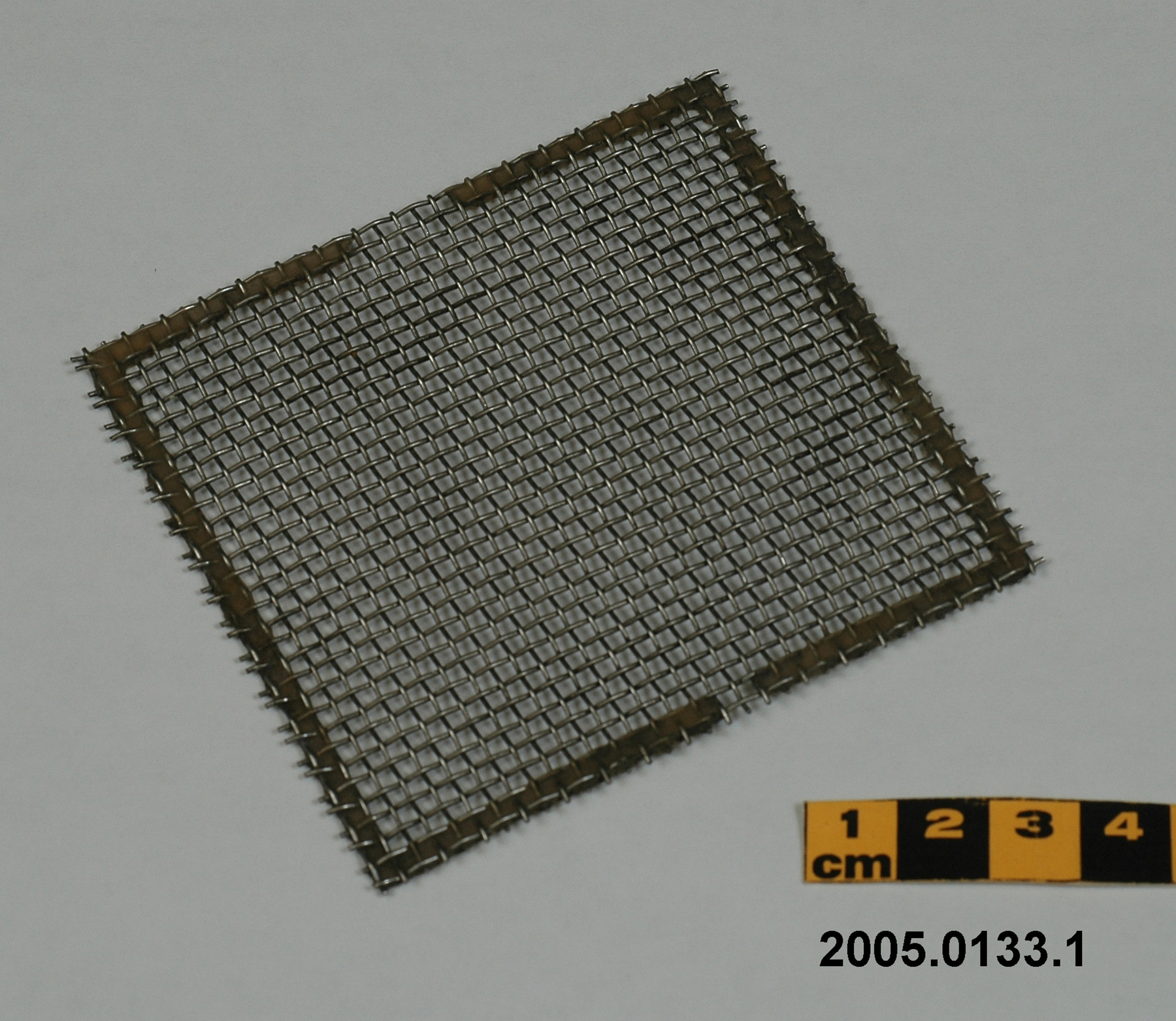
Grid, weather map
Use this image
Can I reuse this image without permission? Yes
Object images on the Ingenium Collection’s portal have the following Creative Commons license:
Copyright Ingenium / CC BY-NC-ND (Attribution-NonCommercial 4.0 International (CC BY-NC 4.0)
ATTRIBUTE THIS IMAGE
Ingenium,
2009.0133.001
Permalink:
Ingenium is releasing this image under the Creative Commons licensing framework, and encourages downloading and reuse for non-commercial purposes. Please acknowledge Ingenium and cite the artifact number.
DOWNLOAD IMAGEPURCHASE THIS IMAGE
This image is free for non-commercial use.
For commercial use, please consult our Reproduction Fees and contact us to purchase the image.
- OBJECT TYPE
- drawing/precipitation-cloud
- DATE
- 1930–1940
- ARTIFACT NUMBER
- 2009.0133.001
- MANUFACTURER
- Meteorological Service of Canada
- MODEL
- Unknown
- LOCATION
- Canada
More Information
General Information
- Serial #
- N/A
- Part Number
- 1
- Total Parts
- 1
- AKA
- N/A
- Patents
- N/A
- General Description
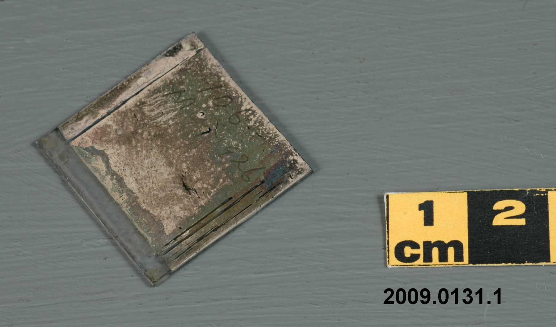
- metal wire mesh with synthetic tape? edging
Dimensions
Note: These reflect the general size for storage and are not necessarily representative of the object's true dimensions.
- Length
- 16.4 cm
- Width
- 10.7 cm
- Height
- N/A
- Thickness
- N/A
- Weight
- N/A
- Diameter
- N/A
- Volume
- N/A
Lexicon
- Group
- Meteorology
- Category
- Precipitation amount, rate & duration measurement
- Sub-Category
- N/A
Manufacturer
- AKA
- Environment CA
- Country
- Canada
- State/Province
- Unknown
- City
- Unknown
Context
- Country
- Canada
- State/Province
- Unknown
- Period
- possibly 1930s+
- Canada
-
An example of a device used by the Meteorological Service of Canada in preparing weather maps. A piece of meteorological equipment from a large collection of meteorological instruments used by the Meteorological Service of Canada (previously Atmospheric Environment Service) and acquired by the CSTM since 1967. MSC is the government agency responsible for collecting and disseminating meteorological data and forecasts in Canada. It was founded in 1871 in Toronto where it is still headquartered. The MSC was originally on the University of Toronto downtown campus but moved to Downsview in 1971 on land owned by UofT. The headquarters houses laboratories, research facilities and calibration and instrument maintenance facilities (now largely contracted out). - Function
-
A device used to highlight precipitation and cloud areas on a weather map without obscuring the plotted data. - Technical
-
The device was placed over a weather map and the grid was used to highlight, by hand, precipitation or precipitation producing middle cloud. Different colours represented different types of precipitation. Green meant rainfall, blue snowfall, red freezing precipitation, and brown meant middle cloud (6500 to 20000'). - Area Notes
-
Unknown
Details
- Markings
- None
- Missing
- Complete
- Finish
- Metallic
- Decoration
- N/A
CITE THIS OBJECT
If you choose to share our information about this collection object, please cite:
Meteorological Service of Canada, Grid, weather map, circa 1930–1940, Artifact no. 2009.0133, Ingenium – Canada’s Museums of Science and Innovation, http://collections.ingeniumcanada.org/en/id/2009.0133.001/
FEEDBACK
Submit a question or comment about this artifact.
More Like This
