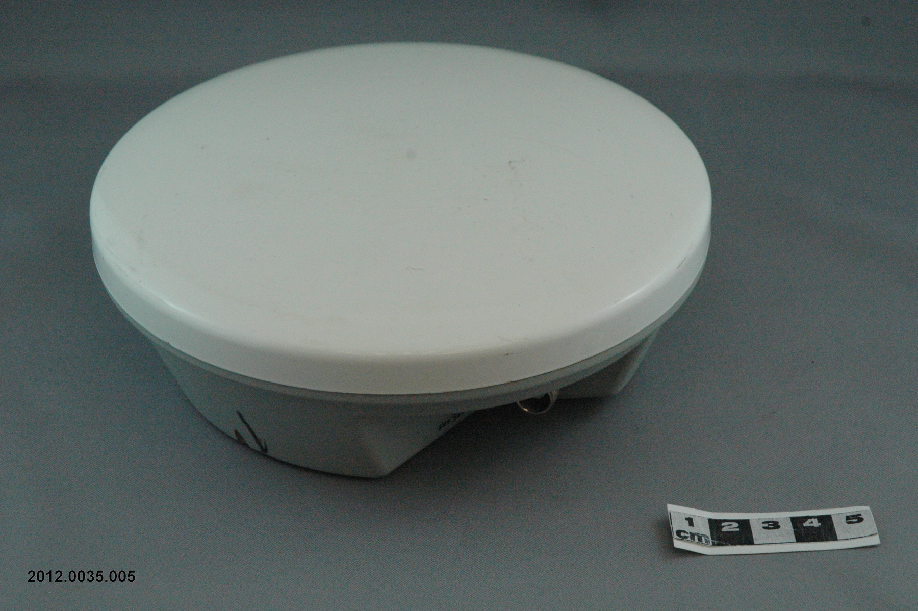
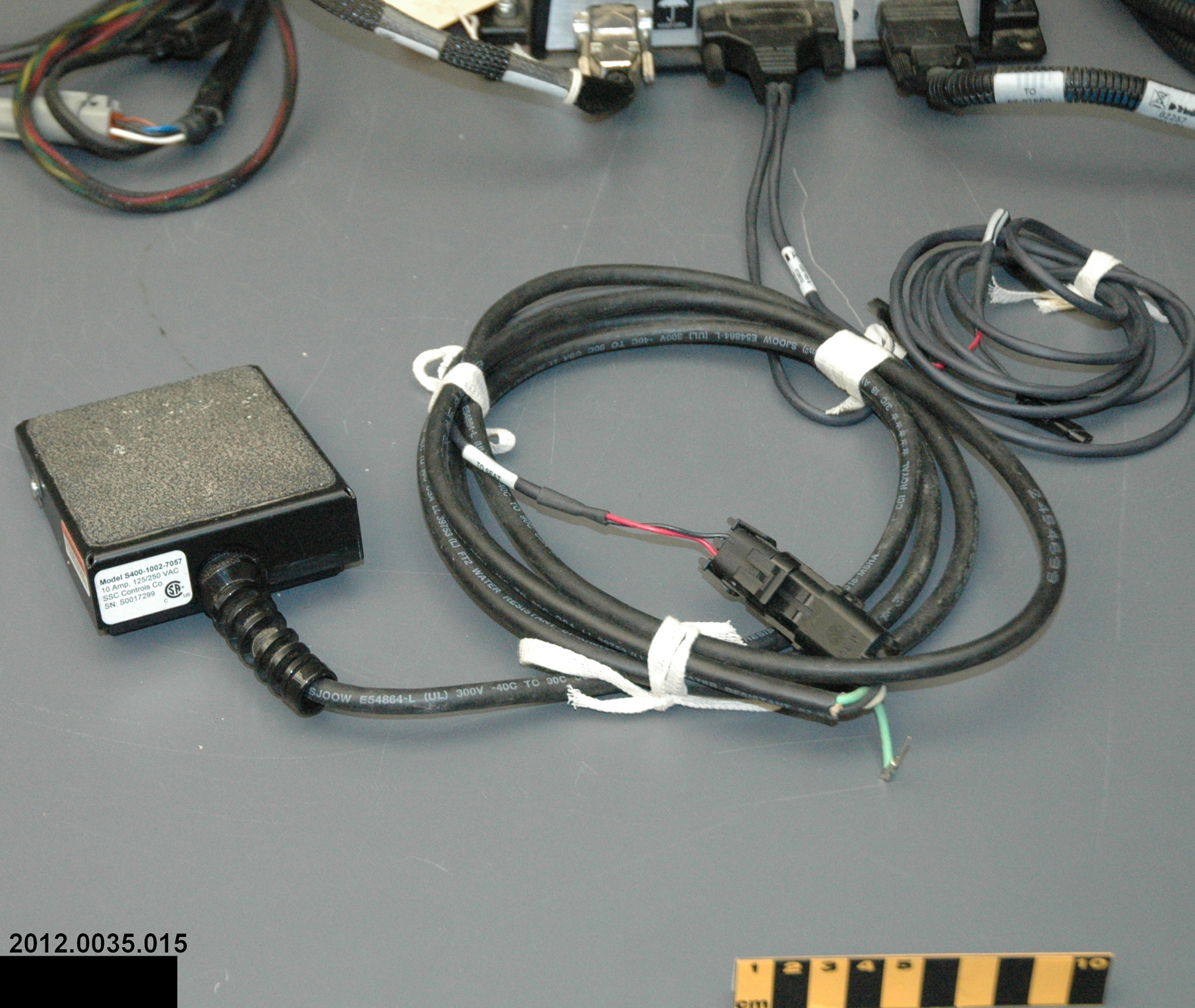
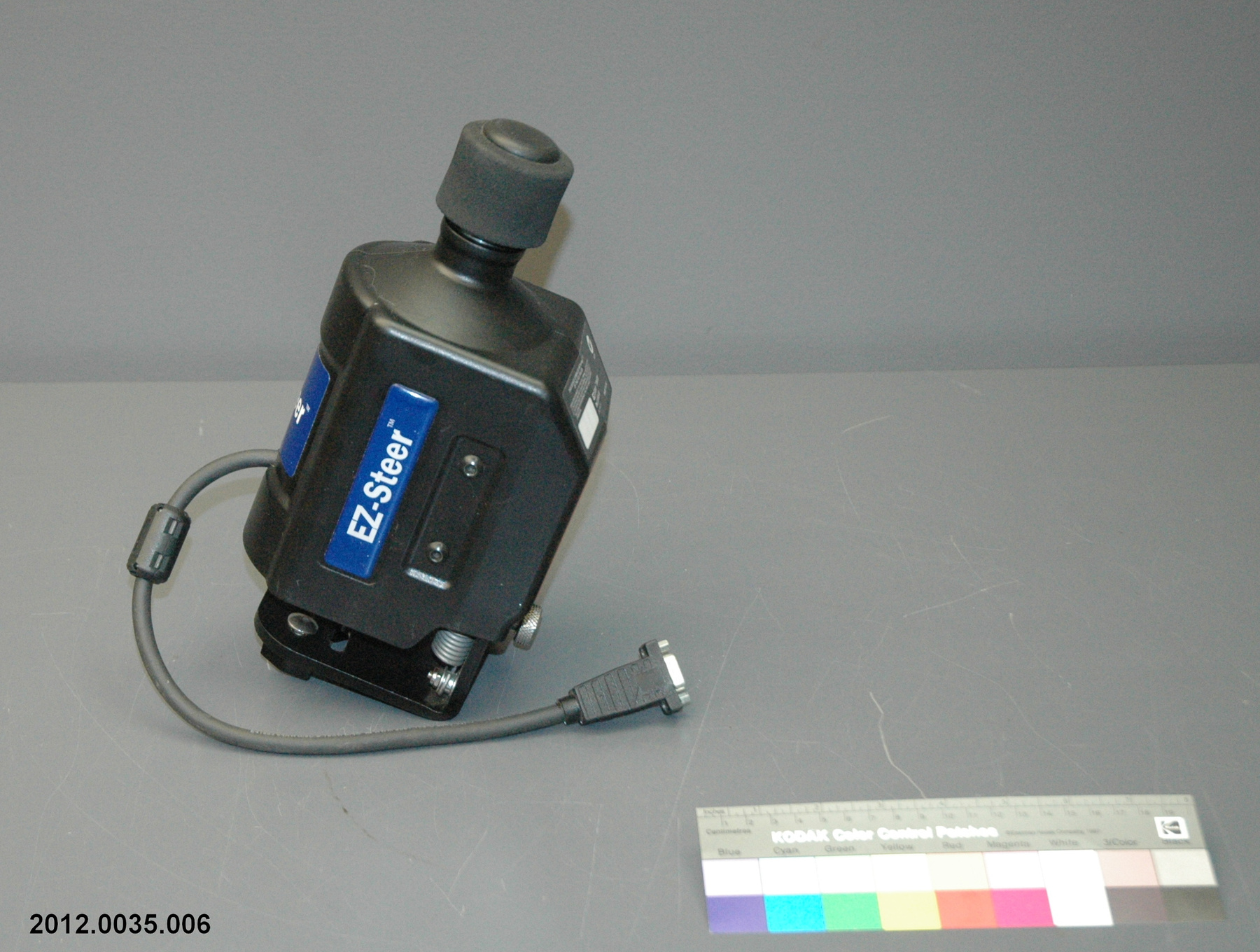
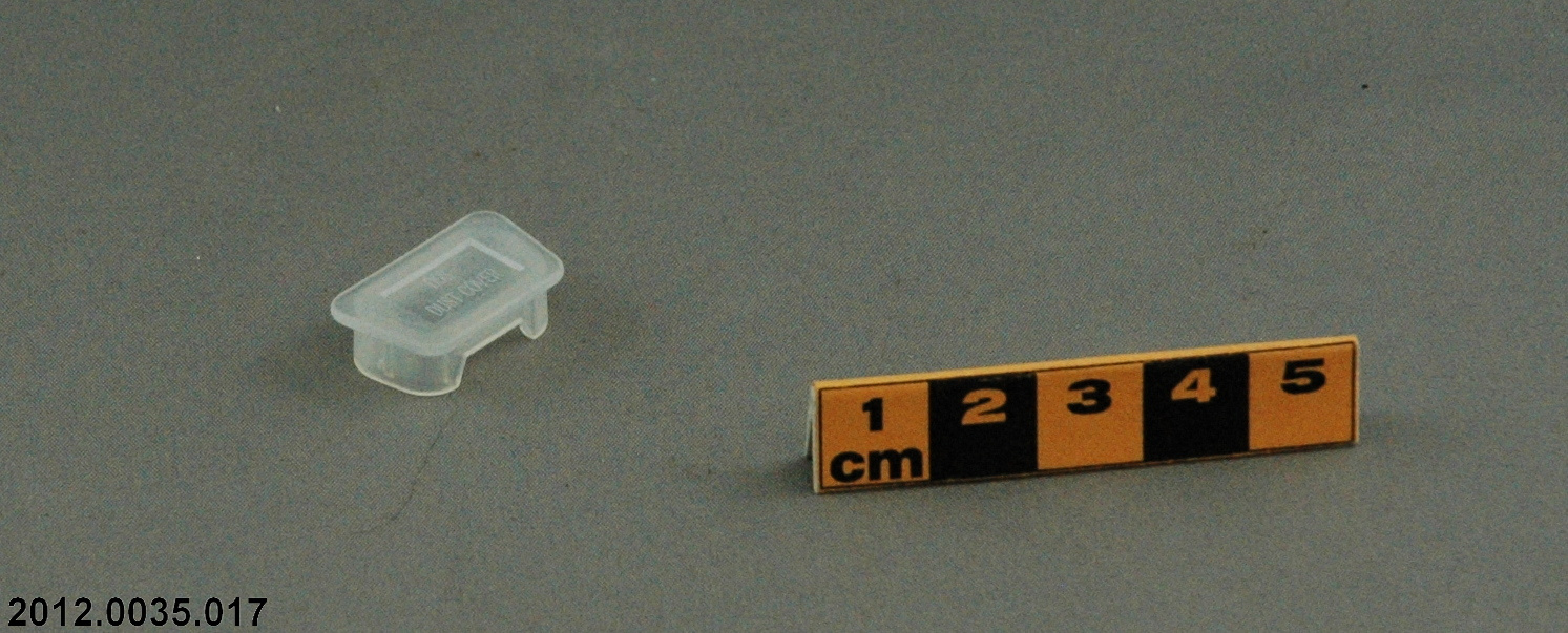
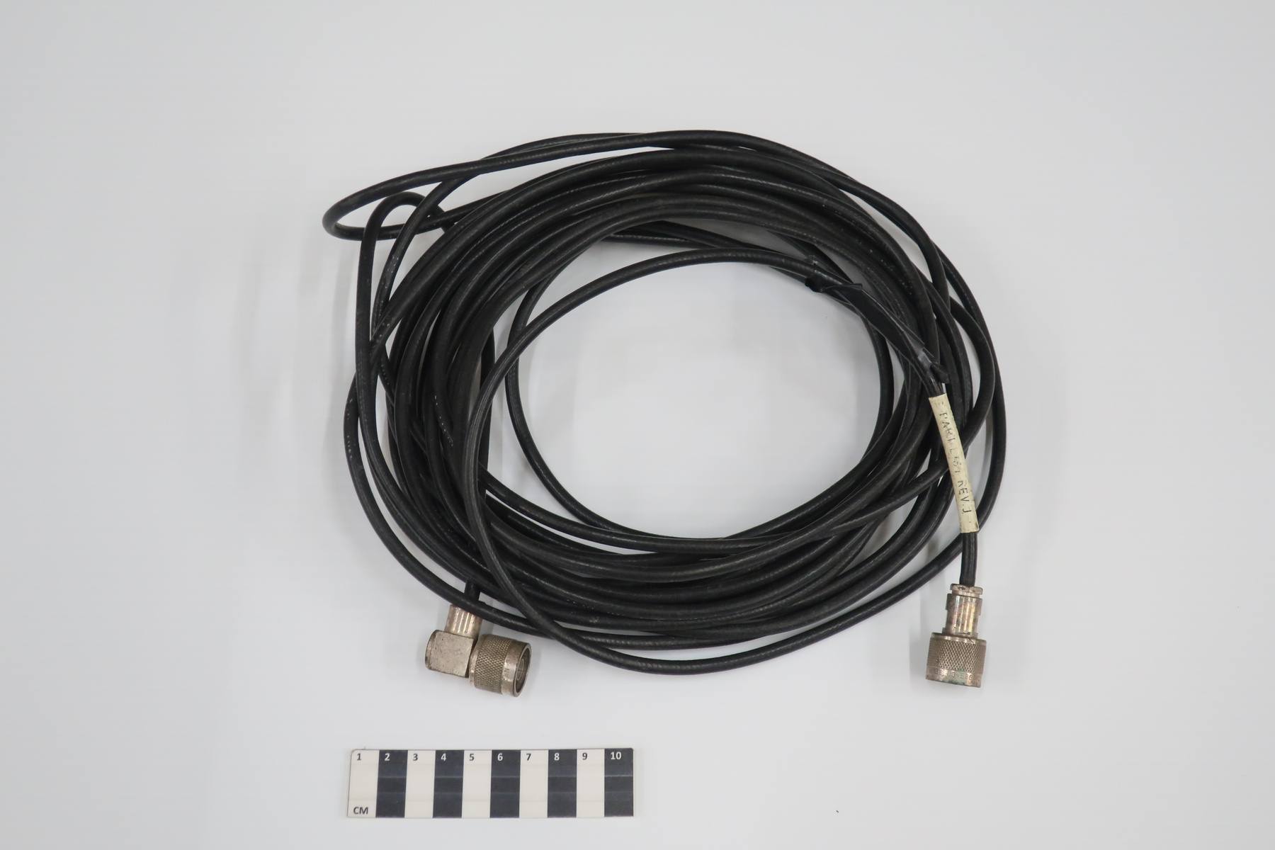
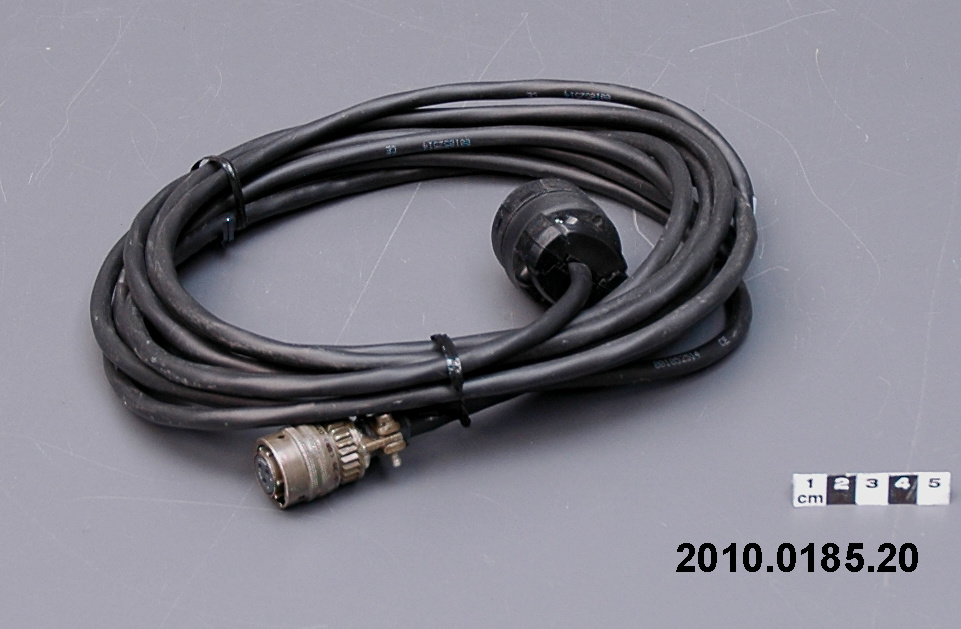
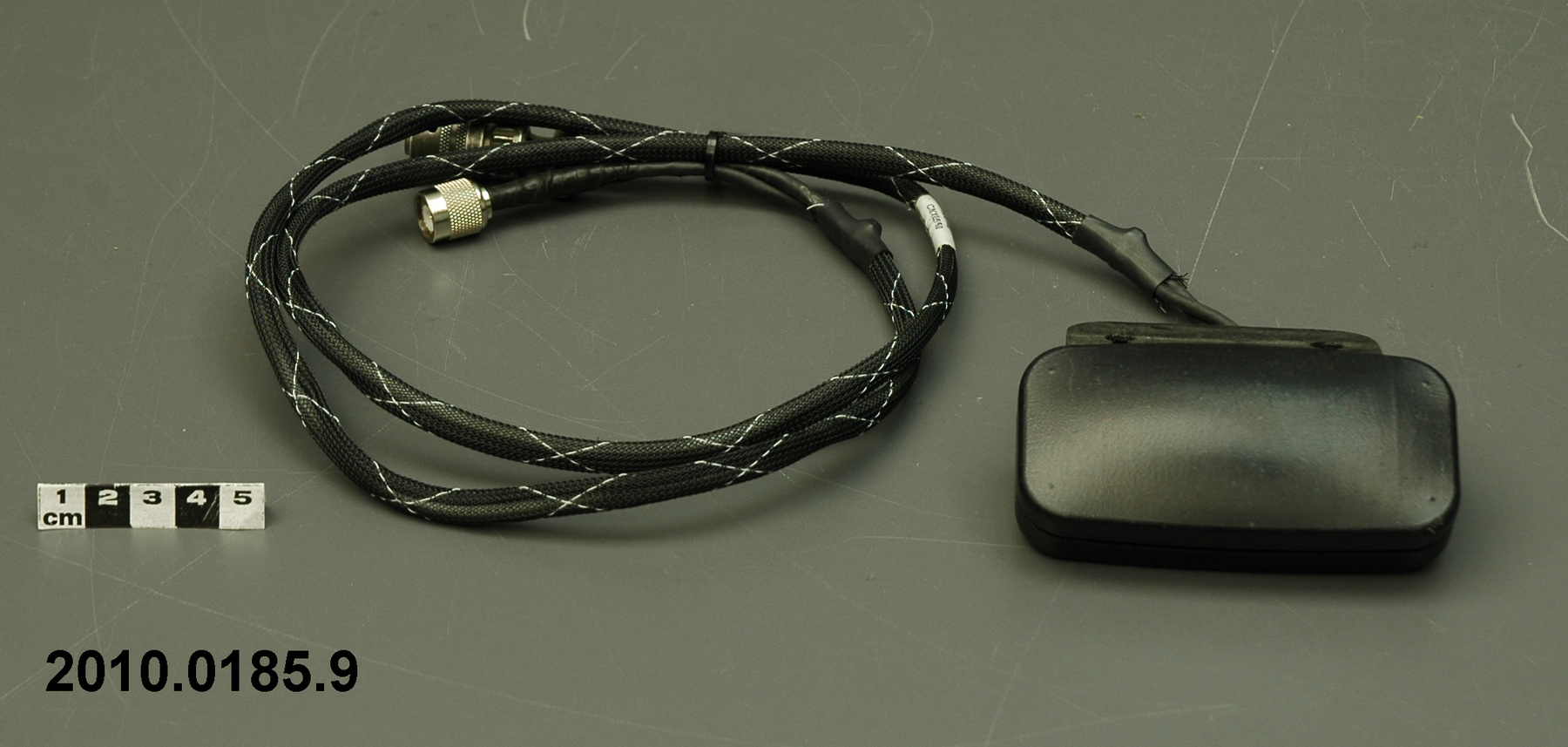
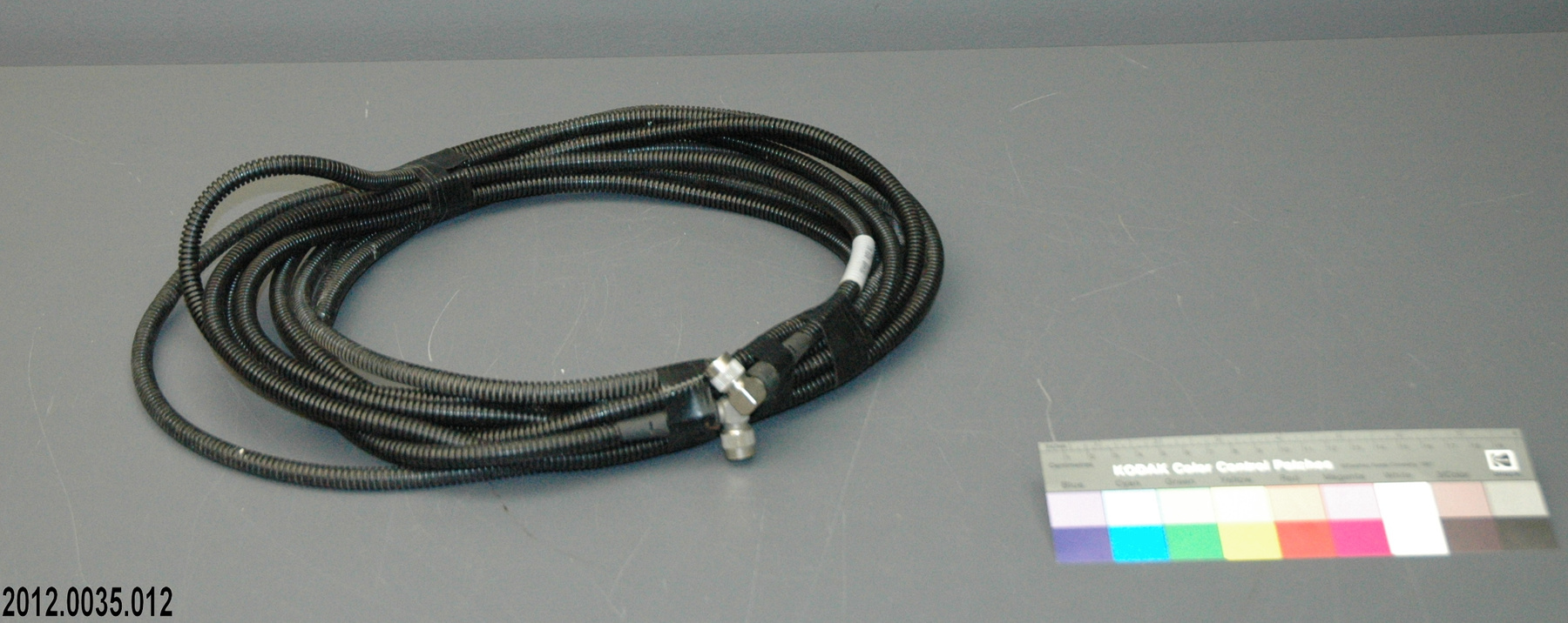
Cable
Use this image
Can I reuse this image without permission? Yes
Object images on the Ingenium Collection’s portal have the following Creative Commons license:
Copyright Ingenium / CC BY-NC-ND (Attribution-NonCommercial 4.0 International (CC BY-NC 4.0)
ATTRIBUTE THIS IMAGE
Ingenium,
2012.0035.012
Permalink:
Ingenium is releasing this image under the Creative Commons licensing framework, and encourages downloading and reuse for non-commercial purposes. Please acknowledge Ingenium and cite the artifact number.
DOWNLOAD IMAGEPURCHASE THIS IMAGE
This image is free for non-commercial use.
For commercial use, please consult our Reproduction Fees and contact us to purchase the image.
- OBJECT TYPE
- antenna
- DATE
- 2010
- ARTIFACT NUMBER
- 2012.0035.012
- MANUFACTURER
- Trimble Navigation Lt.
- MODEL
- Unknown
- LOCATION
- Sunnyvale, California, United States of America
More Information
General Information
- Serial #
- N/A
- Part Number
- 12
- Total Parts
- 20
- AKA
- N/A
- Patents
- N/A
- General Description
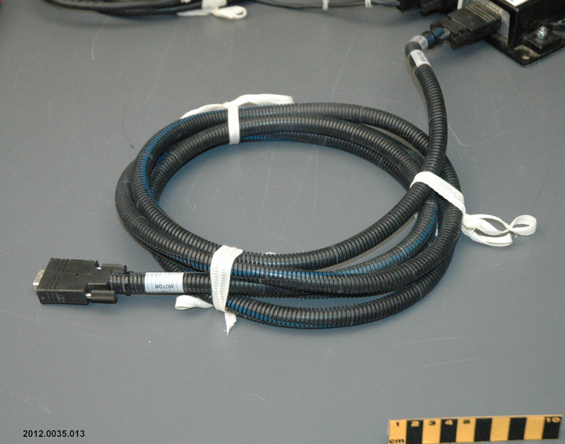
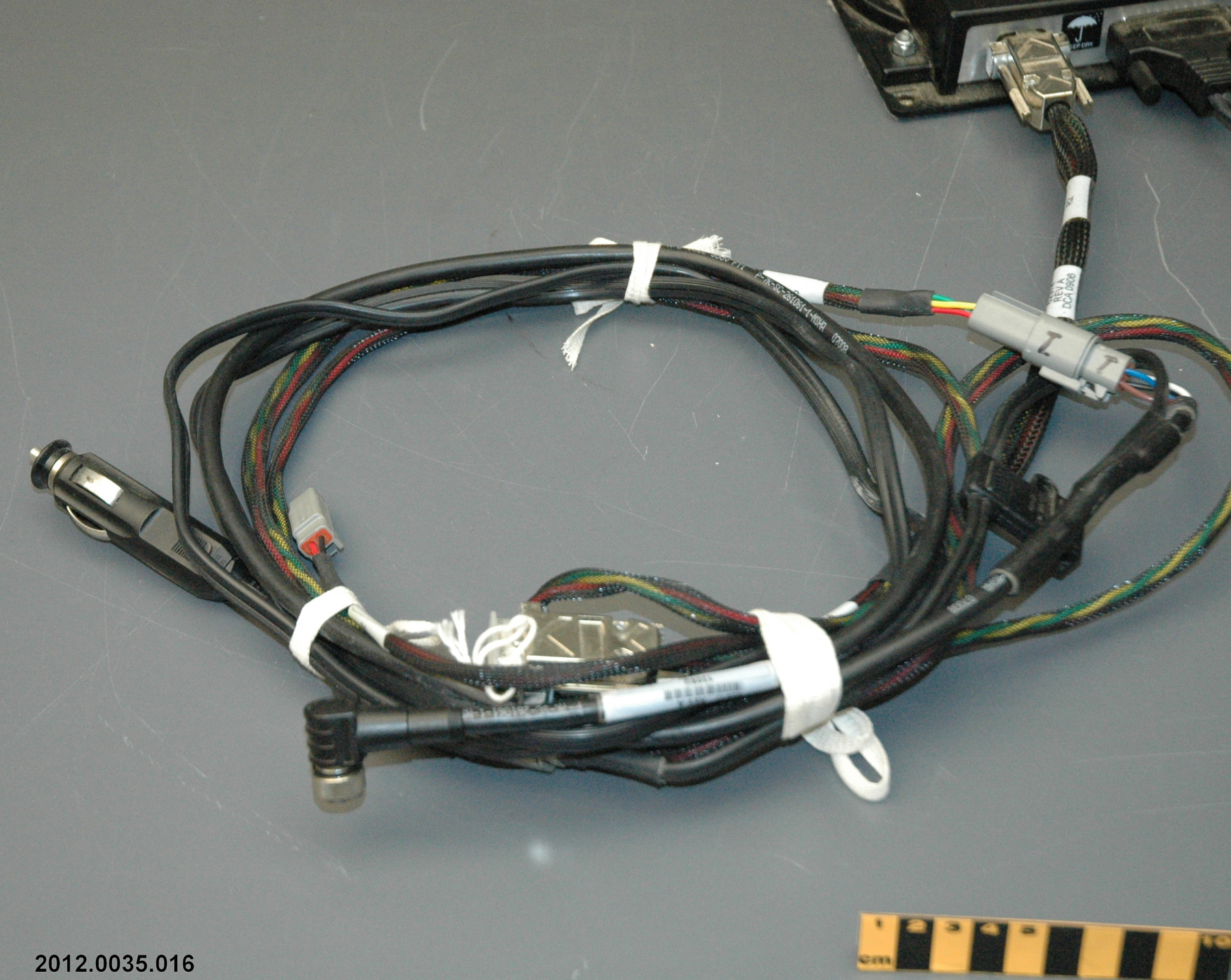
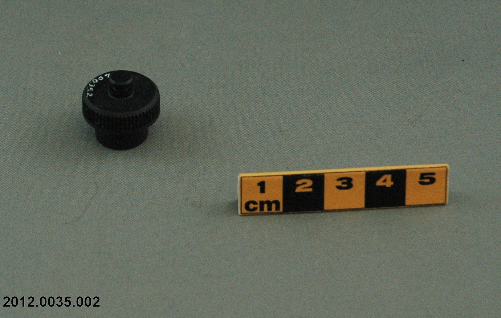
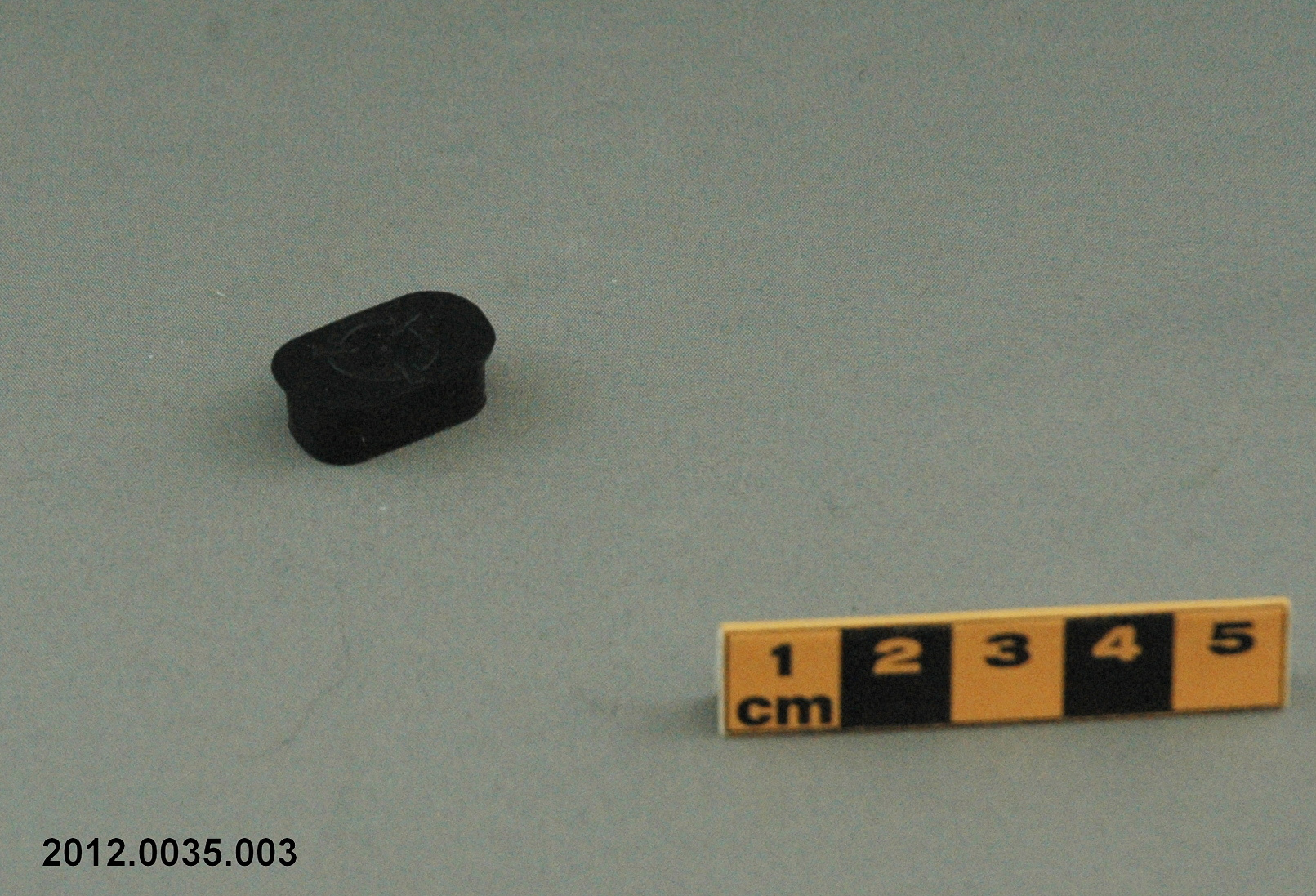
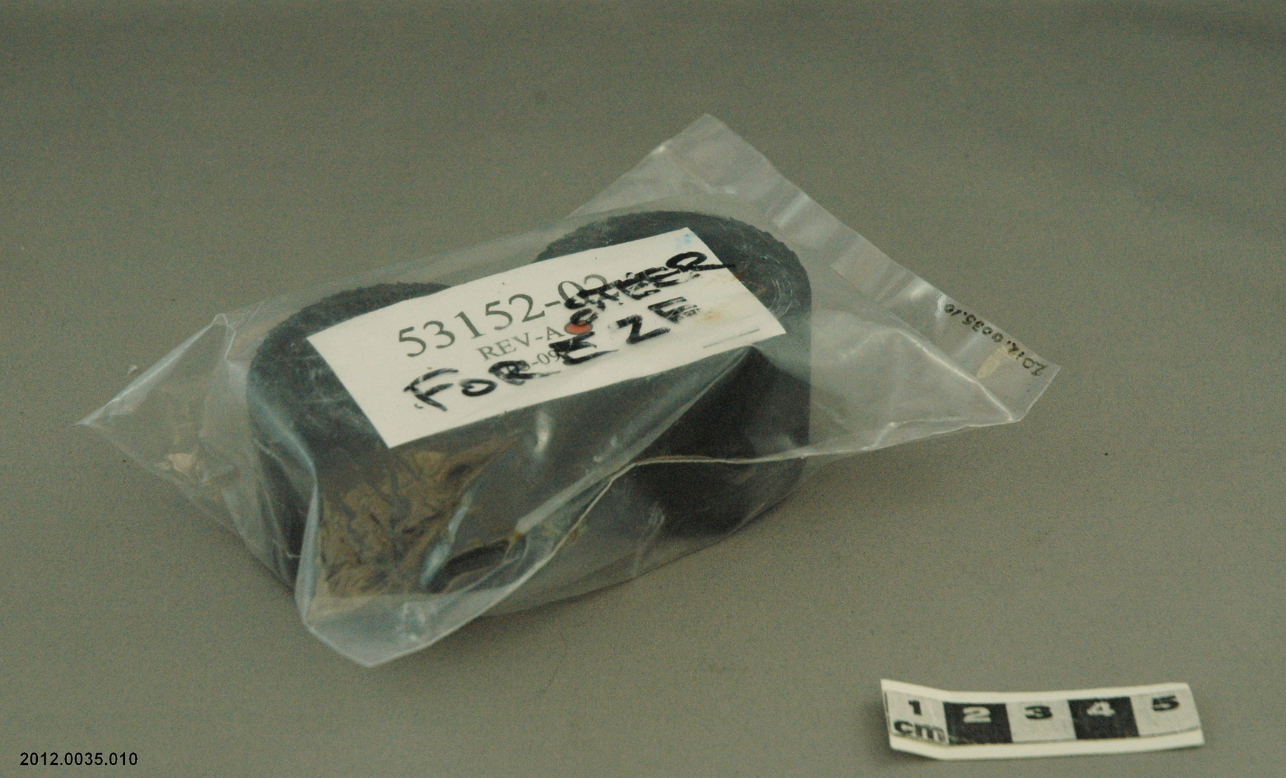
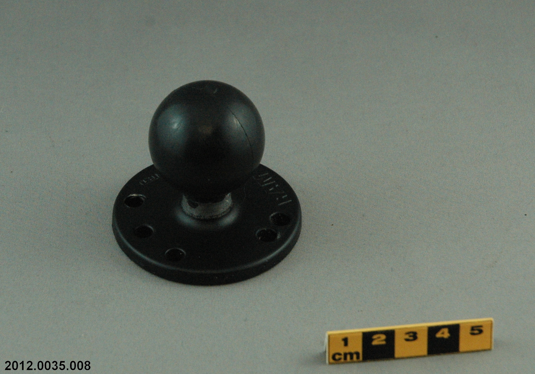
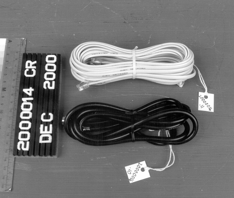
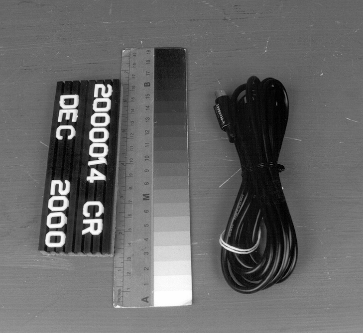
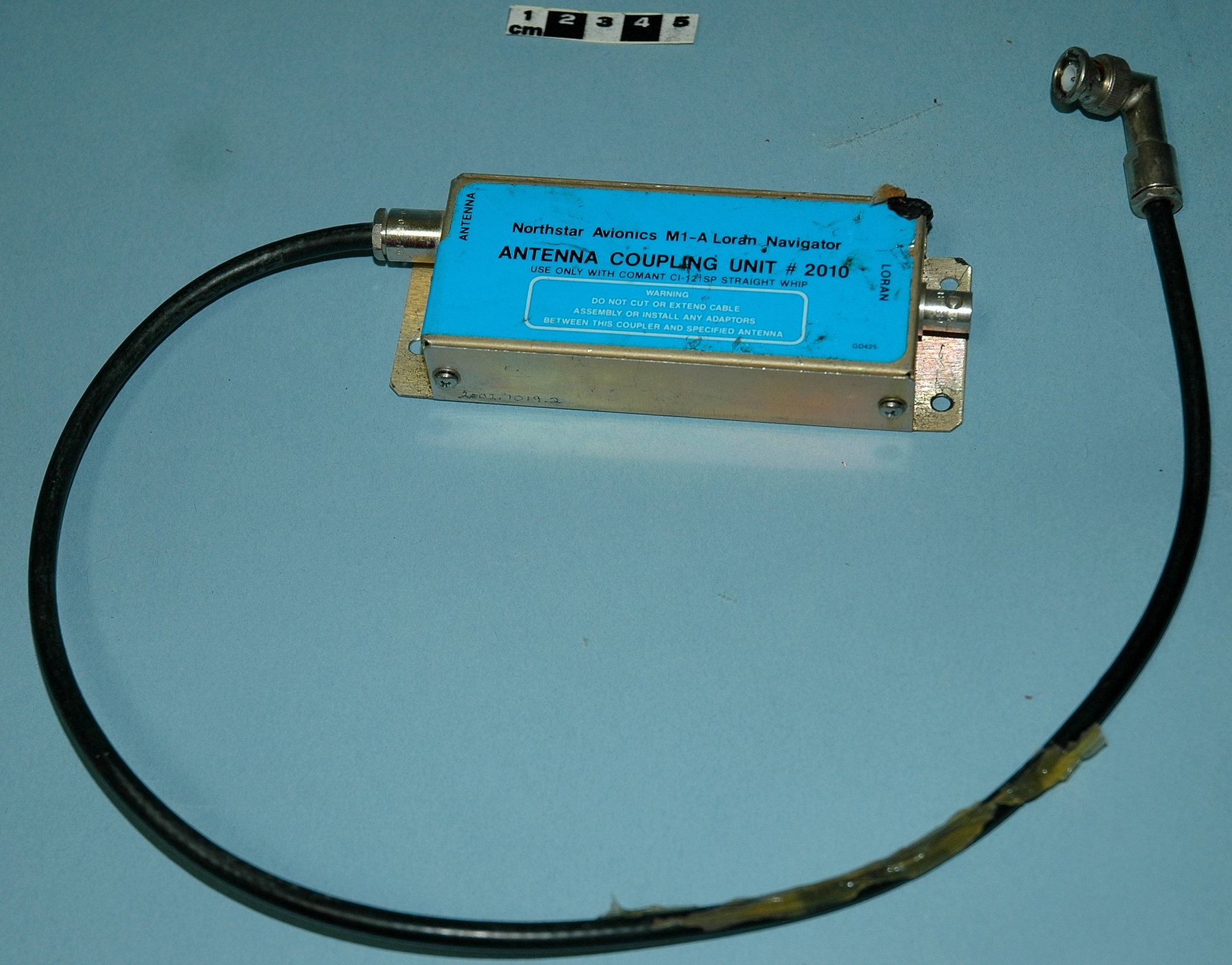
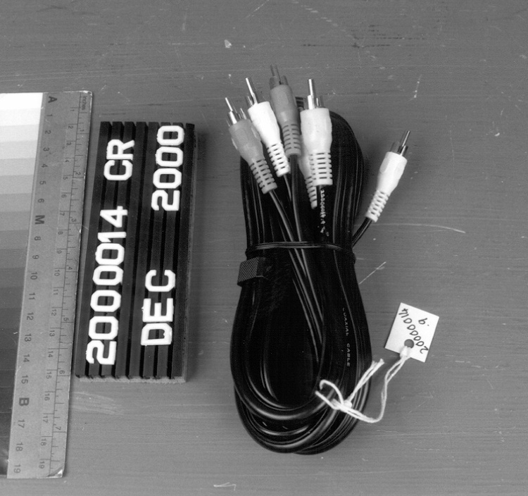
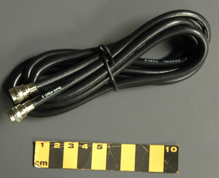
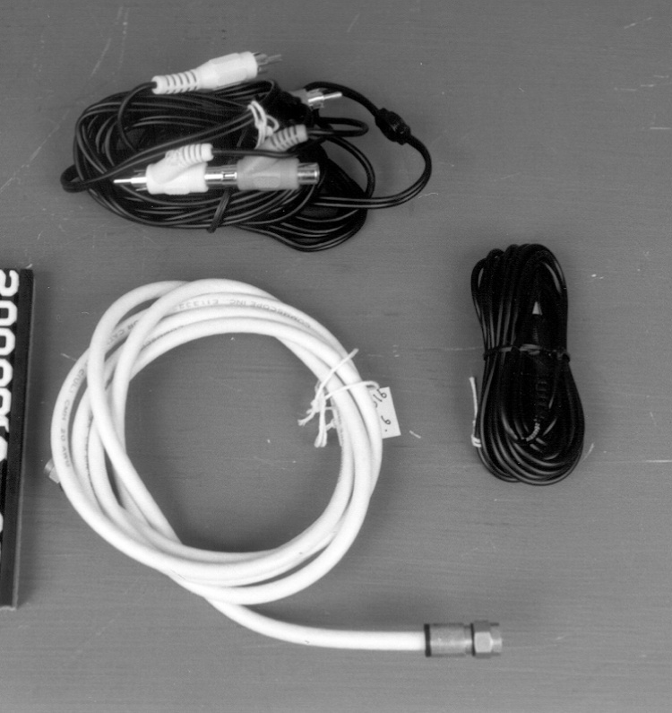
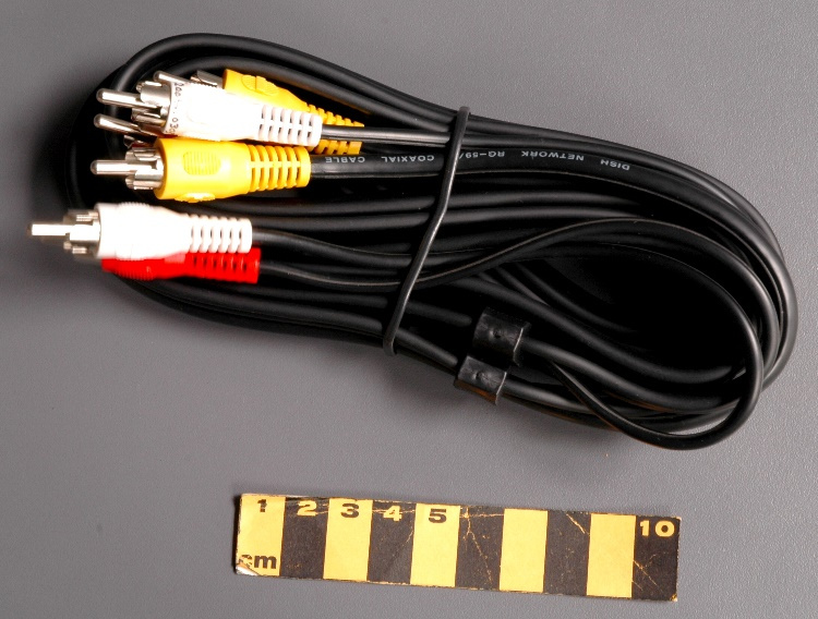
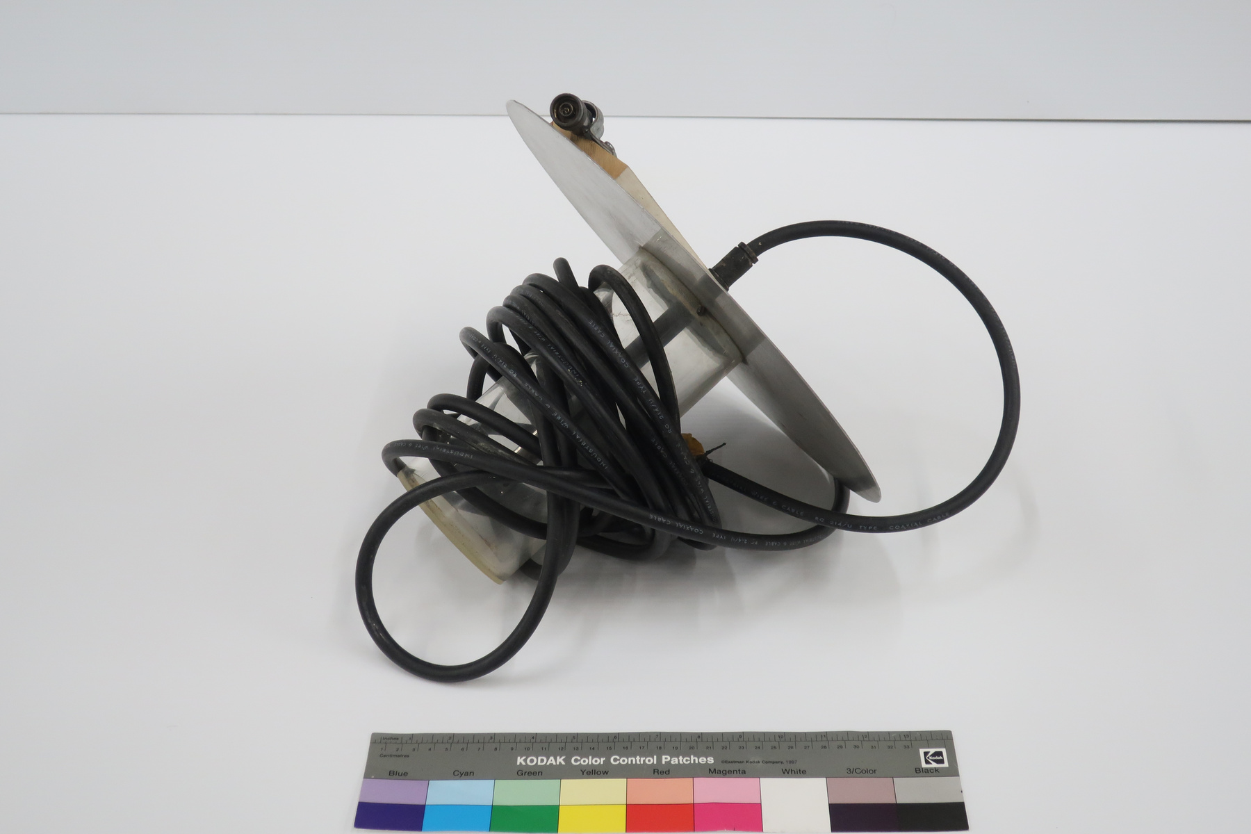
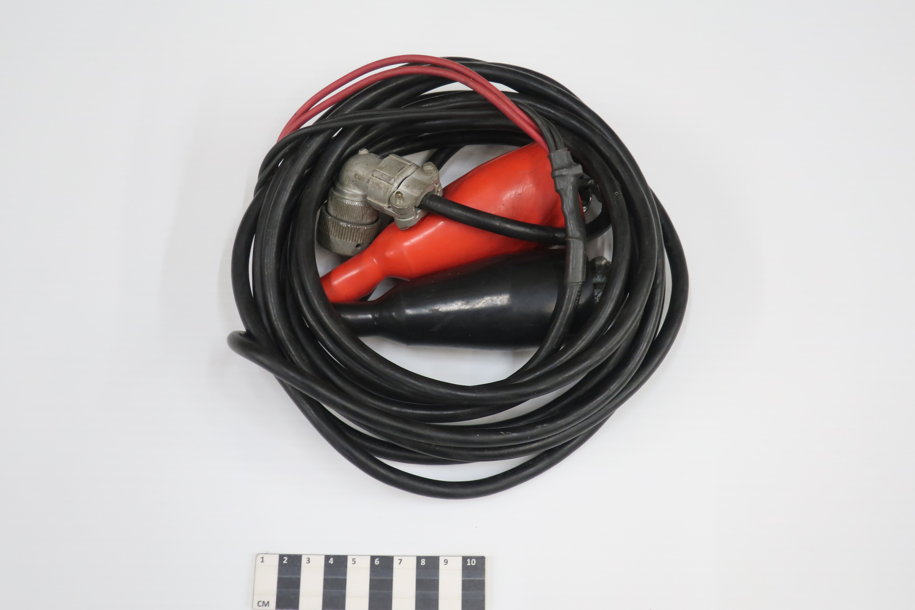
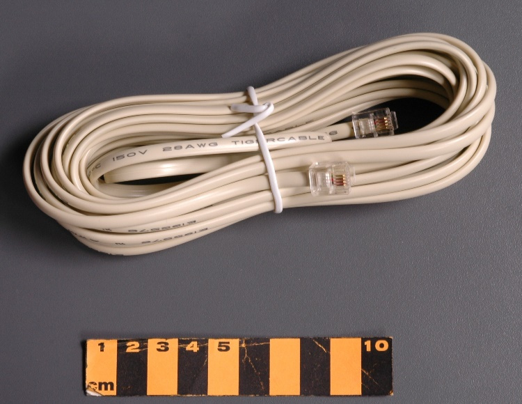
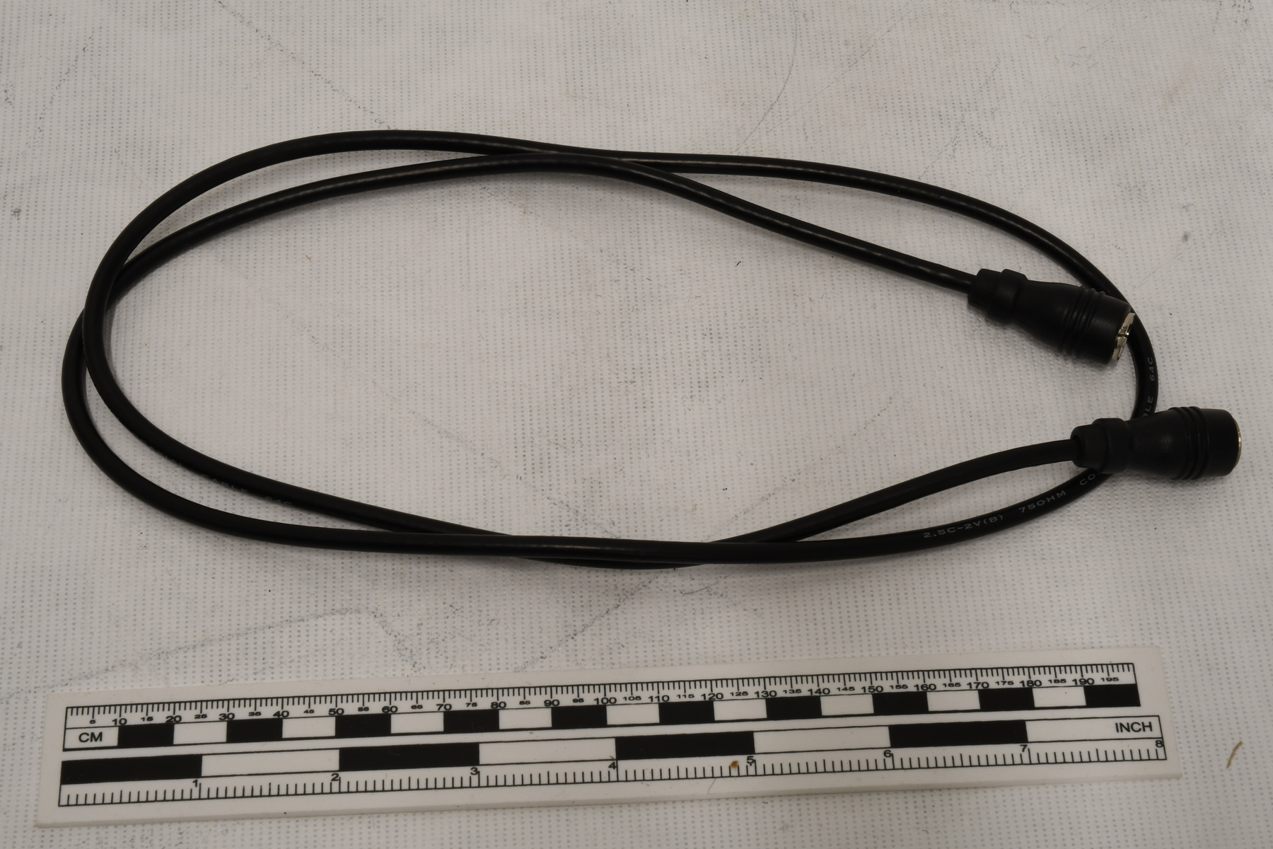
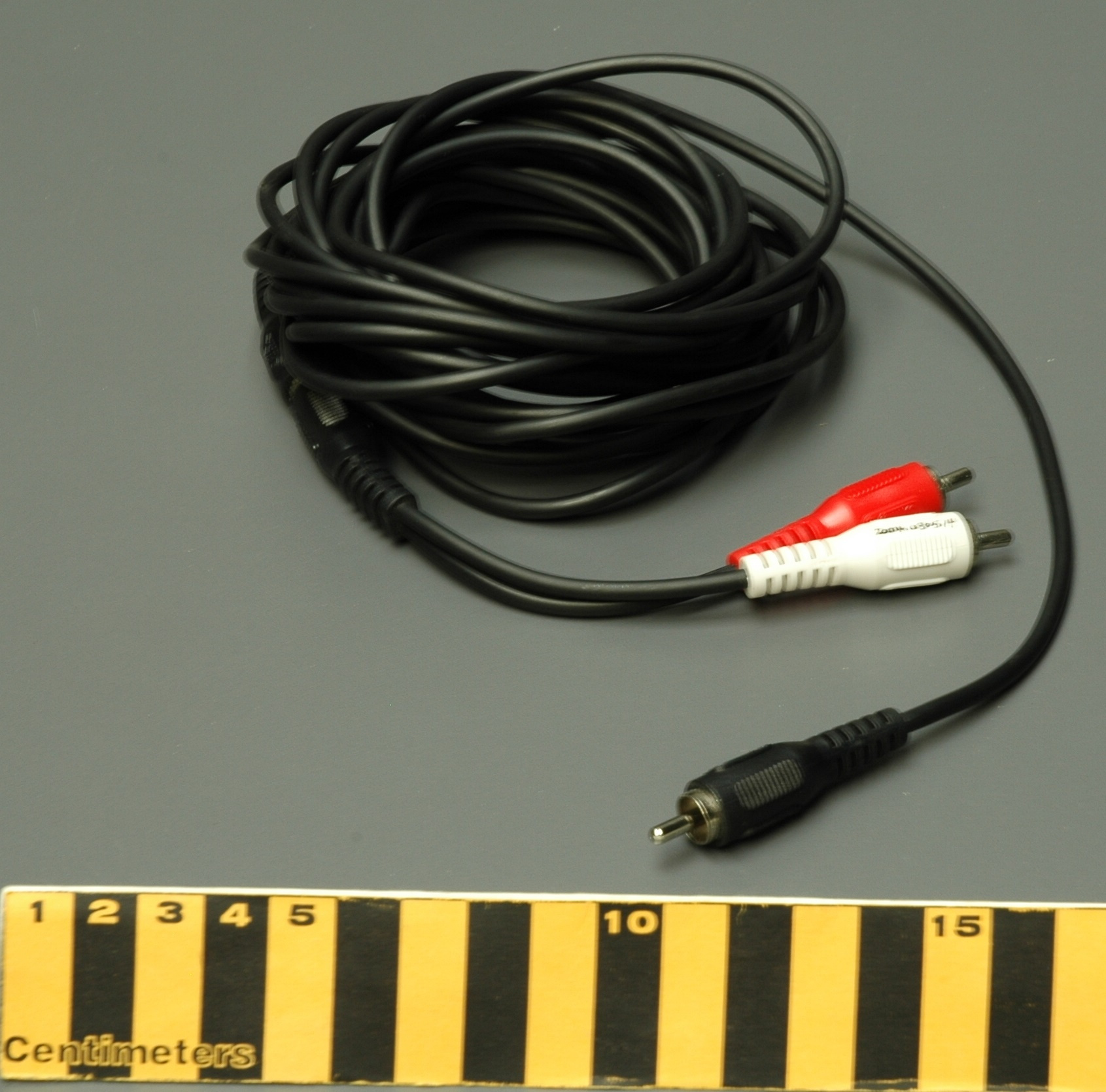
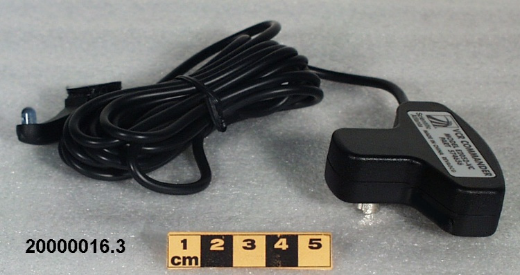
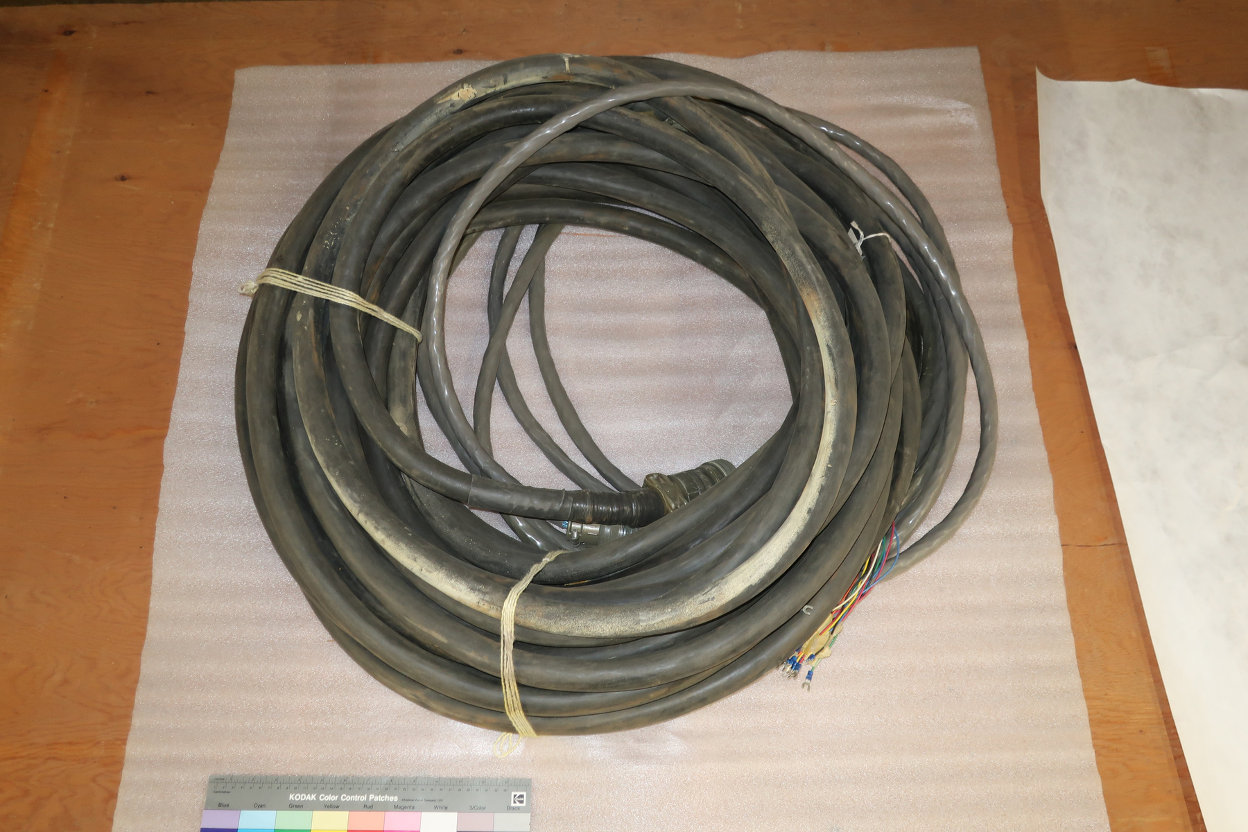
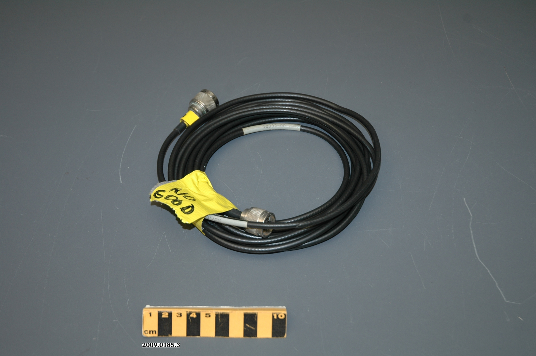
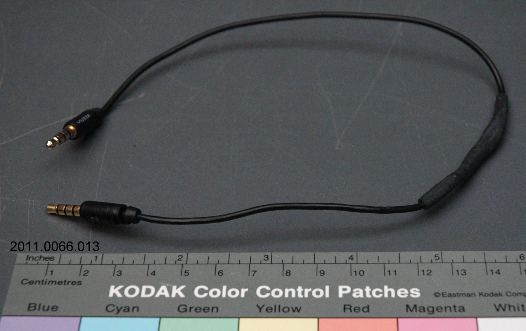
- A synthetic cable with metal connectors for the antenna and the GPS.
Dimensions
Note: These reflect the general size for storage and are not necessarily representative of the object's true dimensions.
- Length
- N/A
- Width
- N/A
- Height
- 5.5 cm
- Thickness
- N/A
- Weight
- N/A
- Diameter
- 97.0 cm
- Volume
- N/A
Lexicon
- Group
- Agriculture
- Category
- Power sources
- Sub-Category
- N/A
Manufacturer
- AKA
- Trimble
- Country
- United States of America
- State/Province
- California
- City
- Sunnyvale
Context
- Country
- Canada
- State/Province
- Ontario
- Period
- 2010+
- Canada
-
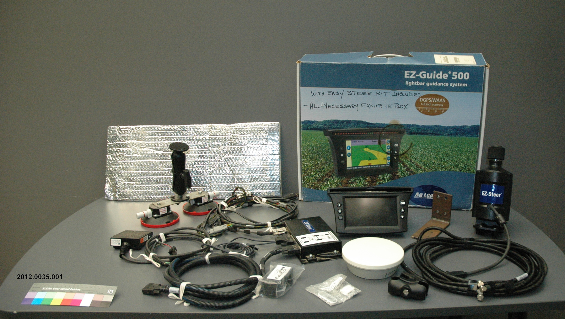
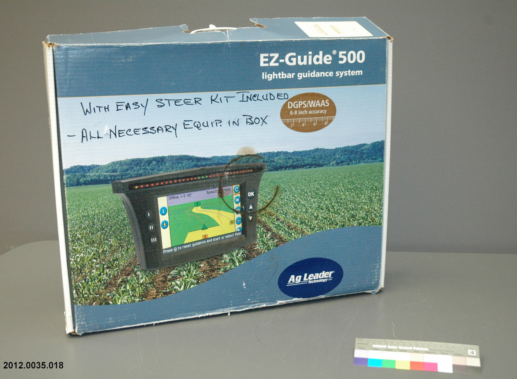
The Smiths used the two devices on their mixed field crop operation outside of Port Colborne, Ontario where they grew mostly corn and soy beans for sale to livestock feed suppliers. They have farmed in the area for about the past fifty years. Specifically it was used on their John Deere 7800 series tractor and either their Tyler Patriot or Argo-Trend self-propelled sprayers. Mr. Smith also used the technology in his custom planting. - Function
-
The cable connects the antenna to the GPS. - Technical
-
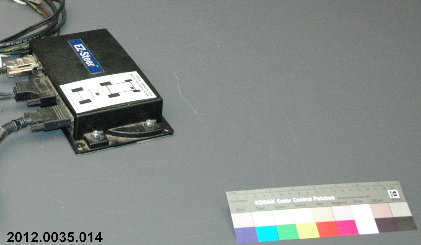
It uses satellite technology to map the fields in which the implement is working. The cab is outfitted with an antenna to receive these signals and the unit collects that material in its "brain". Trimble touts the unit as allowing longer operating days as the normal visual control required during seeding and spraying can be replaced by the combination of the GPS and Auto-Steering attachments. The guidance system is equipped so that records can be transferred via USB to a PC for long term storage on its hard drive. When mounted in, the implement a small screen displays the field position in relation to data that either has been stored or is currently being received from a satellite. According to Trimble sales material the system has accuracy down to one inch of control. - Area Notes
-
Unknown
Details
- Markings
- Mfr's label:"50449 REV A1/ACT 1008."
- Missing
- Nothing.
- Finish
- A synthetic cable with metal connectors.
- Decoration
- None.
CITE THIS OBJECT
If you choose to share our information about this collection object, please cite:
Trimble Navigation Lt., Cable, circa 2010, Artifact no. 2012.0035, Ingenium – Canada’s Museums of Science and Innovation, http://collections.ingeniumcanada.org/en/id/2012.0035.012/
FEEDBACK
Submit a question or comment about this artifact.
More Like This
