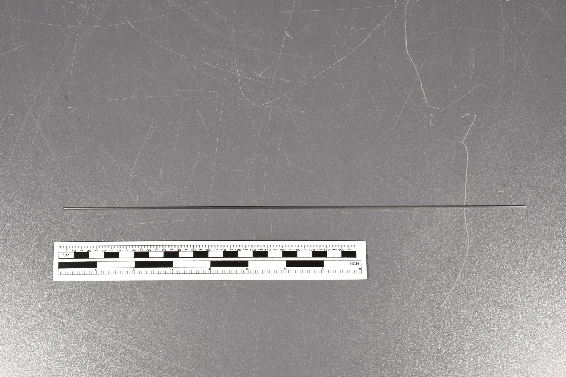
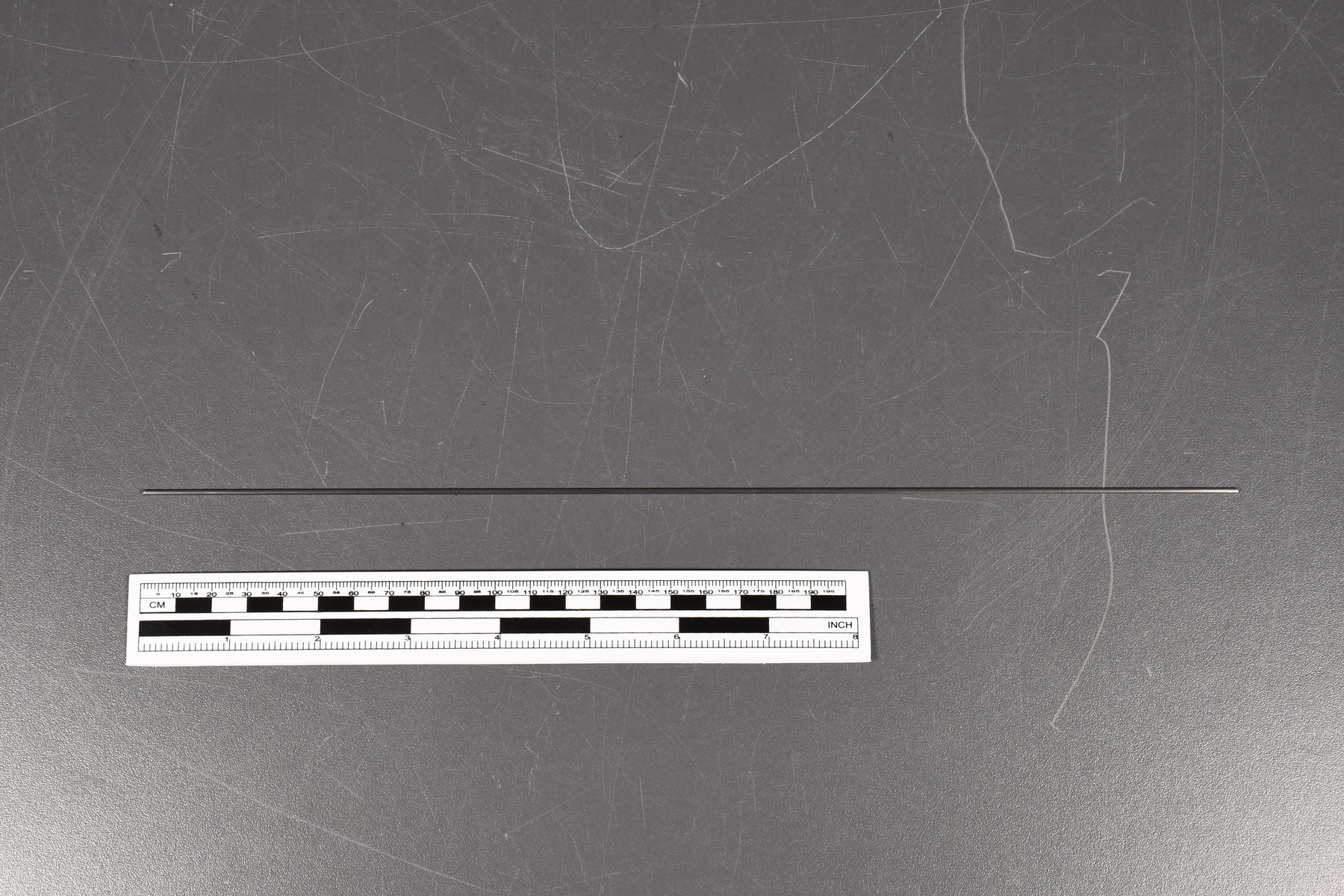
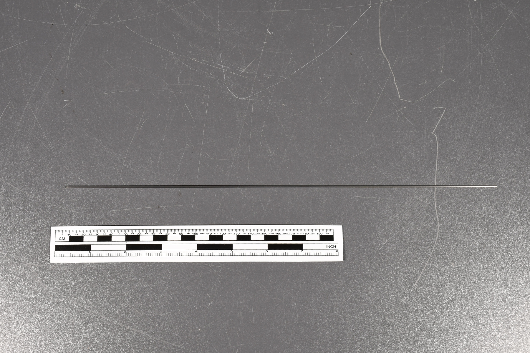
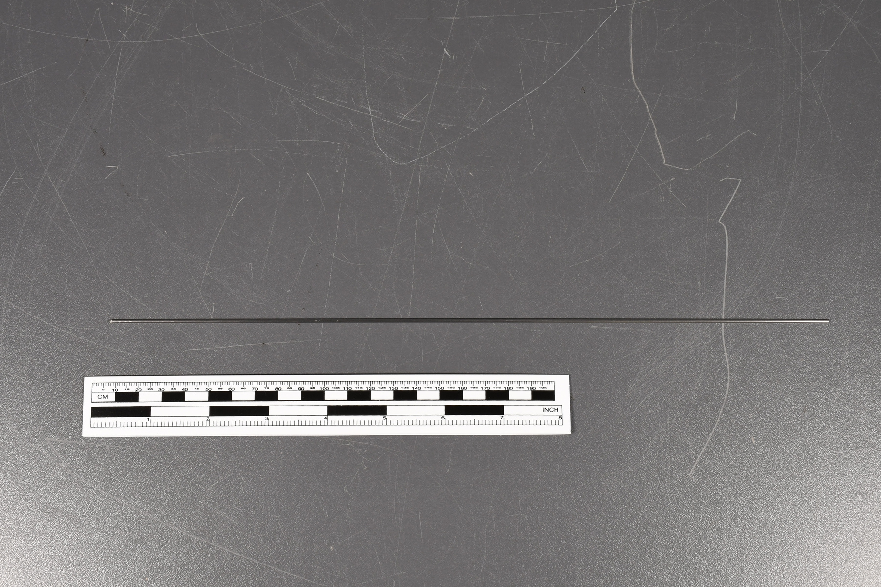
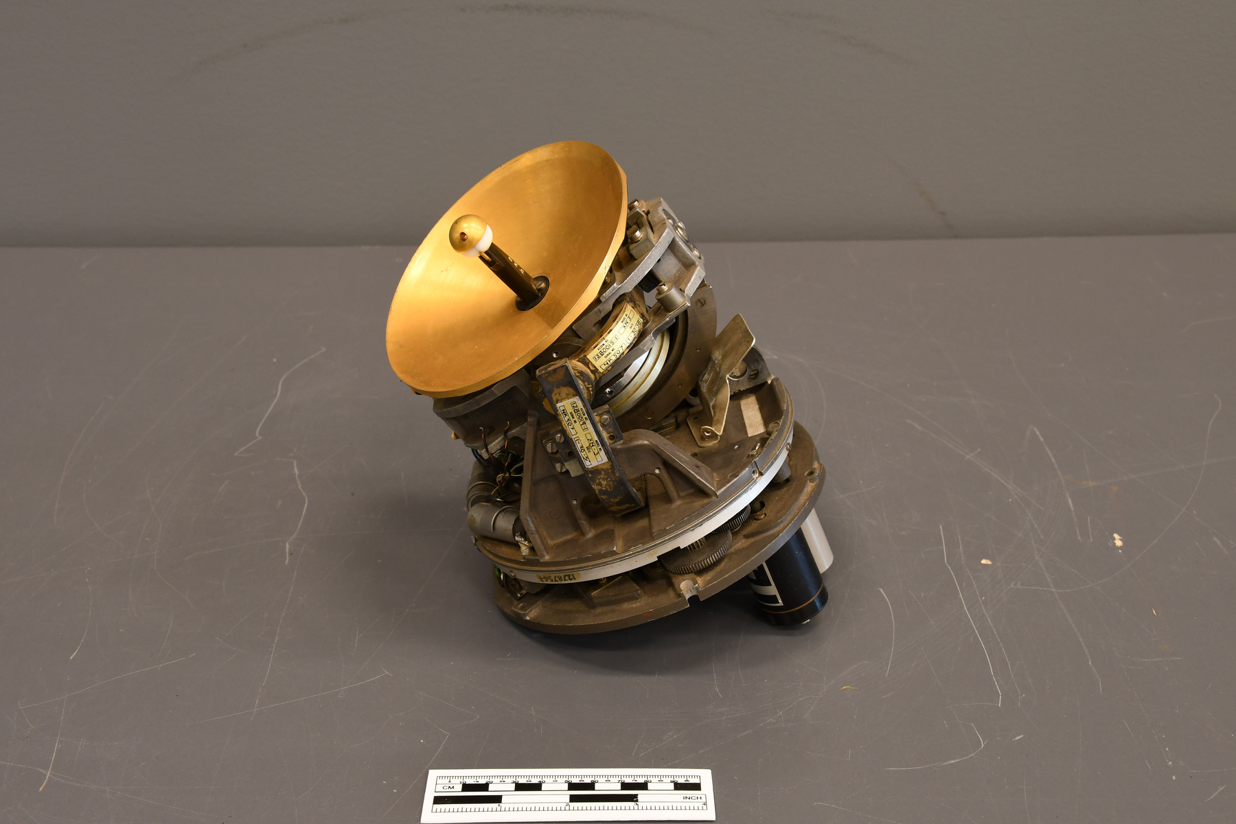
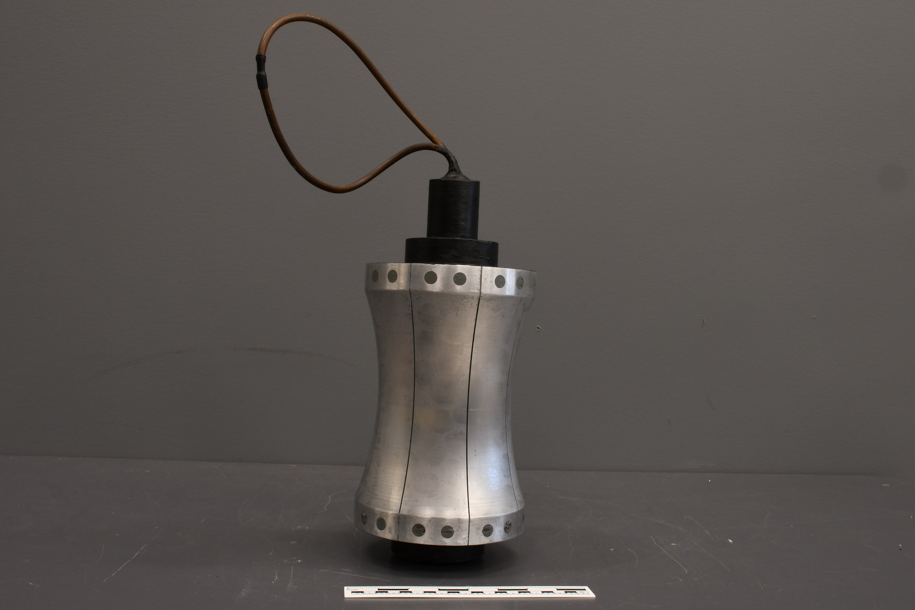
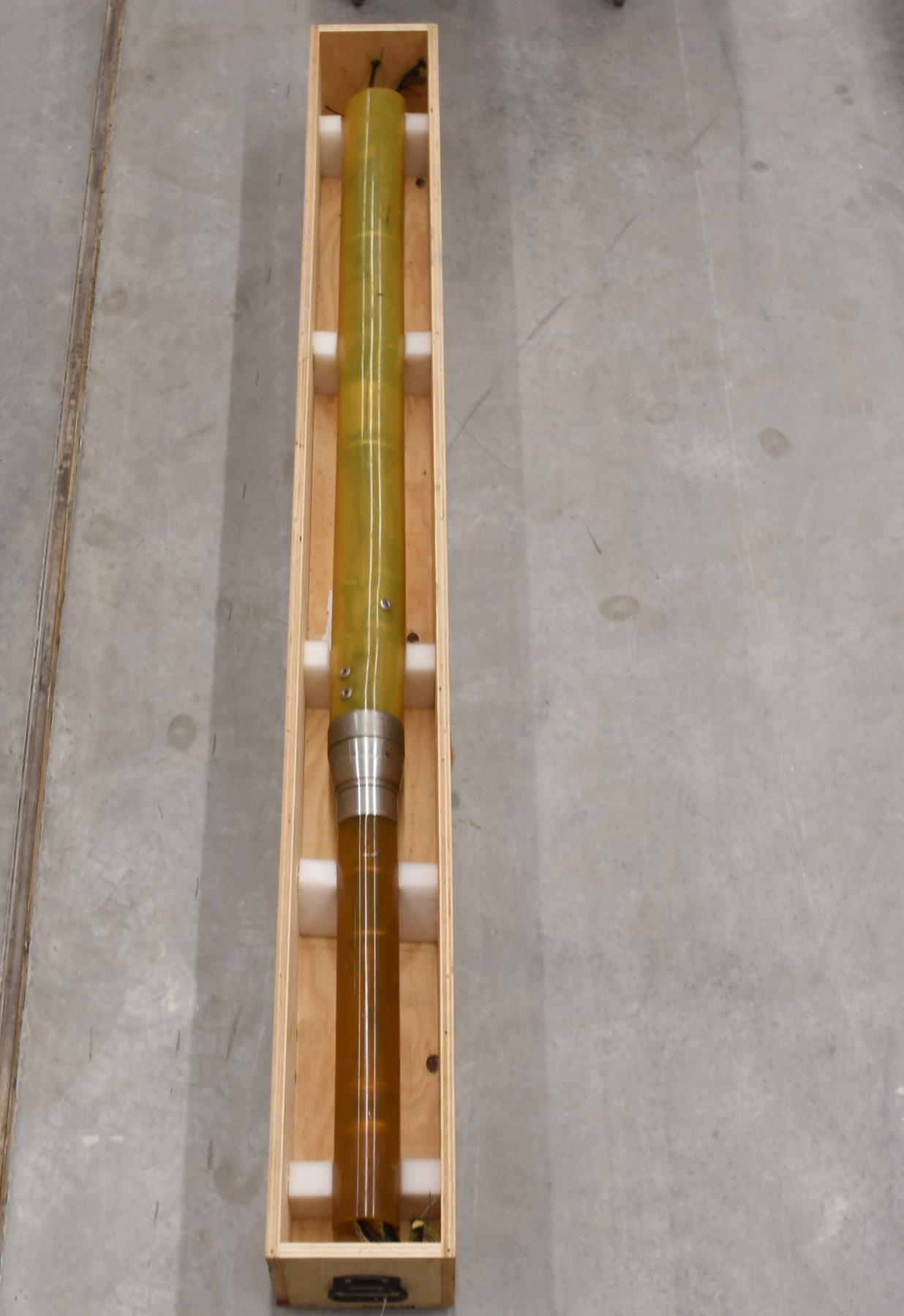
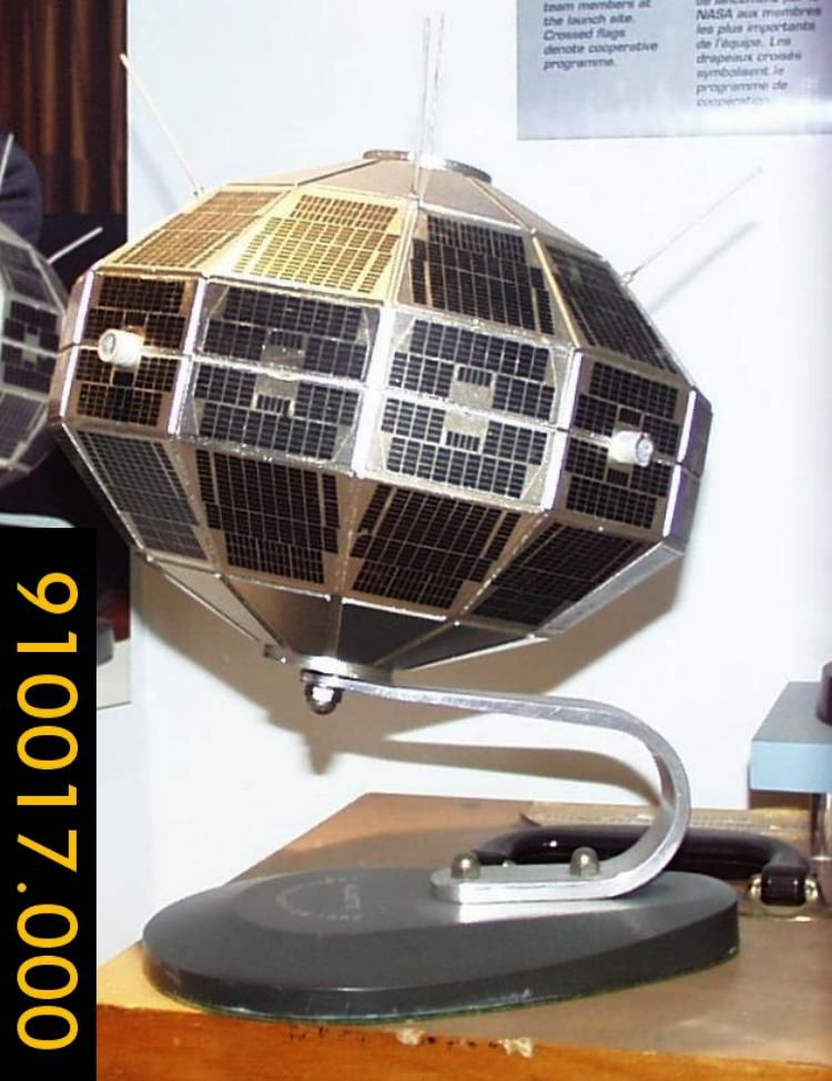
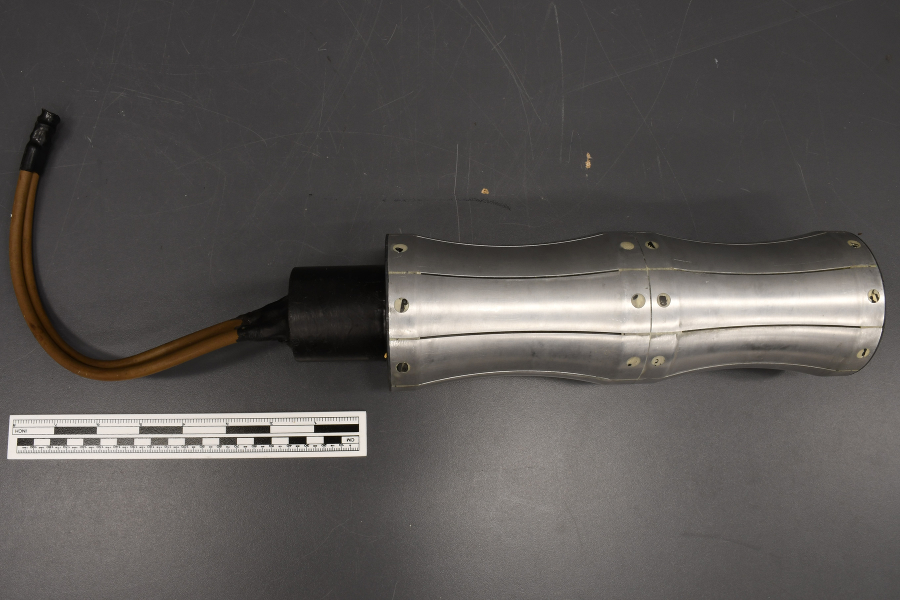
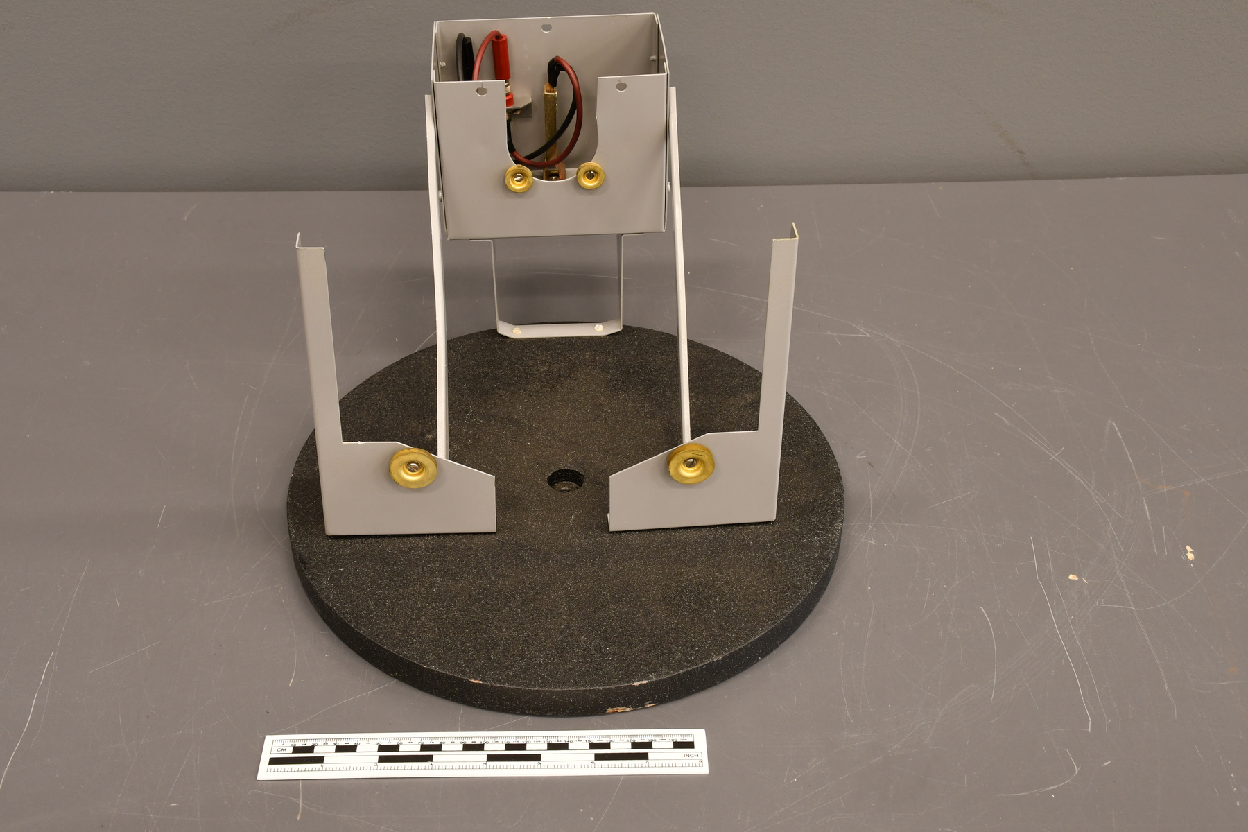
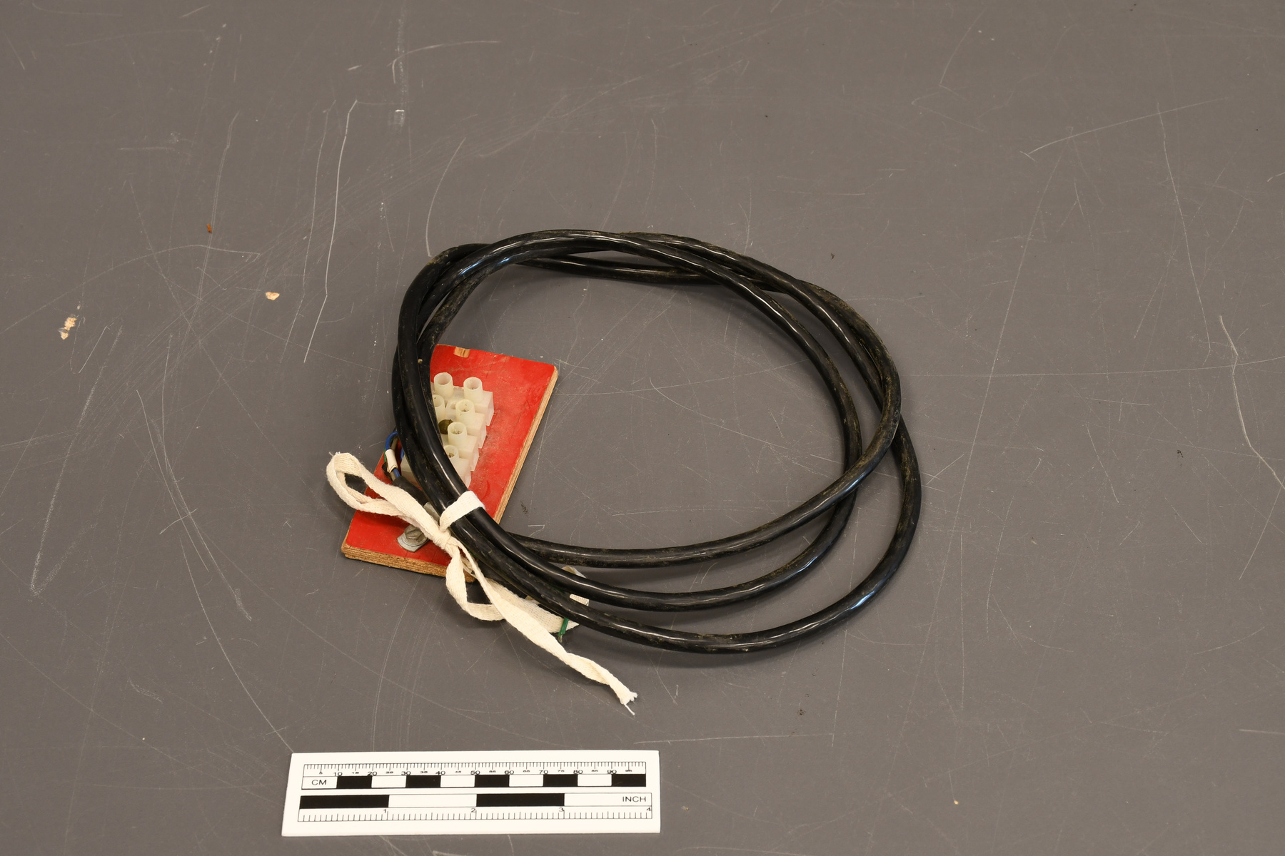
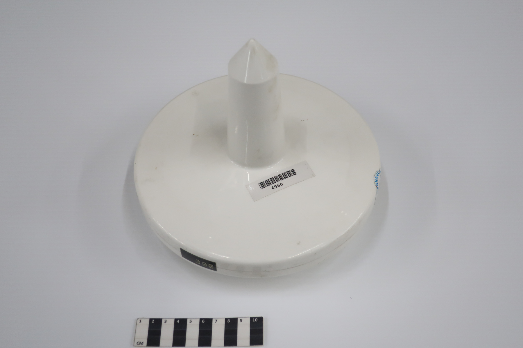
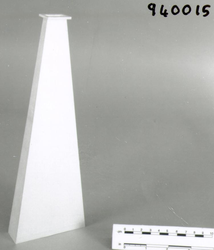
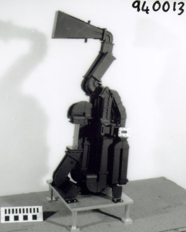
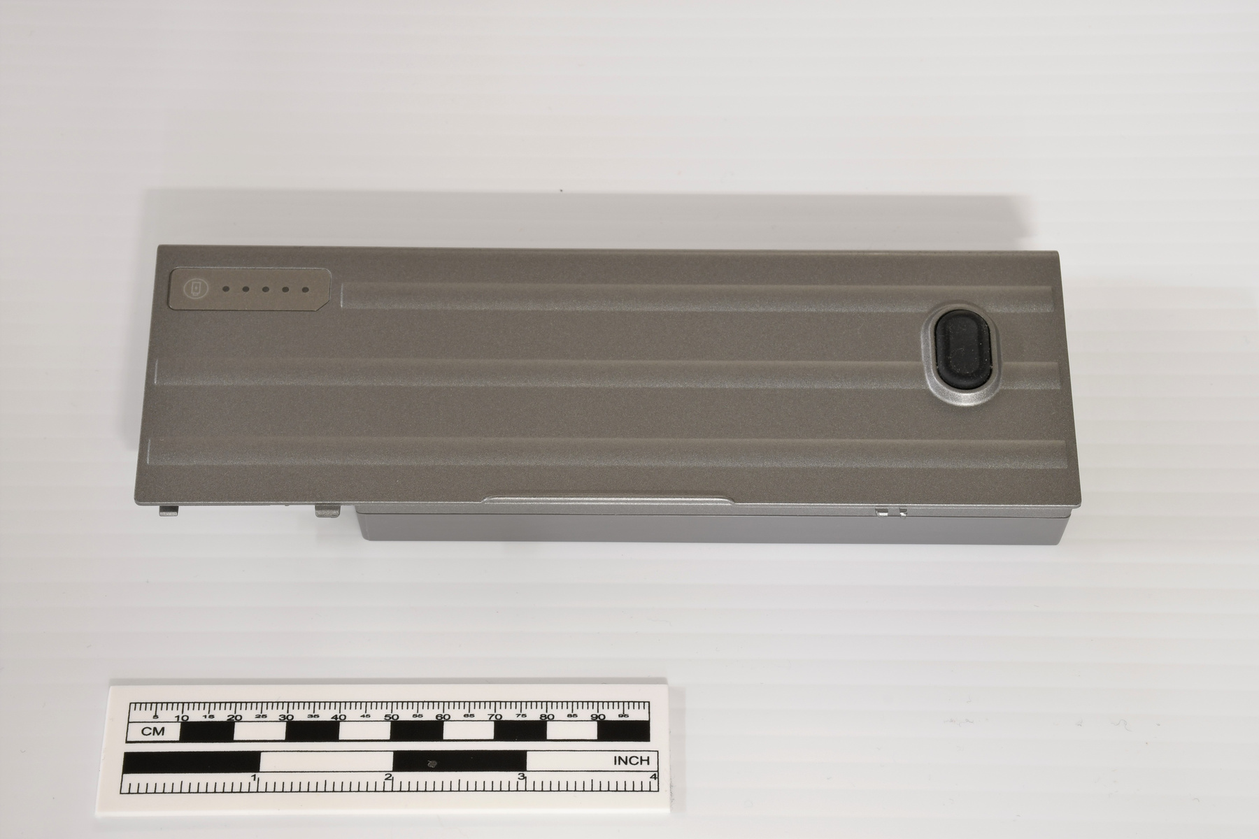
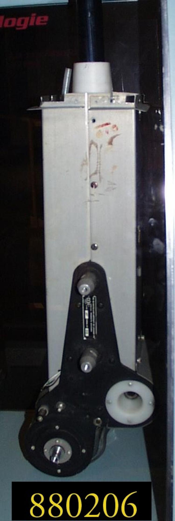
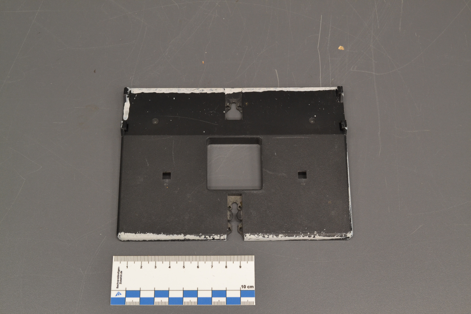
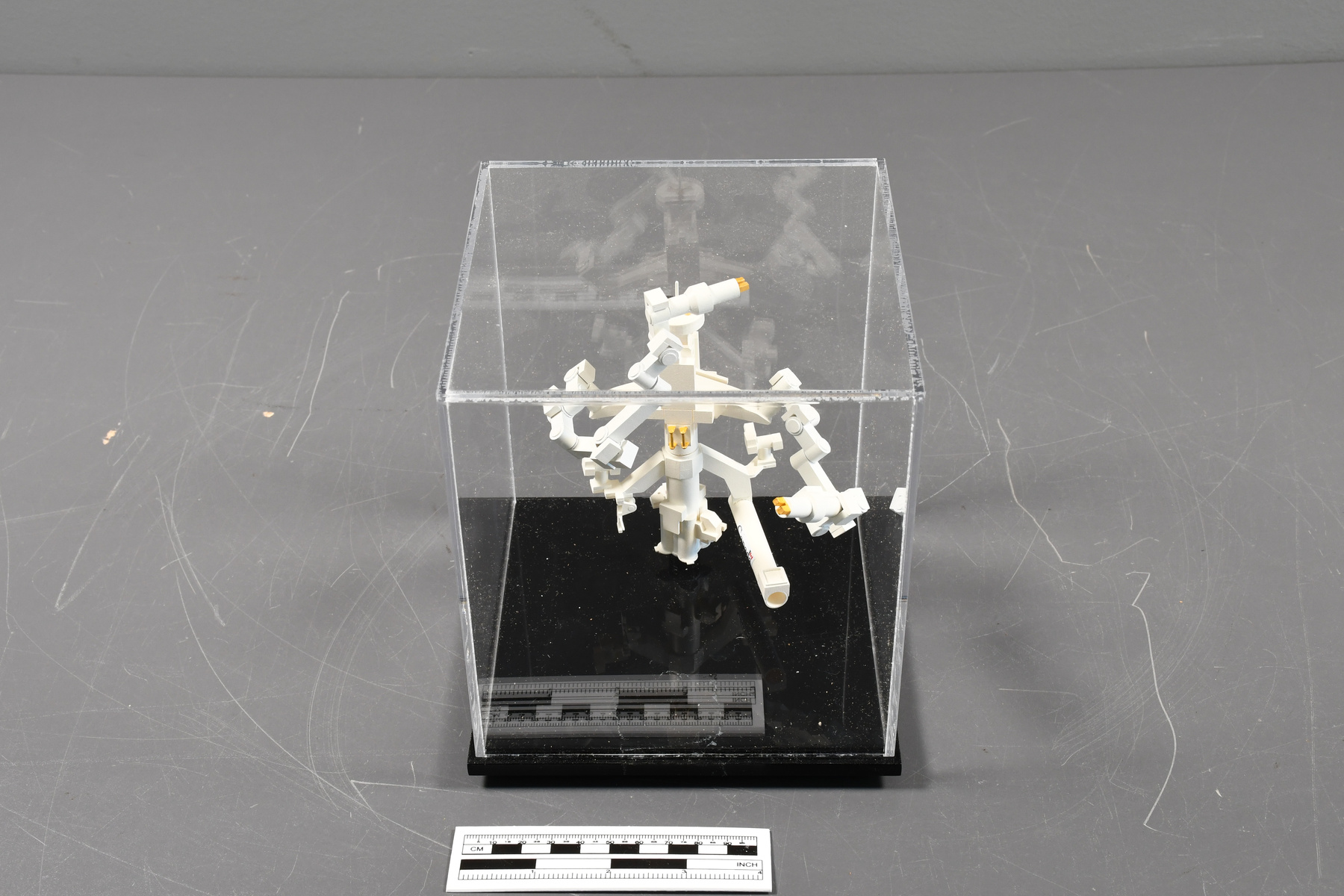
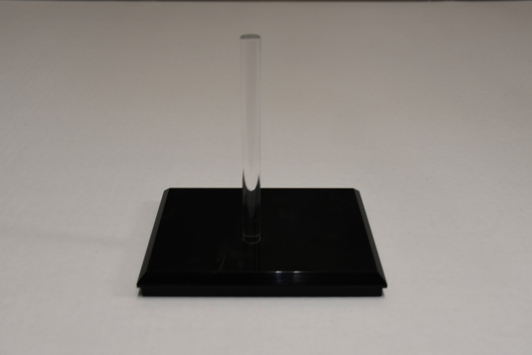
Stand, assembly
Use this image
Can I reuse this image without permission? Yes
Object images on the Ingenium Collection’s portal have the following Creative Commons license:
Copyright Ingenium / CC BY-NC-ND (Attribution-NonCommercial 4.0 International (CC BY-NC 4.0)
ATTRIBUTE THIS IMAGE
Ingenium,
2017.0134.002
Permalink:
Ingenium is releasing this image under the Creative Commons licensing framework, and encourages downloading and reuse for non-commercial purposes. Please acknowledge Ingenium and cite the artifact number.
DOWNLOAD IMAGEPURCHASE THIS IMAGE
This image is free for non-commercial use.
For commercial use, please consult our Reproduction Fees and contact us to purchase the image.
- OBJECT TYPE
- N/A
- DATE
- 2004
- ARTIFACT NUMBER
- 2017.0134.002
- MANUFACTURER
- Unknown
- MODEL
- RADARSAT 1
- LOCATION
- Unknown
More Information
General Information
- Serial #
- N/A
- Part Number
- 2
- Total Parts
- 2
- AKA
- N/A
- Patents
- N/A
- General Description
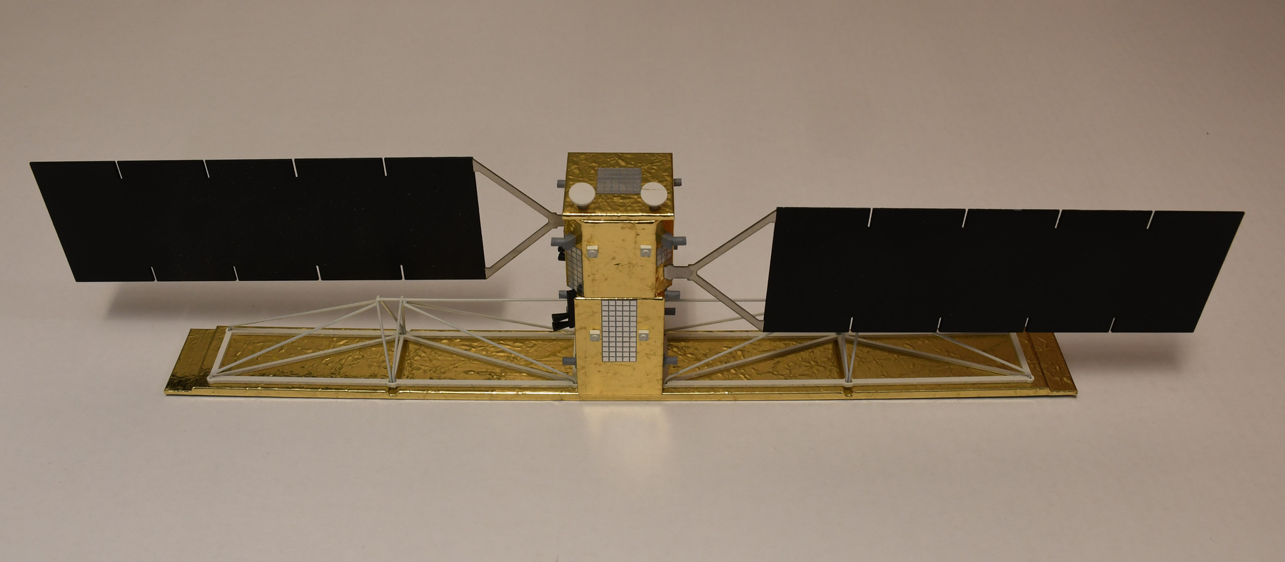
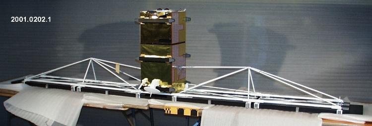
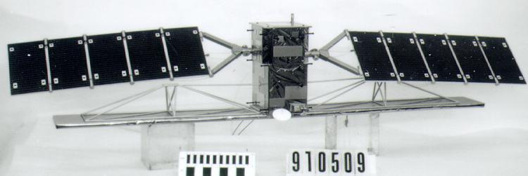
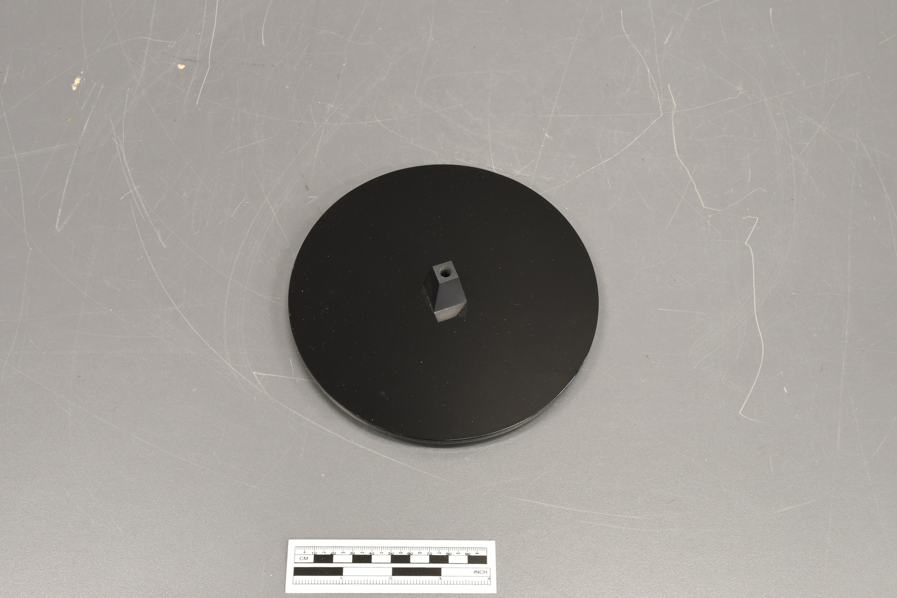
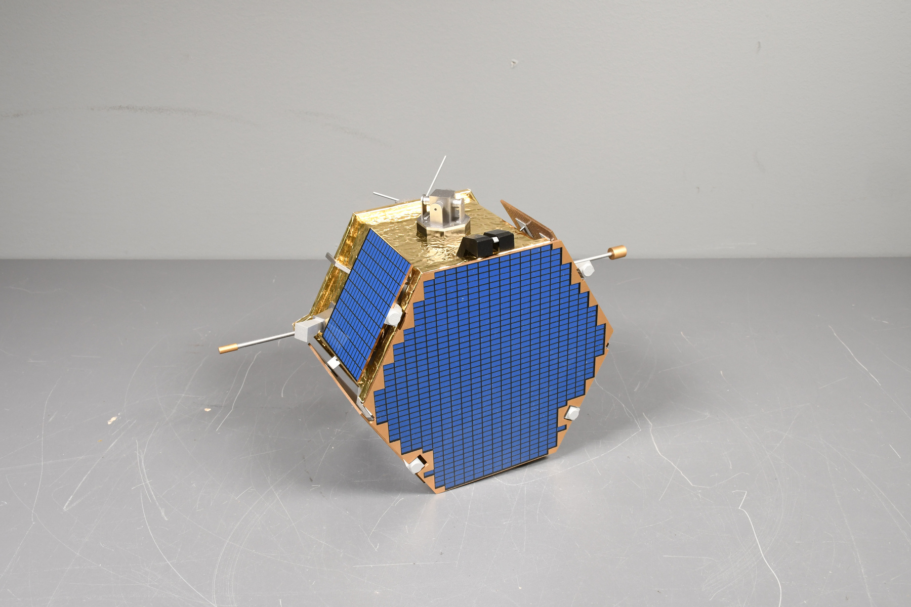
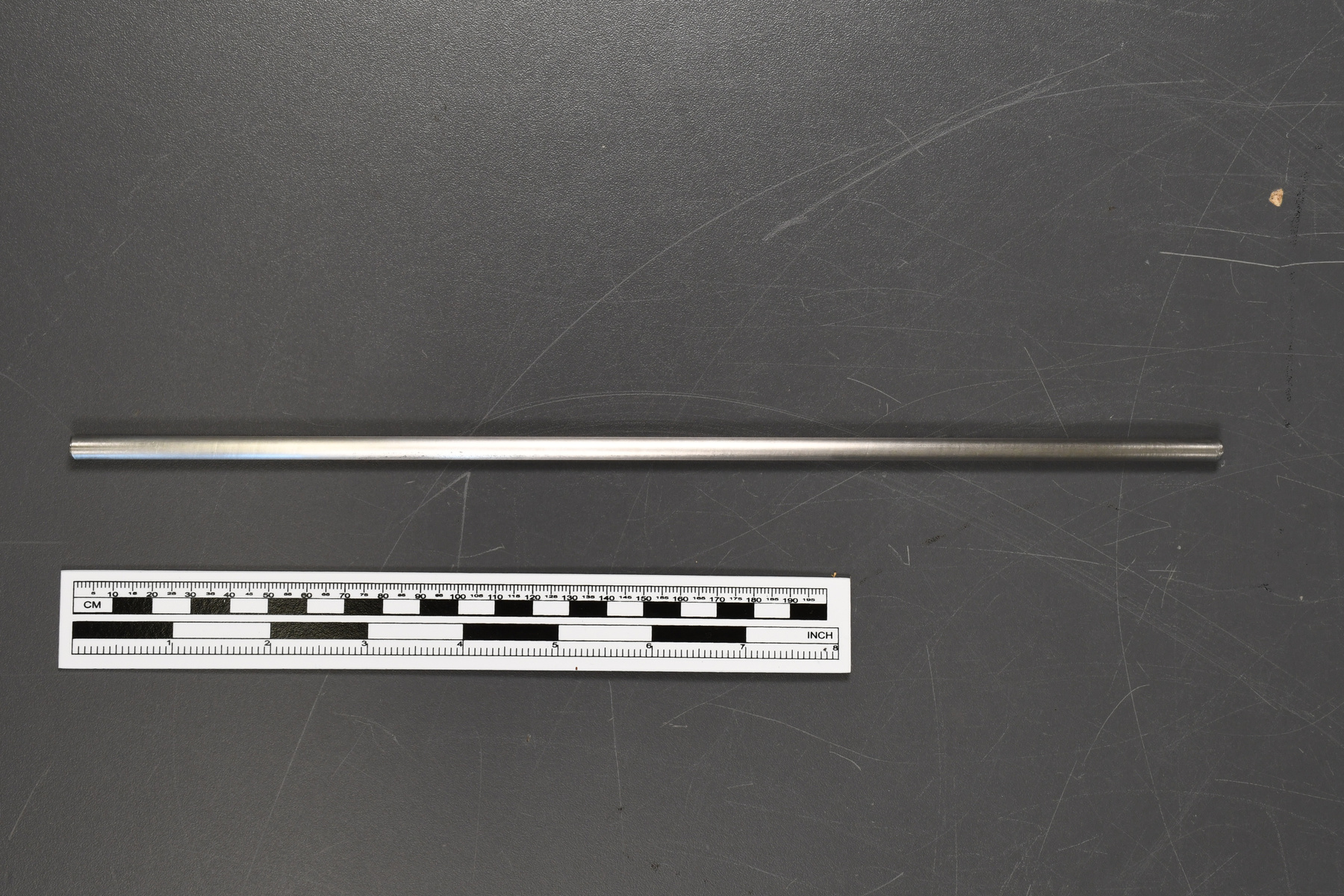
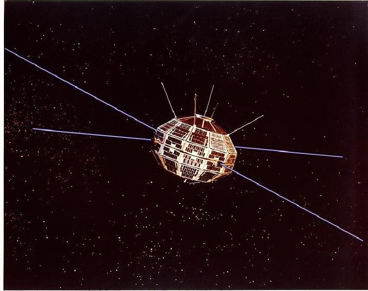
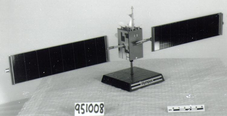
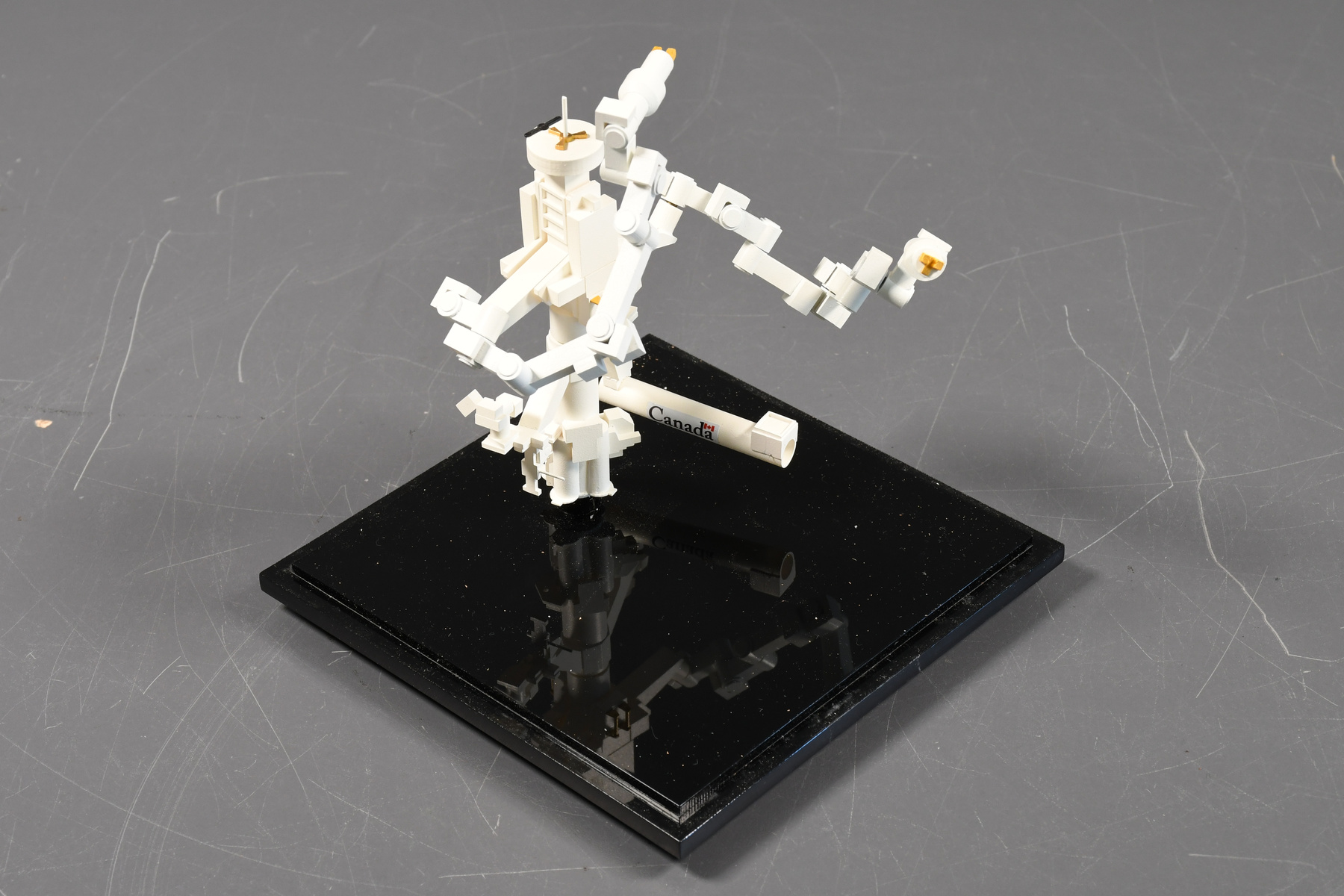
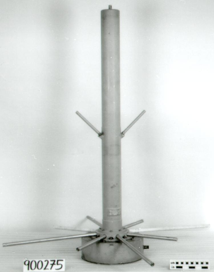
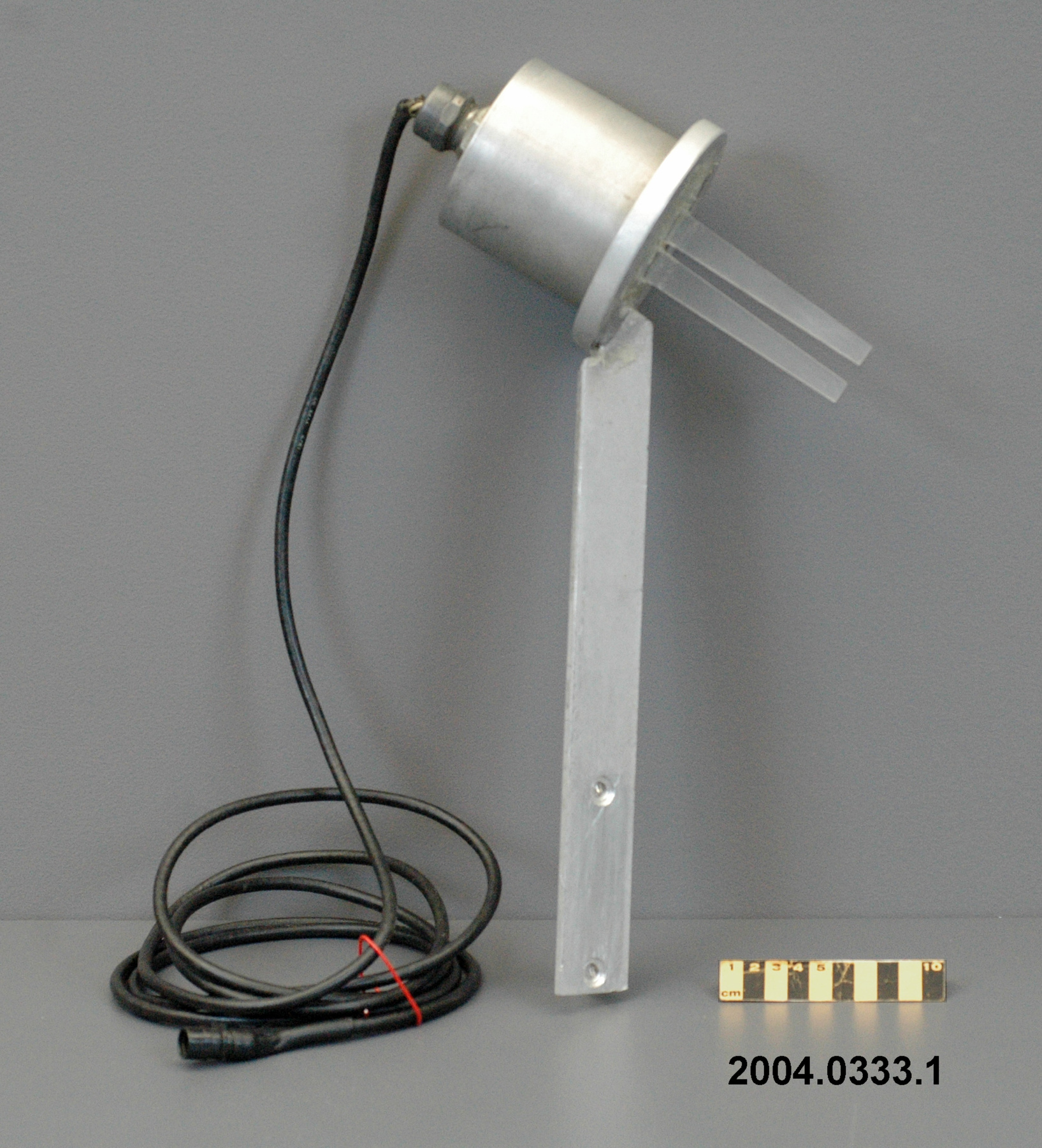
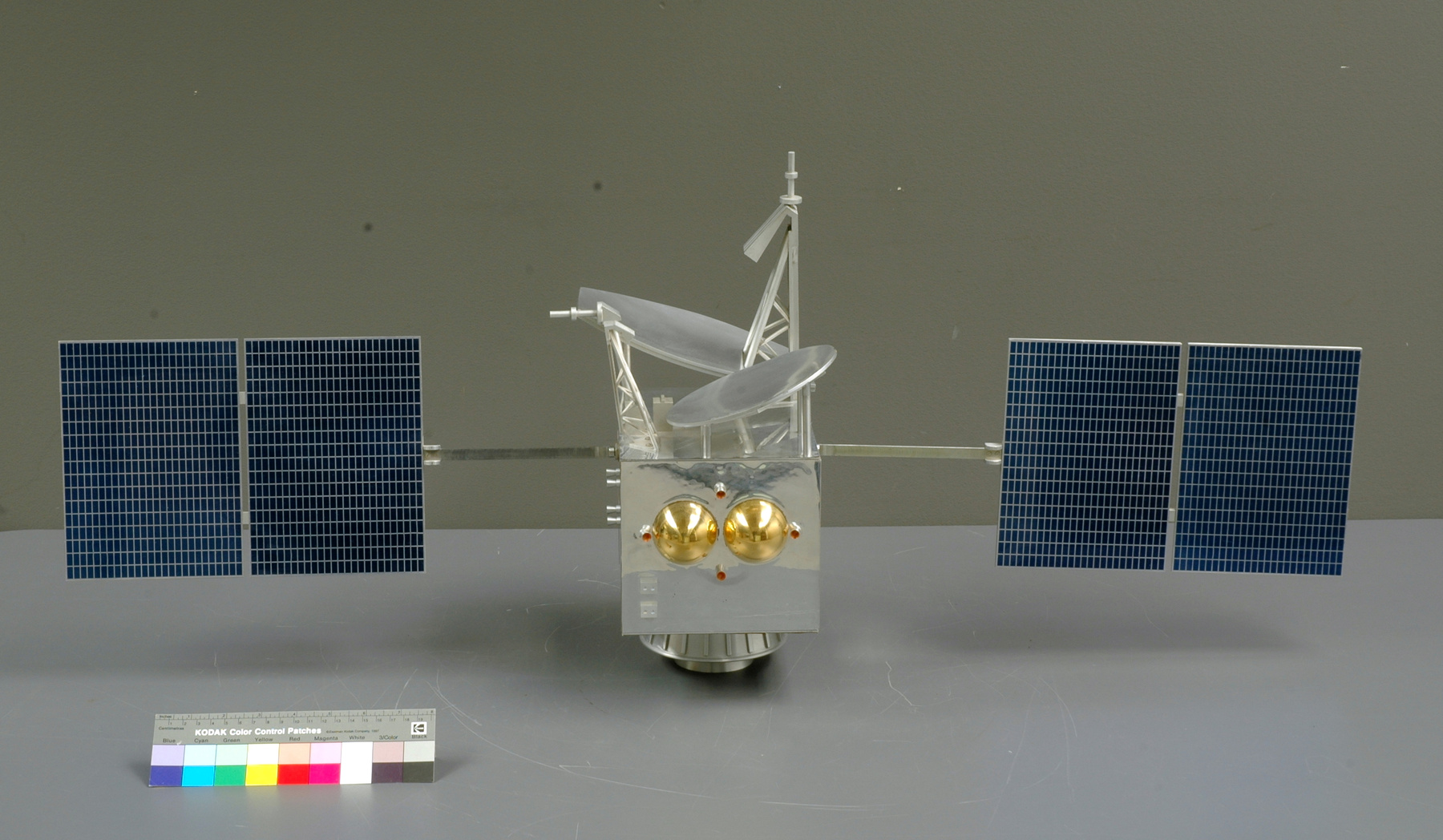
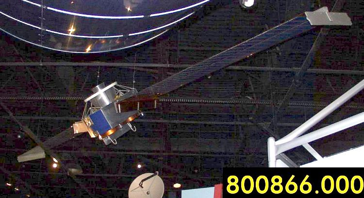
- Support for a 1:500 scale model of RADARSAT 1 satellite.
Dimensions
Note: These reflect the general size for storage and are not necessarily representative of the object's true dimensions.
- Length
- N/A
- Width
- N/A
- Height
- N/A
- Thickness
- N/A
- Weight
- N/A
- Diameter
- N/A
- Volume
- N/A
Lexicon
- Group
- Space Technology
- Category
- Models
- Sub-Category
- N/A
Manufacturer
- AKA
- Unknown
- Country
- Unknown
- State/Province
- Unknown
- City
- Unknown
Context
- Country
- Canada
- State/Province
- Unknown
- Period
- Built under contract in 2004.
- Canada
-
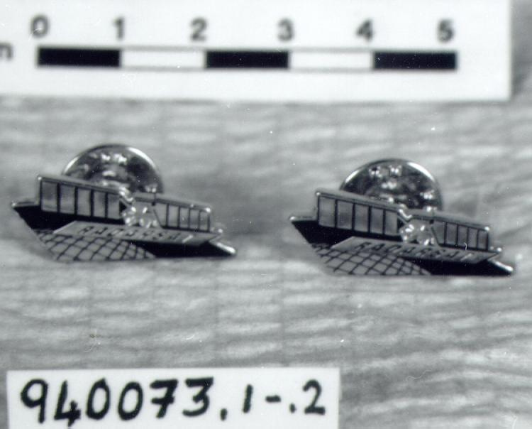
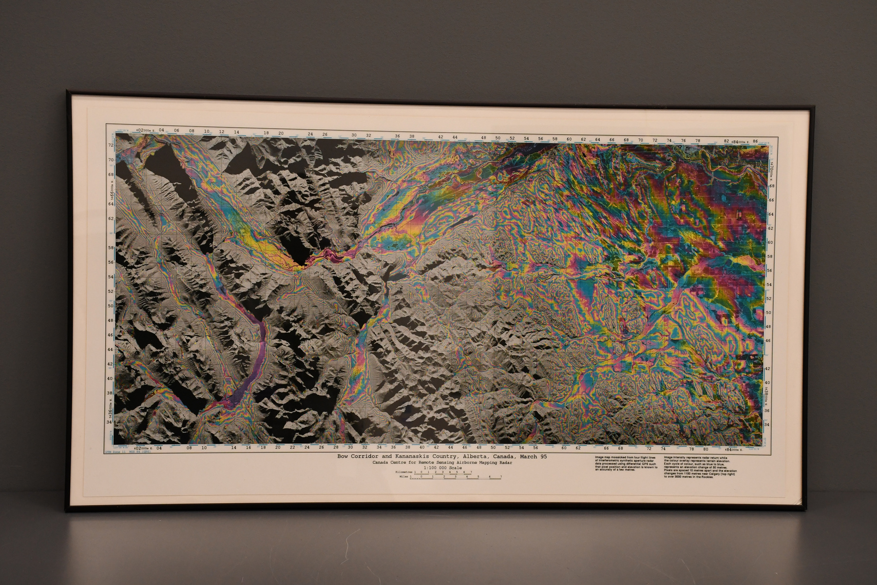
CSTMC’s Convair 580 aircraft was so successful in demonstrating the many civilian uses of imaging radar that the Canadian Government decided to embark on a radar satellite programme. This culminated in the launch of ‘RADARSAT 1’ in 1995. Designed to last 5 years, the radar satellite operated flawlessly for 17 years, ultimately failing in March 2013. During this period, RADARSAT 1 provided a wealth of high resolution imagery for ice reconnaissance; coastal surveillance, including oil spill, ship, and iceberg detection; resource development; flood mapping; agriculture; forestry; and hurricane tracking. RADARSAT 1 set the international standard for satellite imaging radars, and has now been superseded by RADARSAT 2. Le Convair 580 à la Société a connu beaucoup de succès en démontrant les différentes utilités du radar image que le gouvernement canadien a même décidé de lancer un programme de satellite radar. Ceci mène au lancement du RADARSAT 1 en 1995. Conçue pour une durée cinq ans, ce satellite radar a opérer à un haut standard pour 17 ans, jusqu'en mars 2013. Lors de cette période, RADARSAT 1 a offert un grand montant d'images à haute résolution pour reconnaissance des glaces; surveillance côtière, incluant les déversements de pétrole, la détection des navires et des glaciers; développement des ressources; cartographie des inondations; l'agriculture; foresterie; et la détection des ouragans. RADARSAT 1 a élevé le standard global pour les satellites à radars image et a maintenant été remplacé par le RADARSAT 2. - Function
-
To help support and stabilize a satellite model when on display. Pour but de supporter et stabiliser une maquette de satellite pour présentation. - Technical
-
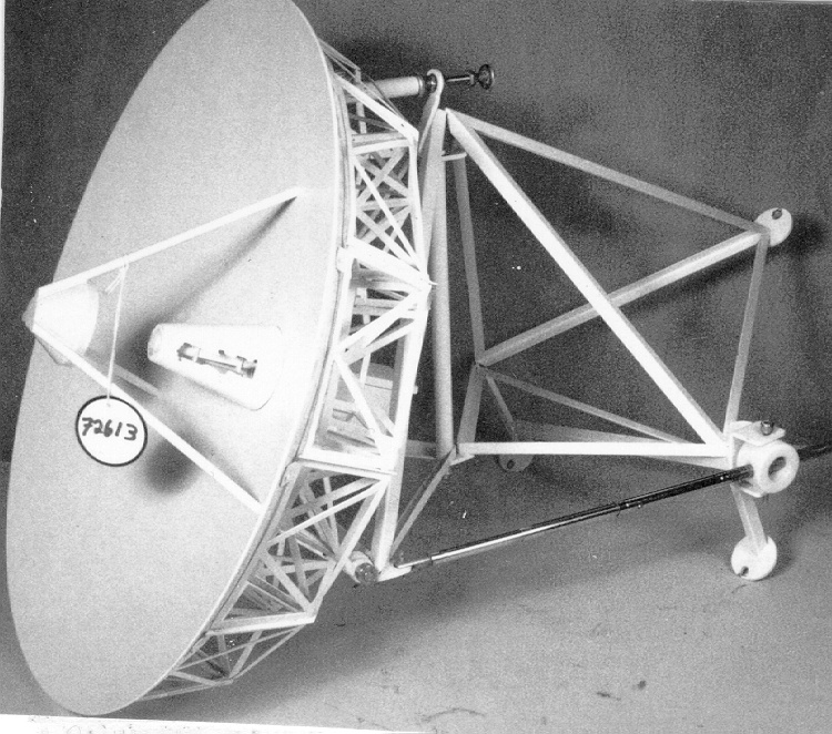
The scale model of RADARSAT 1 illustrates the relative position of the large solar panels required to power the radar, and the large 15 m long antenna facing for transmitting the radar pulses and receiving the backscatter microwave energy from the surface of the Earth. The smaller antennas facing the earth were required for satellite command and control, and for transmitting the large volumes of radar data back to receiving stations around the Earth. La maquette réduite du RADARSAT 1 illustre la position relative de grands panneaux solaires nécessaire pour alimenter le radar et l'antenne d'une longueur de quinze mètres pour transmettre les impulsions de radar et reçoient la rétro-diffusion d'énergie micro-ondes sur la surface de la Terre. Les plus petites antennes faisant face à la terre nécessitait contrôle par commande satellite et pour transmettre un grand volume de données radar à la station de réception autour de la Terre. - Area Notes
-
Unknown
Details
- Markings
- N/A
- Missing
- Appears complete.
- Finish
- Synthetic model support. The black square support of the stand is synthetic and the circular stem of the stand is transparent and synthetic. Support de maquette synthétique. La base carrée noire du support est synthétique et la tige circulaire du support est transparent et synthétique.
- Decoration
- N/A
CITE THIS OBJECT
If you choose to share our information about this collection object, please cite:
Unknown Manufacturer, Stand, assembly, circa 2004, Artifact no. 2017.0134, Ingenium – Canada’s Museums of Science and Innovation, http://collections.ingeniumcanada.org/en/id/2017.0134.002/
FEEDBACK
Submit a question or comment about this artifact.
More Like This
