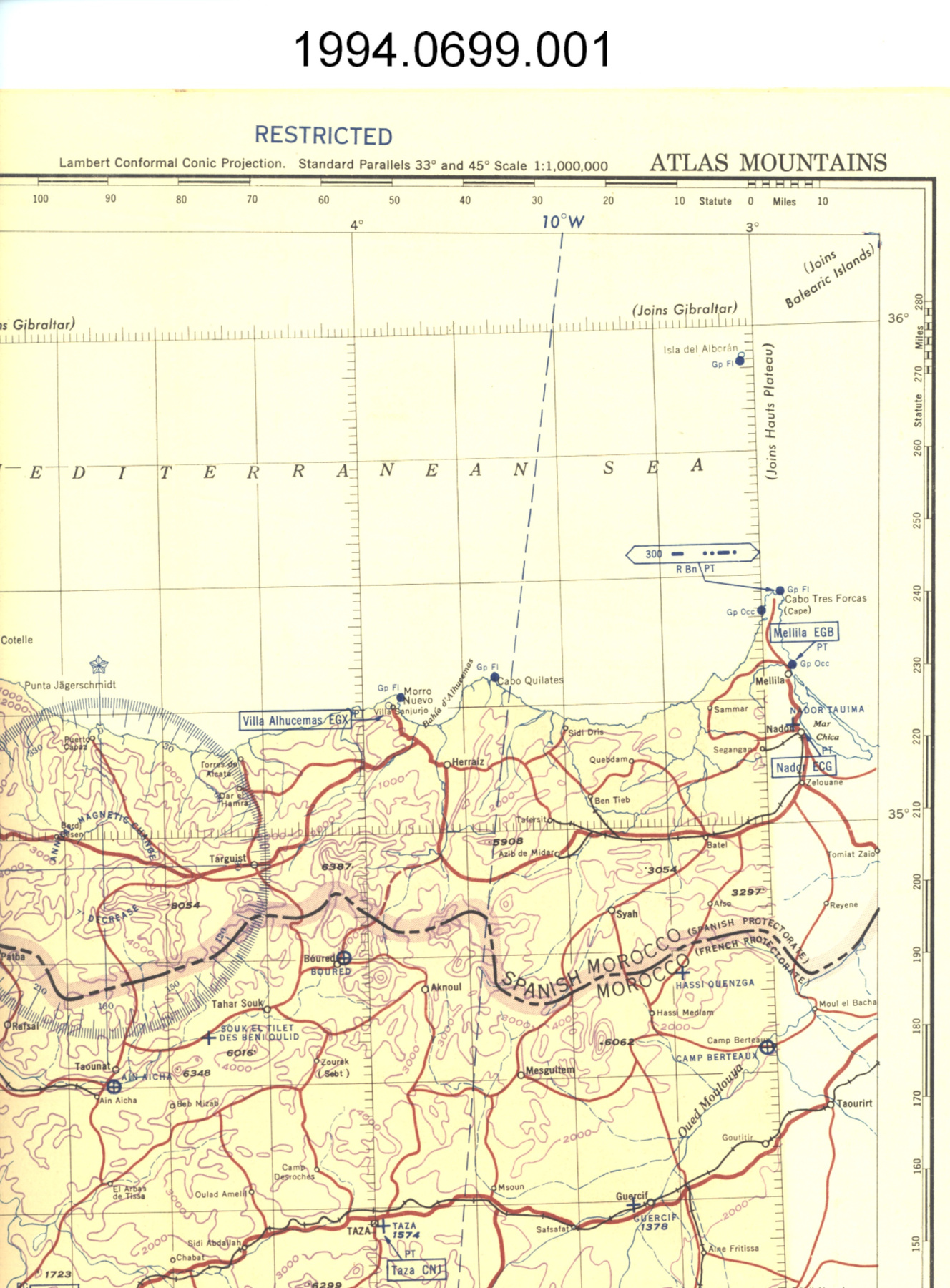
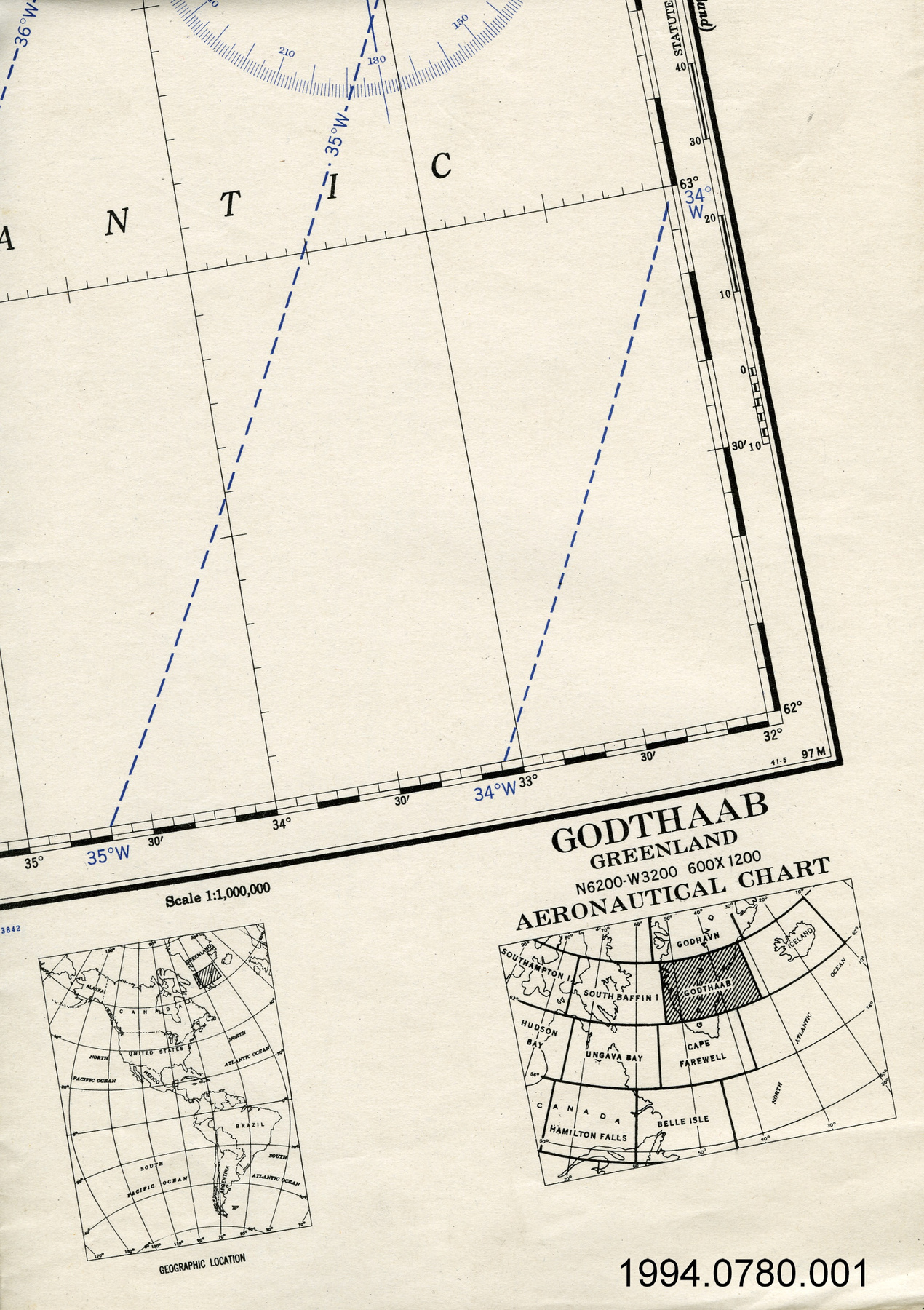
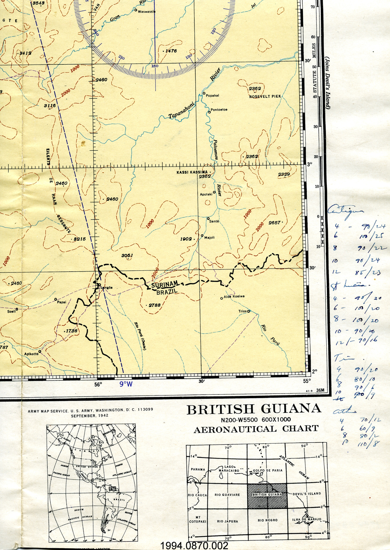
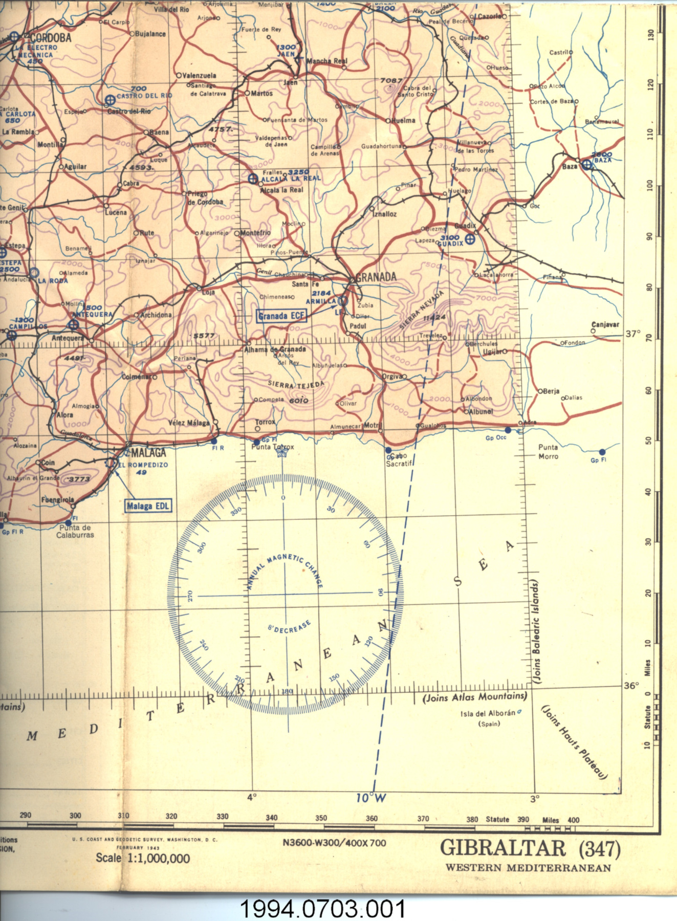
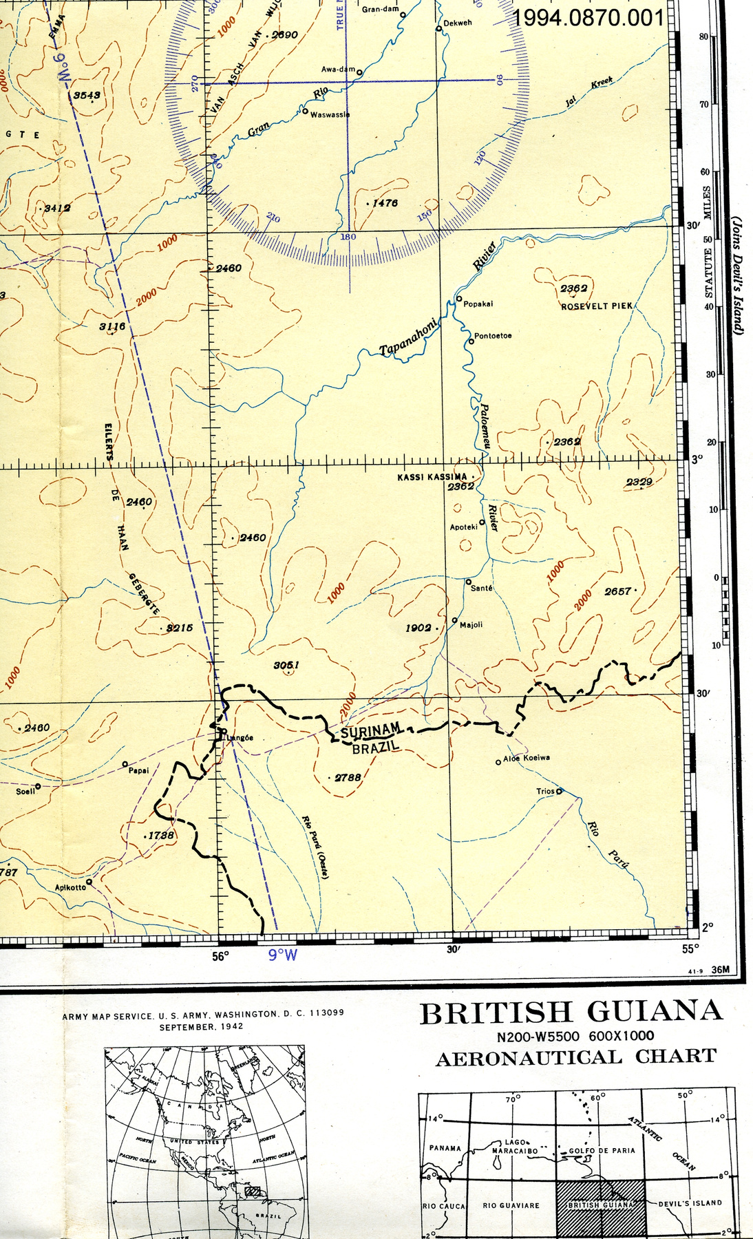
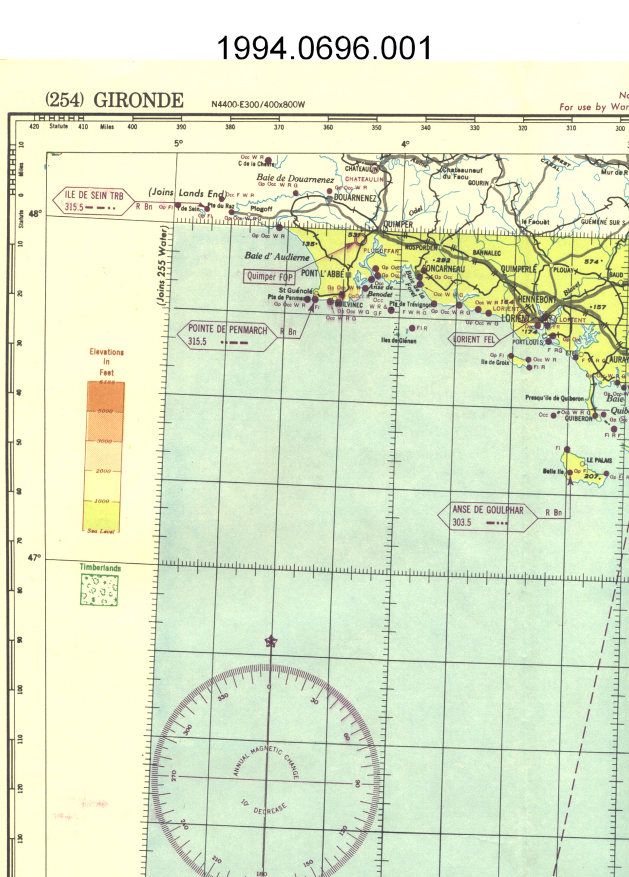
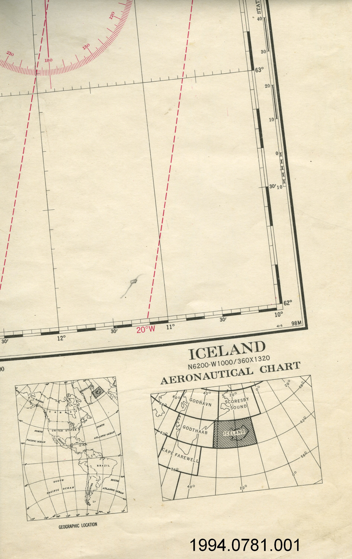
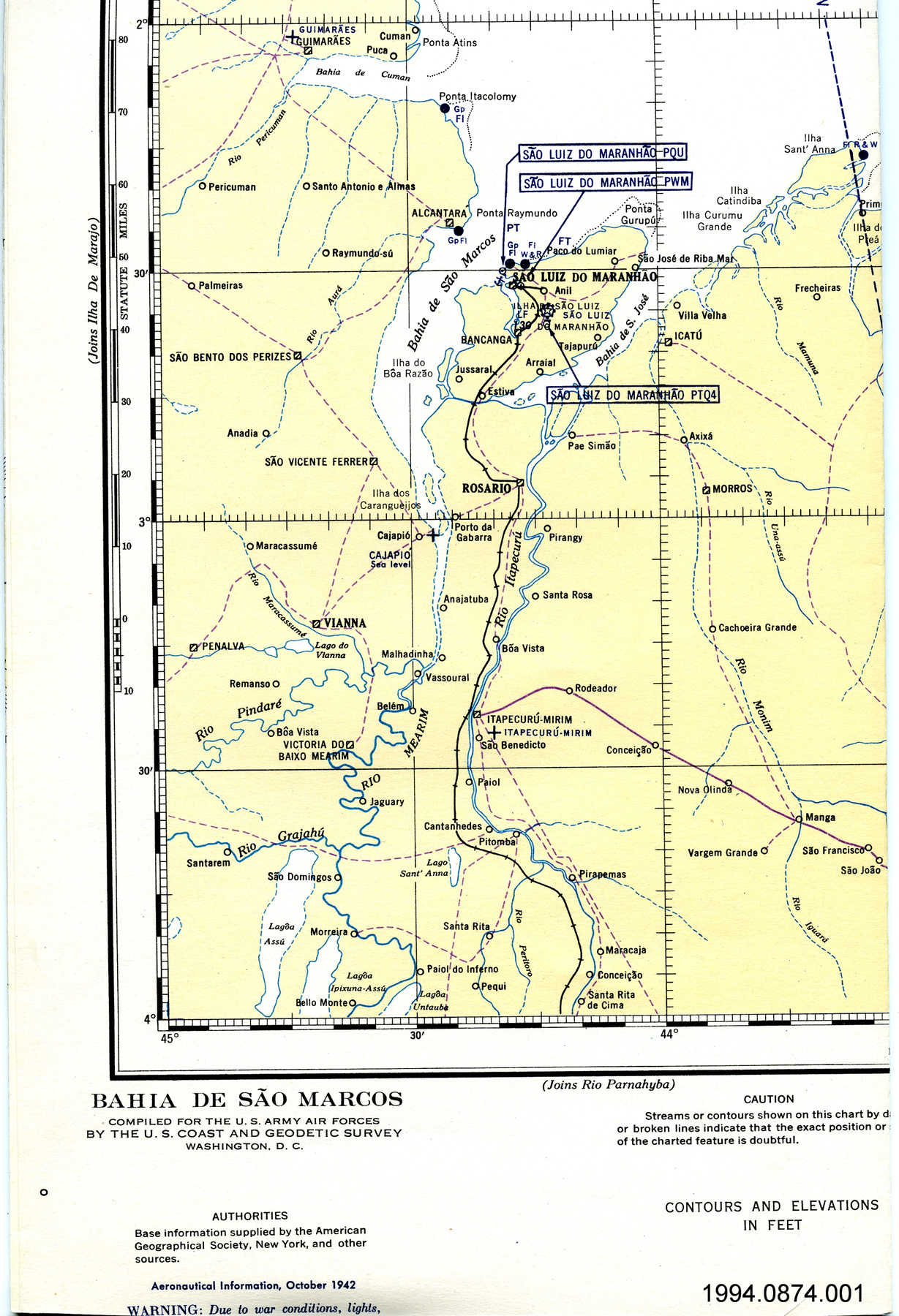
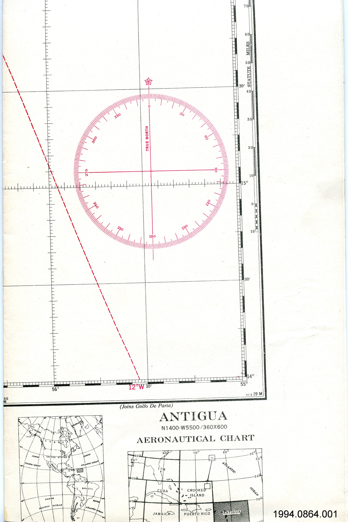
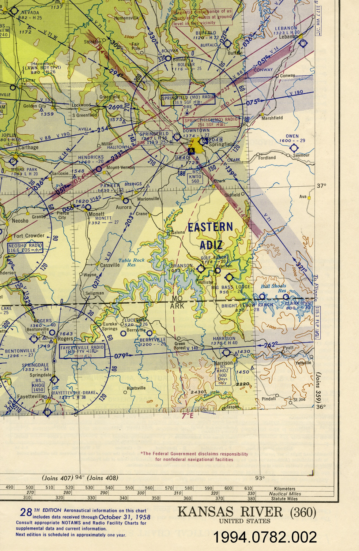
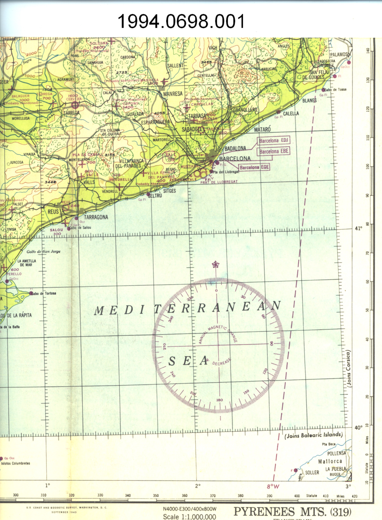
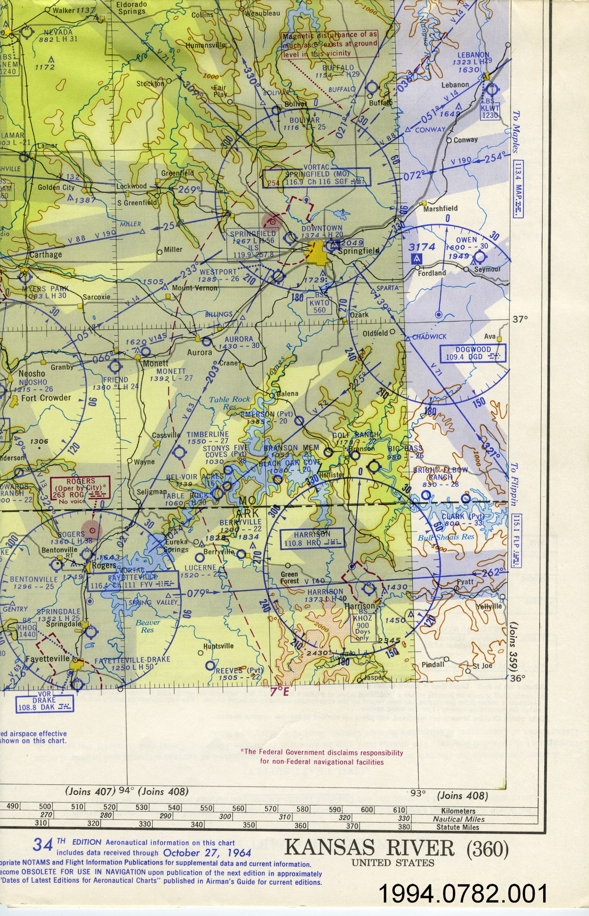
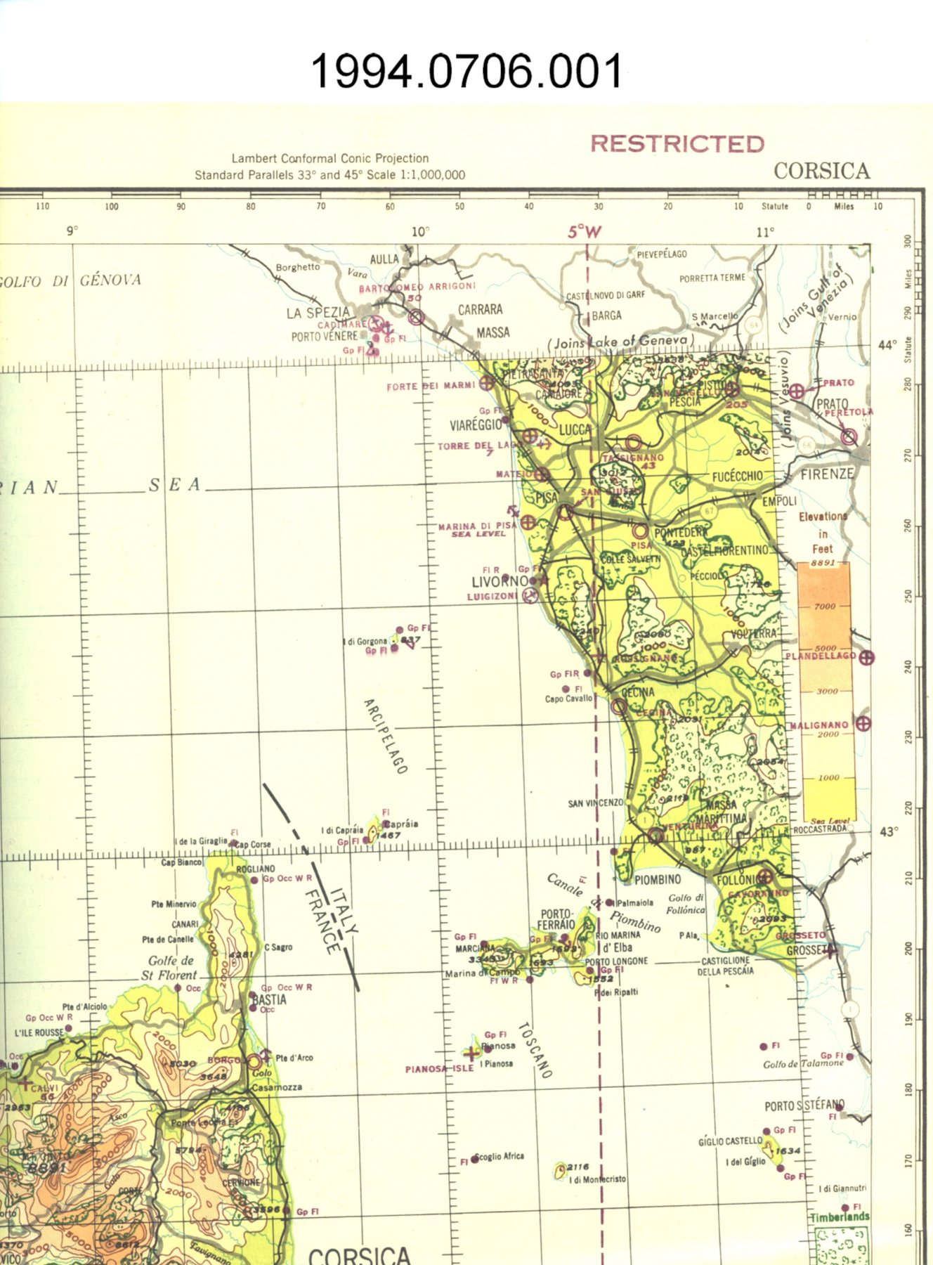
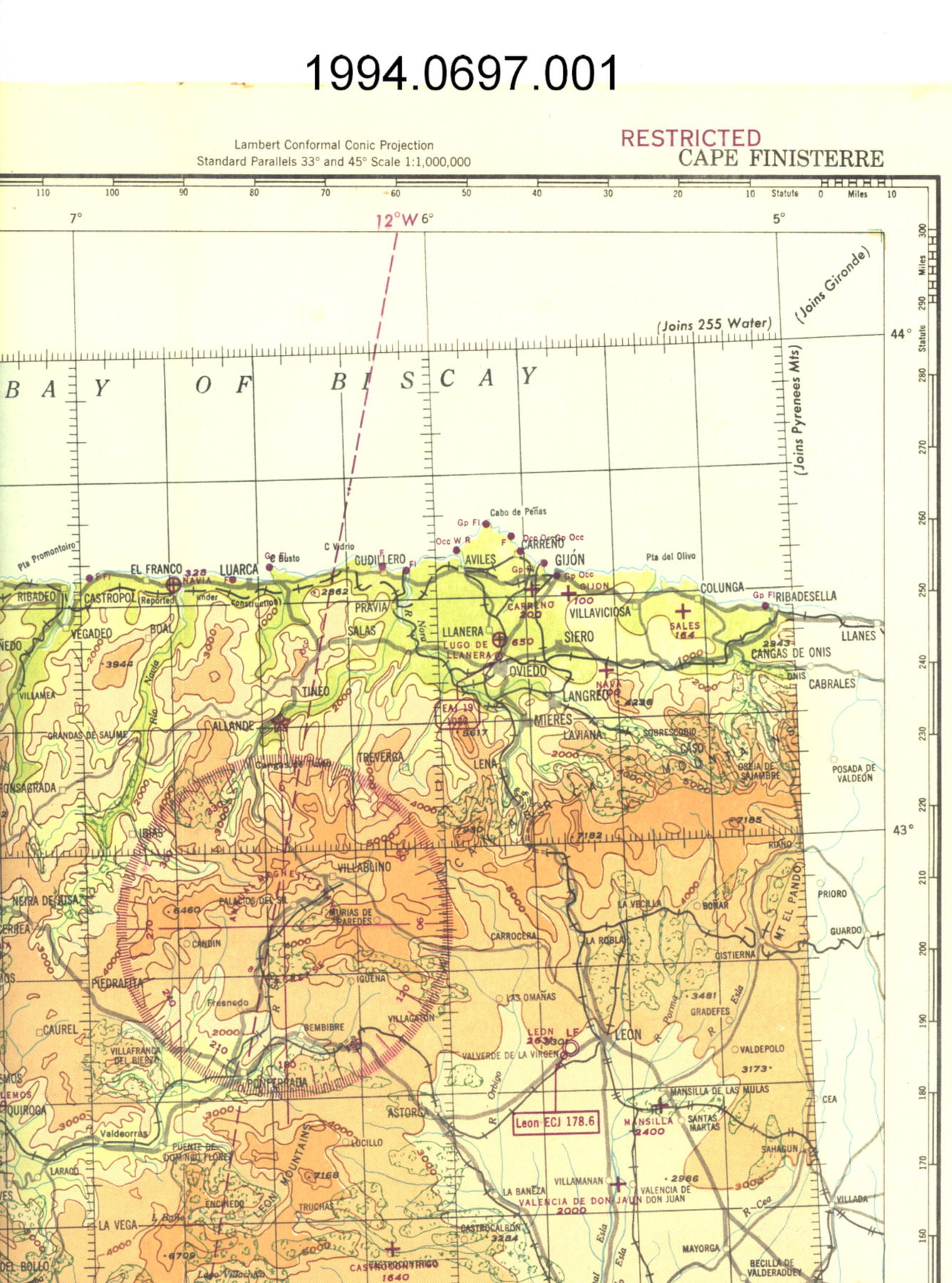
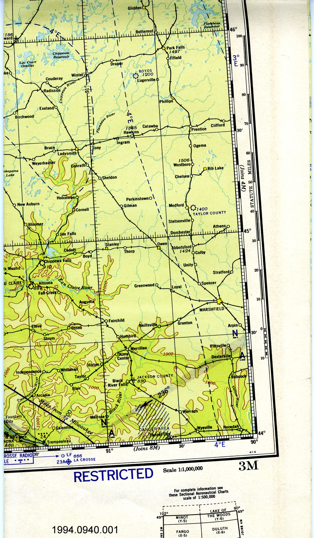
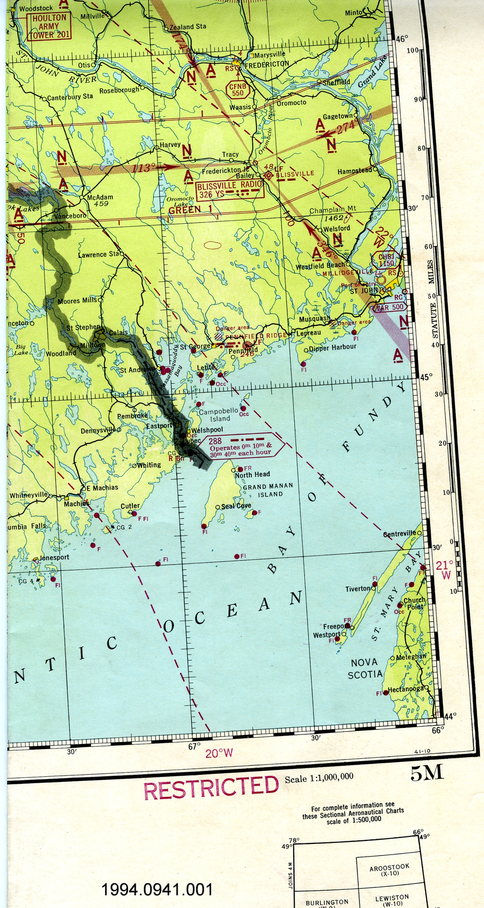
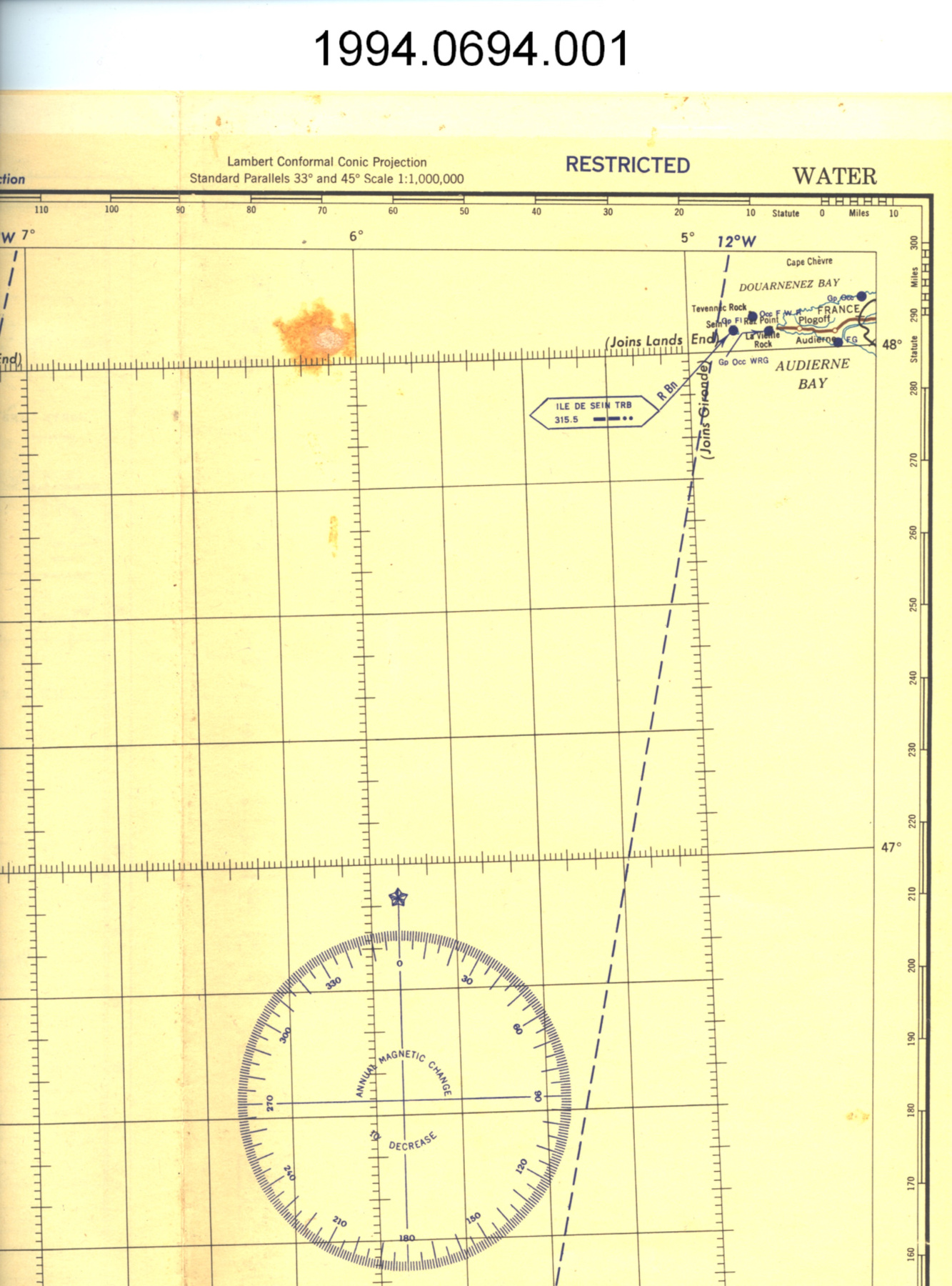
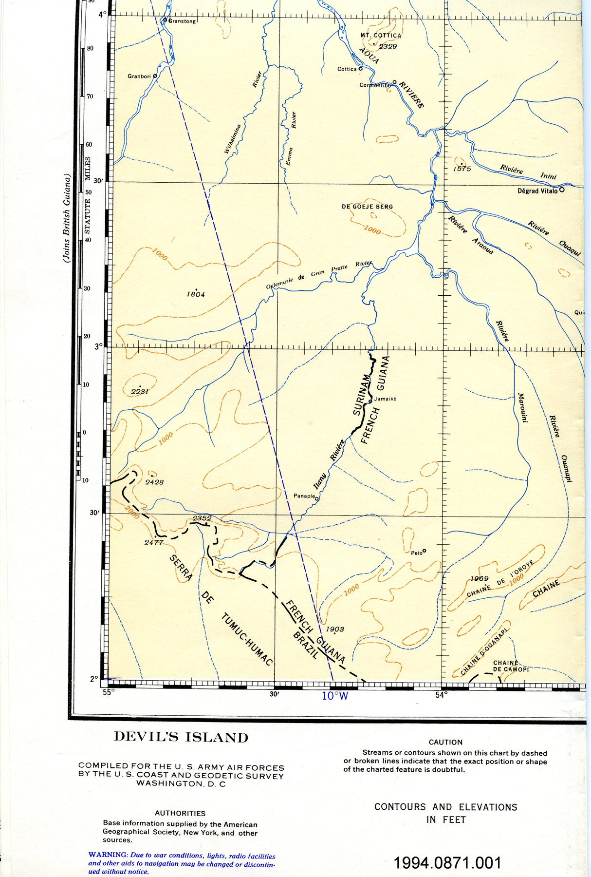
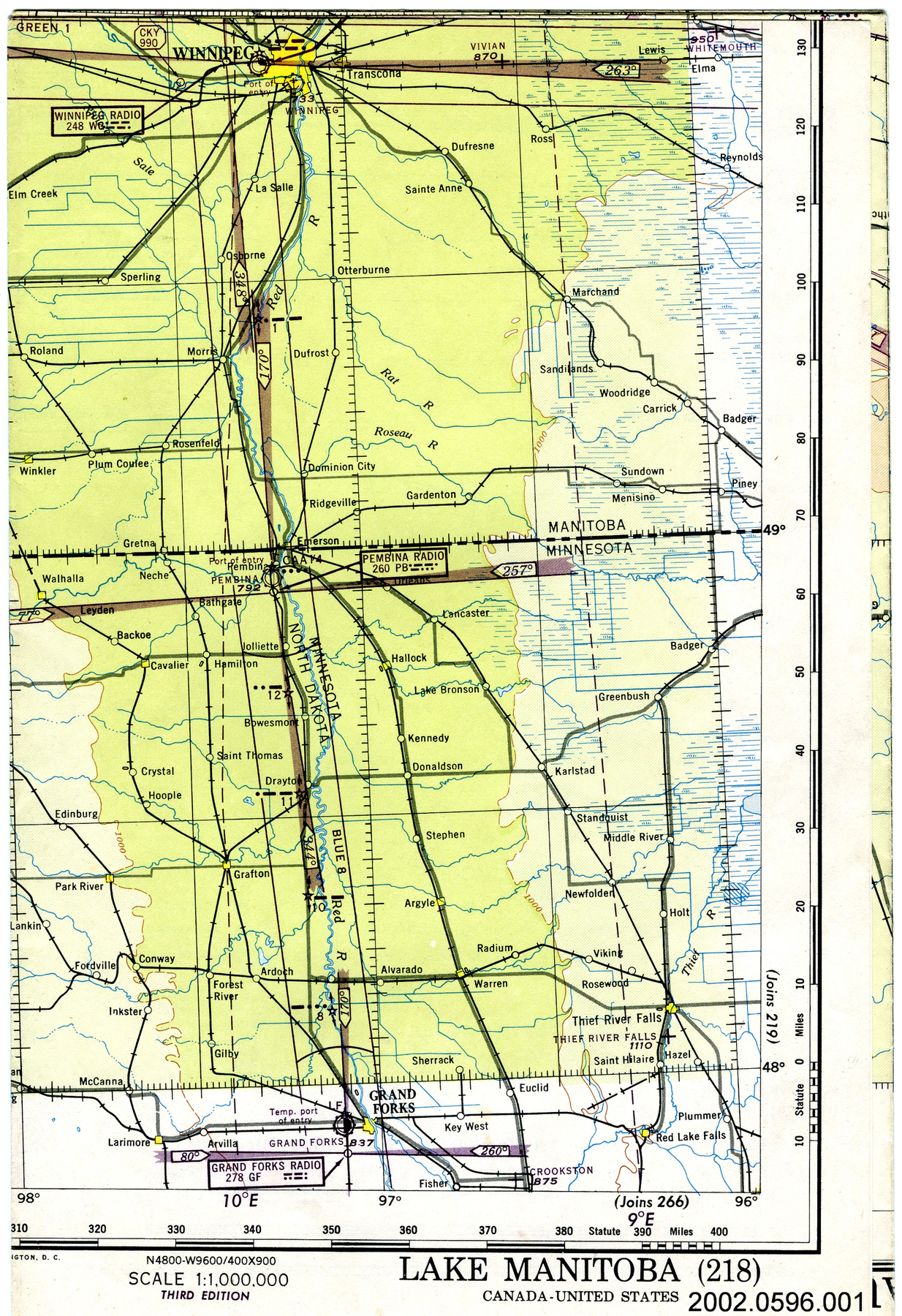
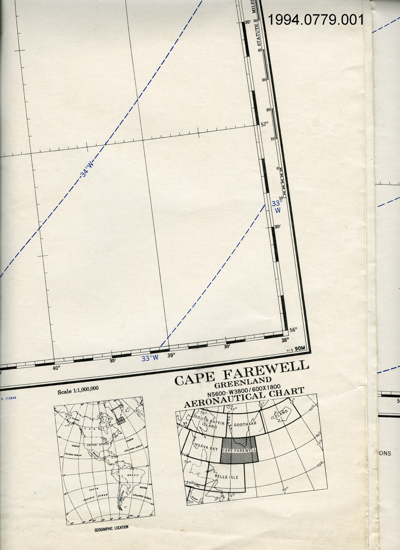
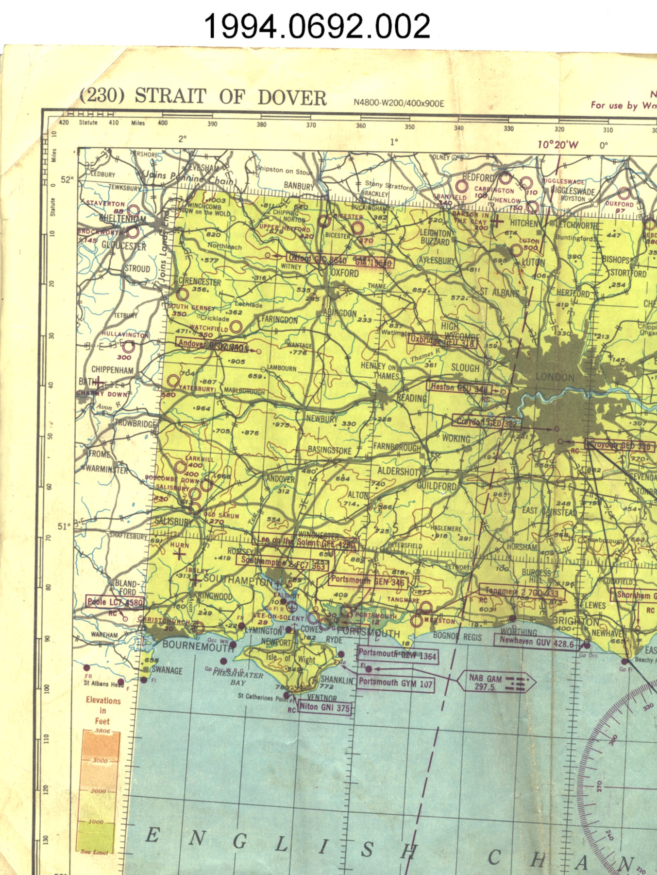
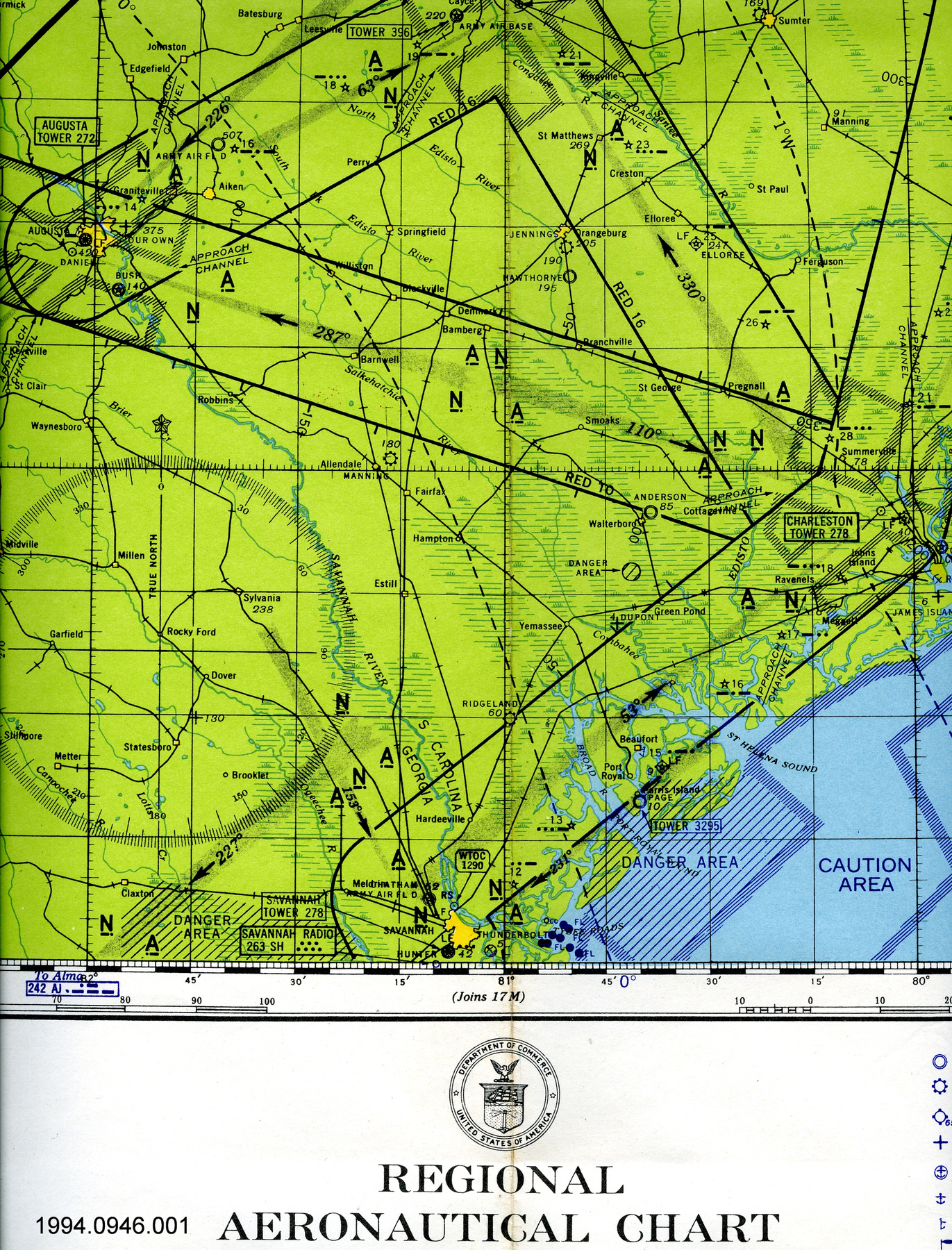
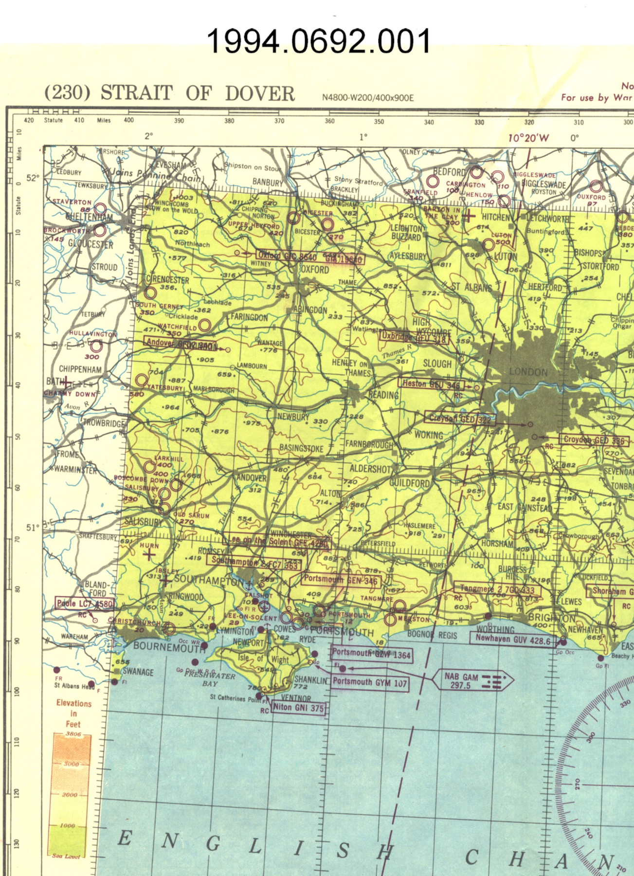
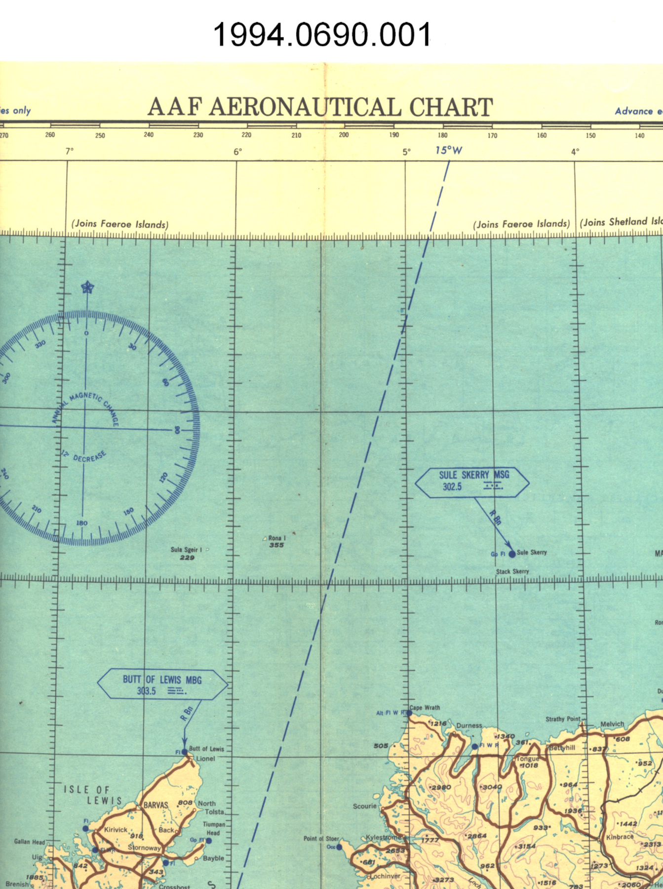
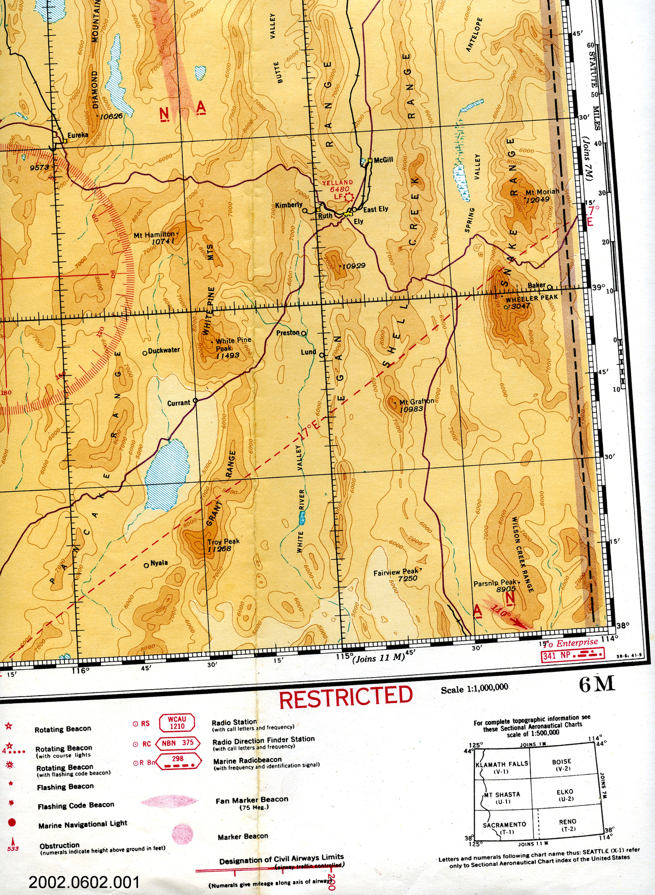
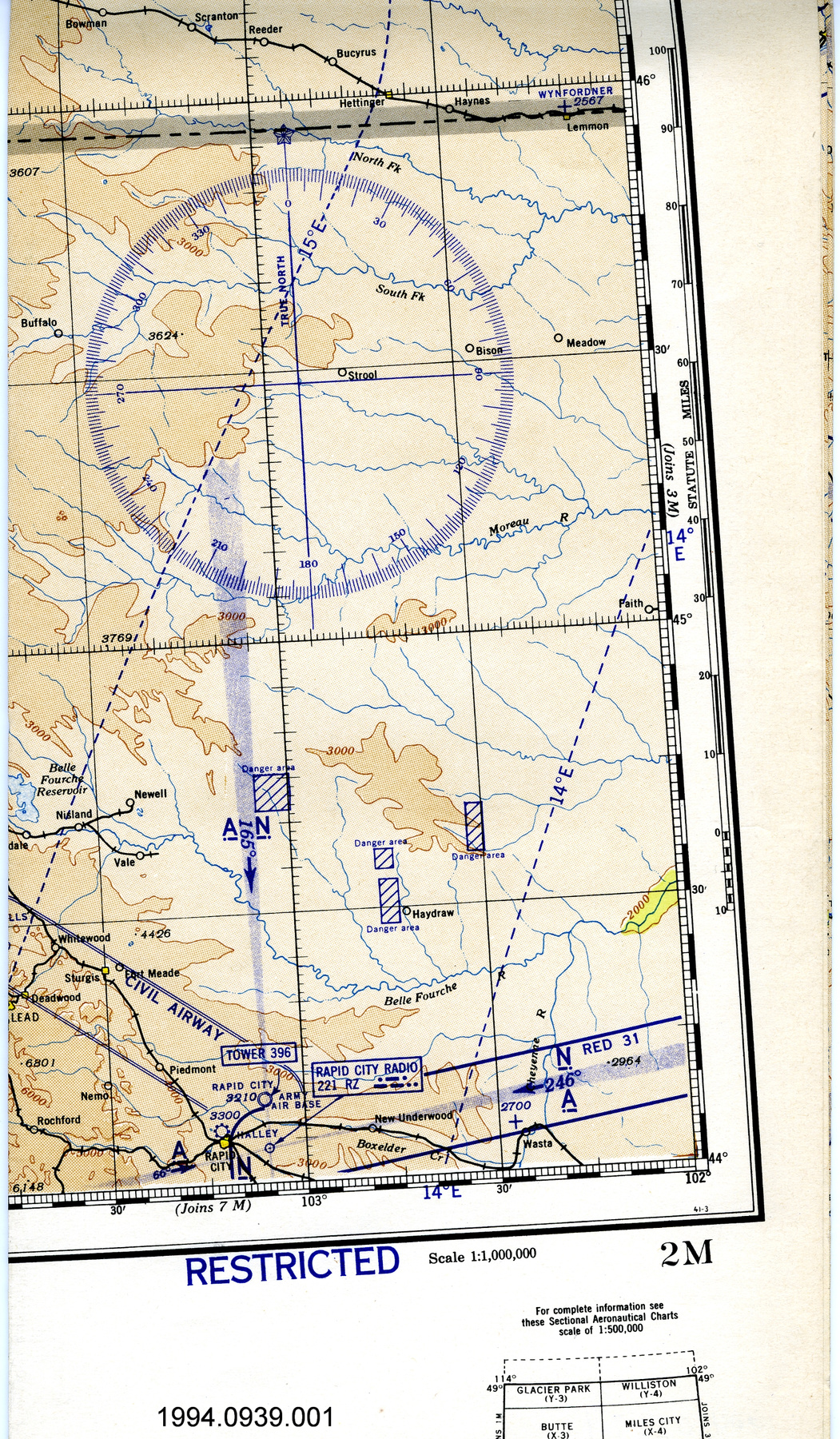
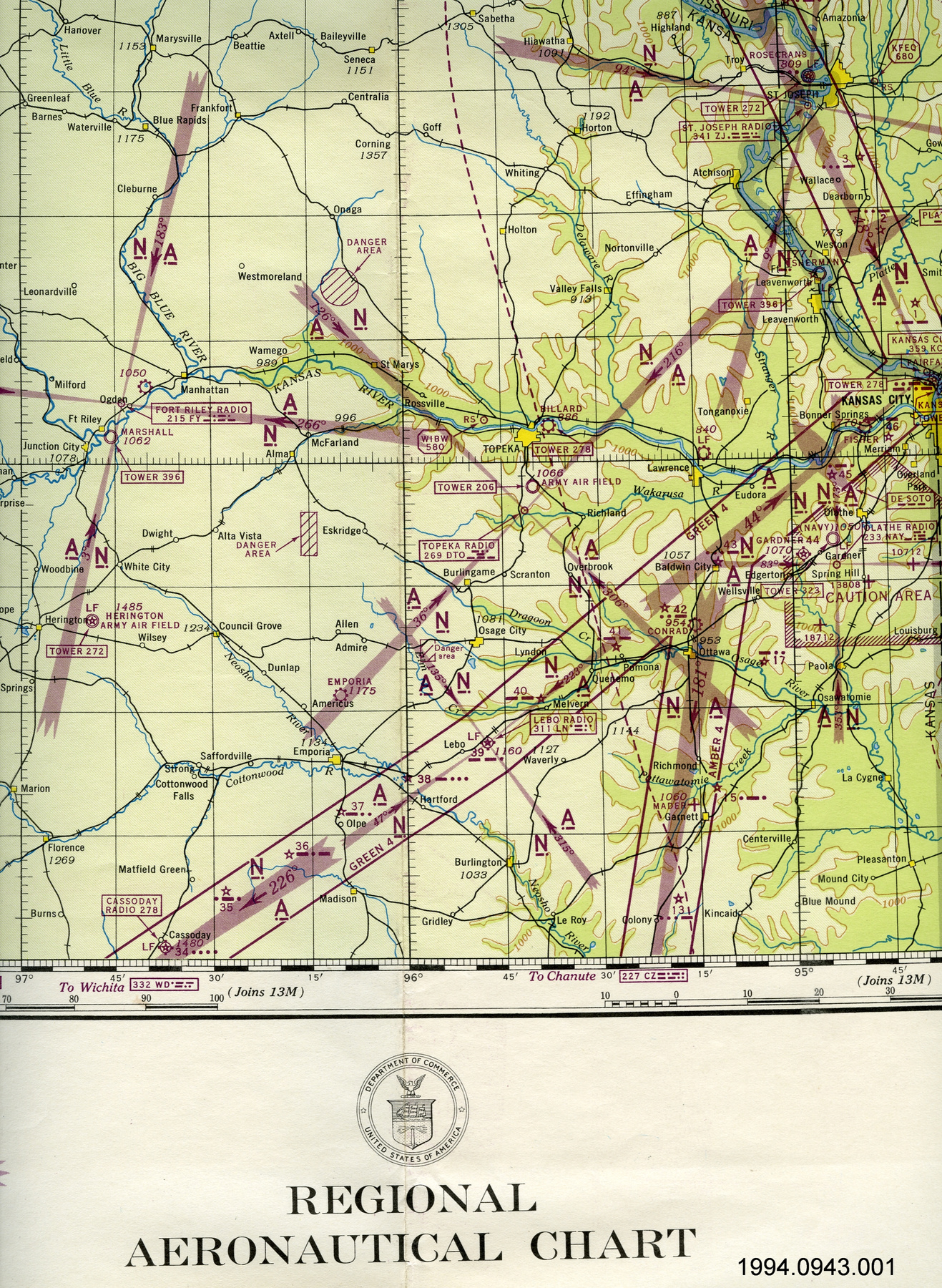
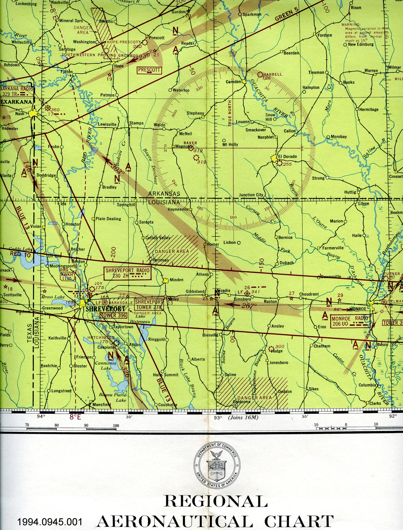
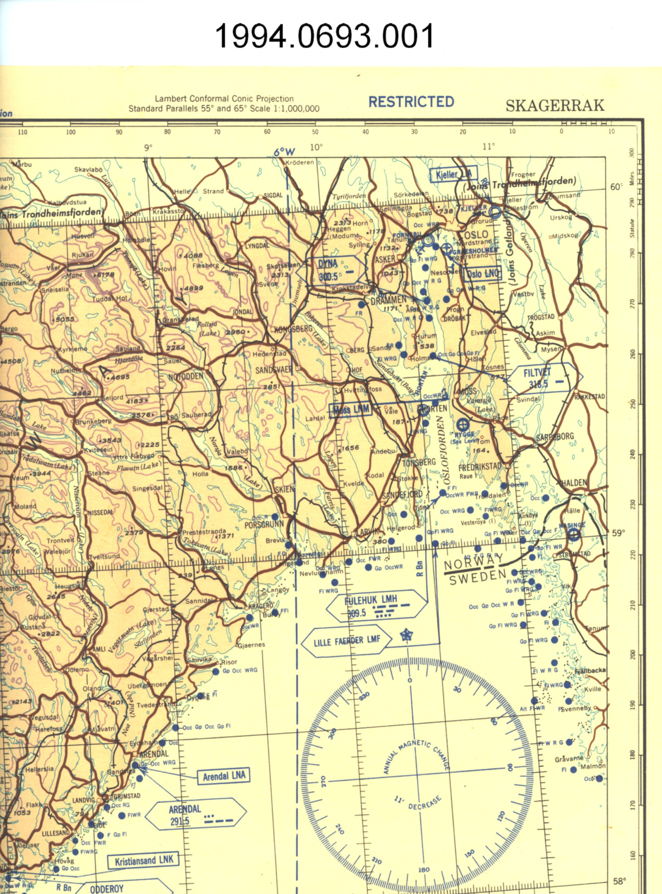
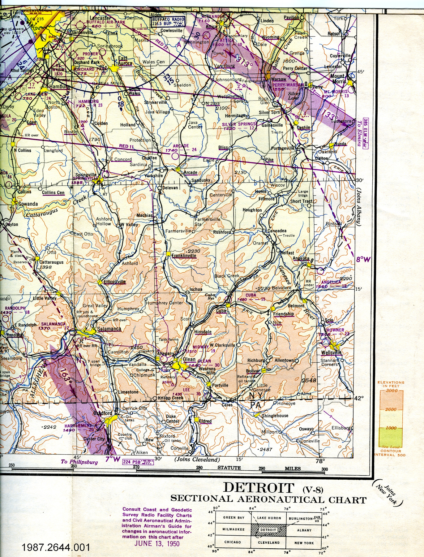
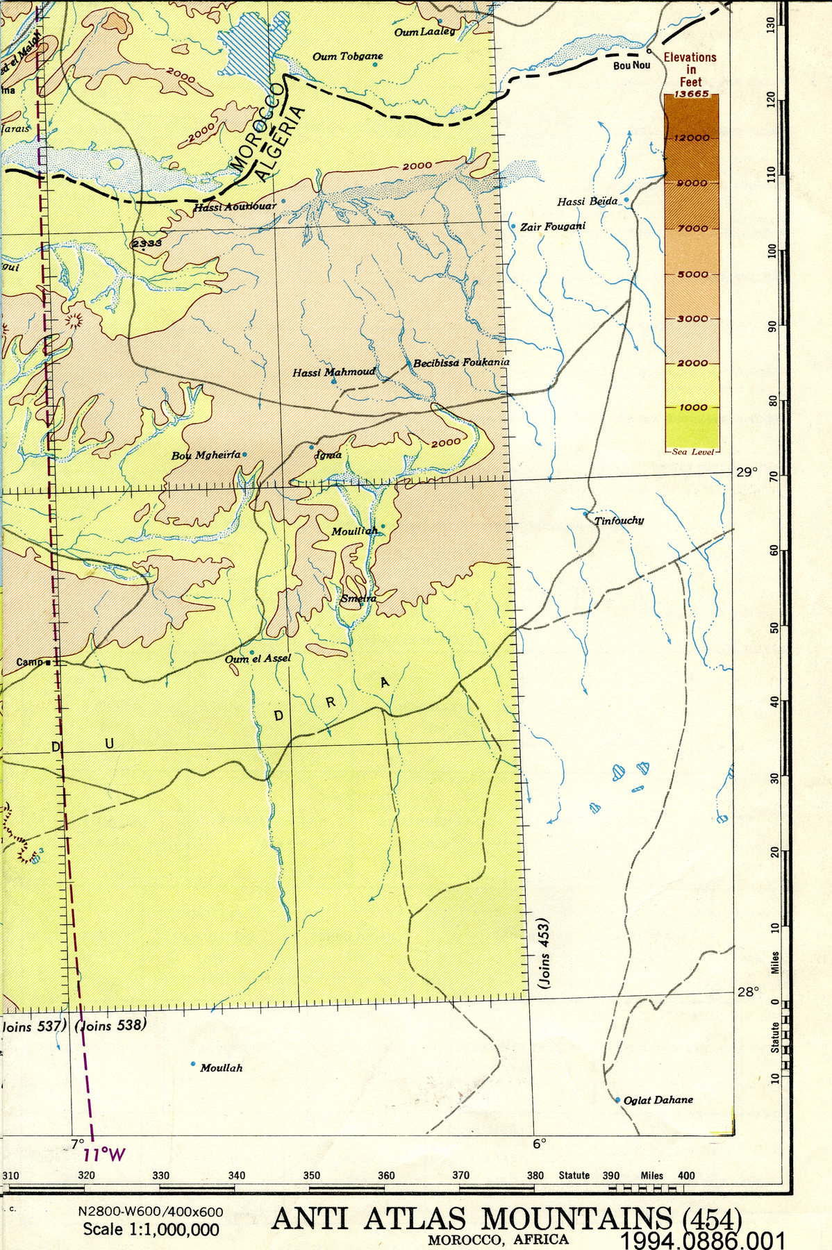
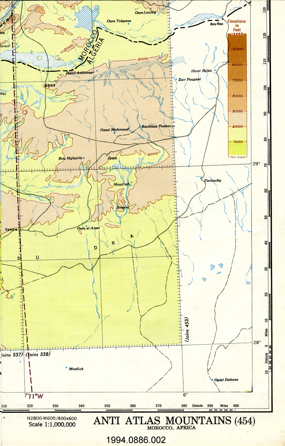
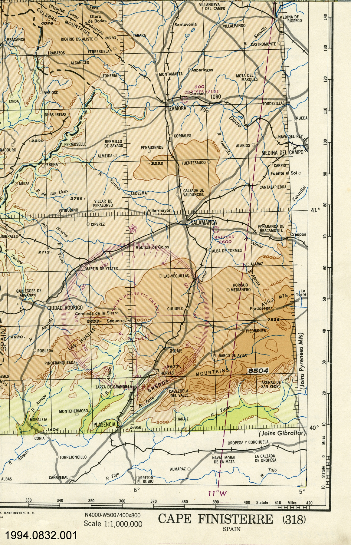
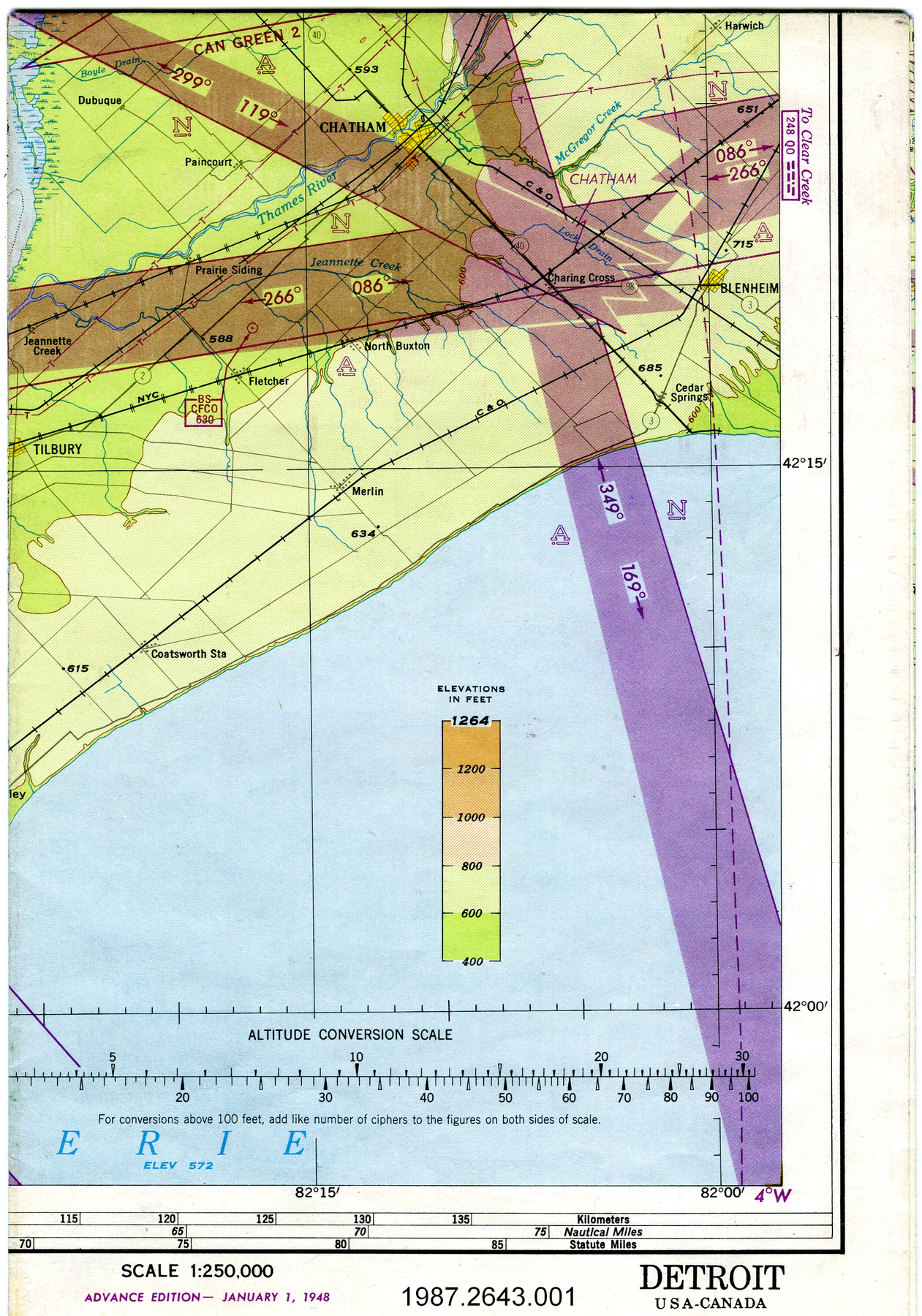
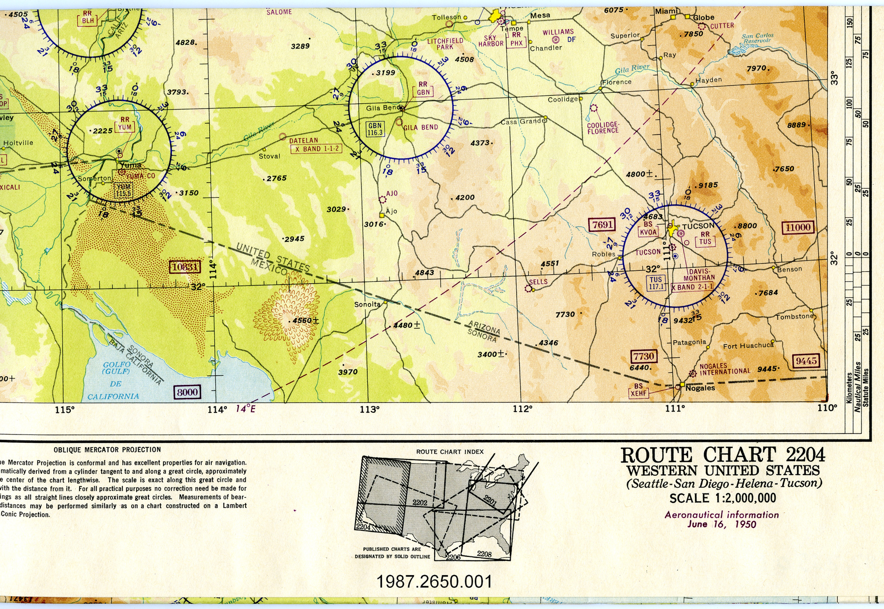
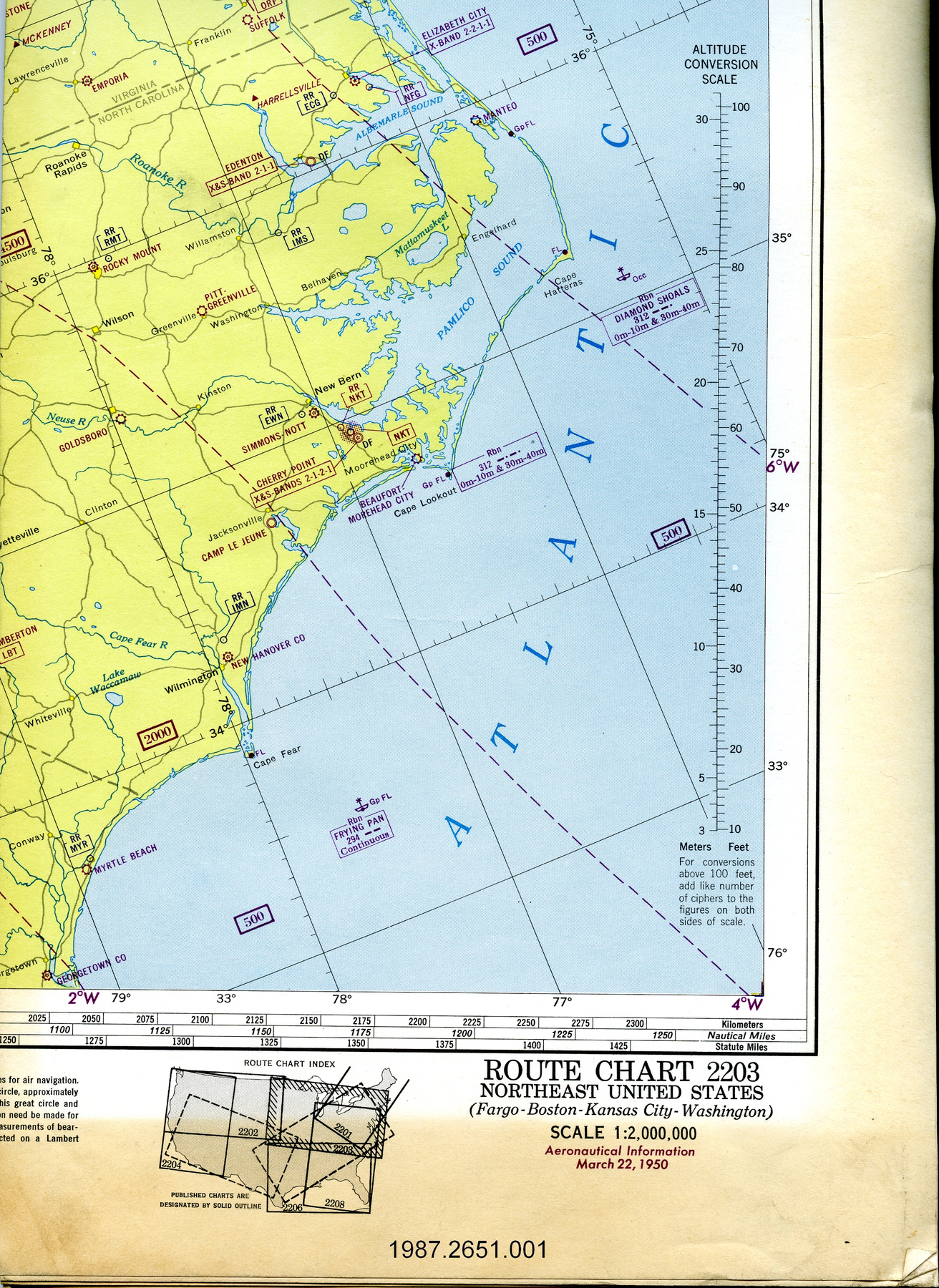
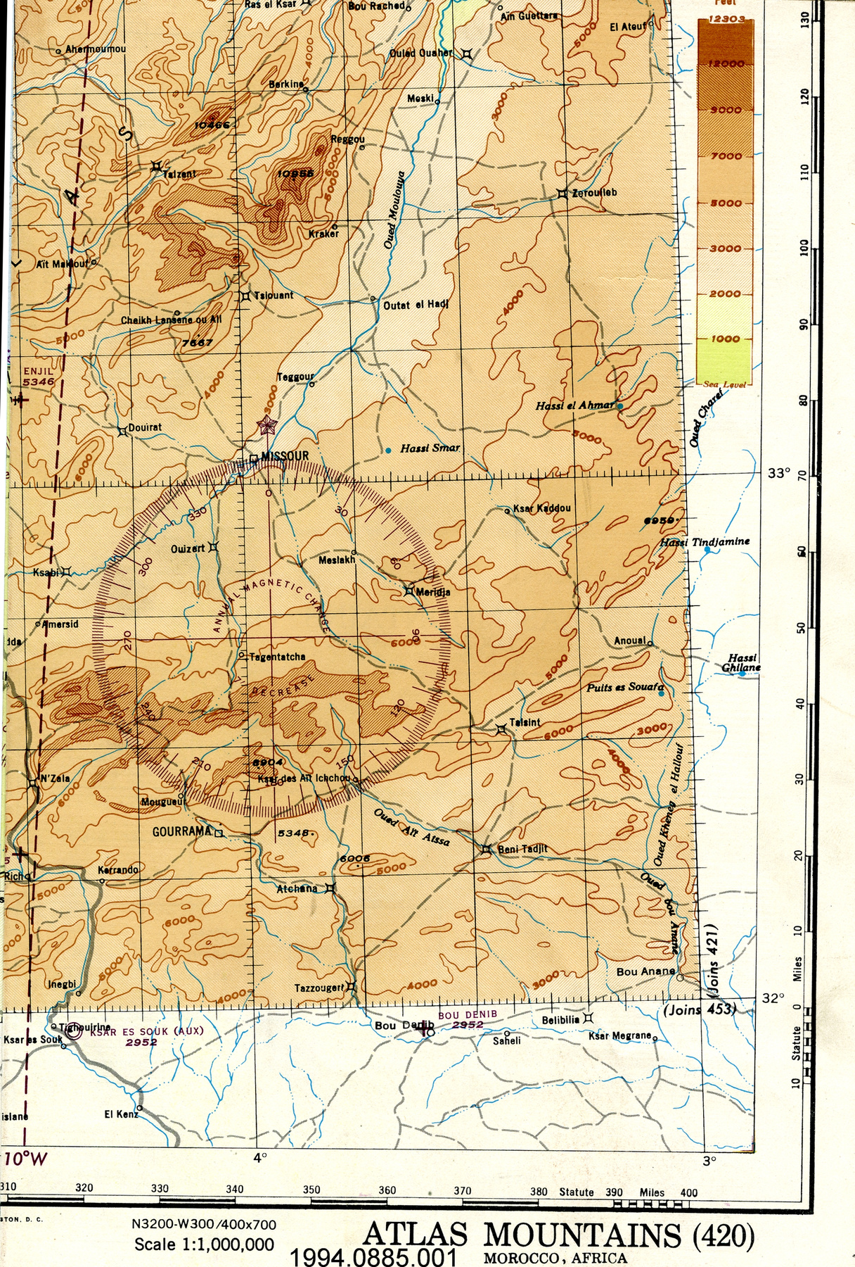
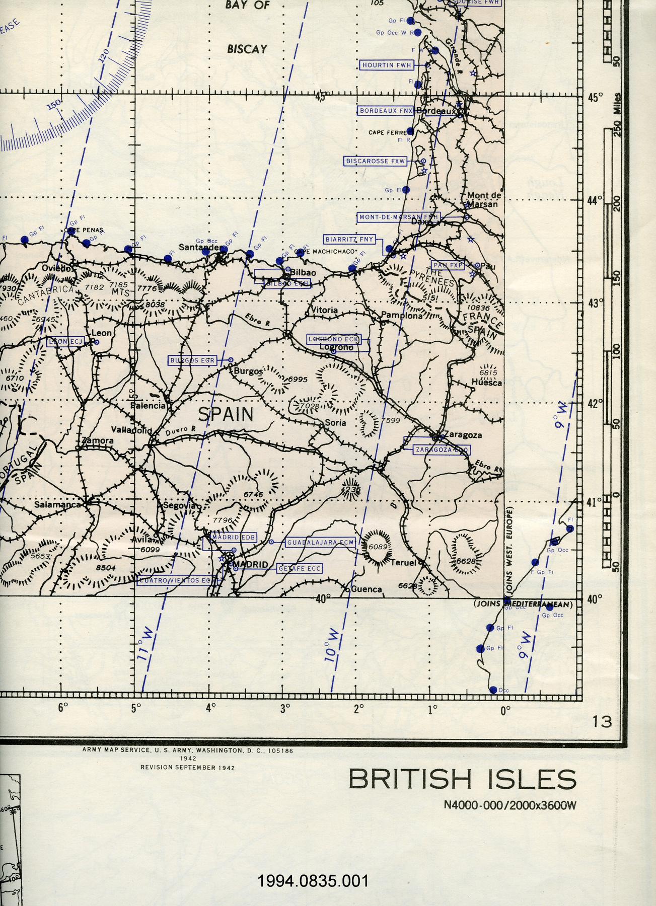
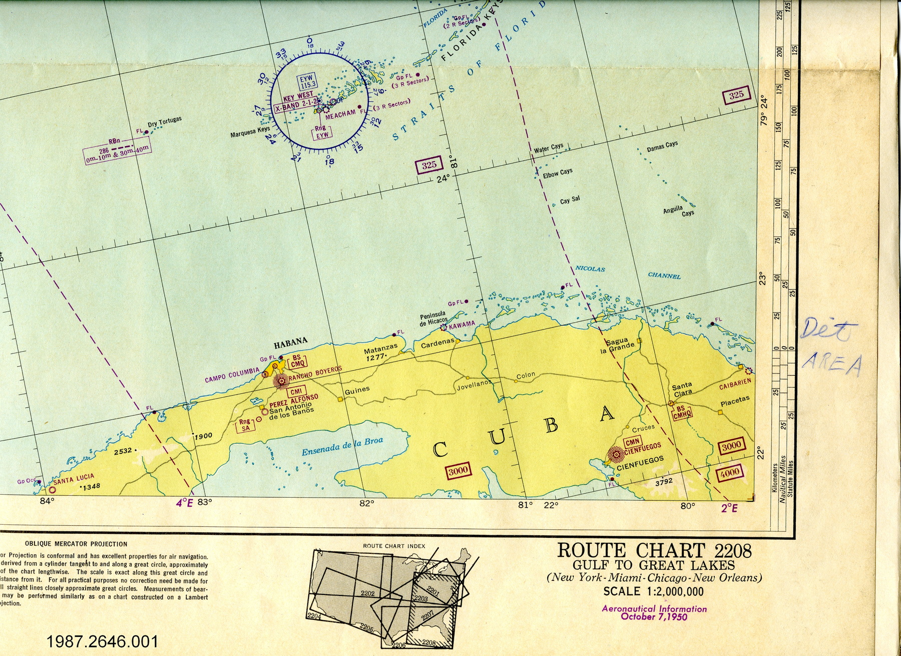
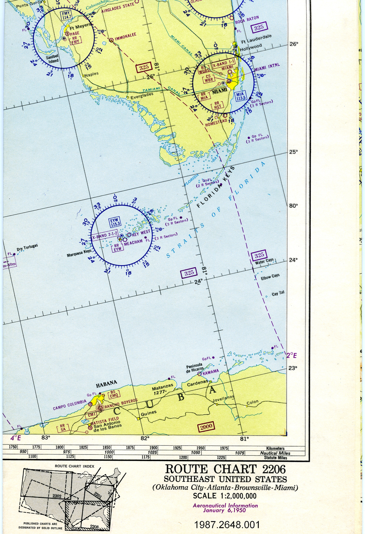
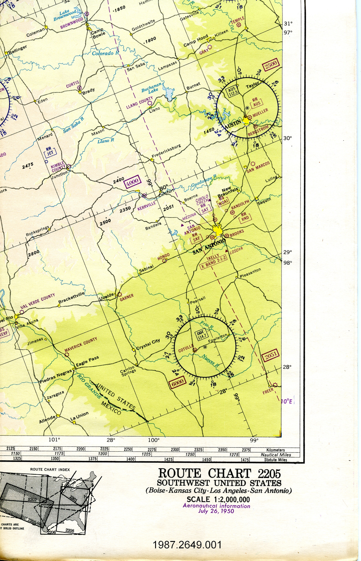
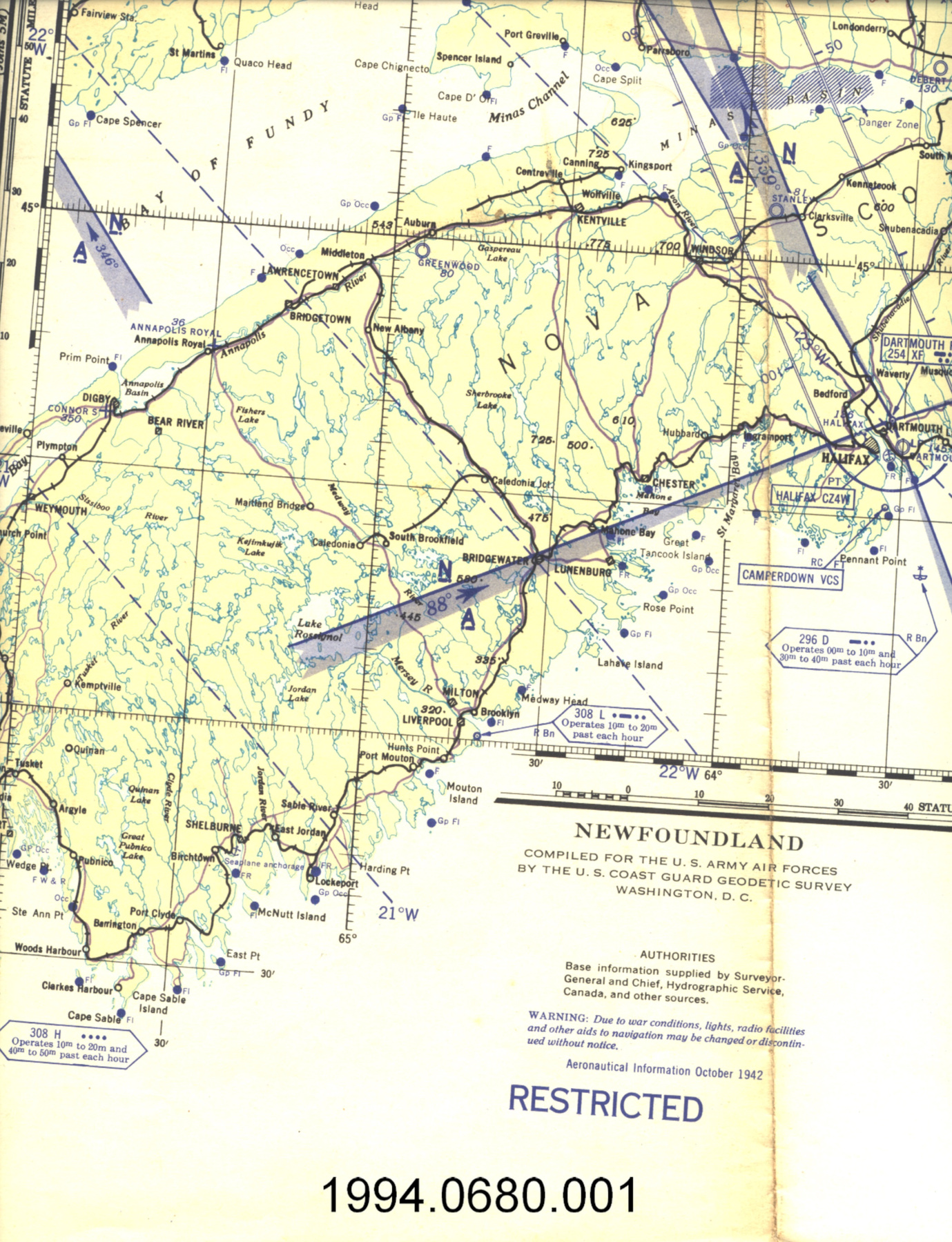
Carte
Utiliser cette image
Puis-je réutiliser cette image sans autorisation? Oui
Les images sur le portail de la collection d’Ingenium ont la licence Creative Commons suivante :
Copyright Ingenium / CC BY-NC-ND (Attribution-NonCommercial 4.0 International (CC BY-NC 4.0)
ATTRIBUER CETTE IMAGE
Ingenium,
1994.0680.001
Permalien:
Ingenium diffuse cette image sous le cadre de licence Creative Commons et encourage son téléchargement et sa réutilisation à des fins non commerciales. Veuillez mentionner Ingenium et citer le numéro de l’artefact.
TÉLÉCHARGER L’IMAGEACHETER CETTE IMAGE
Cette image peut être utilisée gratuitement pour des fins non commerciales.
Pour un usage commercial, veuillez consulter nos frais de reproduction et communiquer avec nous pour acheter l’image.
- TYPE D’OBJET
- topographical/aeronautical
- DATE
- 1942–1945
- NUMÉRO DE L’ARTEFACT
- 1994.0680.001
- FABRICANT
- U.S. Coast Guard Geodetic Survey
- MODÈLE
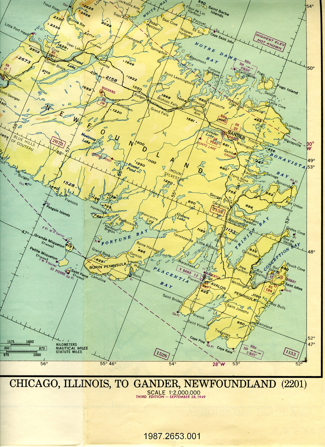
- Newfoundland
- EMPLACEMENT
- Washington, District of Columbia, United States of America
Plus d’information
Renseignements généraux
- Nº de série
- S/O
- Nº de partie
- 1
- Nombre total de parties
- 1
- Ou
- S/O
- Brevets
- S/O
- Description générale
- paper
Dimensions
Remarque : Cette information reflète la taille générale pour l’entreposage et ne représente pas nécessairement les véritables dimensions de l’objet.
- Longueur
- 127,0 cm
- Largeur
- 71,3 cm
- Hauteur
- S/O
- Épaisseur
- S/O
- Poids
- S/O
- Diamètre
- S/O
- Volume
- S/O
Lexique
- Groupe
- Aviation
- Catégorie
- Instruments et équipement de navigation
- Sous-catégorie
- S/O
Fabricant
- Ou
- Survey US
- Pays
- United States of America
- État/province
- District of Columbia
- Ville
- Washington
Contexte
- Pays
- Inconnu
- État/province
- Inconnu
- Période
- WWII (1939-1945)/ this map not dated but based on aeronautical information compiled Oct. 1942
- Canada
-
Inconnu - Fonction
-
two dimensional graphic representation of a section of the earth's surface/used for aerial navigation - Technique
-
Inconnu - Notes sur la région
-
Inconnu
Détails
- Marques
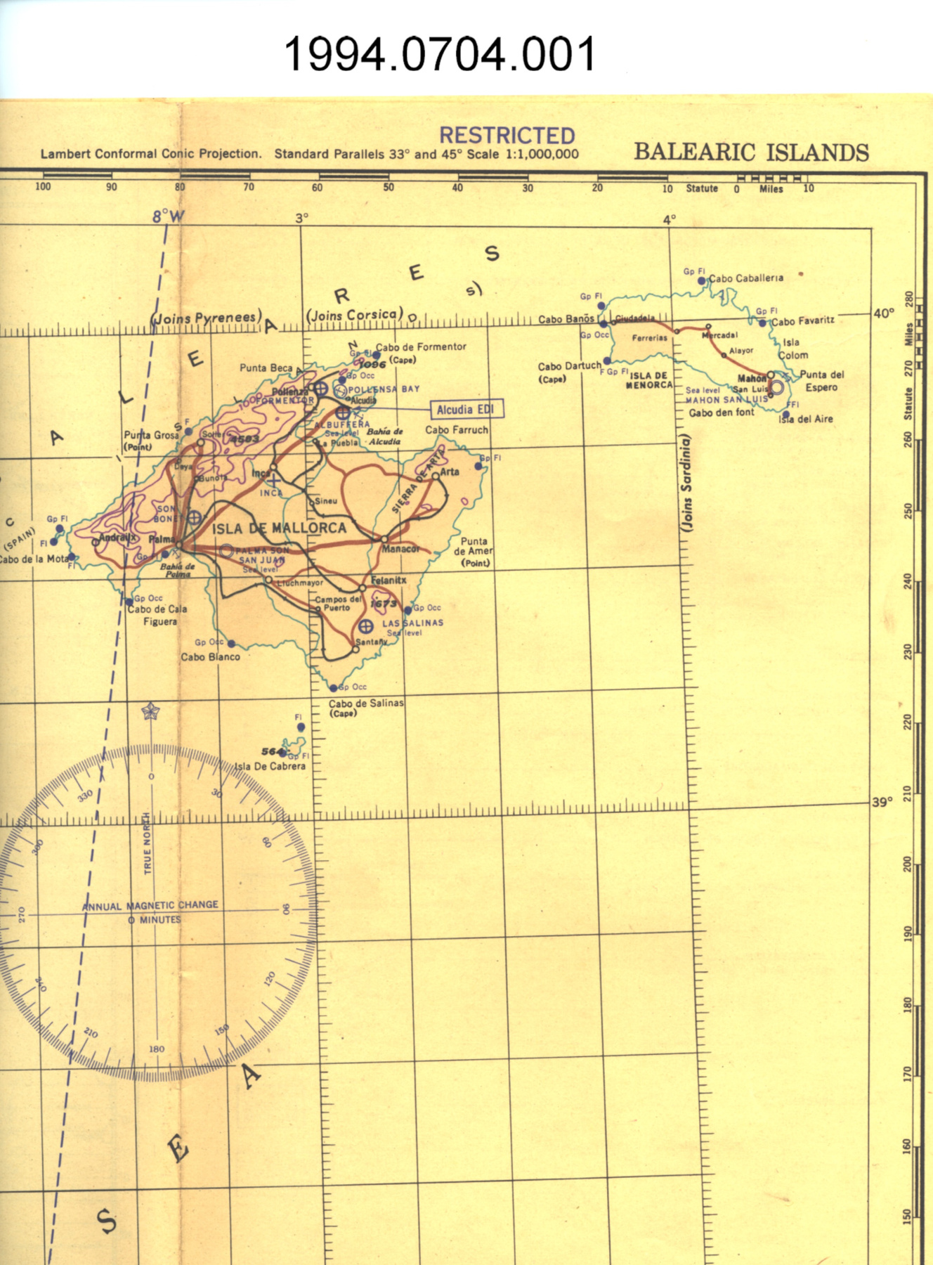
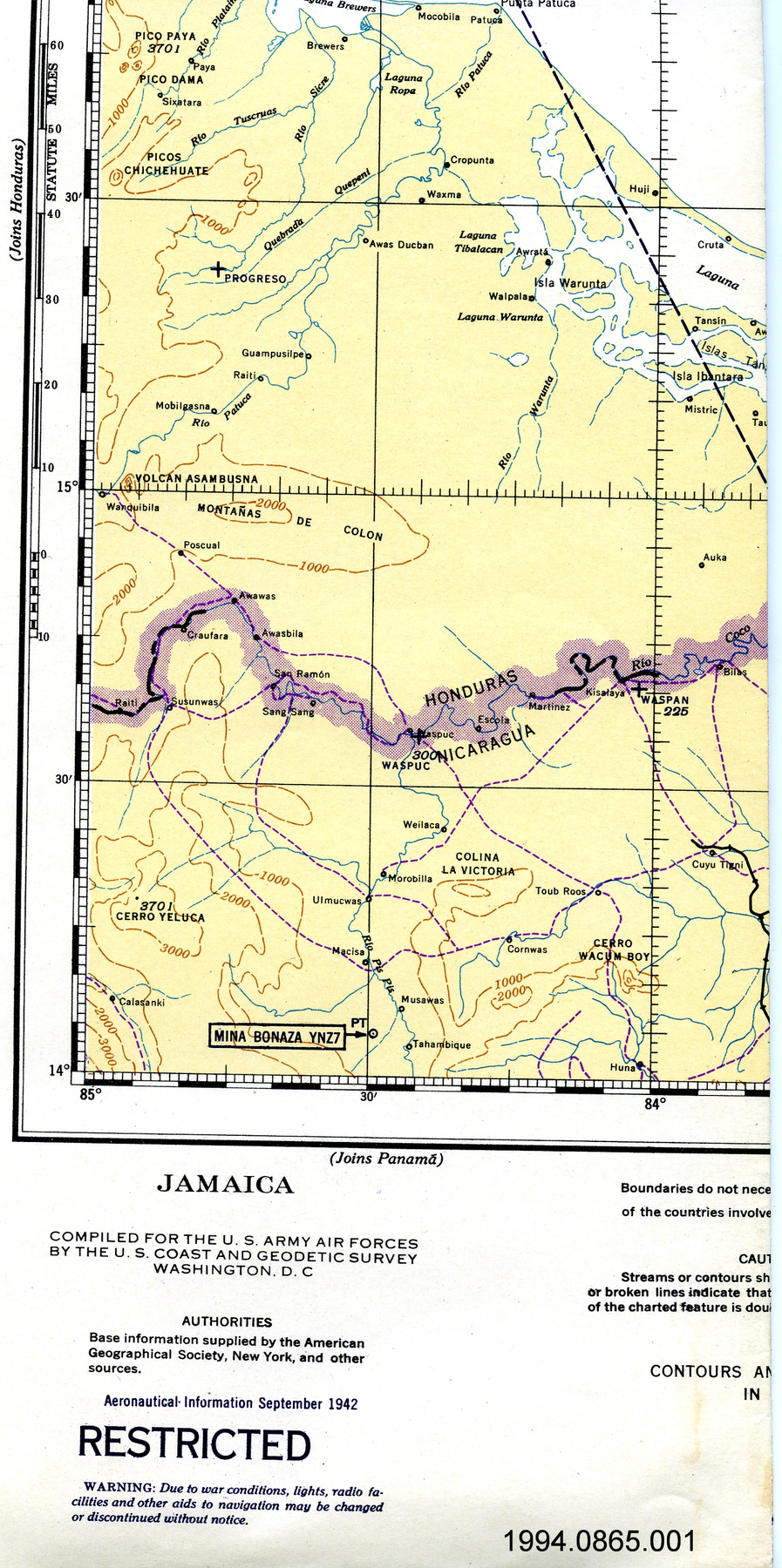
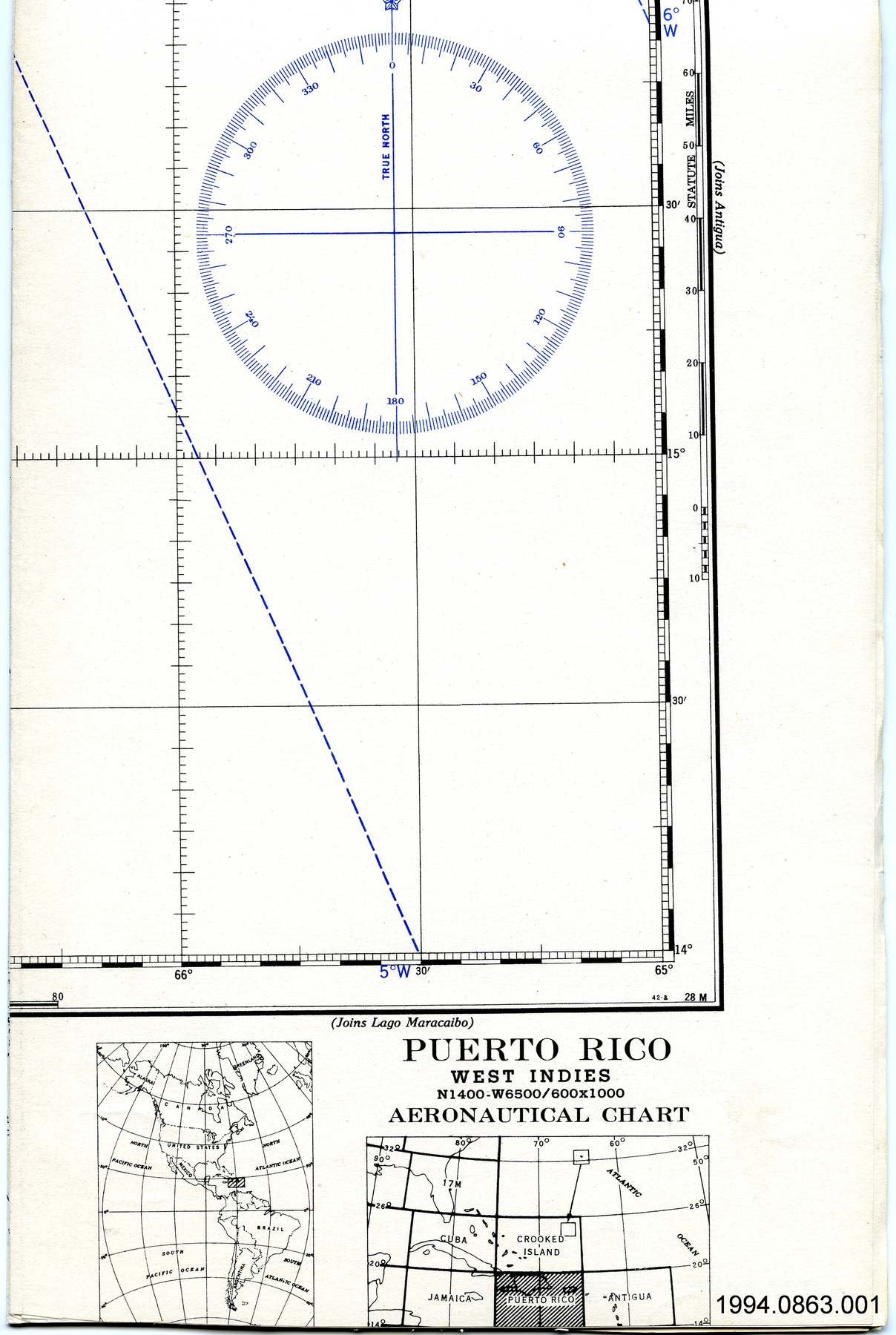
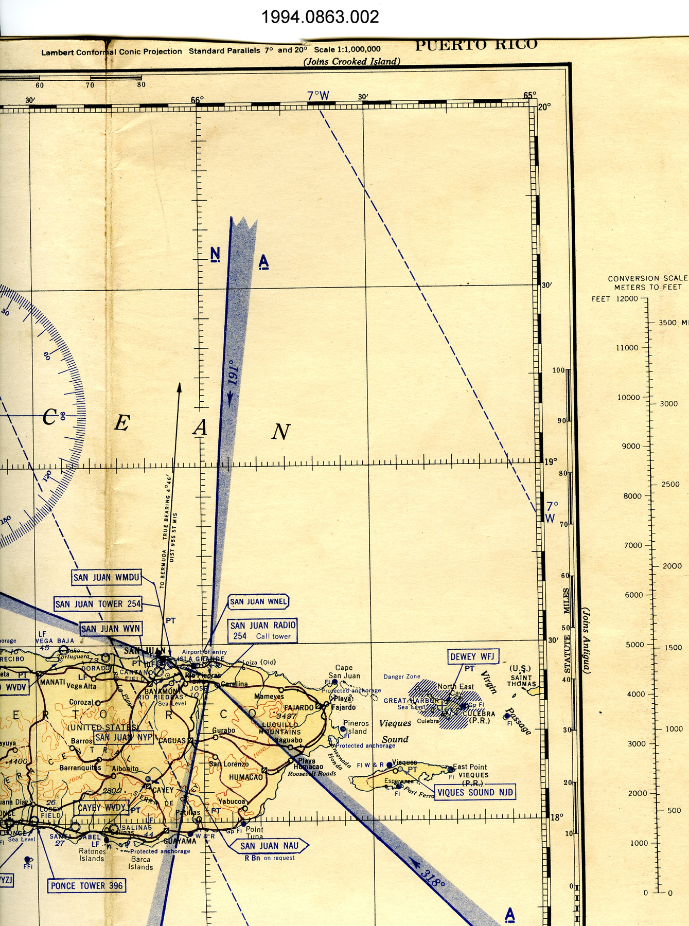
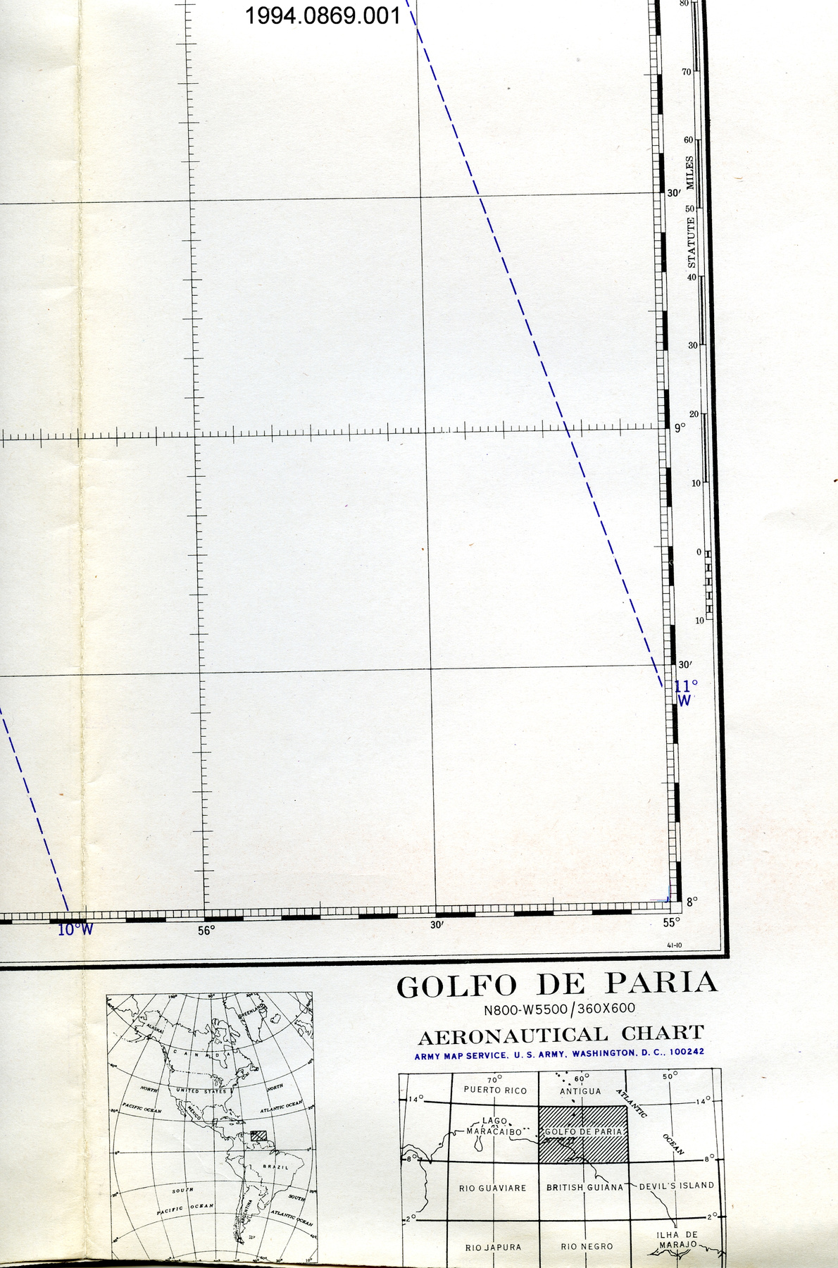
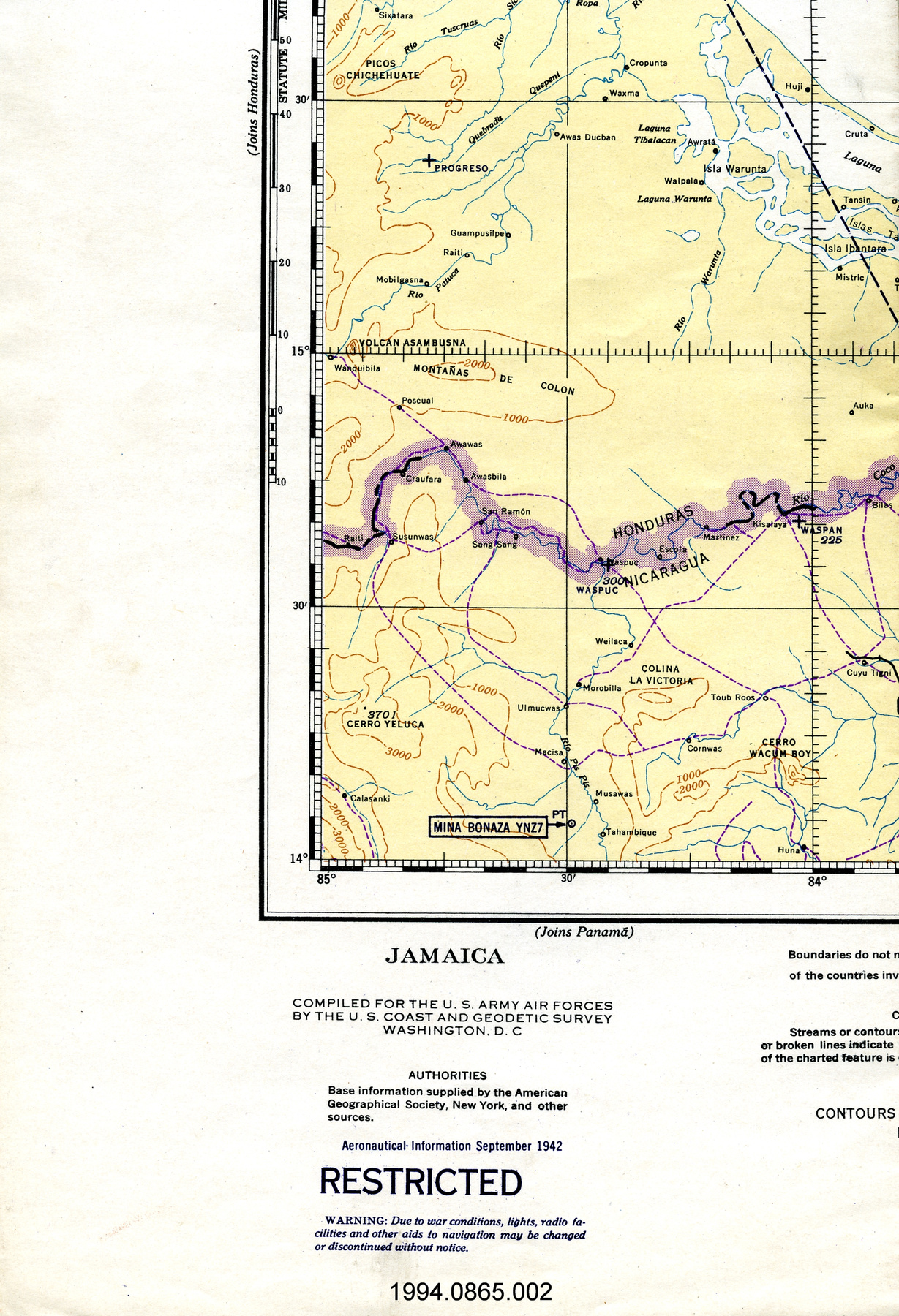
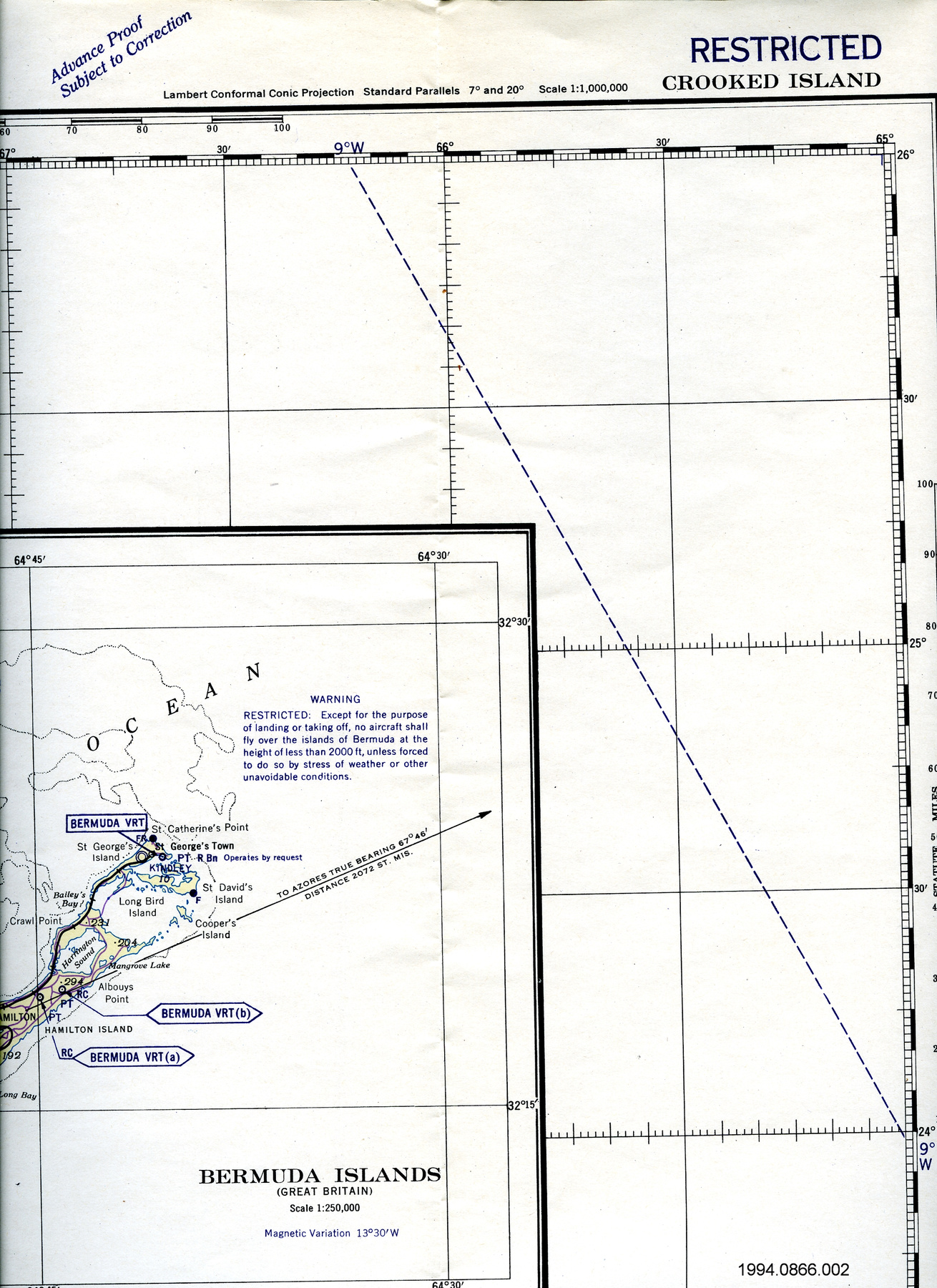
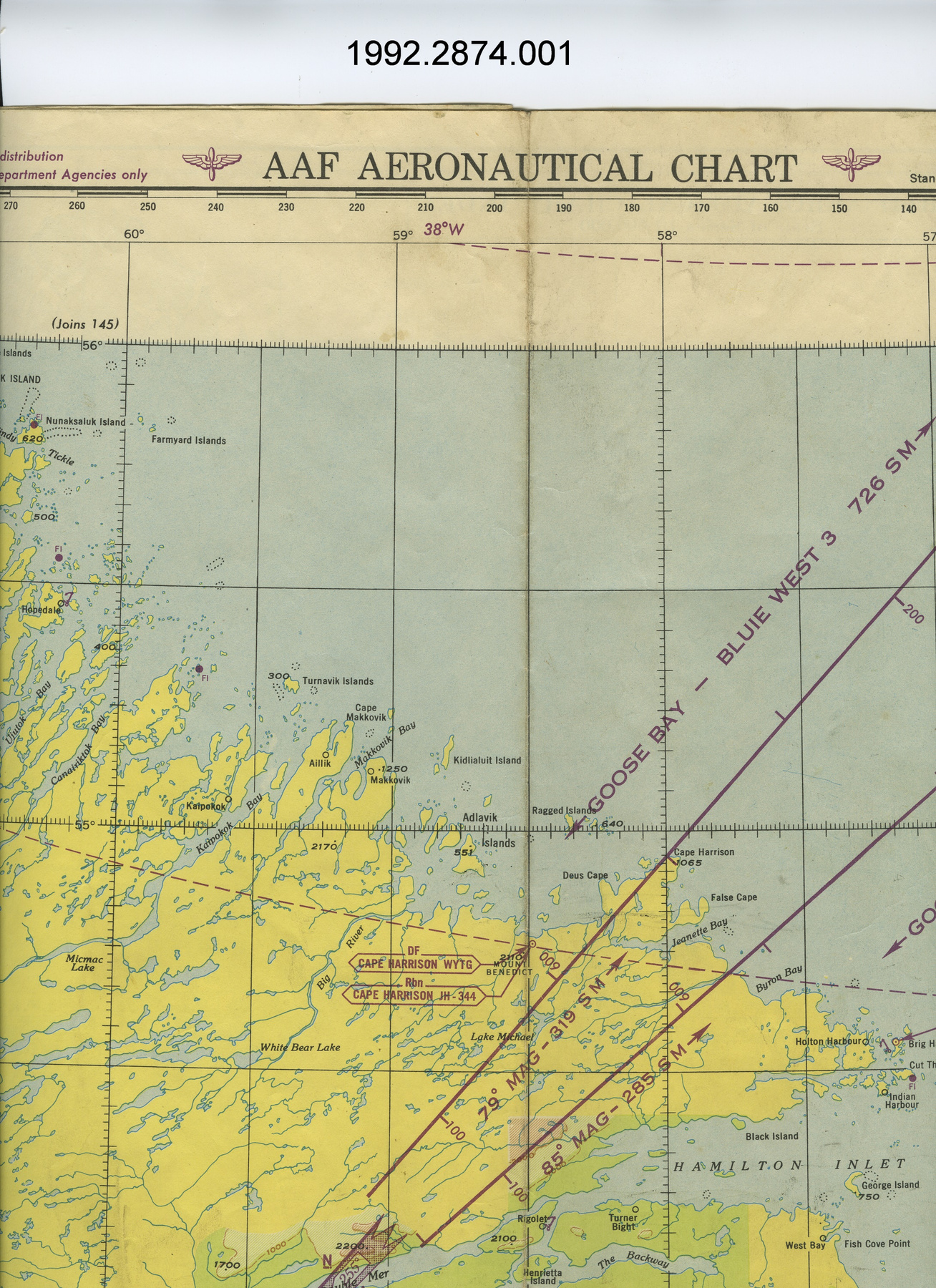
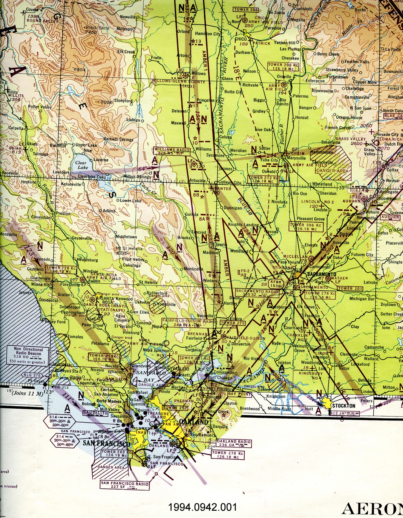
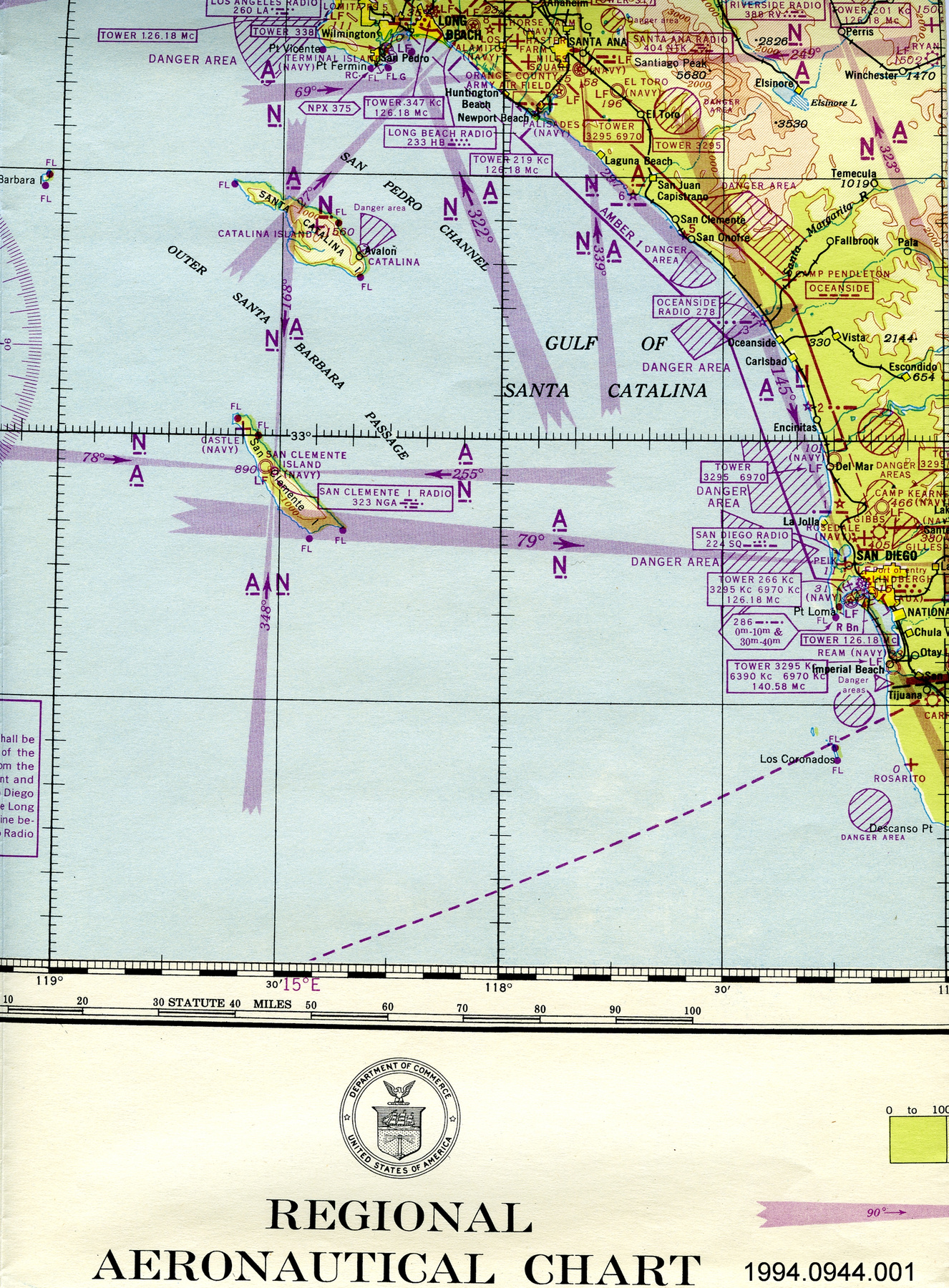
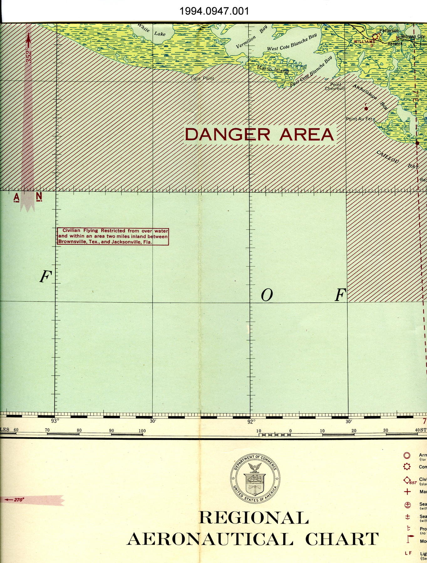
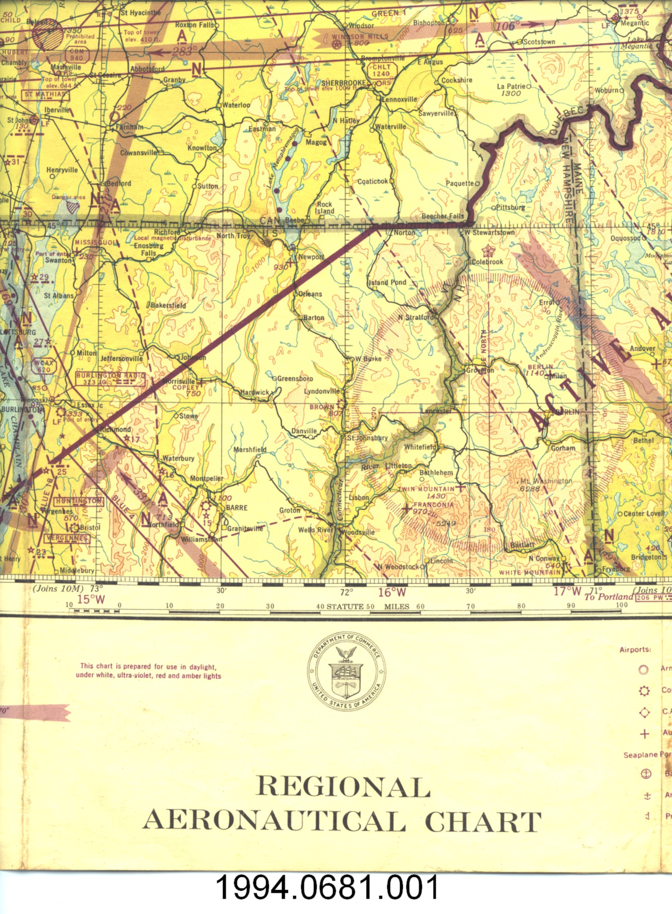
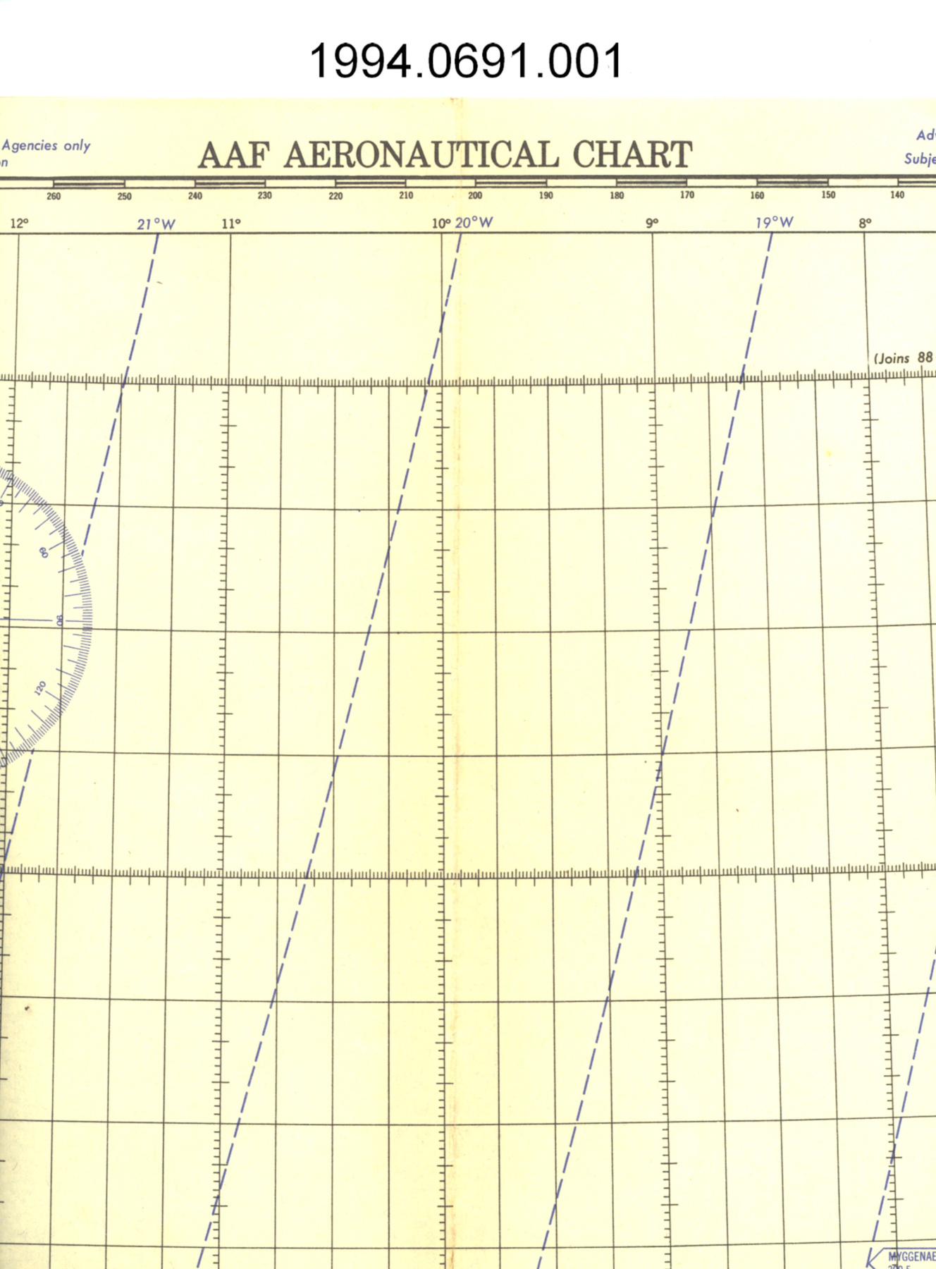
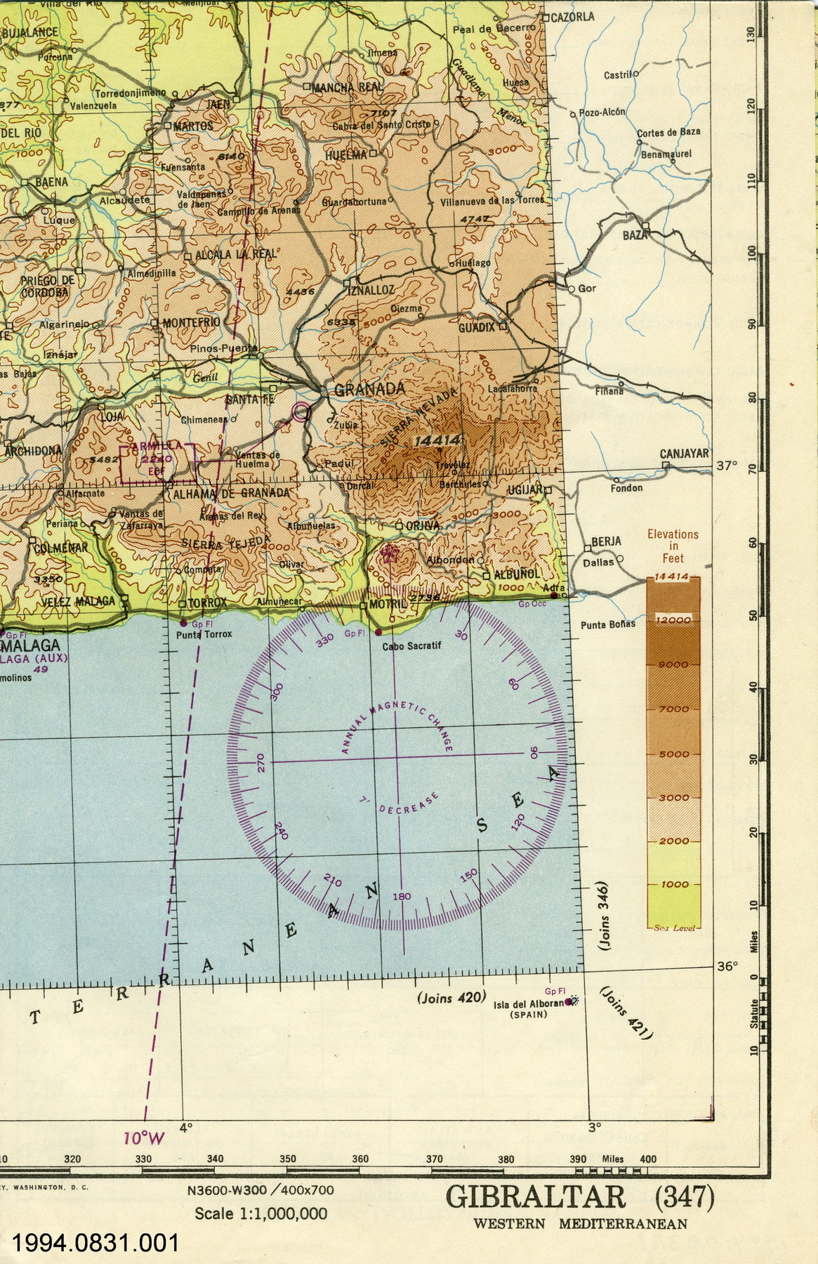
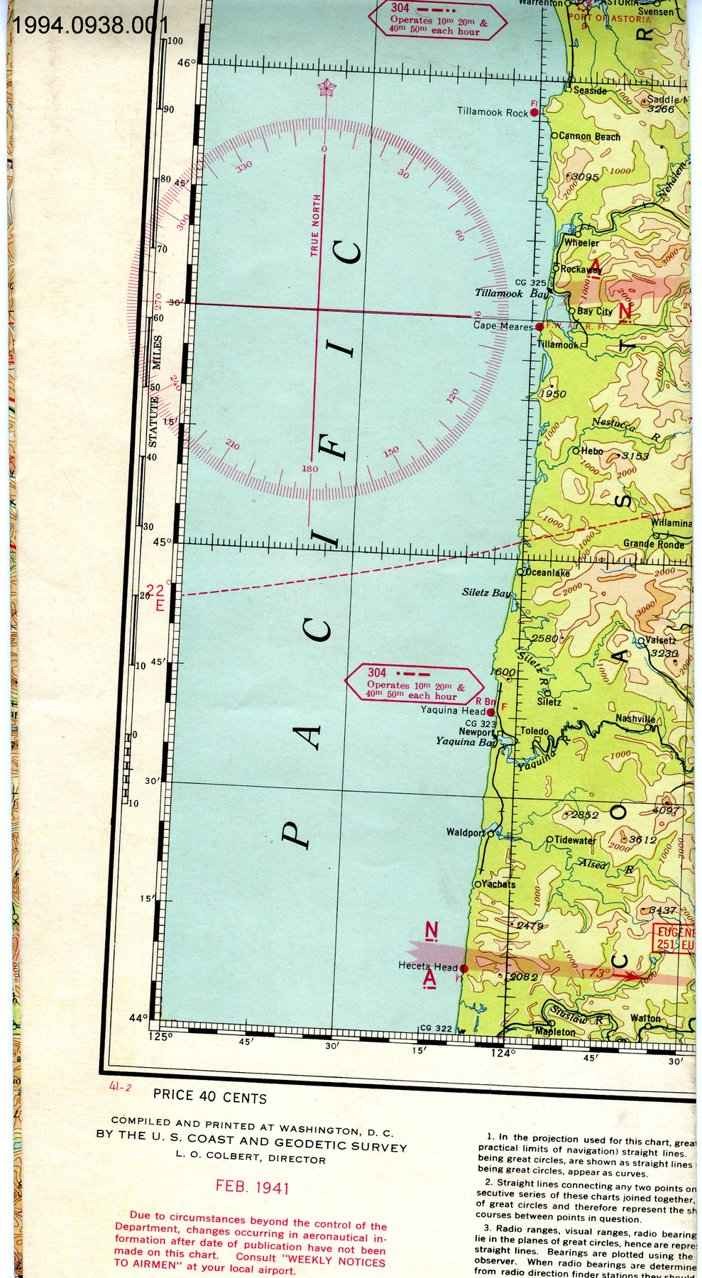
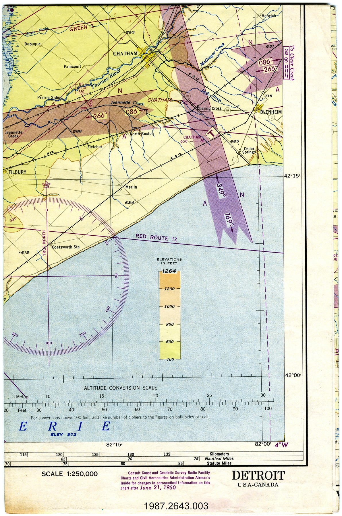
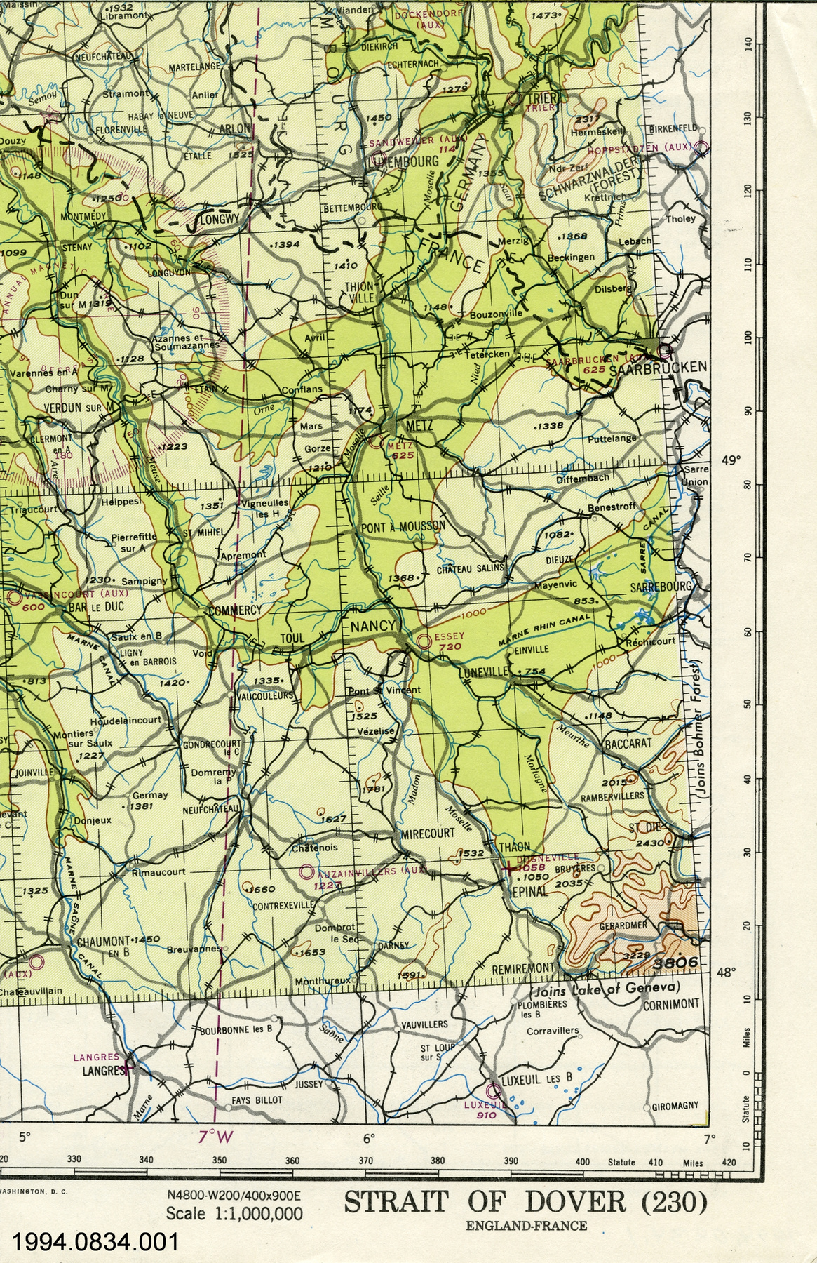
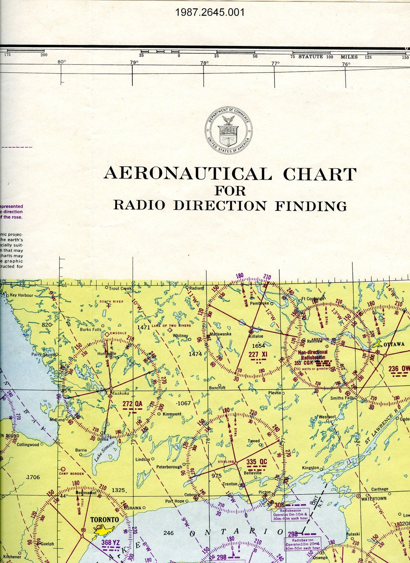
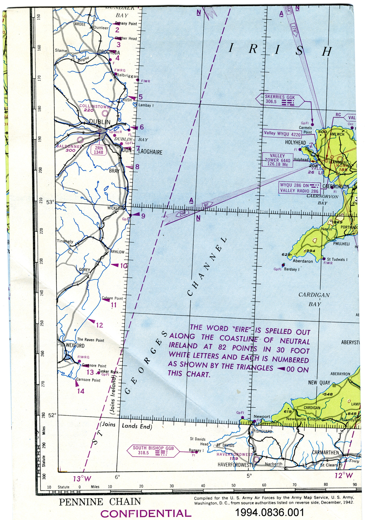
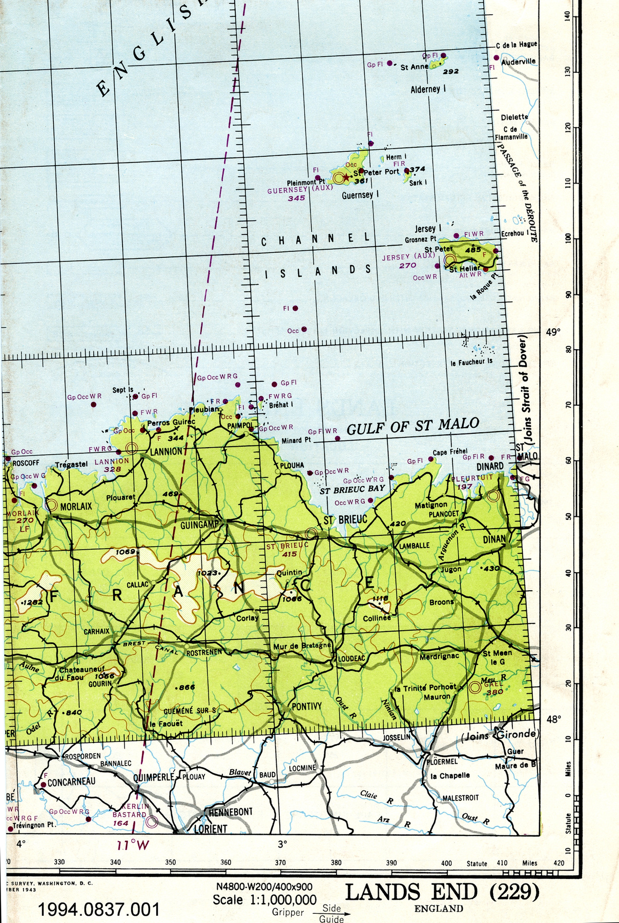
- lettering printed on border above map reads: "NEWFOUNDLAND N440-W5100/500X1500/REGIONAL AERONAUTICAL CHART/Lambert Conformal Conic Projection Standard Parallels 33 [degrees] and 45 [degrees] Scale 1:1,000,000/RESTRICTED/NEWFOUNDLAND"; lettering printed on border below map reads: "NEWFOUNDLAND/COMPILED FOR THE U.S. ARMY AIR FORCES/BY THE U.S. COAST GUARD GEODETIC SURVEY/WASHINGTON, D.C./AUTHORITIES/Base information supplied by Surveyor-/General and Chief, Hydrographic Service, Canada, and other sources./WARNING: Due to war conditions, lights, radio facilities/and other aids to navigation may be changed or discontin-/ued without notice./Aeronautical Information October 1942/RESTRICTED/CAUTION/Streams or contoursshown on this chart by dashed/or broken lines indicate that the exact position or shape/of the charted feature is doubtful./CONTOURS AND ELEVATIONS/IN FEET/For use by/War and Navy Dept. Agencies only./Not for sale or distribution./NOTE: Officers using this chart will mark hereon/corrections and additions which come to their/attention and mail direct to Map-Chart Division,/Headquarters Army Air Froces, Washington, D.C./Scale 1:1,000,000/NEWFOUNDLAND/N4400-W5100/500X1500/AERONAUTICAL CHART"
- Manque
- S/O
- Fini
- colour map on white background
- Décoration
- none
FAIRE RÉFÉRENCE À CET OBJET
Si vous souhaitez publier de l’information sur cet objet de collection, veuillez indiquer ce qui suit :
U.S. Coast Guard Geodetic Survey, Carte, entre 1942–1945, Numéro de l'artefact 1994.0680, Ingenium - Musées des sciences et de l'innovation du Canada, http://collections.ingeniumcanada.org/fr/id/1994.0680.001/
RÉTROACTION
Envoyer une question ou un commentaire sur cet artefact.
Plus comme ceci
