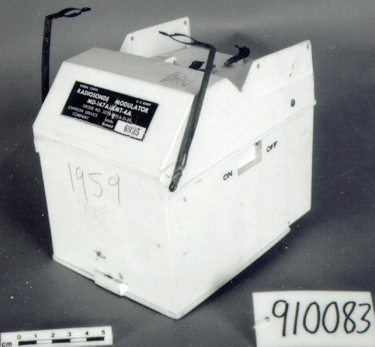
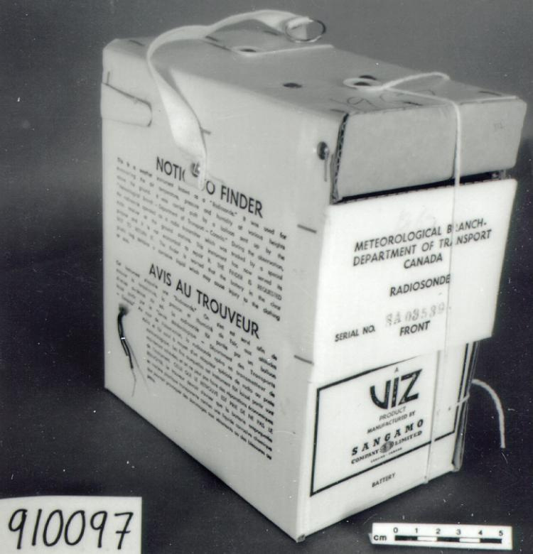
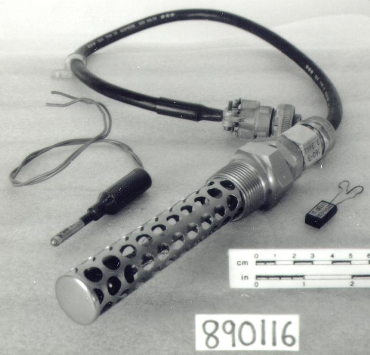
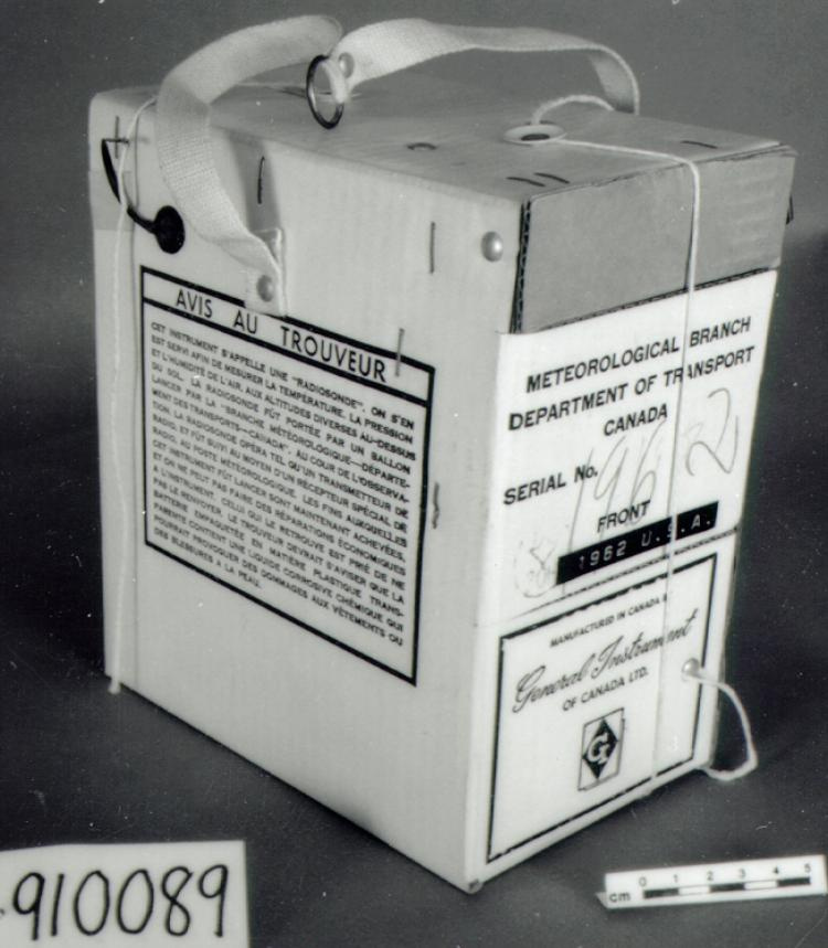
Radiosonde
Utiliser cette image
Puis-je réutiliser cette image sans autorisation? Oui
Les images sur le portail de la collection d’Ingenium ont la licence Creative Commons suivante :
Copyright Ingenium / CC BY-NC-ND (Attribution-NonCommercial 4.0 International (CC BY-NC 4.0)
ATTRIBUER CETTE IMAGE
Ingenium,
2004.0358.001
Permalien:
Ingenium diffuse cette image sous le cadre de licence Creative Commons et encourage son téléchargement et sa réutilisation à des fins non commerciales. Veuillez mentionner Ingenium et citer le numéro de l’artefact.
TÉLÉCHARGER L’IMAGEACHETER CETTE IMAGE
Cette image peut être utilisée gratuitement pour des fins non commerciales.
Pour un usage commercial, veuillez consulter nos frais de reproduction et communiquer avec nous pour acheter l’image.
- TYPE D’OBJET
- capacitance/Navaid/GPS
- DATE
- 1998
- NUMÉRO DE L’ARTEFACT
- 2004.0358.001
- FABRICANT
- Vaisala Oy
- MODÈLE
- RS80-15GH
- EMPLACEMENT
- Helsinki, Finlande
Plus d’information
Renseignements généraux
- Nº de série
- 811403301
- Nº de partie
- 1
- Nombre total de parties
- 2
- Ou
- S/O
- Brevets
- S/O
- Description générale
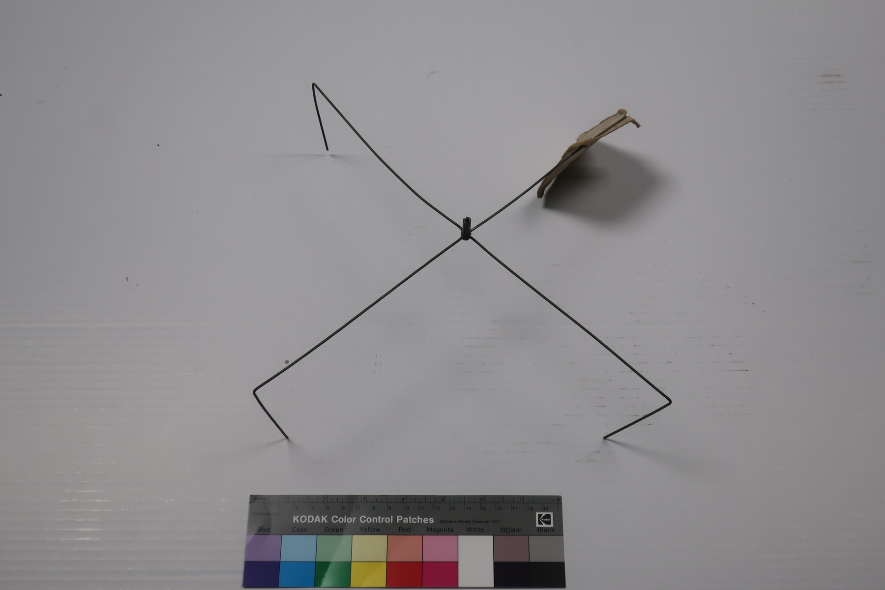
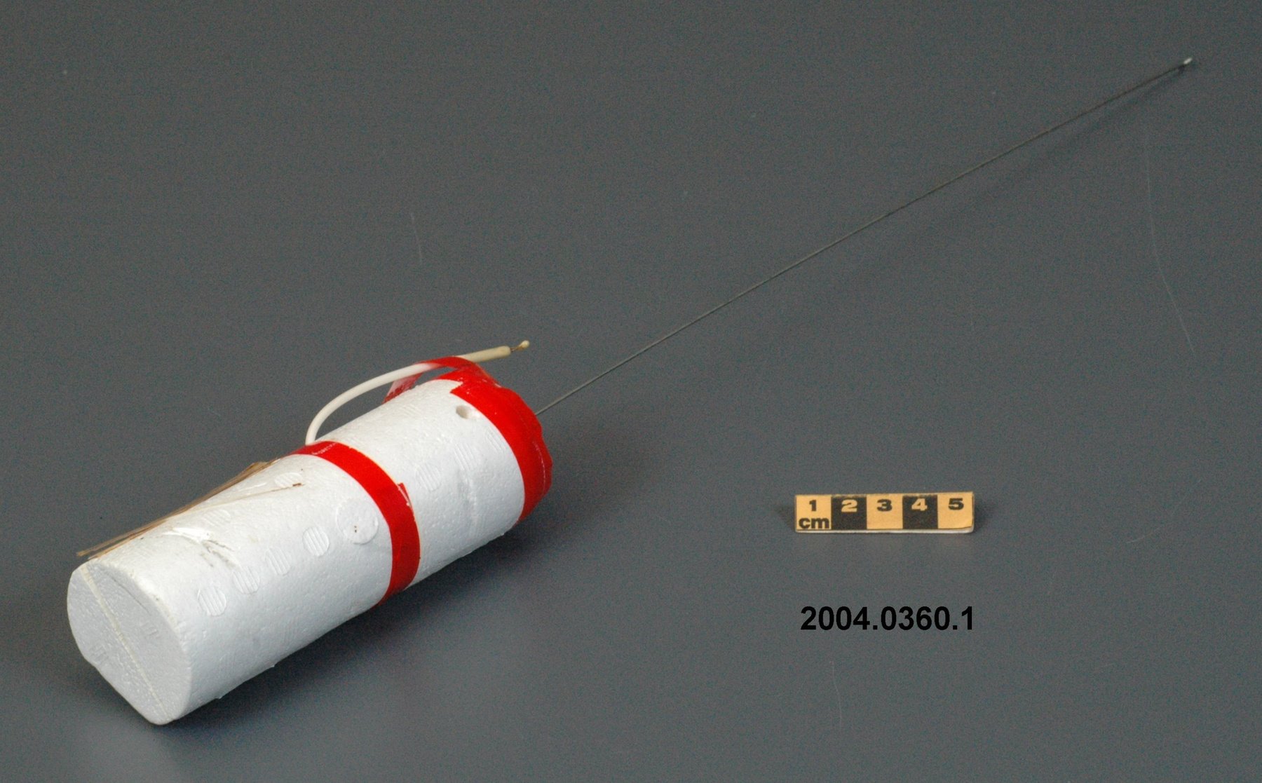
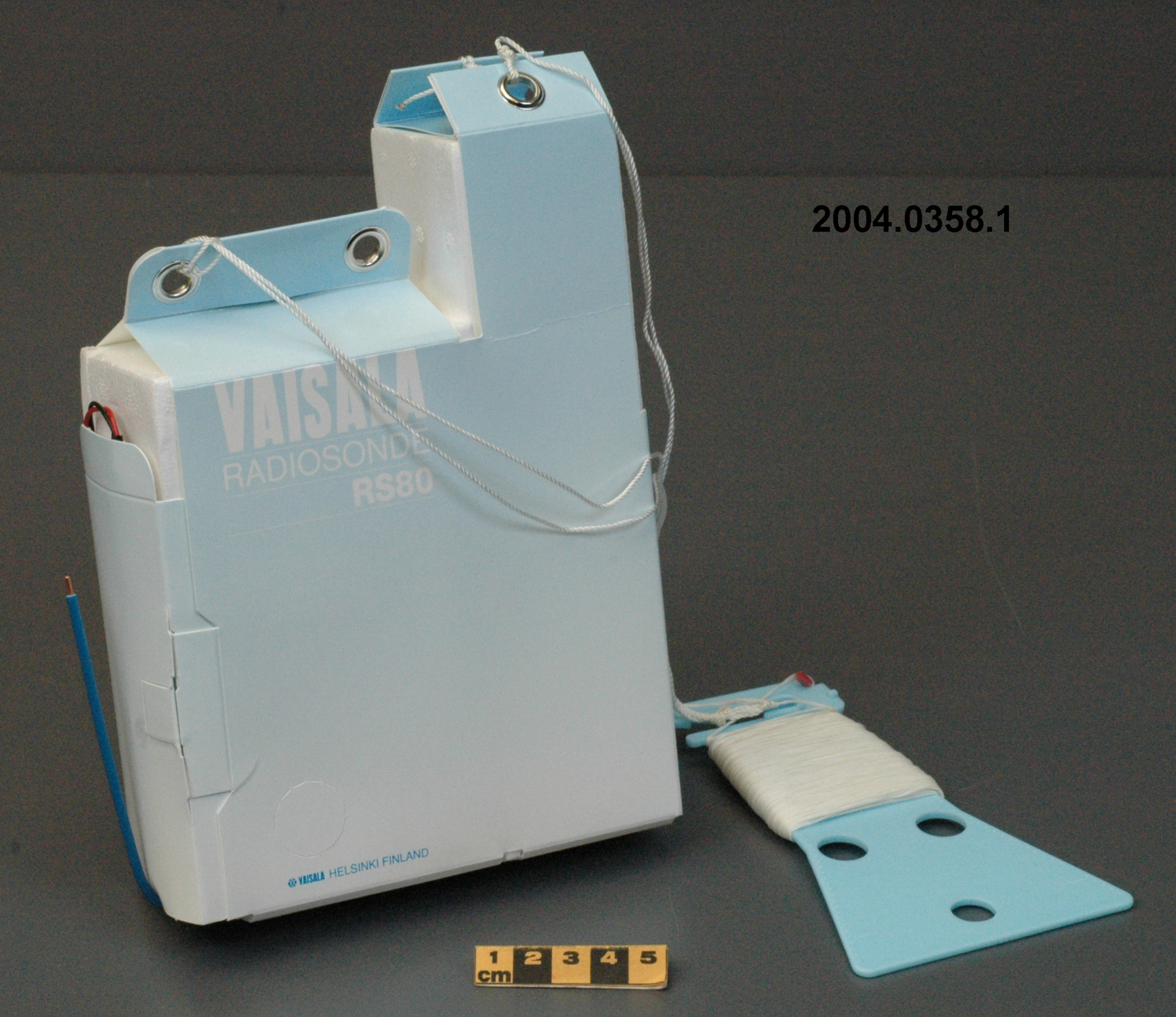
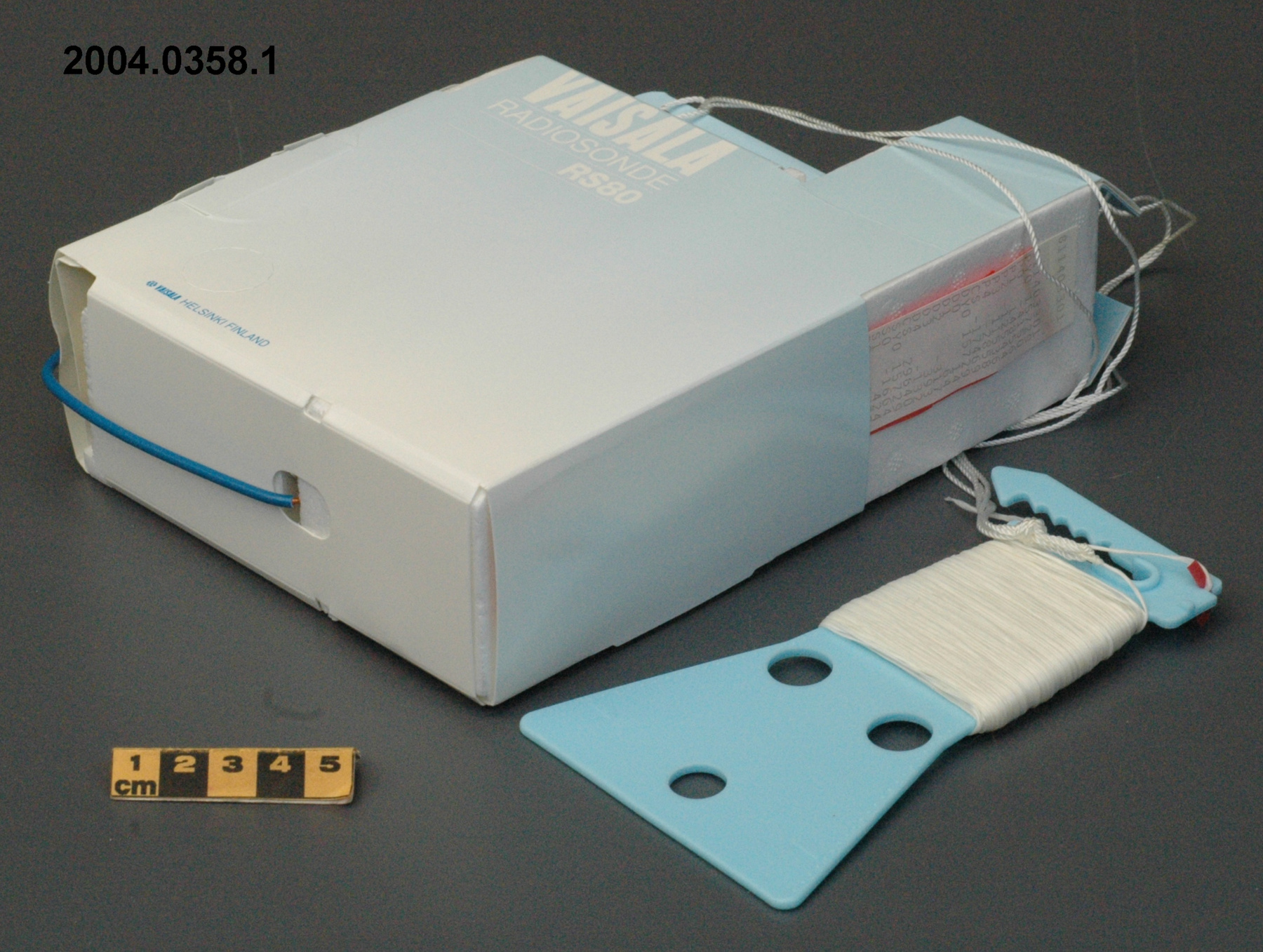
- styrofoam casing with cardboard covering/ synthetic antenna and wire coverings, hanger, parts/ metal wire, grommets, parts/ paper strips
Dimensions
Remarque : Cette information reflète la taille générale pour l’entreposage et ne représente pas nécessairement les véritables dimensions de l’objet.
- Longueur
- 21,0 cm
- Largeur
- 15,0 cm
- Hauteur
- S/O
- Épaisseur
- 6,0 cm
- Poids
- S/O
- Diamètre
- S/O
- Volume
- S/O
Lexique
- Groupe
- Météorologie
- Catégorie
- Mesure de vitesse et direction du vent en altitude
- Sous-catégorie
- S/O
Fabricant
- Ou
- Vaisala
- Pays
- Finlande
- État/province
- Inconnu
- Ville
- Helsinki
Contexte
- Pays
- Canada
- État/province
- Inconnu
- Période
- mid 1980's to early 2000's; this instrument was apparently in use for ten years (Ref. 7)
- Canada
-
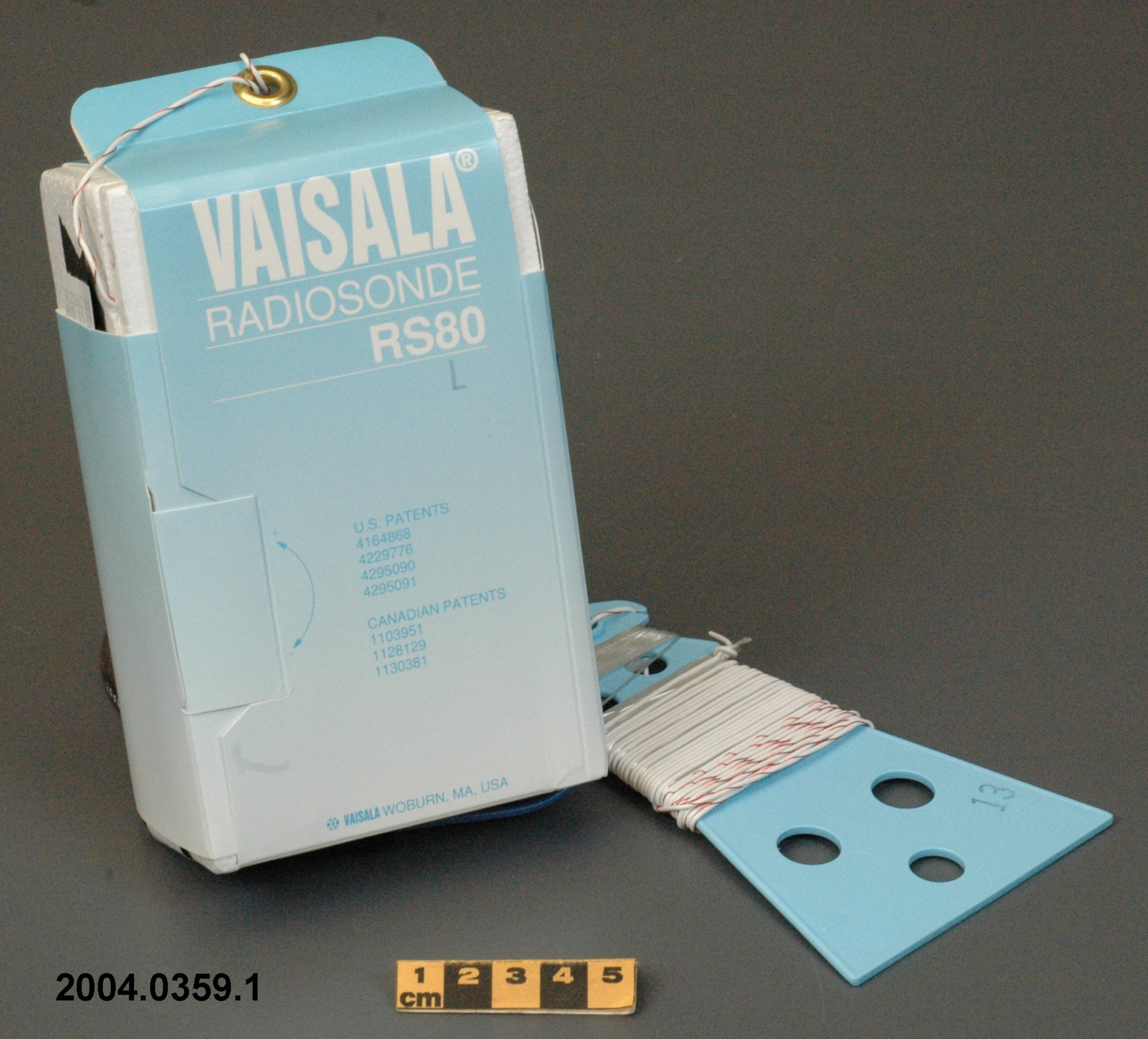
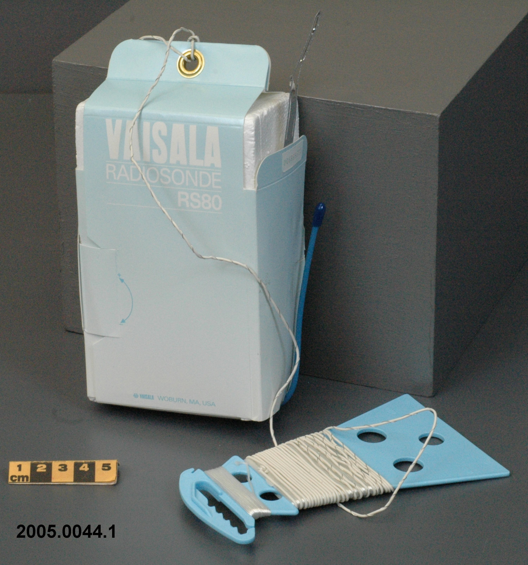
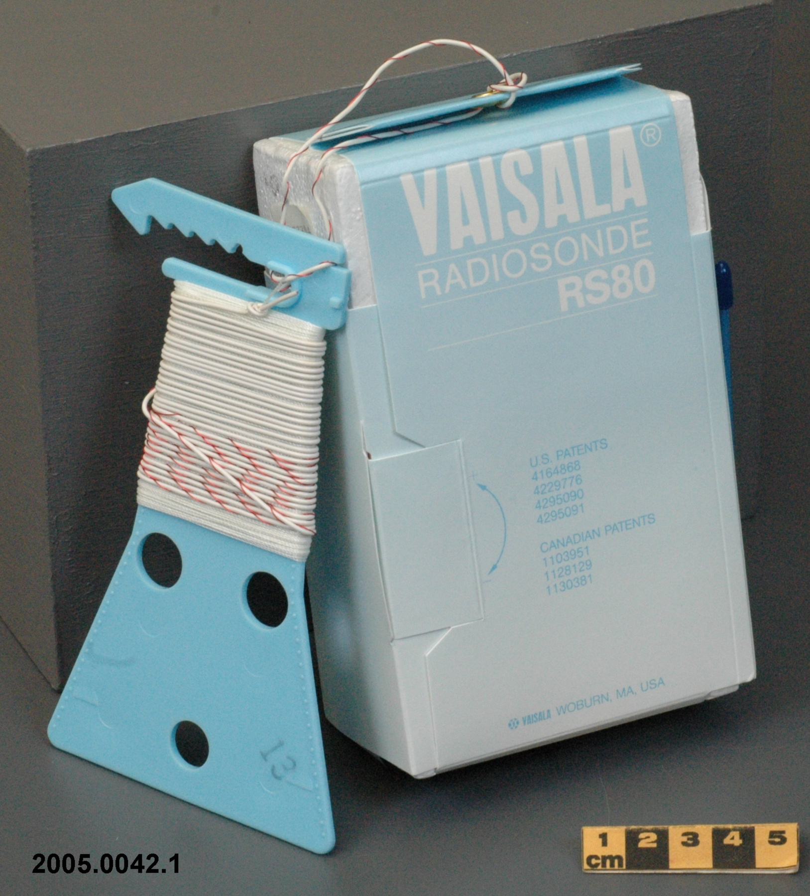
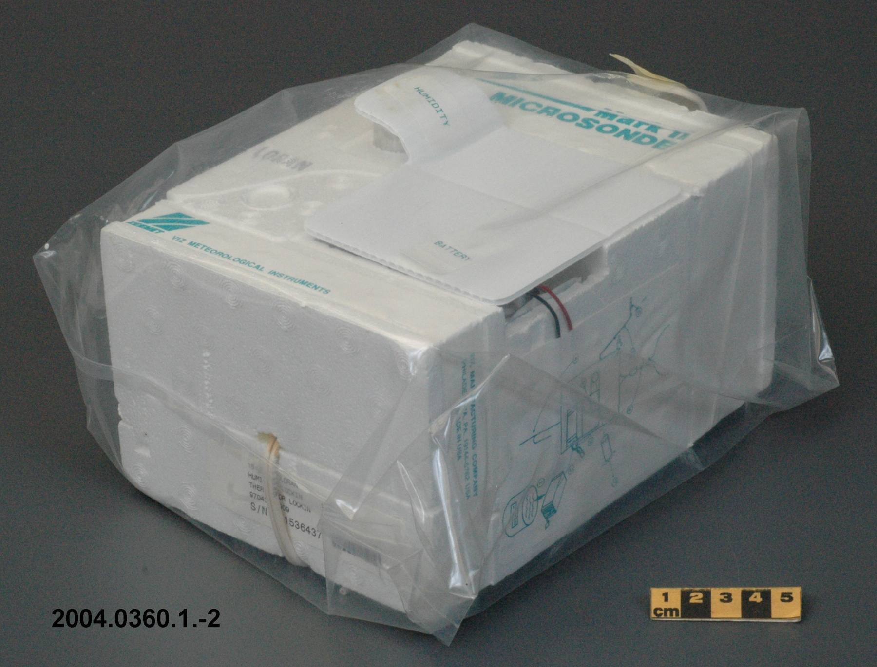
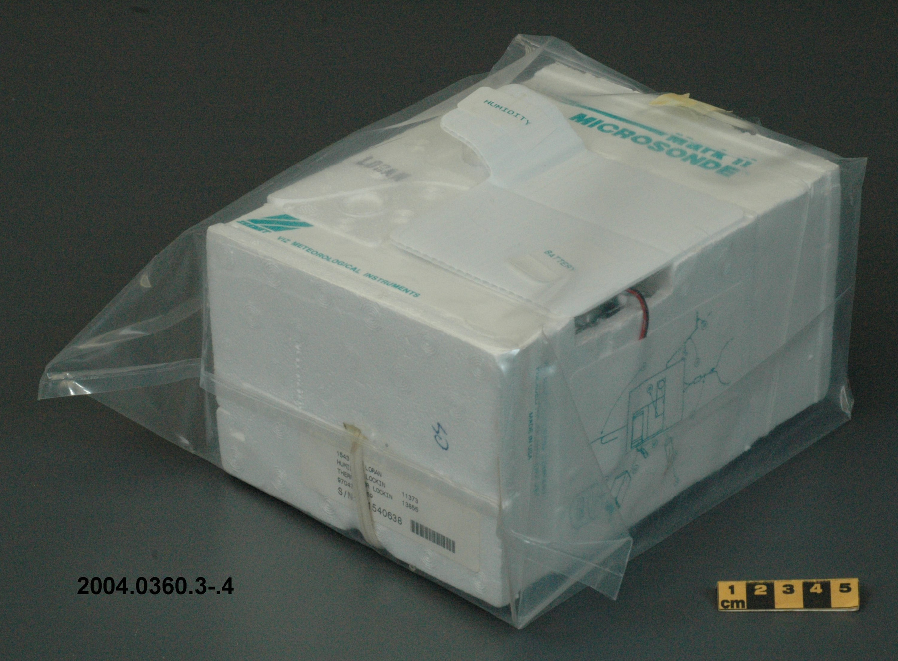
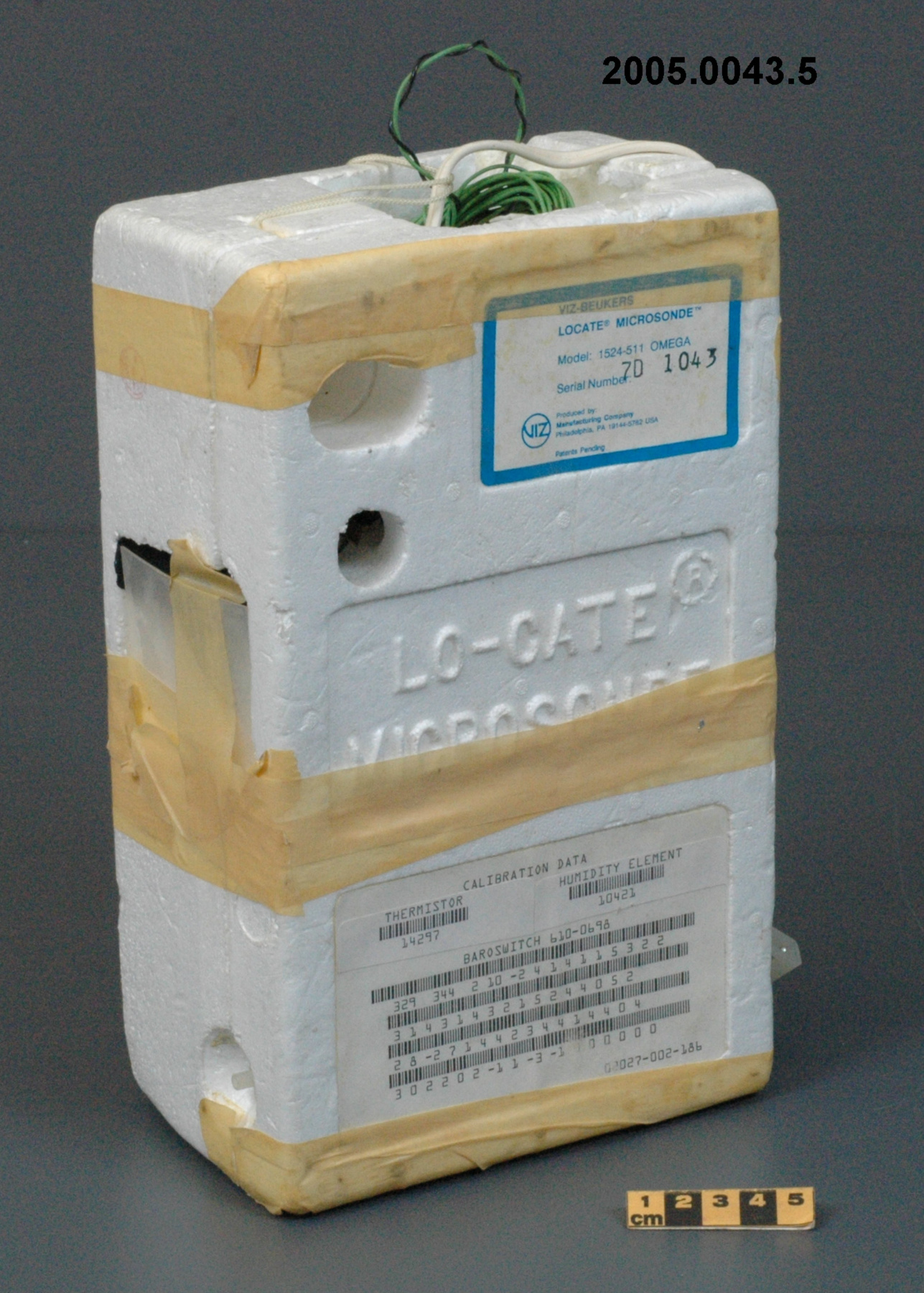
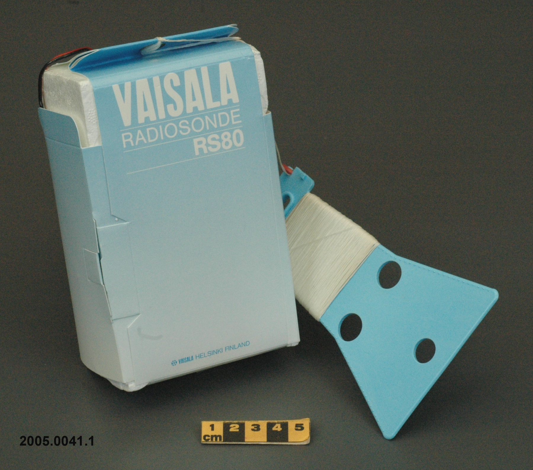
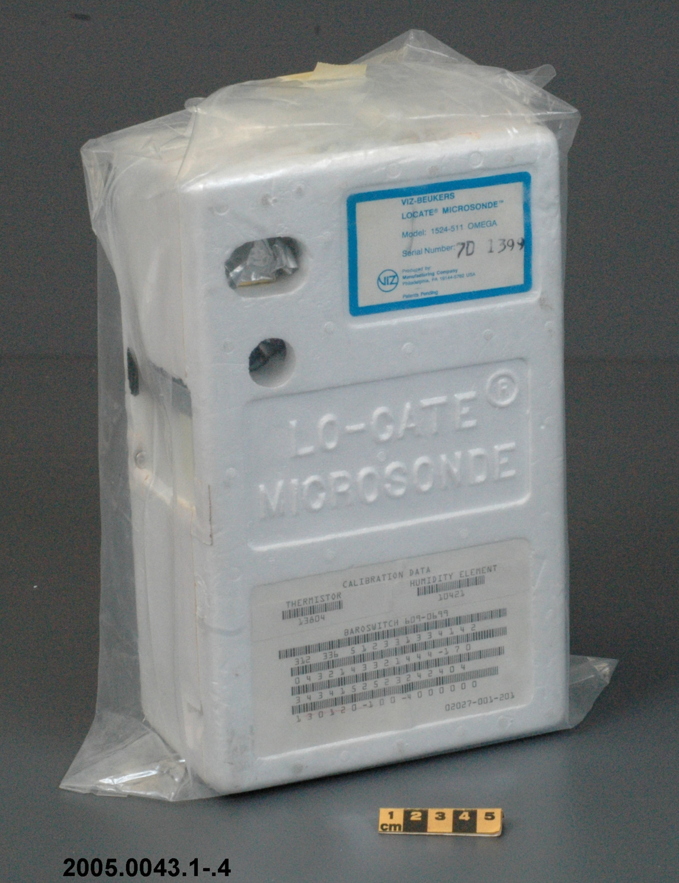
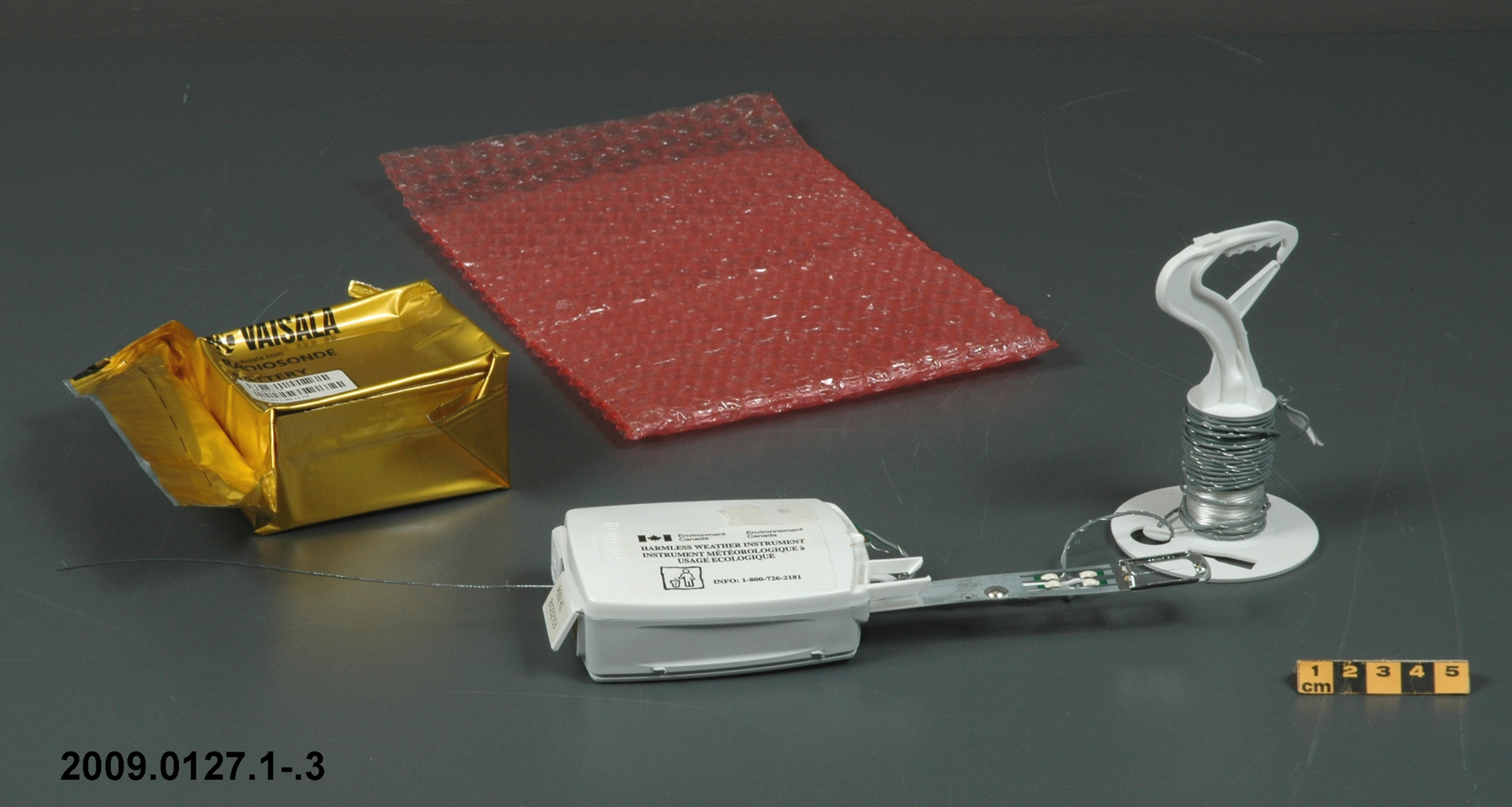
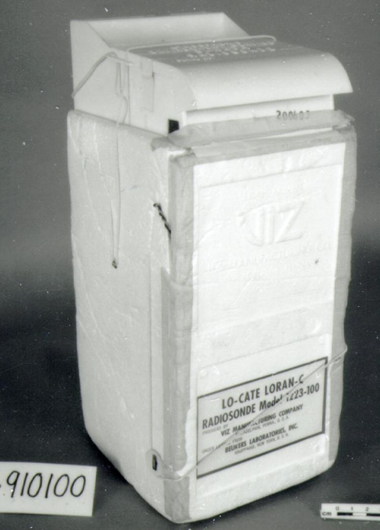
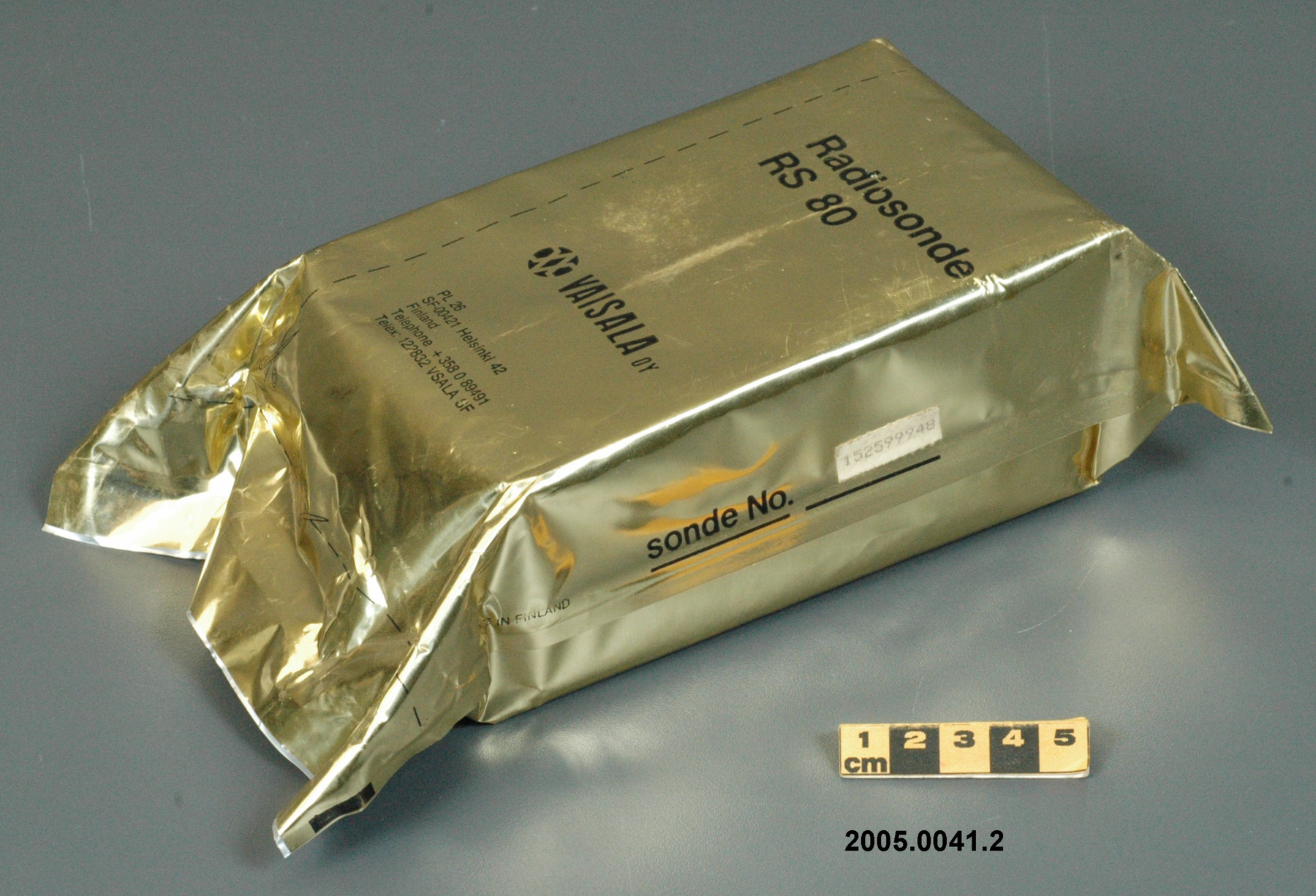
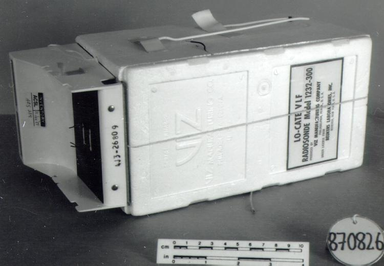
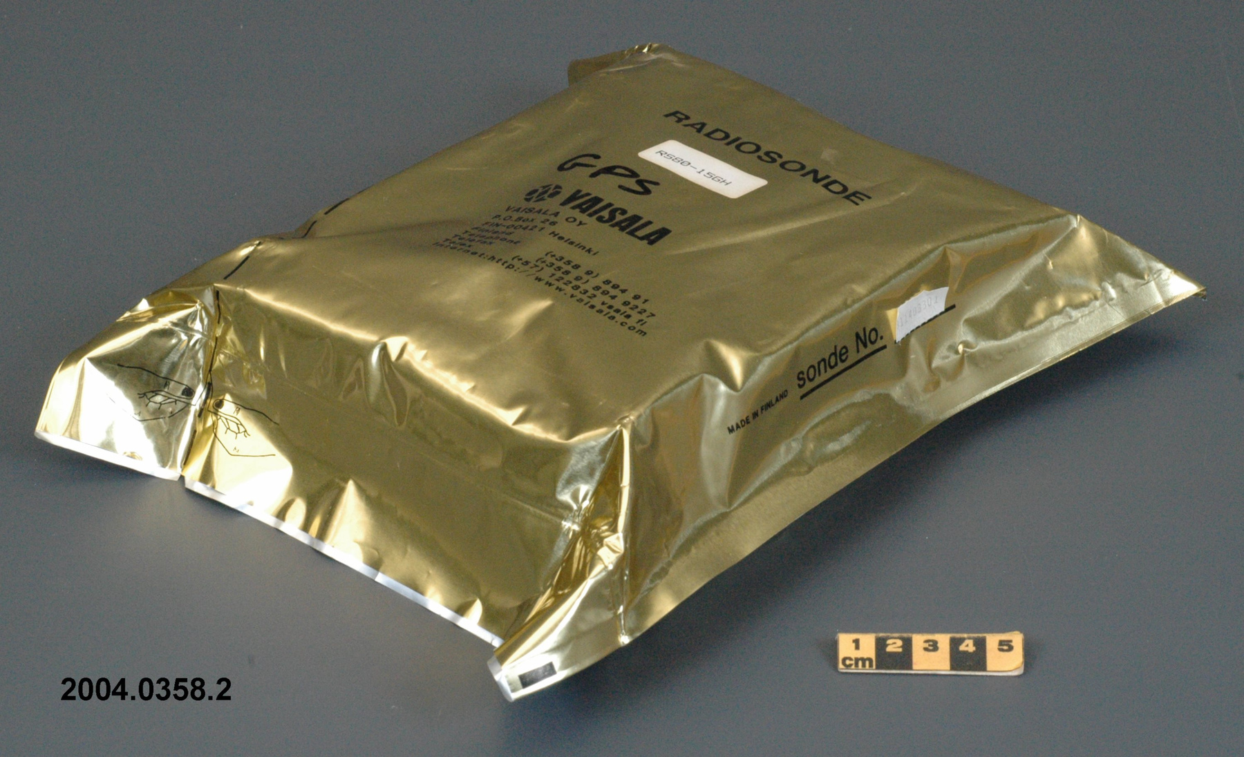
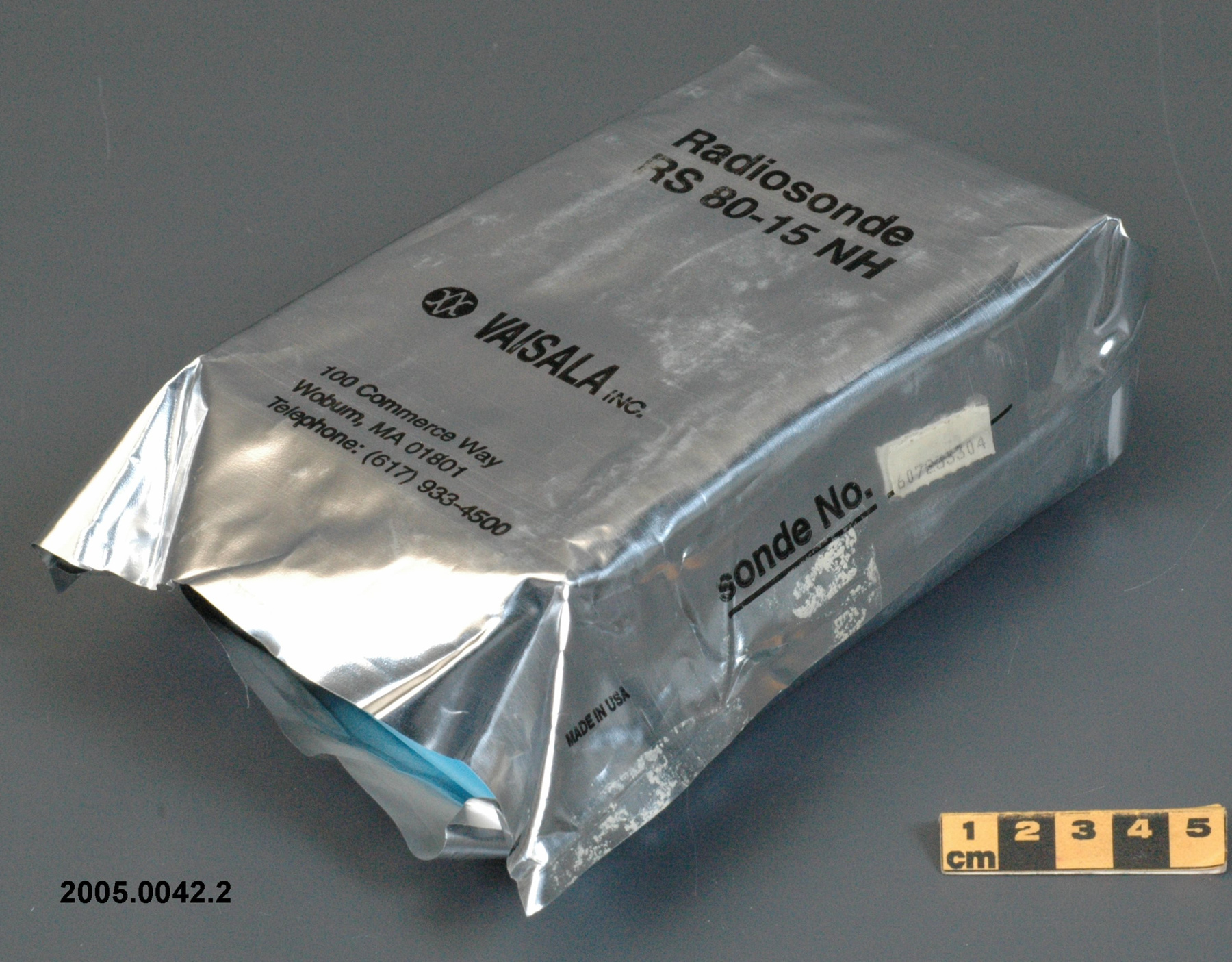
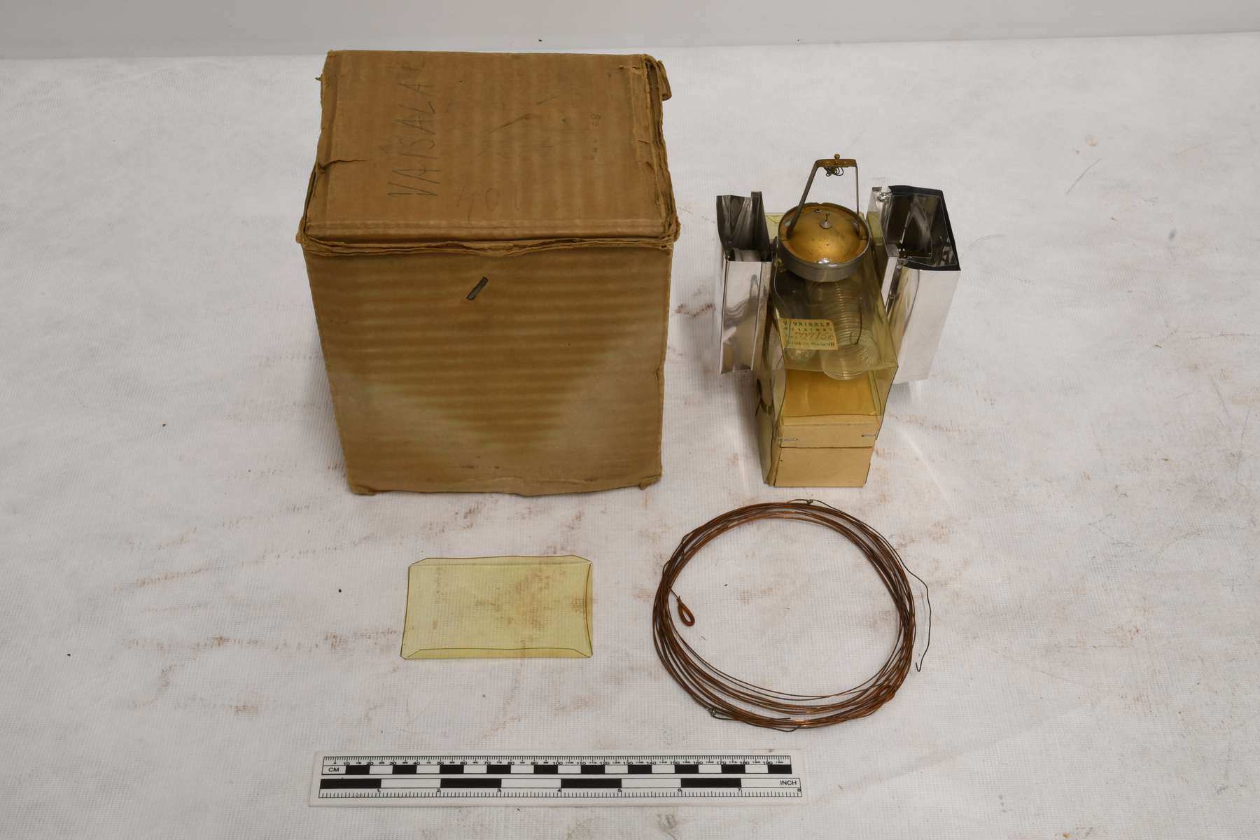
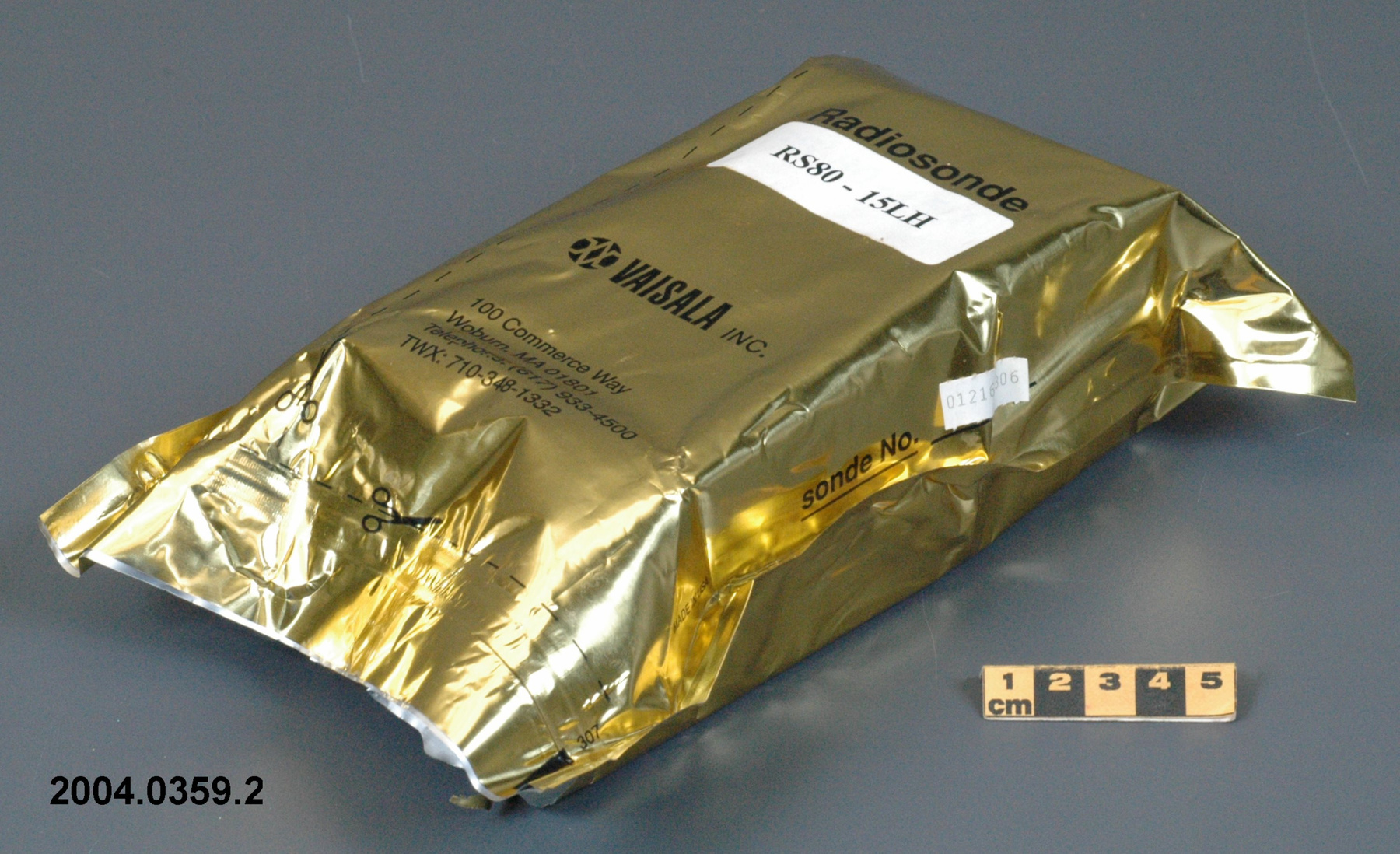
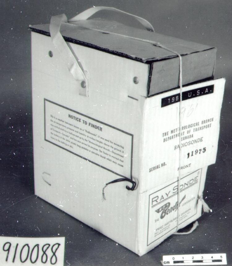
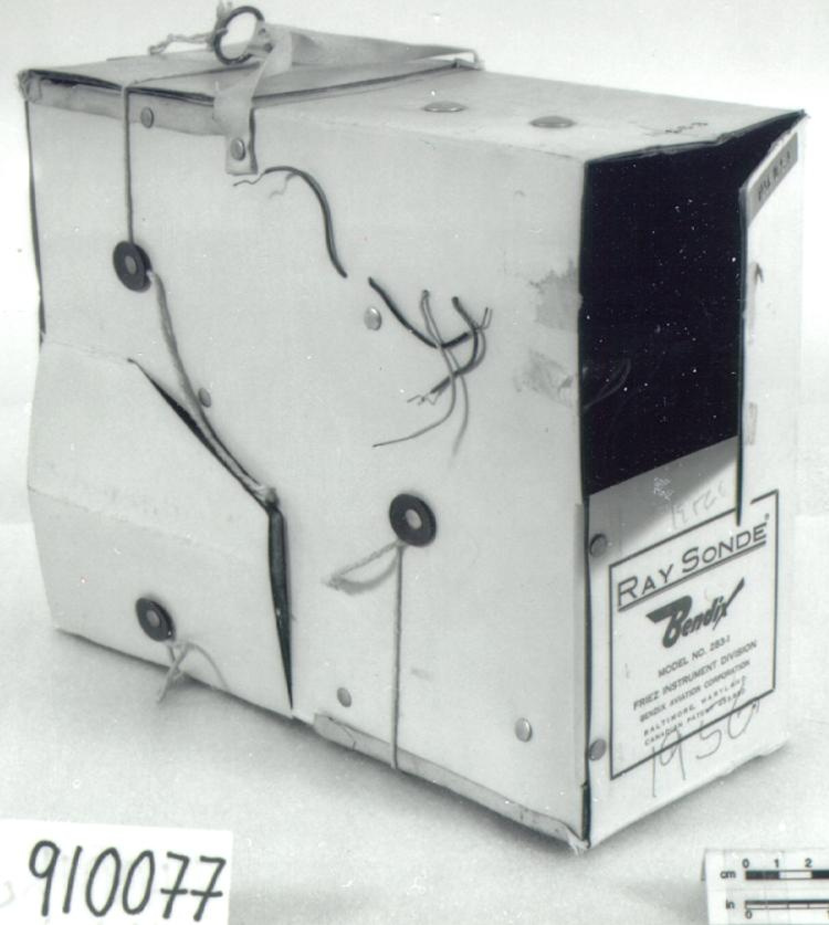
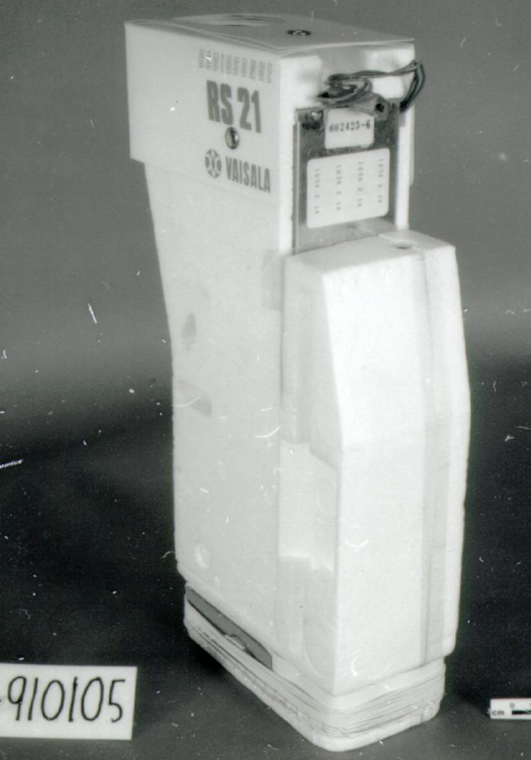
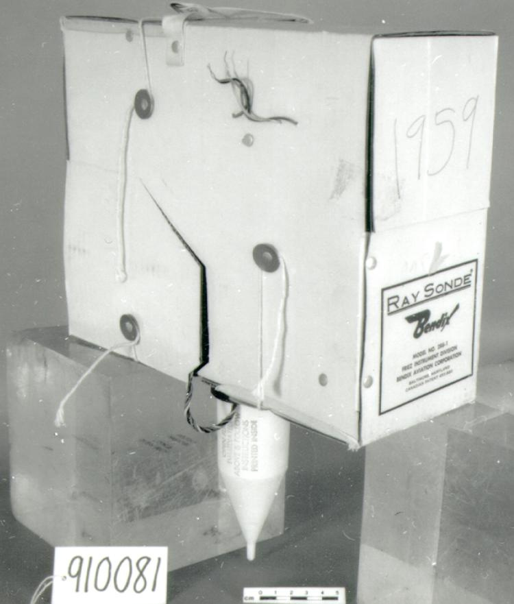
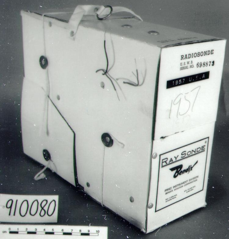
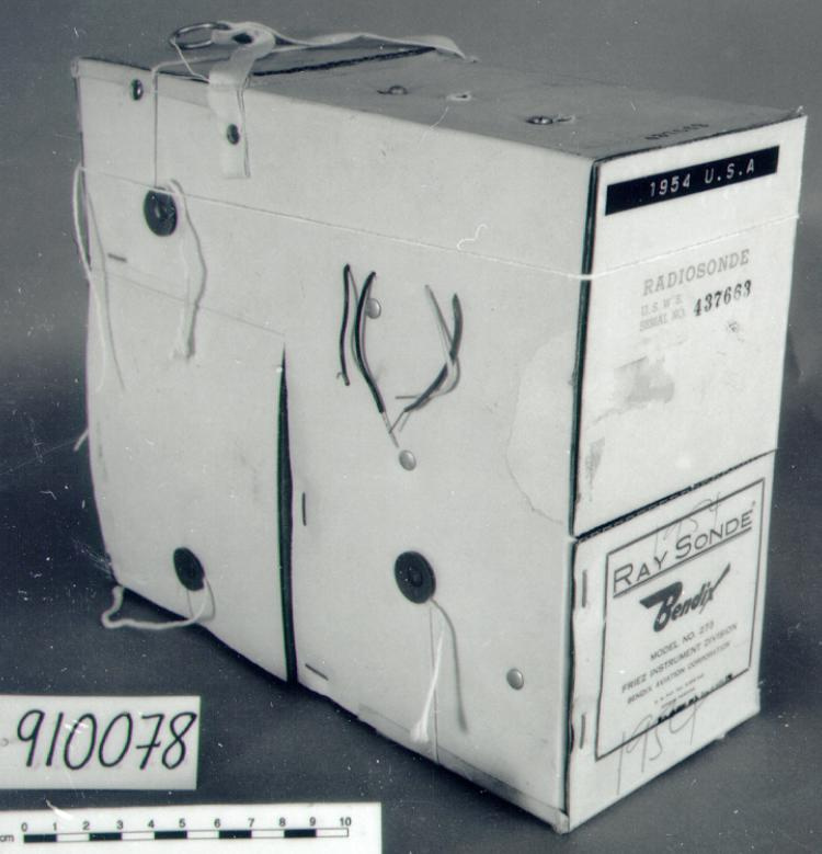
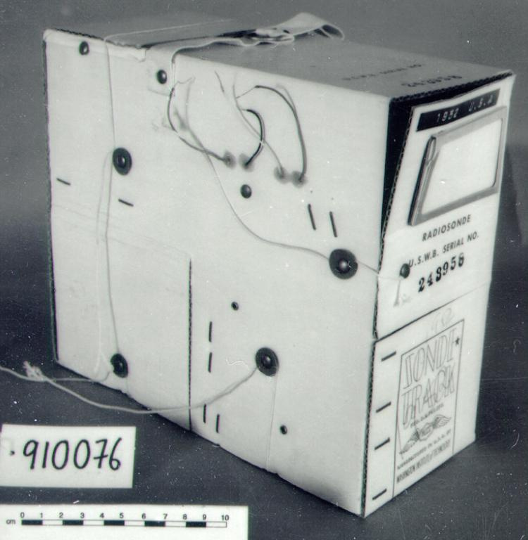
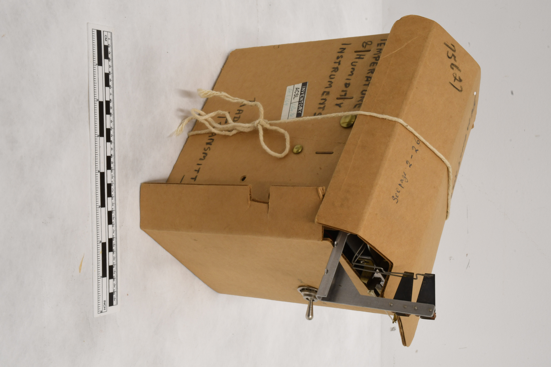
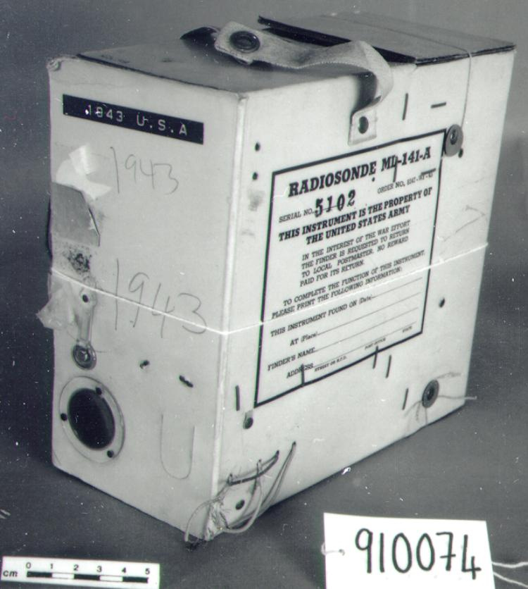
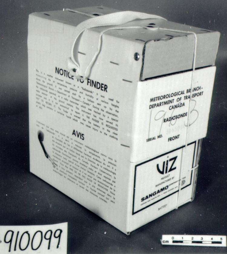
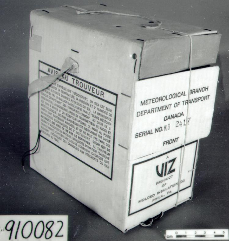
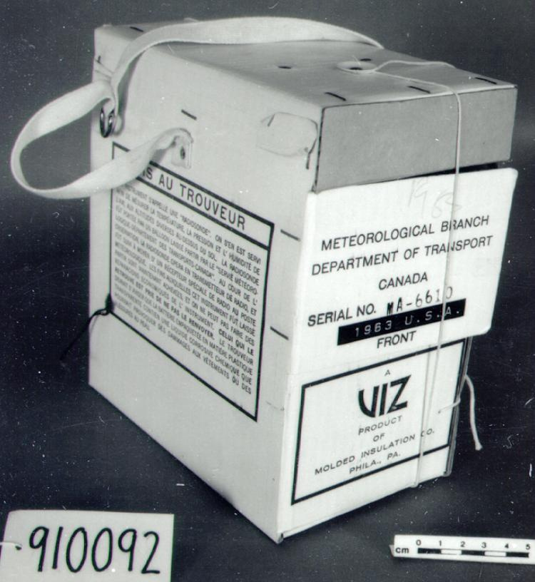
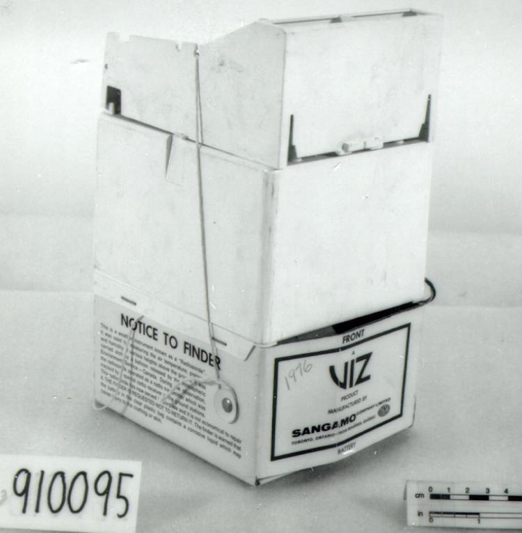
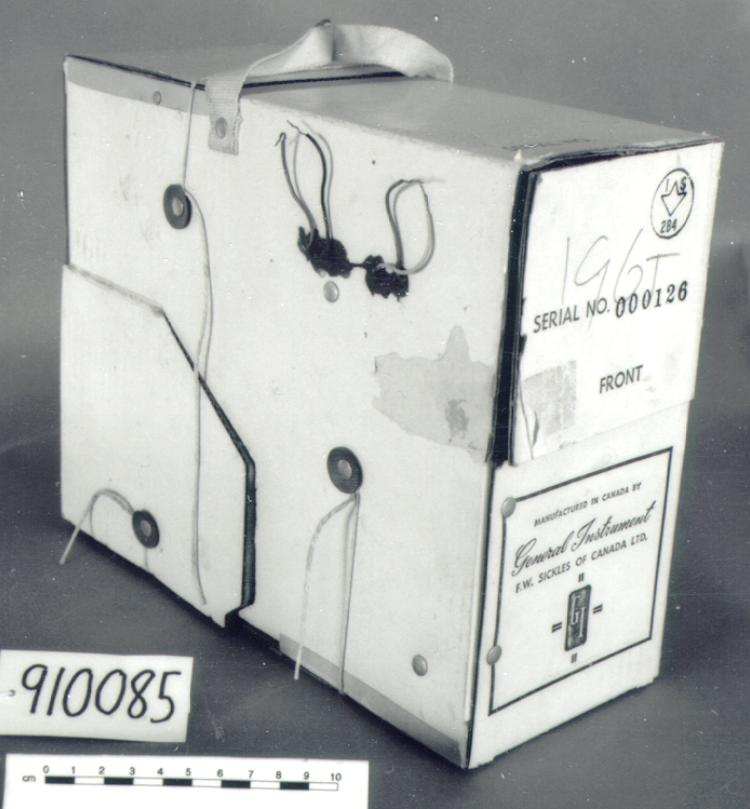
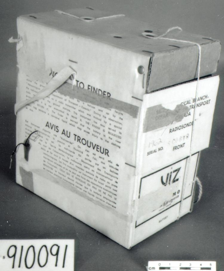
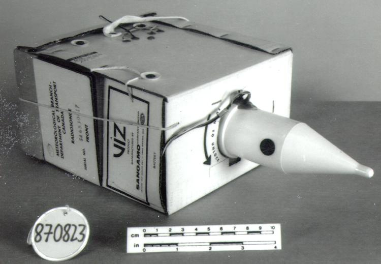
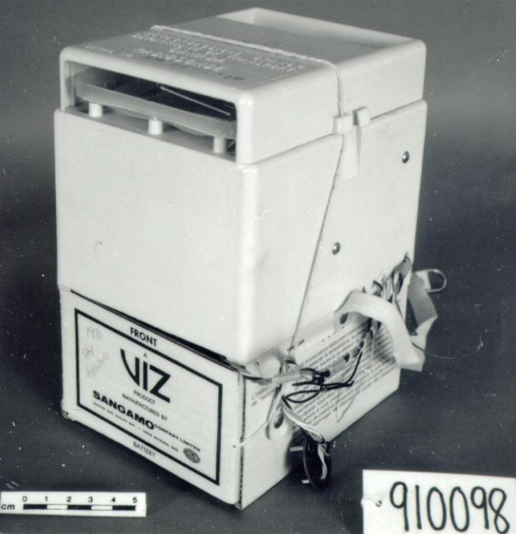
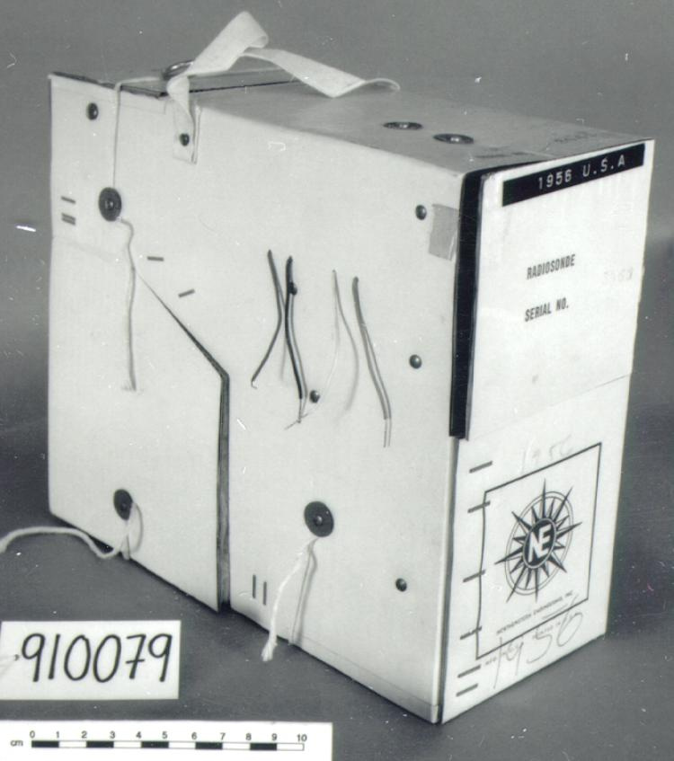
An example of a radiosonde of a type used by the Meteorological Service of Canada at its 31 upper air observing stations mostly across southern Canada. In the 1980's the (American) National Bureau of Standards types of radiosondes (such as 1987.0824, 1987.0826, 1991.0095, 1991.0100), which had been the main operational radiosonde in Canada for fifty years, began to disappear. Gradually starting in 1985 they were replaced by the Viz/Beukers Mark I/II (2004.0360, 2005.0043) and the Vaisala RS80 NAVAID radiosondes (2004.0358-0359, 2005.0041-0042). The RS80 was being used at all Canadian stations by 1999. By 2004 the MSC was considering replacing the latter with the Vaisala RS90 or RS92 (Ref. 2). In 2007 the RS80 was still available from Vaisala but had been superseded by the RS92 (Ref. 5). Part of a large collection of meteorological instruments acquired from the Meteorological Service of Canada (previously Atmospheric Environment Service) by the CSTM since 1967. MSC is the government agency responsible for collecting and disseminating meteorological data and forecasts in Canada. It was founded in 1871 in Toronto where it is still headquartered. The MSC was originally on the University of Toronto downtown campus but moved to Downsview in 1971 on land owned by UofT. The headquarters houses laboratories, research facilities and calibration and instrument maintenance facilities (now largely contracted out). - Fonction
-
A device lifted by balloon into the upper atmosphere to measure temperature, humidity, and air pressure and transmit the data to earth. Wind speed and direction were determined by means of the Global Positioning System, a satellite based navigation system - Technique
-
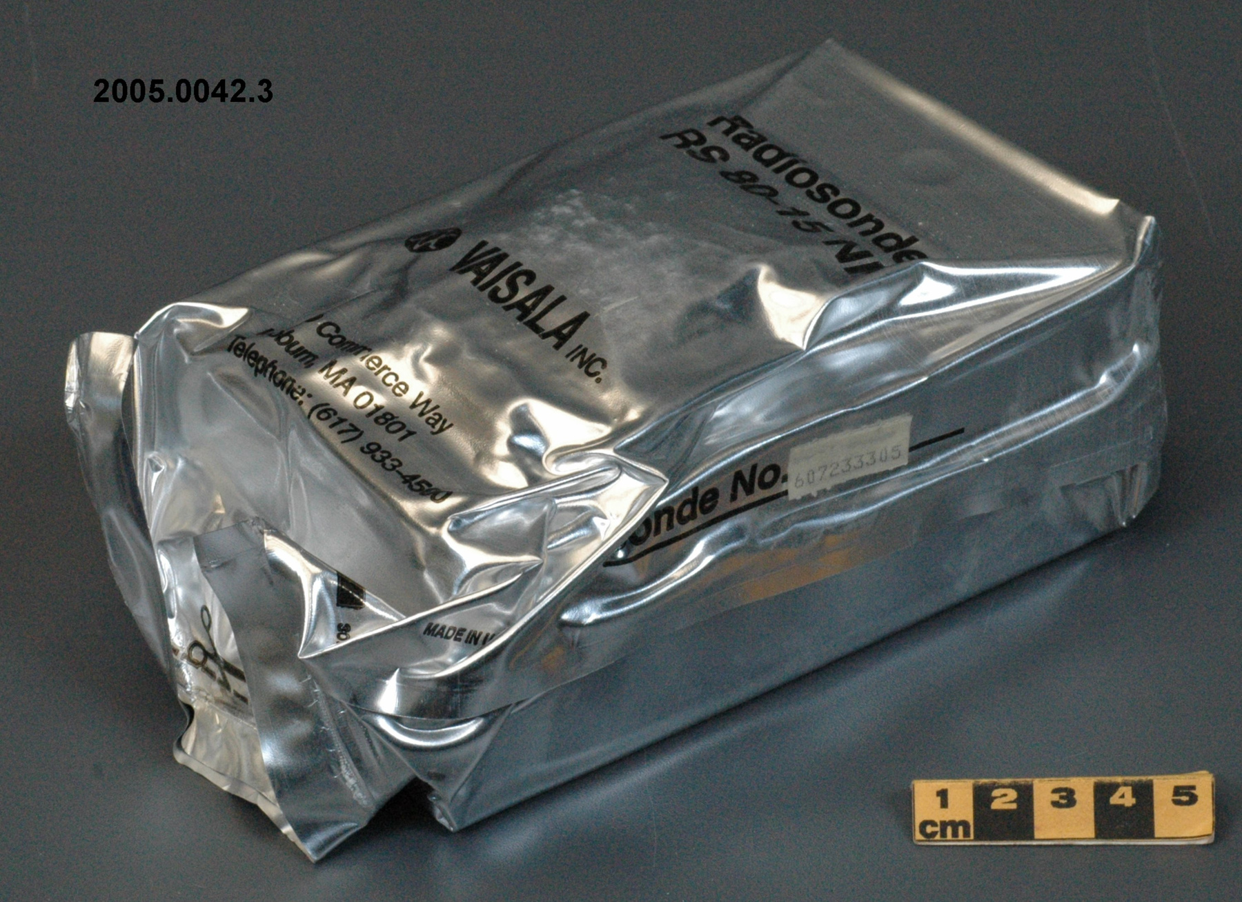
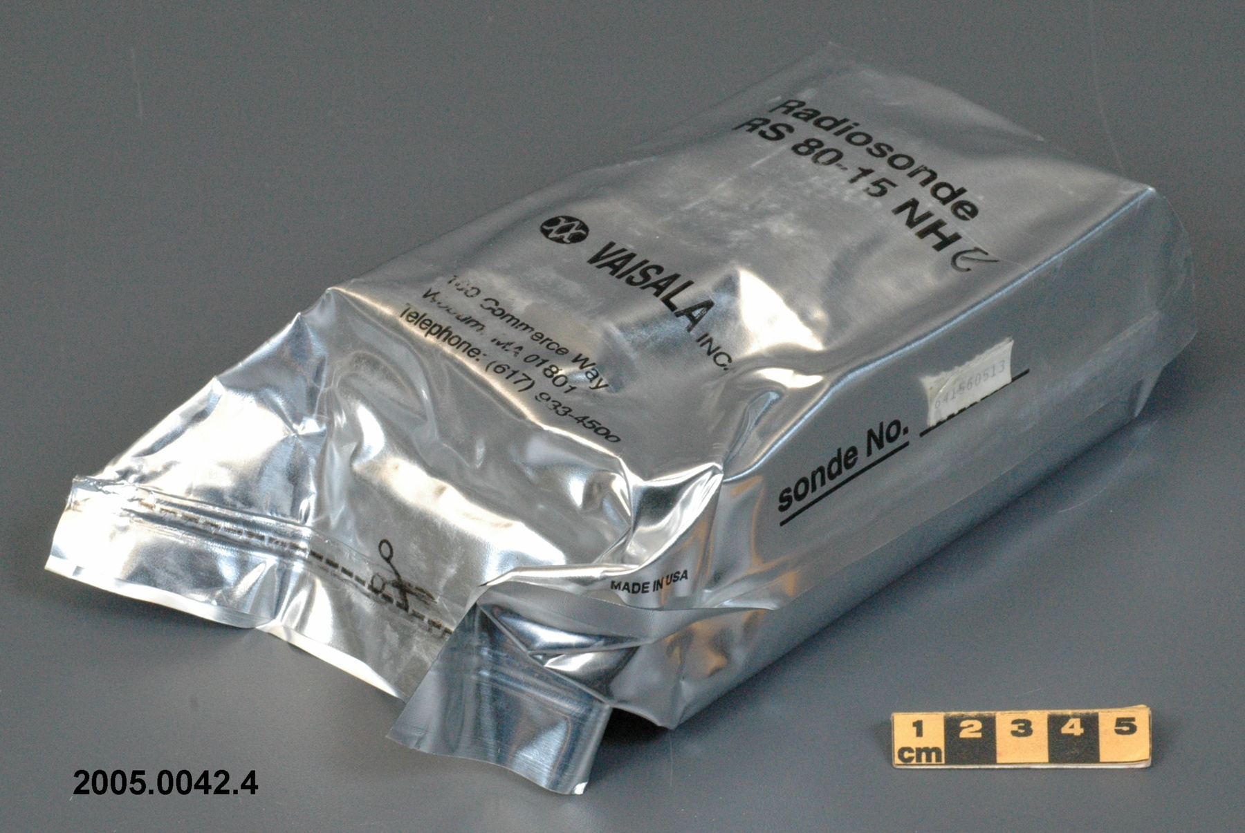
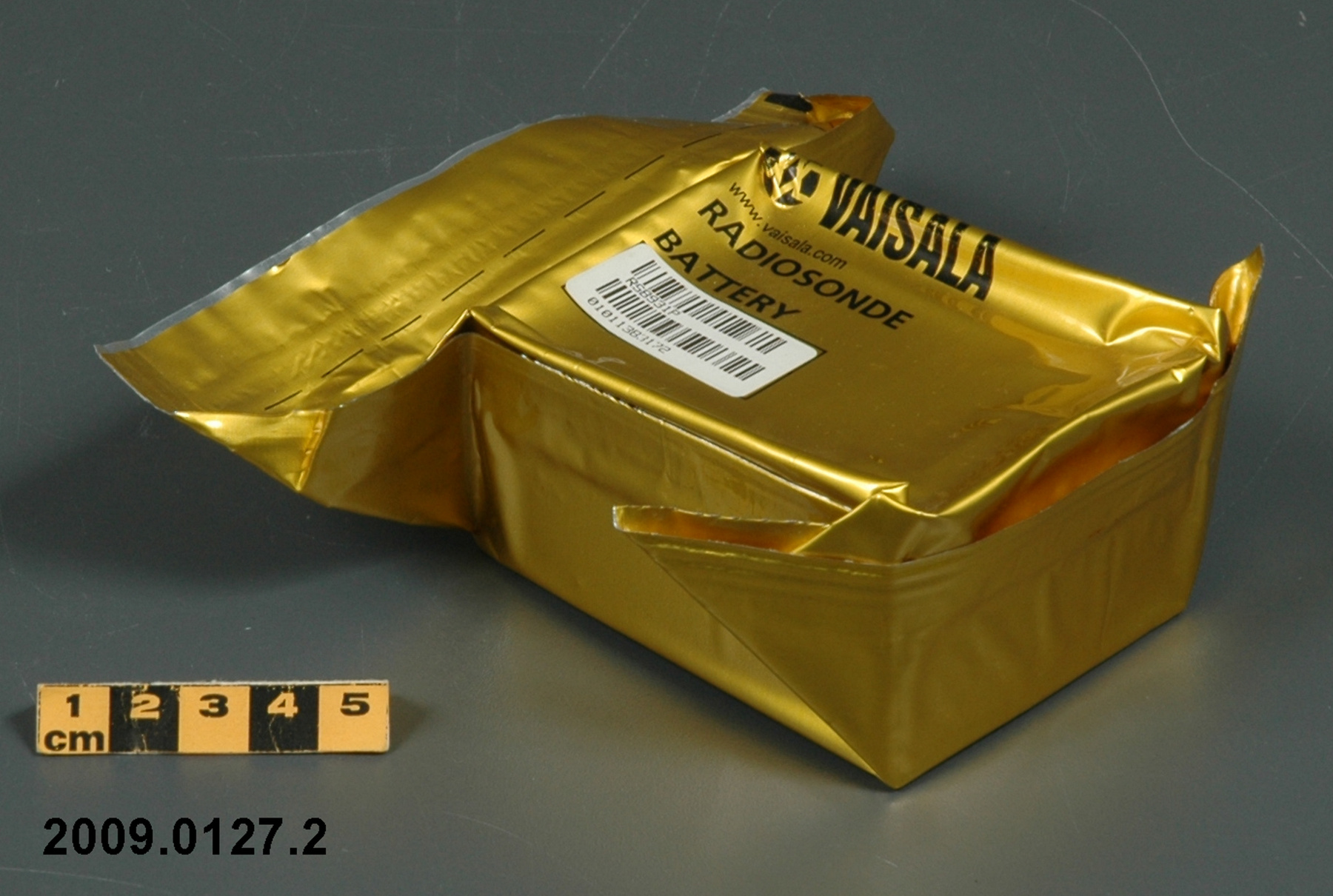
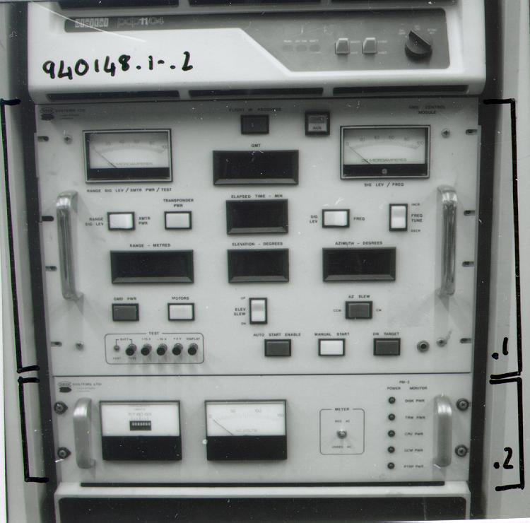
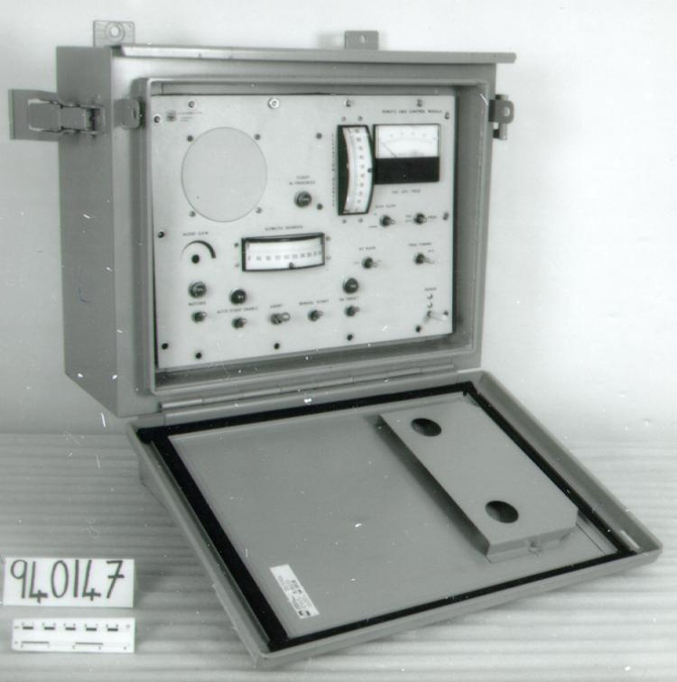
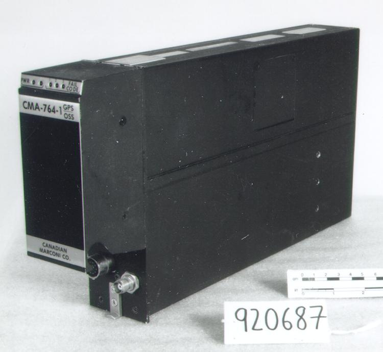
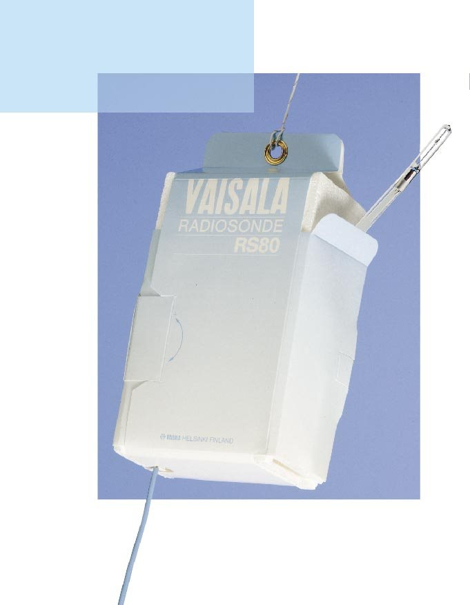
A type of radiosonde which uses signals from a system of navigational radio transmitters to determine the position of an ascending balloon (and thus wind velocity and direction), known as the Navaid method. A receiver in the sonde detects navigational signals which are sent to the ground station for positional determination from which the winds are calculated. This version of the Vaisala RS80 radiosonde is equipped to measure wind speed and direction by means of the Global Positioning System (GPS). The Meteorological Service of Canada exclusively used the Finnish Vaisala RS80 family of radiosondes which were introduced in 1983. They were manufactured in Woburn, Massachusetts by Vaisala Inc, but are now manufactured in Finland. At release the RS80 weighs 240 gm including the battery and train unwinder. The radiosonde is packaged in styrofoam and its density is low so that it cannot damage anything when it lands. The 19 volt battery is activated by immersion in water when the instrument is being prepared. The battery will last for 135 minutes which is sufficient for the flight and the preflight preparations. Each radiosonde is shipped packed in a hermetically sealed metal foil bag to preserve the instrument and battery during storage which may be up to two years. The 403 MHz transmitter broadcasts with a power of 200 milliwatts. Each type of radiosonde has a built in antenna and receiver for its particular navigational signals. Several models of the RS80 were used for regular flights: the RS80 15LH is the Loran-C radiosonde; the RS80 15GH is the GPS radiosonde; the RS80 15FH is the VLF radiosonde (Ref.2). The RS80-15N measured the usual pressure, temperature and humidity but was also designed to measure upper air winds through the Omega Navaid global network established in the early 1970's (Ref. 4) The sensor package is on a separate circuit board which contains an aneroid pressure sensor (Barocap). The ceramic chip temperature sensor (Thermocap), and a polymer film humidity sensor (Humicap) are mounted on an external arm attached to this board. During a 1.5 second period an electronic commutator switches in each of the different sensors as well as two reference capacitors and the Barocap temperature sensor. All of these sensors use the variation in their capacitance to determine the parameter being measured. The RS80 radiosonde is capable of measuring this capacitance with a resolution of 10 -3 pF. The carrier frequency is amplitude modulated with the sensor information at a 10 kHz rate (Ref. 2). Winds are computed in a number of ways and a different radiosonde is required for each method. Basically a receiver in the sonde detects navigational signals which are sent to the ground station for positional determination from which the winds are calculated. The most common radiosonde used in Canada is Loran-C (Long Range Navigation) which is primarily utilized at twenty one of the southern stations. The second method, VLF, which is used at the ten northern stations uses navigational data from military ComVLF and Russian Alpha stations to compute the ground position of the radiosonde. The third method uses the Global Positioning System (GPS). This latter method is only used when the former two are unavailable since the GPS radiosondes are about twice as expensive as the other sondes. Since Canada uses 23,000 radiosondes per year the extensive use of the GPS radiosonde could add over two million dollars to the present radiosonde budget. The low frequency receivers on the Loran or VLF radiosondes are very simple and inexpensive in comparison to the complex 1.5 GHz receiver on the GPS sonde. All of these navigational systems (navaid) determine the ground position of the radiosondes from which the winds can be calculated. In Canada every upper air stations are equipped to use any of these three types of radiosondes. Other wind determination methods are: direct tracking using a radiotheodolite (previously used by Canada), or ranging using a surface based radar or a transponder located in the radiosonde. While each of these methods have sufficient accuracy for wind determination, the GPS is the most accurate. Completed in 1994, the GPS consists of 28 satellites orbiting 20,000 Km above the earth which supply navigation information for almost 100% of the earth's surface. Five ground stations deliver accurate positional data to each of these satellites. Each of the satellites broadcast their positional data along with time data from the very accurate onboard clock. The time delay required for the satellite signals at 1575.42 MHz to be received by the ground based GPS receivers is used to calculate the location of the GPS. At least four satellites are required for the GPS to determine latitude, longitude and altitude. The GPS data is transmitted from the radiosonde as a 1200 baud signal modulated on top of the normal analogue signal. The GPS radiosondes cost $235 each (Ref. 2). - Notes sur la région
-
Inconnu
Détails
- Marques
- white lettering on front and back reads 'VAISALA/ RADIOSONDE/ RS80' with blue lettering reading 'VAISALA HELSINKI FINLAND'/ typed numbers on paper reading in part '811403301'
- Manque
- appears complete
- Fini
- white casing with pale blue and white covering/ blue antenna covering/ blue hanger with white cord/ white and red paper/ red and black wire covering/ plated grommets
- Décoration
- S/O
FAIRE RÉFÉRENCE À CET OBJET
Si vous souhaitez publier de l’information sur cet objet de collection, veuillez indiquer ce qui suit :
Vaisala Oy, Radiosonde, 1998, Numéro de l'artefact 2004.0358, Ingenium - Musées des sciences et de l'innovation du Canada, http://collections.ingeniumcanada.org/fr/id/2004.0358.001/
RÉTROACTION
Envoyer une question ou un commentaire sur cet artefact.
Plus comme ceci
